100 Florida Trails®
Top FL Multi-use Bike Trails
Map Links & Photos Galore
Coast-to-Coast Updates
You are here > Home >
Trails >
South FL-East >
Miami Beachwalk
Latest update: December 2022
Miami Beachwalk... Southeast Florida
Walk or Bike, 8 Scenic Miles along Famed Miami Beach
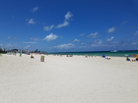
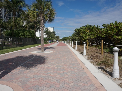
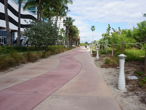
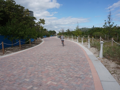
The former Miami Beach Boardwalk has been upgraded and extended. Renamed the "Miami Beachwalk," it now runs for the entire length of Miami Beach, about 8 miles fully paved (South Pointe Park to Surfside town limits). With beach and ocean views, and with access to hotels, restaurants, shops, and parks, the Miami Beachwalk makes for an easy, mostly scenic recreational bicycle ride. It's a quieter, more laid-back way to explore, as it avoids the congestion just a block or two away. (Map overview and photos below.)
Location: Dade County (Miami, South Beach)
End Points: South Pointe Park, Miami Beach to Surfside town limit
Mileage: 8 miles, plus 1 additional mile at South Pointe Park, Miami Bayway to Miami Marina
Surface: Paved path, 12-23 feet (15 average)
Nearby points of interest: Miami and Miami Beach,
South Beach Art Deco district, Lincoln Road pedestrian mall, Holocaust Museum, Botanical Gardens
Bike Shops/Rentals:
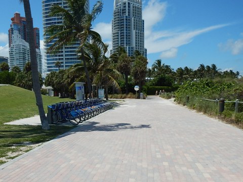
CitiBikes (bike share)
Miami Beach
Bicycle Center (rentals, sales, service)
Bike and Roll Miami (rentals, tours)
Page Summary:
- Biking the Miami Beachwalk
- South Beach - South Pointe Park to
23rd St.
- South Pointe Park, Bayway at Miami Marina, Lummus Park, Art Deco District - Mid Beach - 23rd to 46th St.
- Indian Beach Park - North Beach - 46th to 87th St.
- Allison Park, North Beach Oceanside Park - Path at Surfside
- Lifeguard Towers
- More Information and Resources
Biking the Miami Beachwalk... Comments and Photos
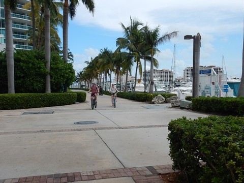
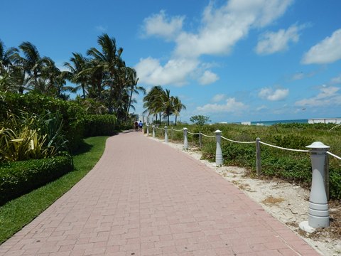
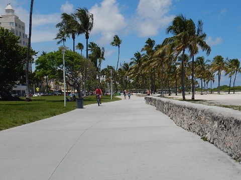
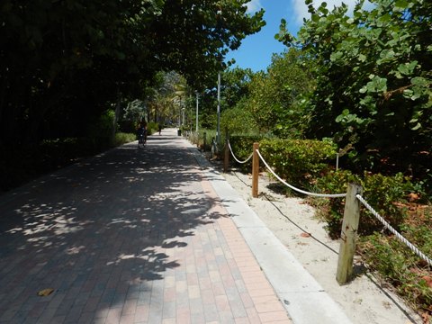
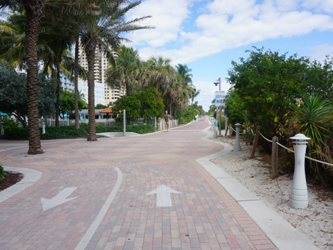
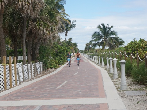
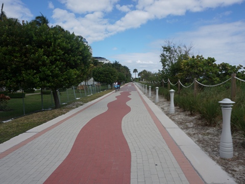
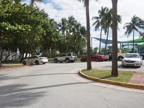
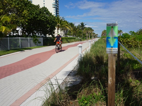
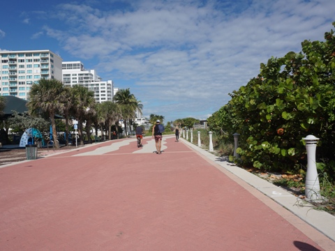
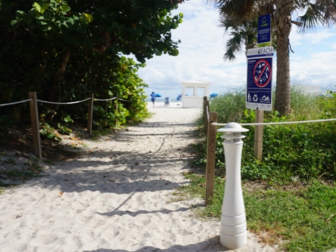
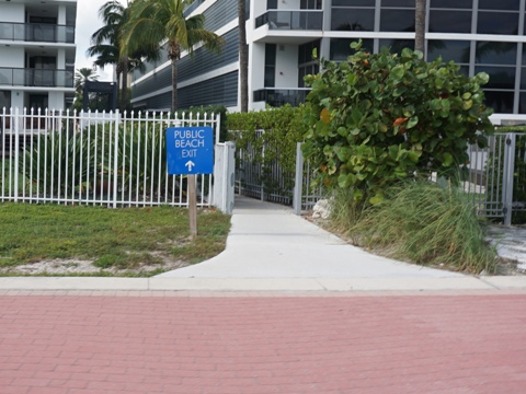
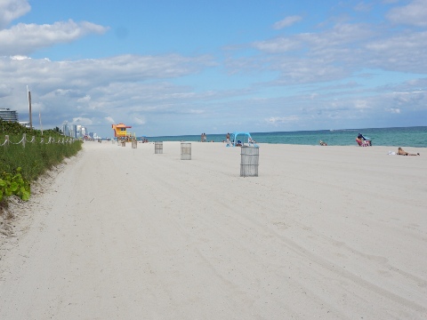
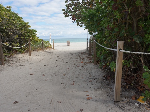
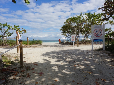
The entire Beachwalk is fully bikeable. Sometimes, it's a peaceful easy ride. During peak tourist season, it can get crowded, with bikers, walkers, joggers, skaters, children, dog walkers, etc. Watch for beachgoers crossing over at beach entries. Parking can be challenging and is fee-based. Many bike shares and bike rentals are available. For the most part, the beach here is too soft for biking and just pushing a bike in the sand can be a chore. The lifeguard towers (photos below) are of interest, featuring different colors and shapes up and down the beach. The ocean view is often blocked by vegetation, which provides some wind break and occasional shade. Directional and safety signs are posted regularly and at hotel and condo exit gates. One of the most architecturally iconic sections is the South Beach Historic District, located along the Beachwalk just north of its beginning at South Pointe Park. From here, the Beachwalk also connects to the Miami Bayway, a 1-mile multi-use trail running past Miami Marina, a short but scenic side trip. The Miami Beachwalk is also part of the East Coast Greenway (Key West to Maine).
** Trivia footnote: The sidewalk design is inspired by Brazilian landscape architect Roberto Burle Marx's "Oceanwalk" along Copacabana Beach.
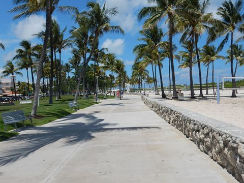
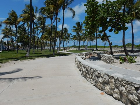
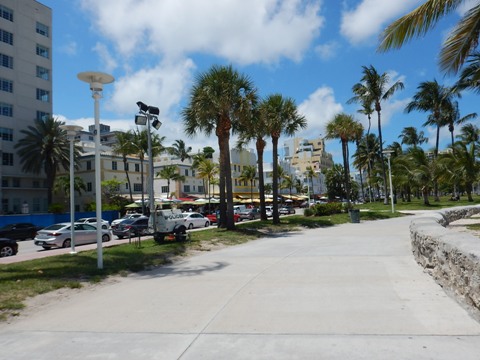
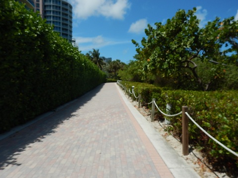
South Beach - South Pointe Park to 23rd St.
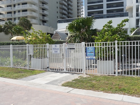
Baywalk and South Pointe Park
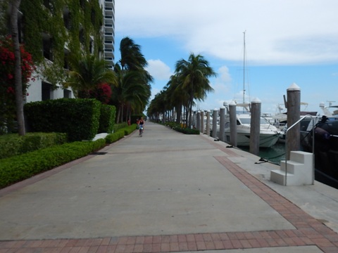
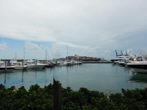
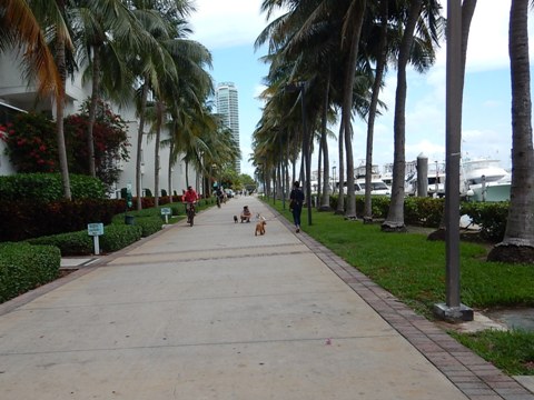
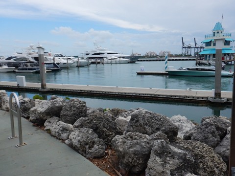
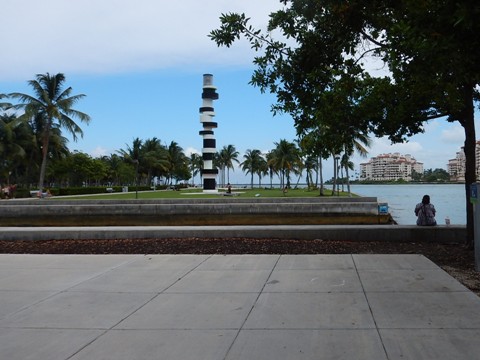
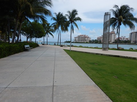
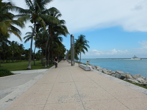
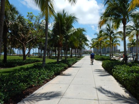
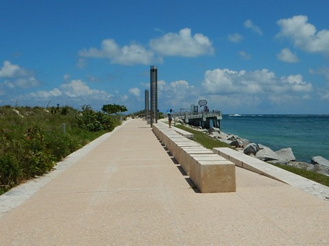
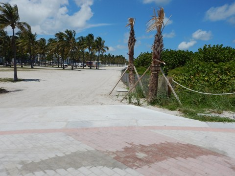
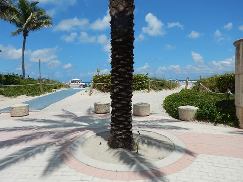
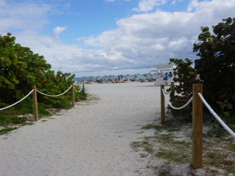
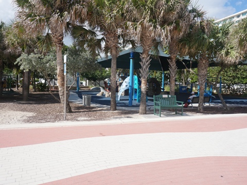
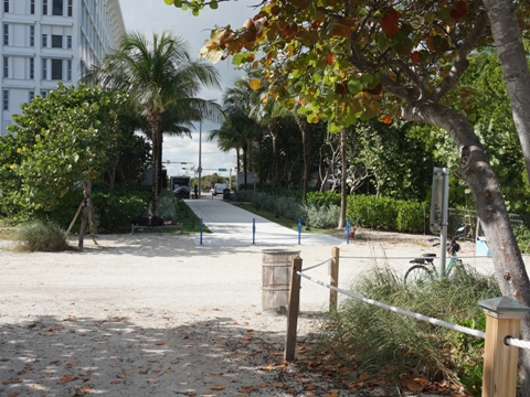
The Miami Beachwalk starts at 17-acre South Pointe Park, which has parking, picnicking, beach access, walking and biking paths, restaurant, playground, great water views (popular for sunsets), and a pier. The pier marks the beginning of Miami Beach and the Miami Beachwalk. However, we start our description slightly before the Beachwalk begins. The Baywalk past Miami Beach Marina between MacArthur Causeway and South Pointe Park, combined with the Cutwalk (waterfront path along Governor's Cut) at South Pointe Park, add another mile. Watch leisure, cruise, and cargo ships as they pass through Governor's Cut to the ocean.
Baywalk from MacArthur Causeway to South Pointe Park
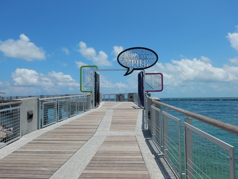

South Pointe Pier to 5th Street
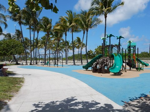
The Miami Beachwalk starts at the end of the pier and runs along the beach with good views. In this section are Nikki Beach (restaurant and beach club), Marjory Stoneman Douglas Ocean Beach Park (restrooms, playground), condos and hotels.
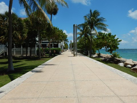
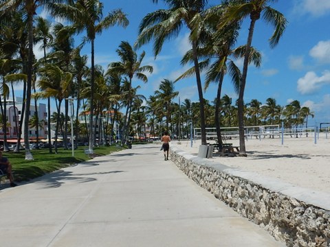
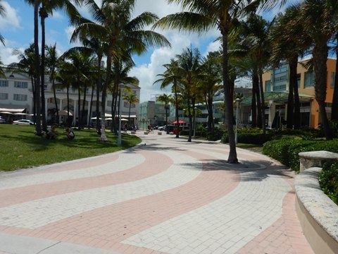
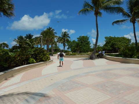
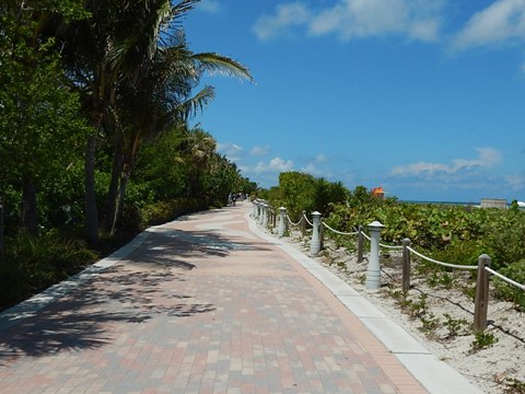
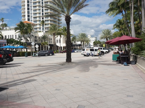
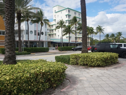
5th St. to 23rd St.
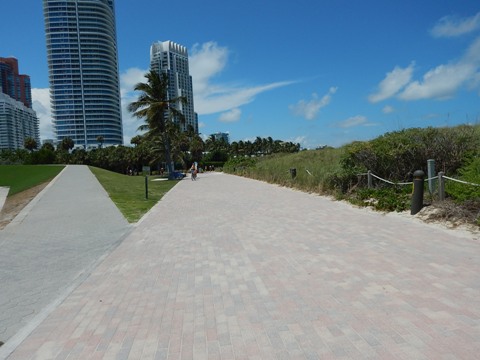
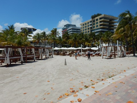
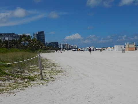
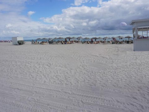
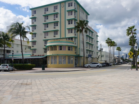
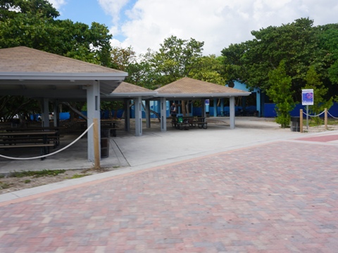
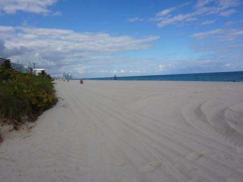
The Beachwalk turns further inland at Lummus Park and runs between Ocean Drive and the park with good views of the beach, Ocean Drive and the Art Deco District. Lummus Park (5th to 14th Sts.) includes restrooms and showers, playgrounds, volleyball, playing fields, and beach. The Muscle Beach outdoor fitness area is at 9th St. and the Art Deco Welcome Center at 10th St. This is the best known, most touristy district, with many restaurants, hotels and shops along Ocean Drive. Ocean Drive ends at 14th St. and the Beachwalk turns closer to the beach and runs between the beach and many hotels. Wide buffers on both sides with multiple access points to the beach and to hotels and restaurants. Some beach views obstructed.
5th St. to 14th St.
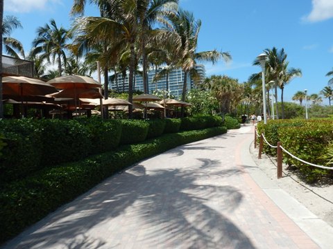
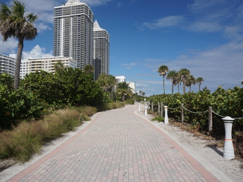
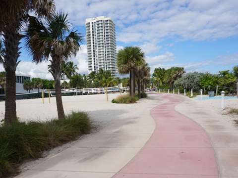
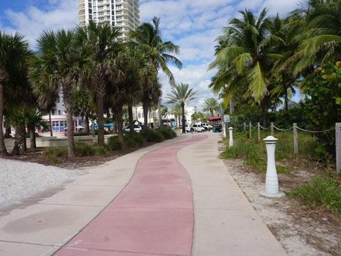
Mid Beach - 23rd St. to 46th St.
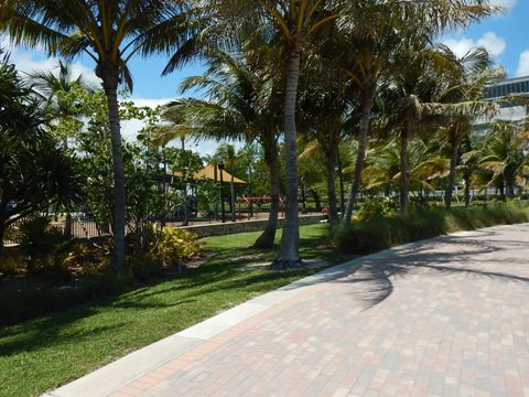
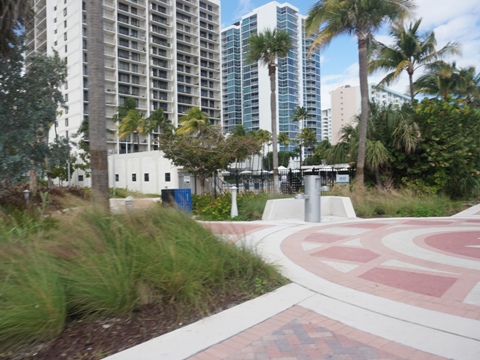
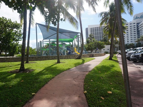
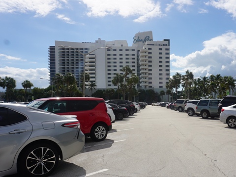
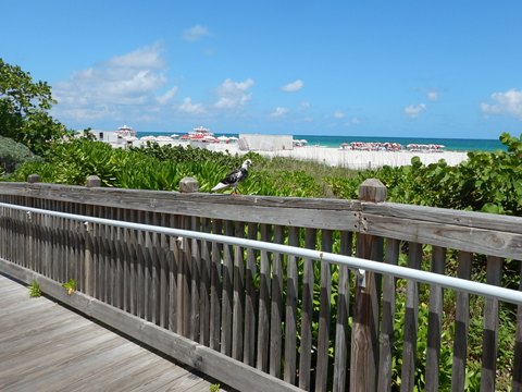
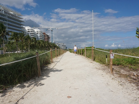
The original wooden boardwalk ran here, now the paved Beachwalk. This section passes mostly condos and hotels including the iconic Fontainebleau, with many crossovers to the beach - stay aware of the pedestrians and beachgoers. There also are many connections to the commercial areas paralleling the Beachwalk to the west, providing access to shops, restaurants, and other amenities. This section ends at Indian Beach Park, which provides parking, restrooms, and playground.
23rd St. to 46th St.
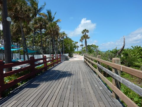
Original Miami Beach Boardwalk
This is a reminder of how it used to be. This segment ran from 23rd St. to 29th St.
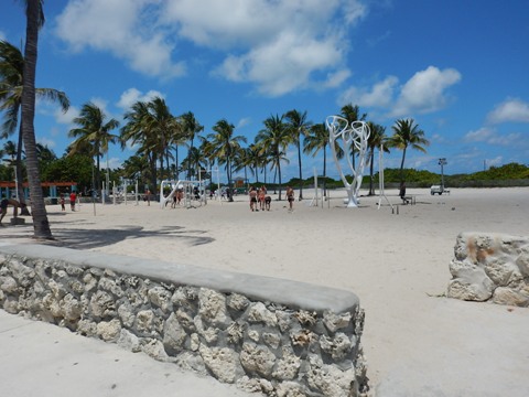
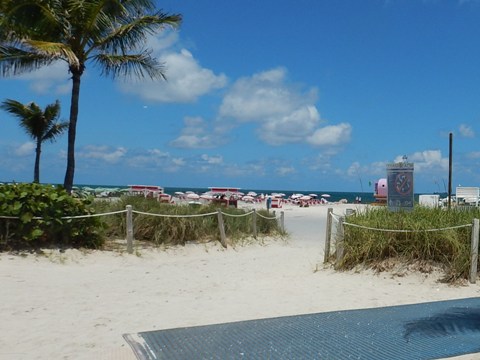
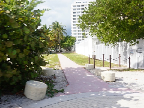
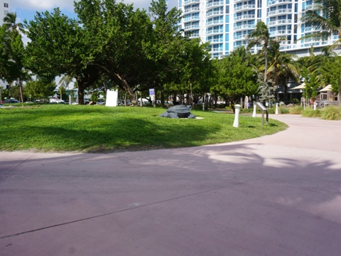
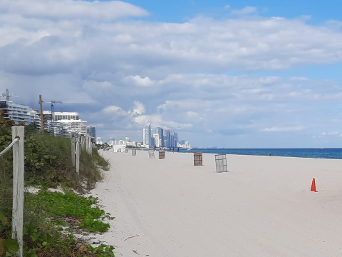
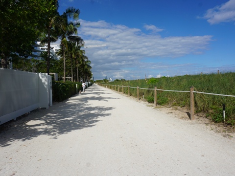
North Beach - 46th St. to 87th St.
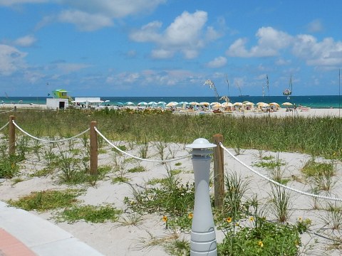
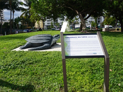
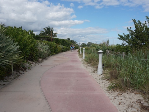
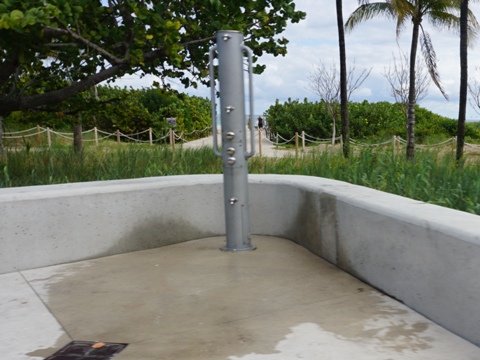
This section completes the connection through North Beach Oceanside Park to the town of Surfside. The Beachwalk proceeds similar to other sections, past residential areas and hotels, with many beach crossovers - some beach views obstructed. This is the least touristy section, with residential areas and local restaurants, shops and other businesses. New development is designed with a "town center" aspect, aimed at locals. The beach here is less crowded, as well. This section includes Allison Park (parking, restrooms, picnicking, playground, dog area) and its sea turtle sculptures. The Ocean Terrace neighborhood (74th-75th Sts.) is undergoing redevelopment, the "streetscape plan" includes open green spaces and renovation of the historic Broadmoor and Ocean Surf Hotels.
46th St. to 72nd St.
Including Allison Park
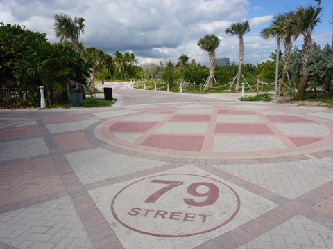
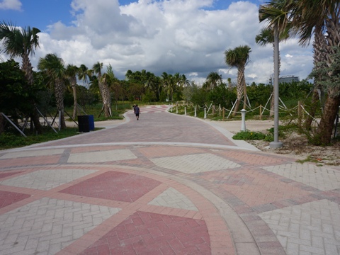
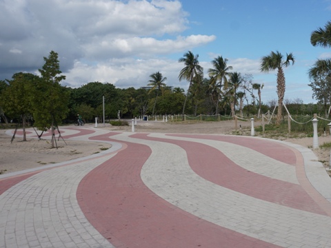
North Beach Oceanside Park, 79th St. to 87th St.
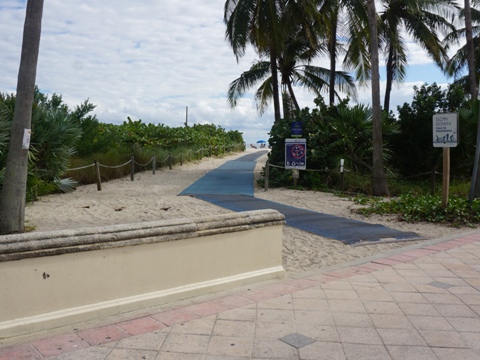
The Beachwalk has been extended through North Beach Oceanside Park which runs from 79th St. to 87th St. at Surfside town limits. The park provides parking, restrooms, picnicking, playground, dog park, more pathways, and many beach access points.
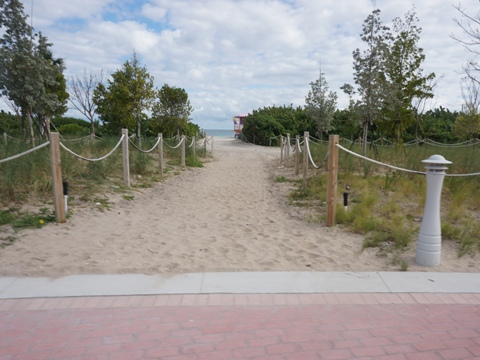

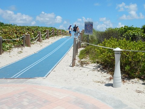
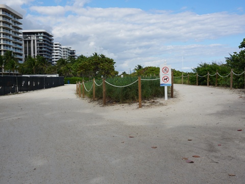
Path at Surfside
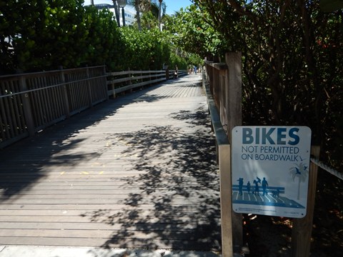
The Beachwalk connects seamlessly to the unpaved paths at Surfside and Bal Harbour. We rode a short distance at Surfside. We liked the separate pedestrian path, though it did block the bike path from water views.
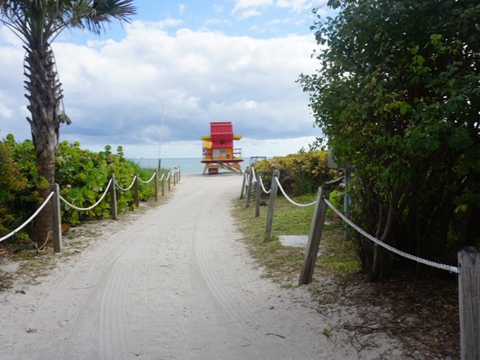
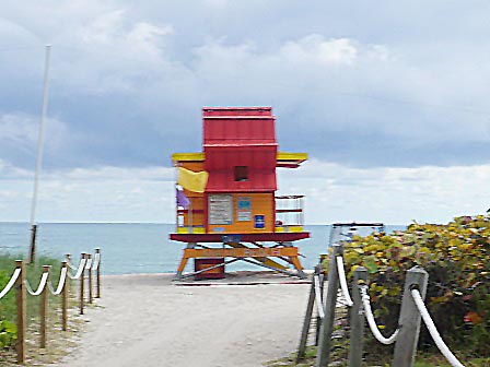
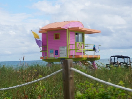
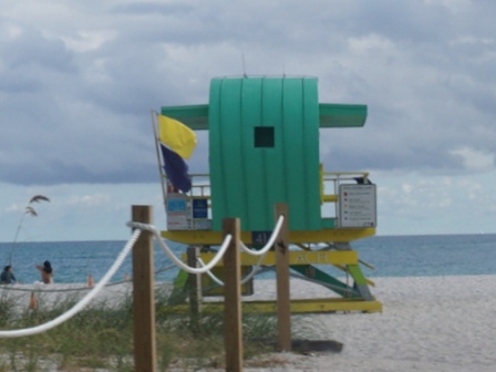
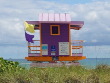
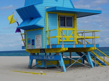
Lifeguard Towers
The colorful lifeguard towers are a fun feature along the beach, stretching from South Pointe Park to 86th St. After 1992's Hurricane Andrew destroyed the originals, they were rebuilt in a variety of styles and designs to represent Miami Beach's revitalization. They've since become iconic symbols of the city as a "sun and fun" destination. Here are some we saw.
More Information and Resources
Nearby Biking:
Oleta River State Park (eco-biking)
Rickenbacker Trail
Southeast FL Region
- More trails plus Regional Overview map
Related Resources:
Find Trails by FL Region or Listed A - Z

100FloridaTrails.com... 100+ Florida Multi-use Bike Trails, Best for Safe, Fun Recreation and Fitness
Other Websites:
BikeOrlando.net
PaddleFlorida.net
BikeTripper.net
Copyright © 100FloridaTrails.com. All Rights Reserved.