100 Florida Trails®
Top FL Multi-use Bike Trails
Map Links & Photos Galore
Coast-to-Coast Updates
You are here > Home >
Trails >
Florida Panhandle >
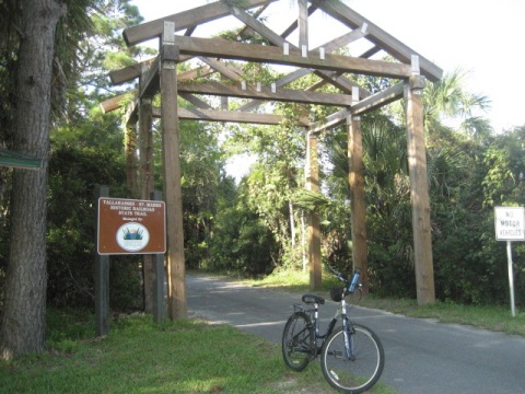
Tallahassee-St. Marks Historic Railroad State Trail
Latest update: November 2024
Tallahassee-St. Marks State Trail... Florida Panhandle
Now a Key Part of the "Capital City to the Sea" Regional Trails System
On the bed of Florida's first chartered railroad, the Tallahassee-St. Marks Historic Railroad State Trail is also the oldest paved rail-trail in Florida (opened in 1988).The trail runs 21 miles between St. Marks and Tallahassee. Enjoyed by bikers, hikers, runners, and skaters, there's also an adjacent equestrian trail. There are rest stops, restrooms, parks, and picnic areas along the trail to stop and relax. It's an historic area, so we include some interesting side trips as well. (Map link and photos below.)
Location: Leon and Wakulla Counties
End Points: Tallahassee (Gamble St. & FAMU Way) to end of SR 363
along Riverside Dr. at St. Marks River.
Mileage: 21 miles
Surface: Asphalt, 8-12'
Nearby points of interest: St. Marks Lighthouse,
San Marcos de Apalache Historic State Park, St. Mark's National Wildlife Refuge,
Florida State University, Florida A&M University, Cascades Park
Bike Shops/Rentals:
The Great Bicycle Shop (Tallahassee;
rentals, sales, service)
Support and Advocacy:
Friends of St. Marks
Wildlife
Refuge
Page Summary:
- Biking the Trail
- St. Marks River Trailhead to Wakulla Station Trailhead - 6.8 miles
- Wakulla Station Trailhead to Capital Circle Trailhead - 9 miles
- Capital Circle Trailhead to Trail End - 4.8 miles
- Northern End, Onto Capital Cascades Trail - Nearby Places of Interest
- St. Marks Lighthouse
- St. Marks National Wildlife Refuge
- San Marcos de Apalache Historic State Park - More Information and Resources
Biking theTallahassee-St. Marks Historic Railroad State Trail... Comments and Photos
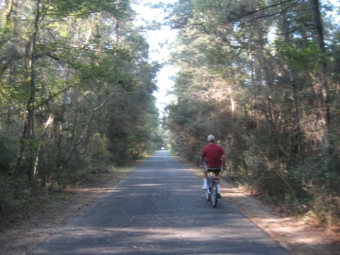
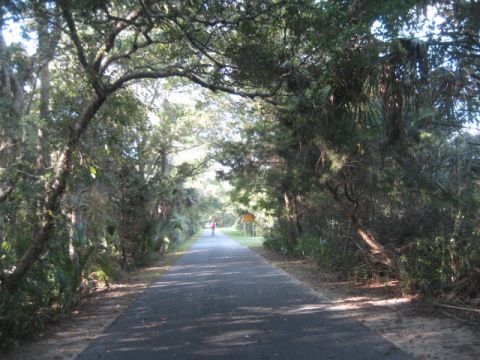
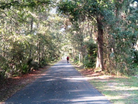
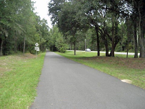
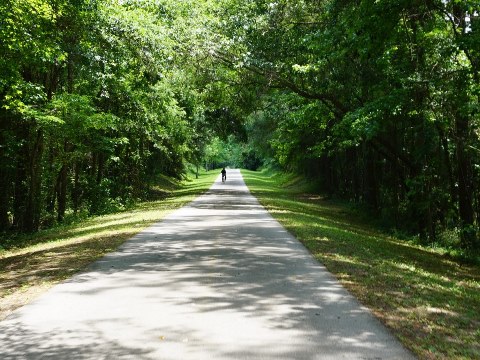
The trail is very diverse, to the south starting from the St. Marks River, laid-back St. Marks has restaurants and shops. It runs through St. Marks National Wildlife Refuge, as well as parts of the Apalachicola National Forest. A portion of the Florida National Scenic Trail also runs along the trail. To the north, it gets busier, running through local communities close to restaurants, shops, and accommodations. The northern end is just blocks from Florida State University. Much of the trail parallels roadways, but with wide buffers and abundant shade, they don't dominate the ride. The trail is part of the evolving 120-mile Capital City to the Sea Trails loop, is a destination along the Big Bend Scenic Byway, and also is a designated National Recreation Trail.
Here we visit the trail from South to North
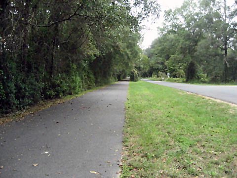
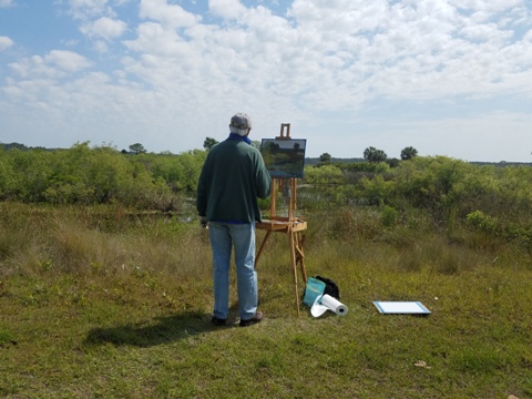
St. Marks River Trailhead to Wakulla Station Trailhead - 7 miles
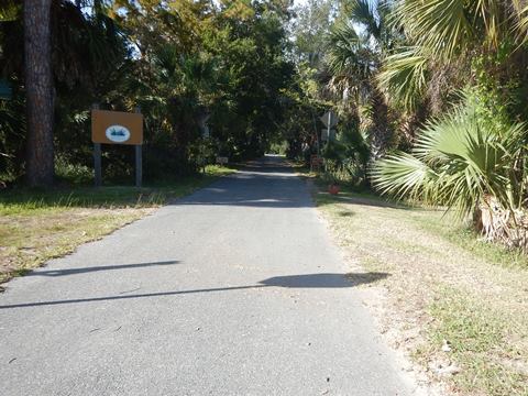
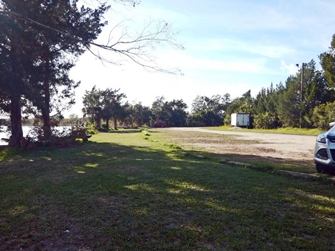
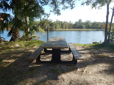
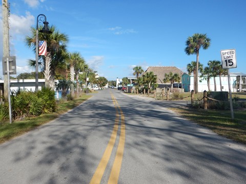
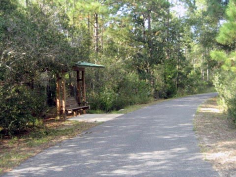
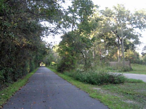
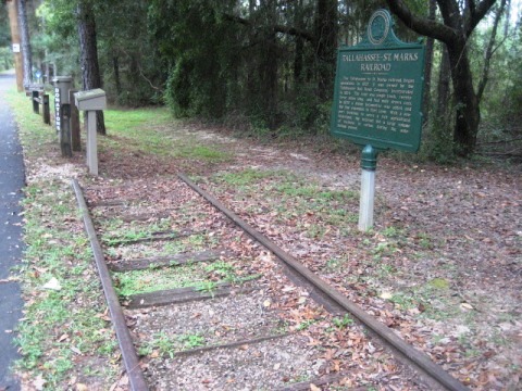
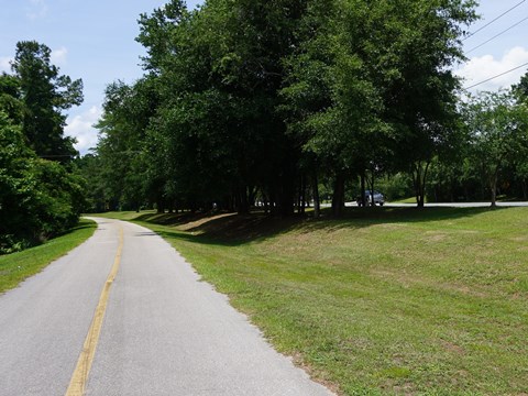
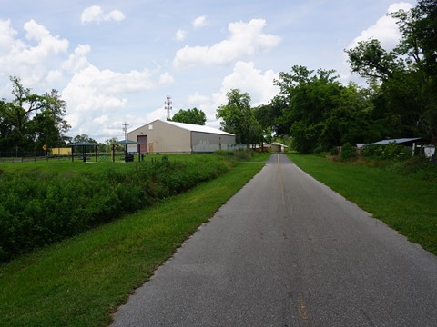
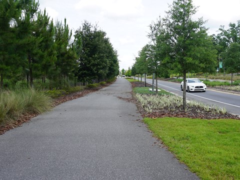
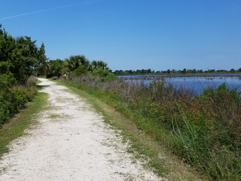
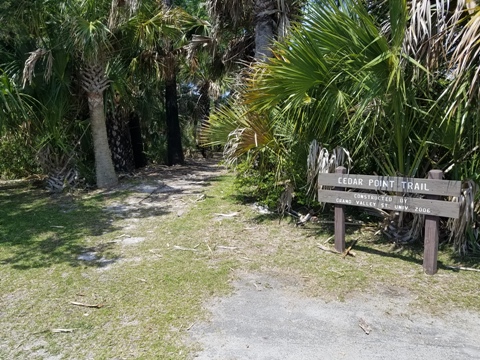
The trail starts in the tiny town of St. Marks, FL, near the junction junction of the Wakulla and St. Marks Rivers. Here is parking, with restaurants, water, and restrooms nearby. We found the section from St. Mark's to Wakulla Trailhead most pleasant, well off the road and shaded - Wakulla County is rural and sparsely populated, and the trail here reflects that. There are a few road crossings, use normal caution. At 2.8 miles, the trail crosses US 98 (one of the least-busy coastal highways in Florida, so typically not a difficult crossing) and links to the Coastal Trail (parking and restroom) (link below). After another 3.2 miles, there's another main road crossing is at Bloxham Cutoff Road (SR 267). From here the trail parallels Old Woodville Road 0.8 mile to the Wakulla Trailhead (parking, restrooms, water, picnic facilities, and a Boundless Playground).
Trail at St. Marks
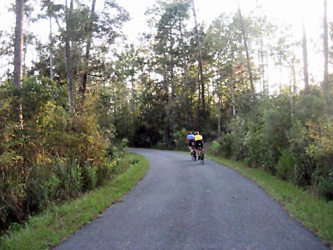
Wakulla Station Trailhead to Capital Circle Trailhead - 9 miles
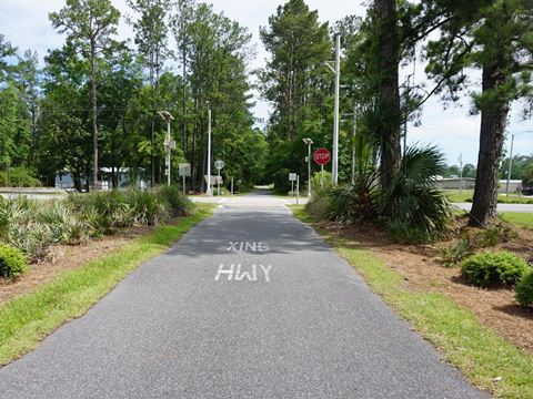
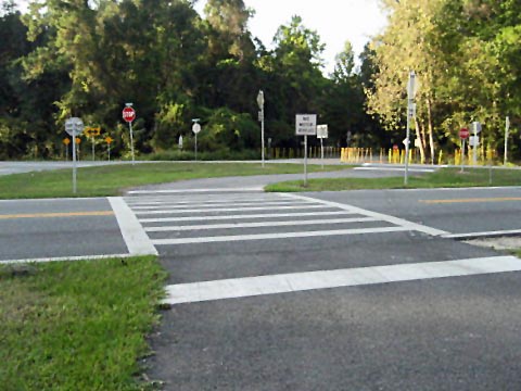
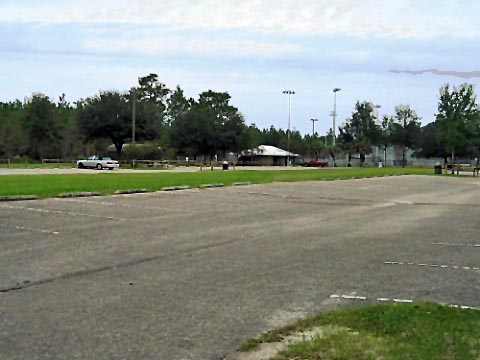
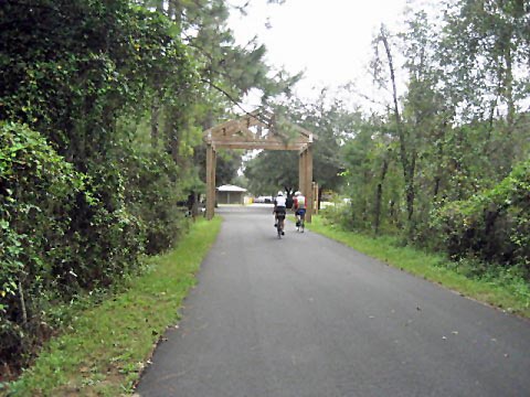
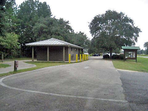
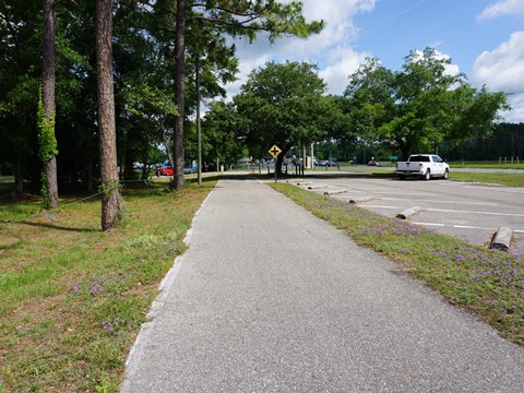
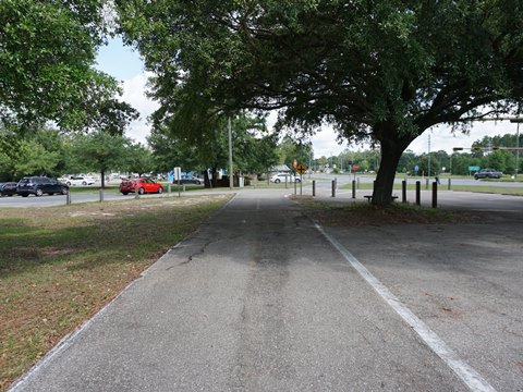
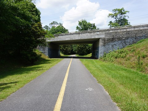
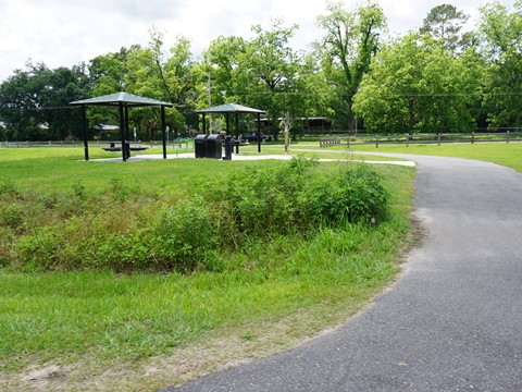
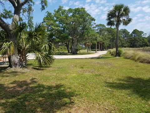
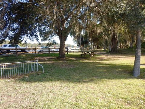
Past Wakulla Trailhead, the trail continues alongside Old Woodville Rd. about 6 miles to J. Lewis Hall Sr. Park and Recreation Complex (Woodville, parking, restrooms, picnic, playground, athletic fields). Just past this trailhead, Old Woodville Rd. feeds into Woodville Hwy. (SR 363) - a busier road - another 3 miles to the Capital Circle Trailhead (the main trailhead - parking, water, restrooms, picnic pavilion). In this section, the trail continues to run roadside, a mostly wide buffer but little shade. You'll pass more crossroads, and last 2-3 miles approaching the trailhead can get crowded so keep aware and exercise good trail etiquette.
Note: Additional biking options from the Capital Circle Trailhead are: (1) Munson Hills Mountain Bike Trails, 7.5 mile loop in the Apalachicola National Forest, and (2) Capital Circle SE Trail (paralleling US 319), 6 mile greenway (see map).
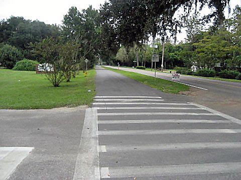
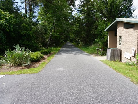
Capital Circle Trailhead to Trail End - 5 miles
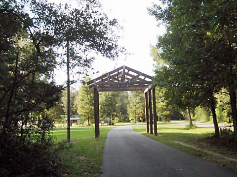
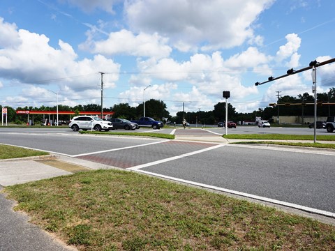
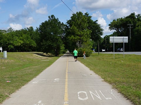
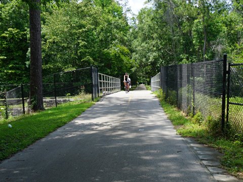
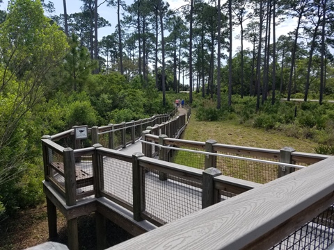
Past the trailhead, the trail crosses Capital Circle SE (US 319) and continues to its end at Gamble St. near Florida State University and Florida A&M University (FAMU). The first 2.4 miles is roadside along Woodville Pkwy. (SR 363) and Crawfordville Rd./Adams St. (SR 61). This section has a wide buffer from the road and some shade, use care at crossroads and business entrances. Then the trail turns off onto an almost totally shaded greenway, continuing 2.2 miles to Tallahassee Junction Park (parking, picnic), then about 0.20 mile to trail end. There are road crossings and residential areas through this section, but generally quiet roads - use normal caution.
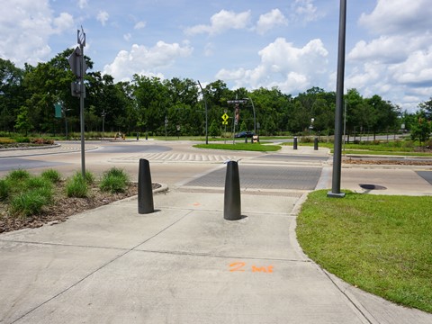
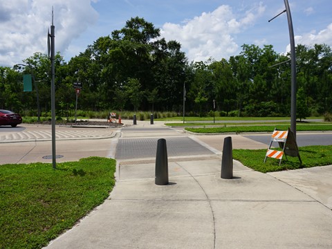
Northern End, Onto Capital Cascades Trail
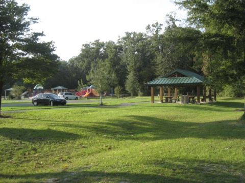
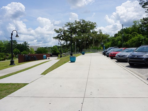
At the northern end, cross FAMU Way to continue on the Capital Cascades Trail, 2.5 miles, About one mile east along FAMU Way is Cascades Park (parking, restrooms, picnic, playground, trails, restaurant, historic exhibits). (See link below for more details.)
Nearby Places of Interest
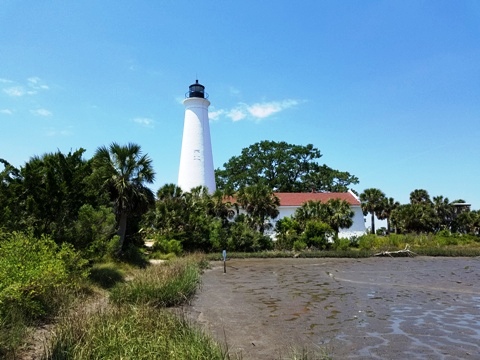
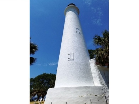
St. Marks Lighthouse
The St. Marks Lighthouse, a National Historic Monument, dates from 1842 (replacing an even earlier one built in 1831). Repaired after damage during the Civil War, it was automated in 1960. The light was removed during extensive restoration work in 2014-19, but was re-lit in October 2018. The Lighthouse is located on Apalachee Bay at the end of Lighthouse Road, about 10 miles south from US 98 - 7 miles past the St. Marks National Wildlife Refuge Visitor Center. A very scenic spot, the grounds are open daily but going inside the lighthouse is limited to tours (small fee) available on certain days (check the calendar ). Climbing the tower is prohibited due to ongoing restoration. The original Fresnel lens and other exhibits are at the museum. Also visit the Lighthouse Levee Trail (bikes allowed) - 1/2 mile with views of the Gulf and marsh impoundments.
More about St. Marks Lighthouse:
US
Fish & Wildlife Service
Friends of St. Marks NWR
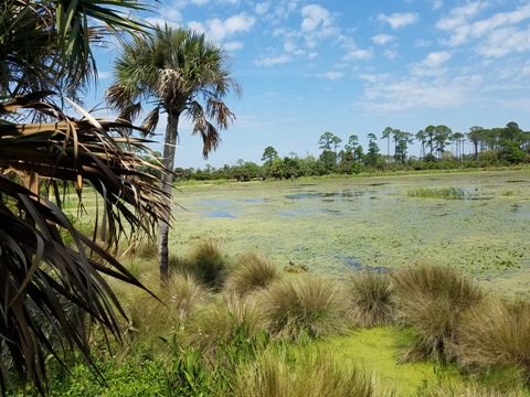
St. Mark's National Wildlife Refuge
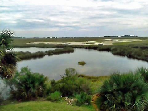
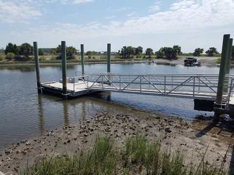
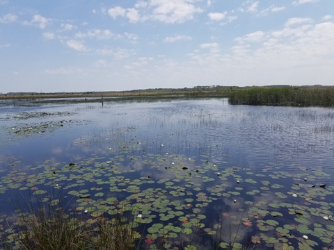
St. Marks National Wildlife Refuge was established in 1931 to provide habitat for migratory birds. In addition to the Lighthouse, the refuge includes a Visitor Center, parking and restrooms. The levees and roads are open to bikes. Other activities include hiking, birdwatching, photography, horseback riding, fishing and hunting. The Florida National Scenic Trail passes through the Refuge. Located at Florida's Big Bend, it also encompasses a portion of the Florida Circumnavigational Paddling Trail.
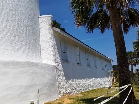
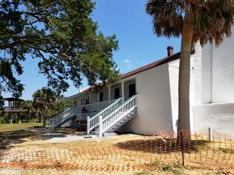
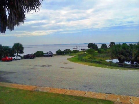
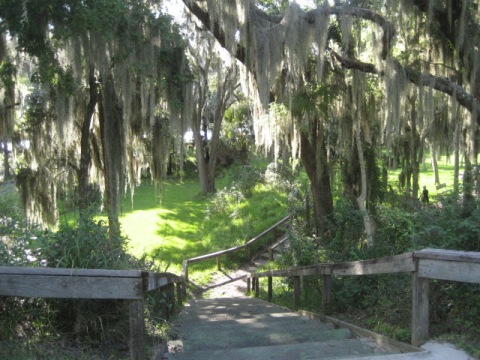
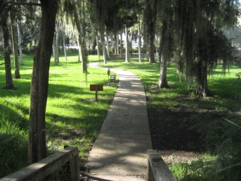
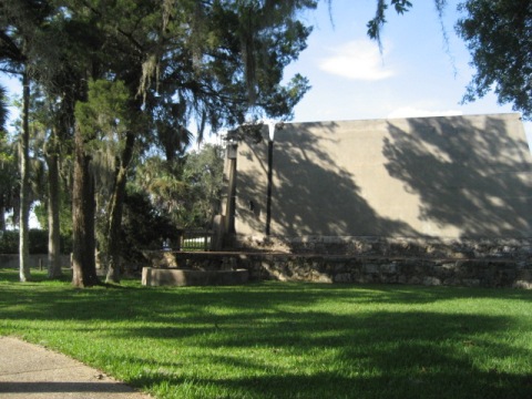
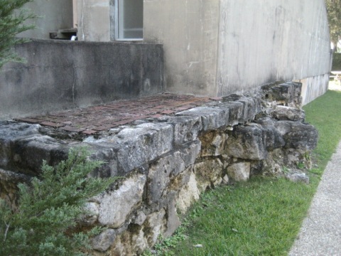
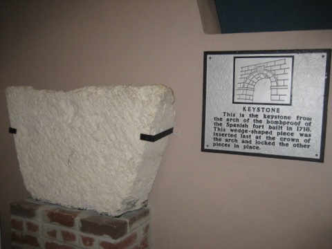
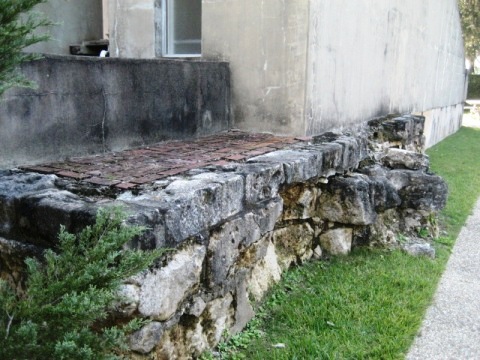
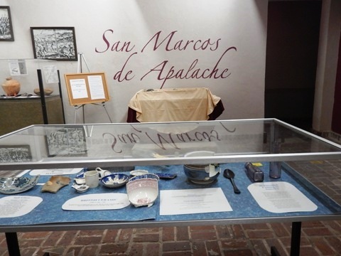
San Marcos de Apalache Historic State Park
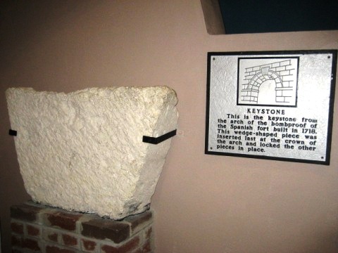
San Marcos de Apalache Historic State Park, a National Historic Monument, is the location of an original 17th century Spanish colonial fort at the junction of the St. Marks and Wakulla Rivers - some remains can be seen. The museum chronicles the history of the area and occupation by Spanish, English, American and Confederate forces at various times. The Park includes parking, restrooms, Visitor Center, picnicking, hiking, fishing, and birding.
More Information and Resources
Nearby Biking:
Capital Cascades Trail
Coastal Trail
Capital City to the Sea Trails - an evolving Regional Trails System
FL Panhandle Region -
More trails plus Regional Overview map
Nearby Paddling:
Wakulla River at www.PaddleFlorida.net
Related Resources:
Florida
State Parks - Tallahassee-St. Marks Historic Railroad State Trail
Visit Tallahassee - St. Marks Trail
Find Trails by FL Region or Listed A - Z

100FloridaTrails.com... 100+ Florida Multi-use Bike Trails, Best for Safe, Fun Recreation and Fitness
Other Websites:
BikeOrlando.net
PaddleFlorida.net
BikeTripper.net
Copyright © 100FloridaTrails.com. All Rights Reserved.