100 Florida Trails®
Top FL Multi-use Bike Trails
Map Links & Photos Galore
Coast-to-Coast Updates
You are here > Home >
Trails >
Florida Keys
Latest update: December 2022
Best Biking in the Florida Keys...
Overseas Heritage Trail... the Safest & Most Scenic Sections to Bike
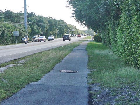
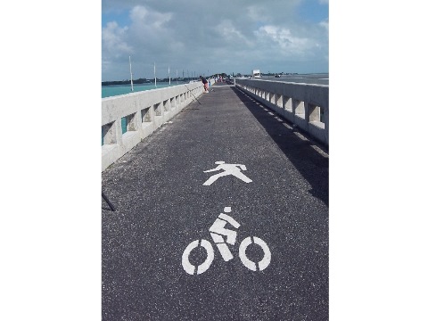
The Florida Keys Overseas Heritage Trail begins in Key Largo at MM 106 and parallels the Overseas Highway (US 1) to MM 0 in historic Key West. As much of a "bike route" as a "bike trail," improvements continue, with over 90 miles now complete. Much is only about 5' wide, and some is still bike lane only. Yet each year, many ride the 106 miles as a 2-4 day trip. However, the average recreational biker would not consider this to be a fun ride, as much is very close to, or even on a busy roadway. The focus of this website is on "safe off-street bike trails" in Florida, so for the thousands of recreational bikers who visit the Keys every year, here we highlight trail sections that we consider to be the safest and best biking option - suitable for all. (Map & photos below)
Map - Bike Florida Keys
Location: Monroe County, FL
End Points: Key Largo (MM 106) to Key West (MM 0)
Mileage: 106 mile route, 90 miles complete
Surface: Asphalt
Support and Advocacy:
Florida Keys History and Discovery Foundation
Historical Preservation Society of the Upper Keys
Florida Keys Wildlife Society
Also visit us on water: Paddling in the Florida Keys
Biking in the Florida Keys... Comments and Photos
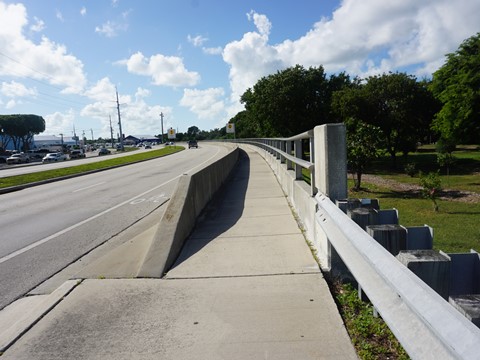
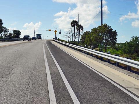
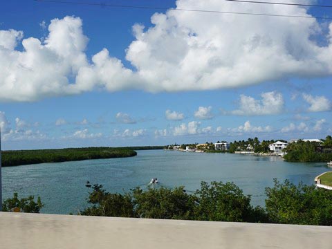
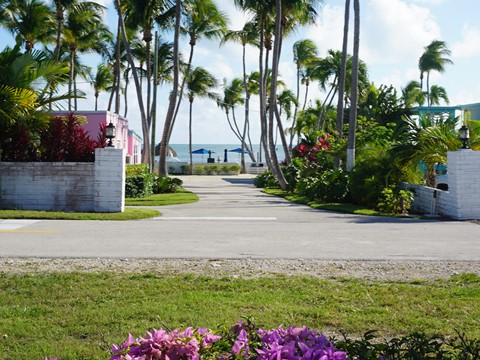
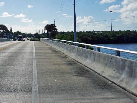
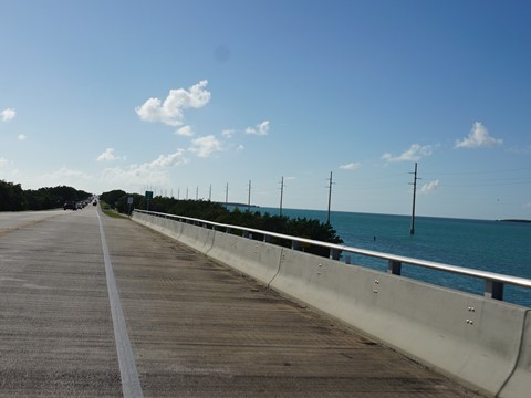
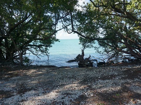
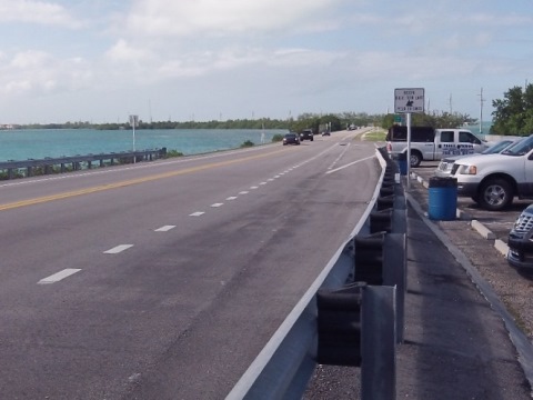
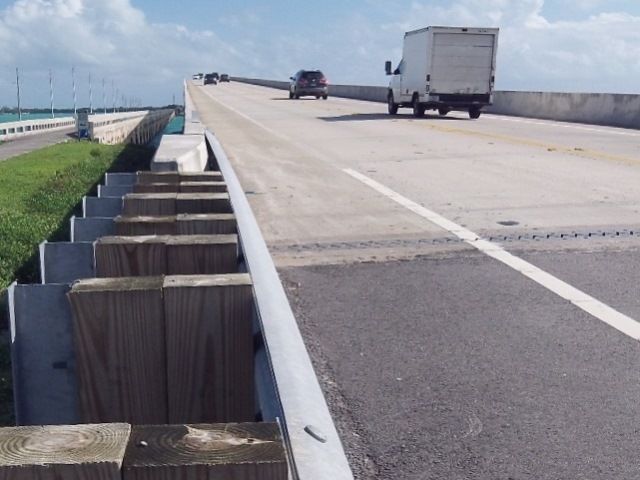
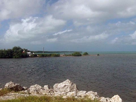
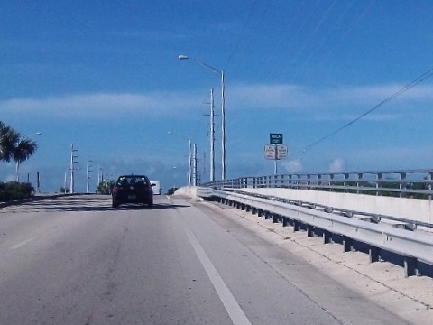
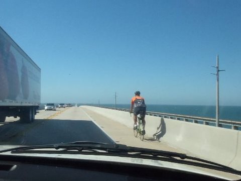
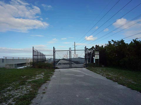
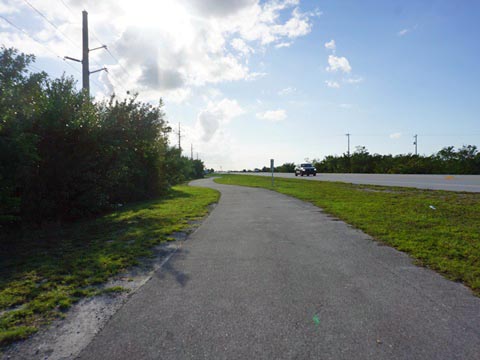
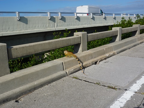
The Florida Keys offer some of the most iconic water views in the world. Recreational bikers can find safe, scenic rides, while avoiding the trail's most dangerous sections. Biking is a great way to explore and maybe discover a few spots uniquely Keys (like our header photo). Along the Overseas Heritage Trail, traffic can be heavy and road noise is a constant. We discourage biking on longer bridges with unprotected bike lanes due to heavy traffic, distracted drivers, and road debris (where flat tires happen). Some original bridge spans have been refurbished and incorporated into the trail, offering safer water view rides (watch for fishermen). Sadly, some are closed from time to time while awaiting repair.
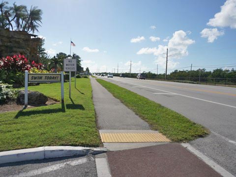
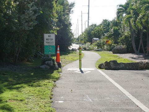
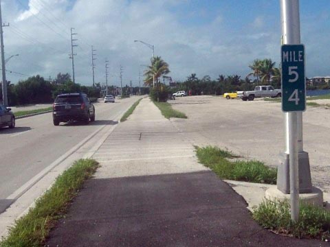
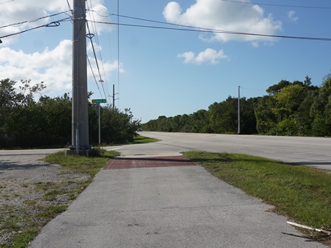
Mile Markers ("MM") are a convenient way to locate FL Keys destinations. We use MM's to pinpoint the best biking sections. Think safety; wear a helmet and bright clothing. Much has been written on visiting the Florida Keys, so near the bottom of page, you'll find links to resources that we've found to be especially useful, including a State Park link reporting the most recent closures. Side Note: this trail is also part of a larger effort called the "East Coast Greenway," which will link bike trails from Key West, Florida all the way to the Maine/Canada border.
Biking in the Upper Keys
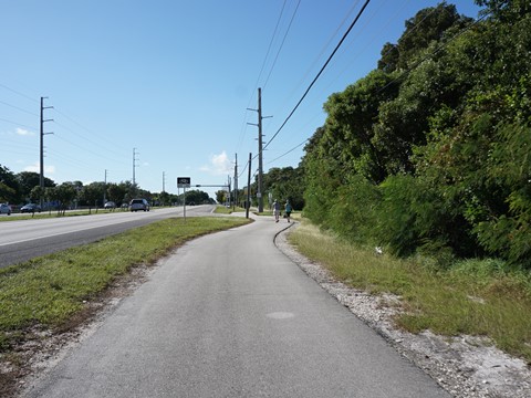
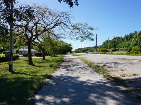
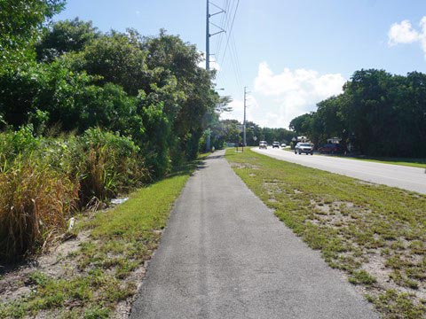
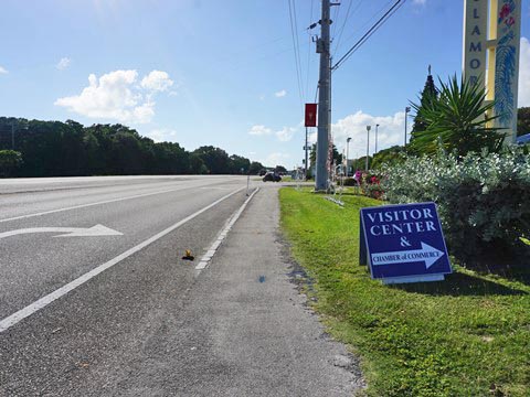
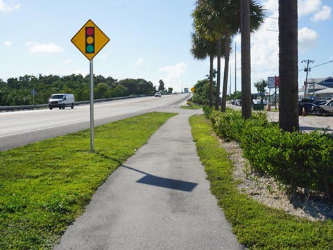
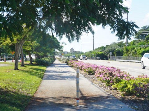
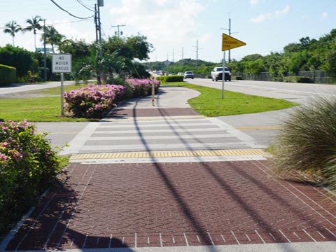
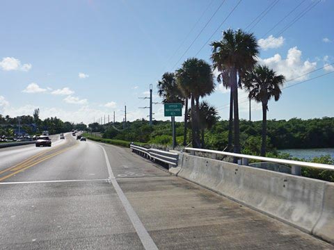
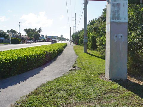
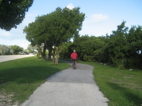
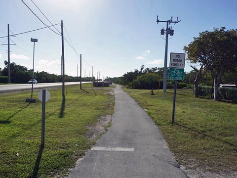
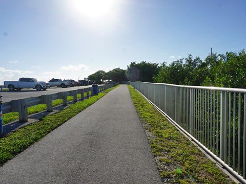
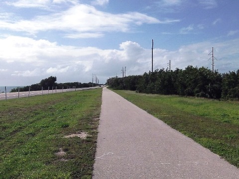
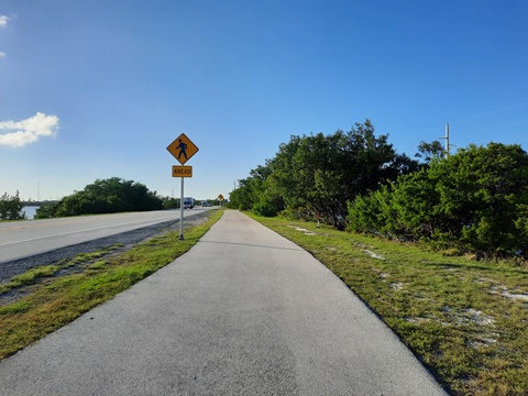
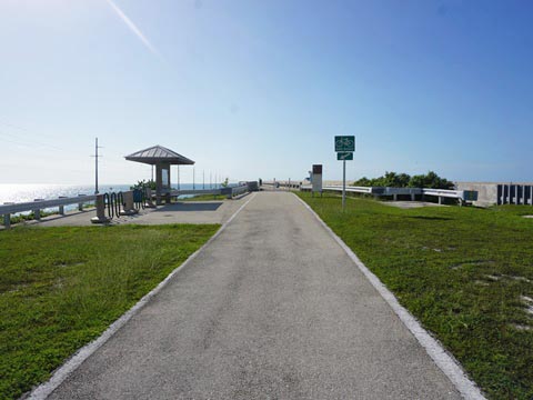
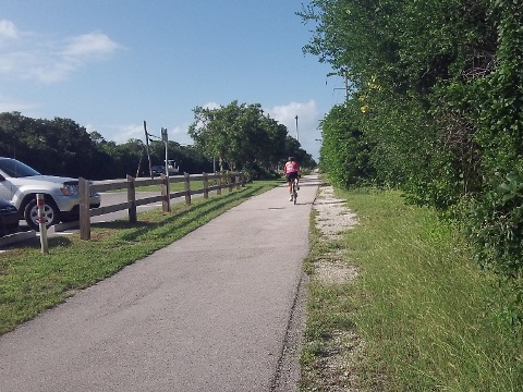
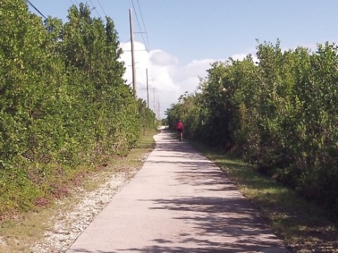
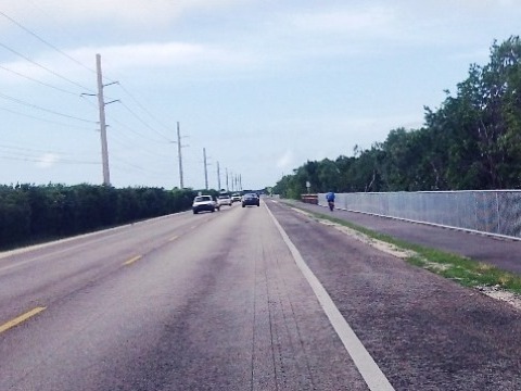
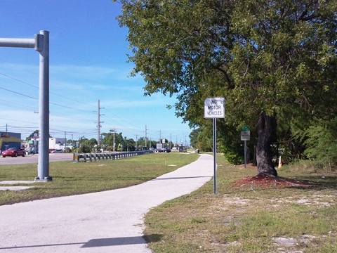
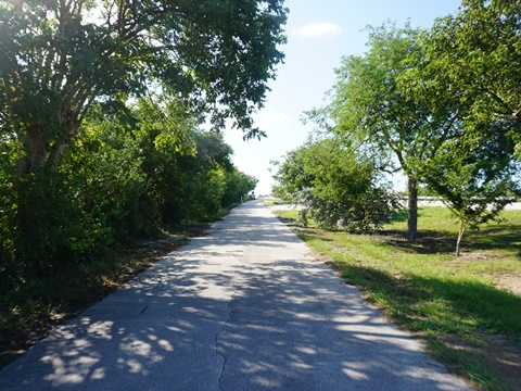
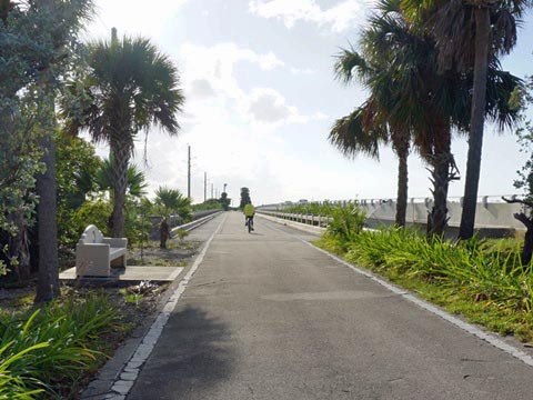
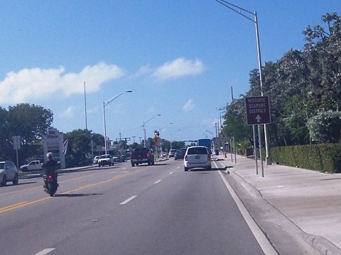
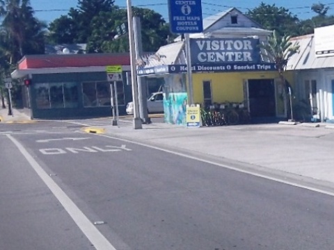
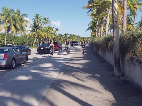
The Upper Keys start on Key Largo at MM 107.2, extend through Islamorada, and end over the Channel 5 bridge (MM 71) just past Lower Matecumbe Key. The Overseas Heritage Trail officially begins at MM 106 by the Keys Visitors Center (parking, restrooms). The longest section of 10' wide multi-use trail in the Florida Keys begins here, some comfortably away from the roadway separated by a grass buffer, some close to the road shoulder with little buffer.
Bike Shops/Rentals/Tours:
All Keys Cycles (Key Largo, MM 103.4;
rentals, sales, service)
Backcountry Cowboy Outfitters (Islamorada, MM 82.2;
rentals, sales, service)
Island of Key Largo
The Island of Key Largo is the largest single island in the Florida Keys. It includes the towns of North Key Largo, Key Largo, and Tavernier. Popular for diving and snorkeling, Key Largo is known as the "Dive Capital of the World."
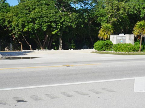
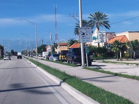
Key Largo to Tavernier (MM 106 to MM 93.5)
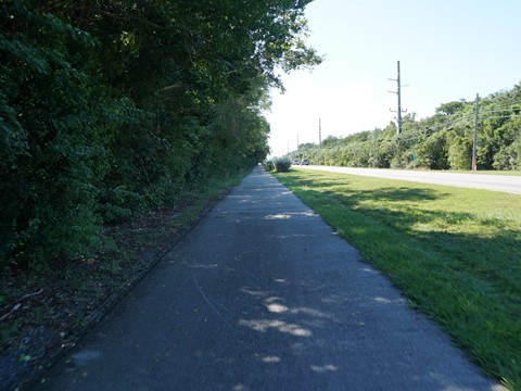
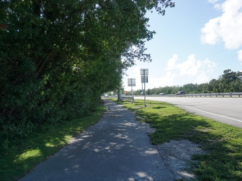
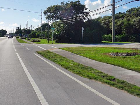
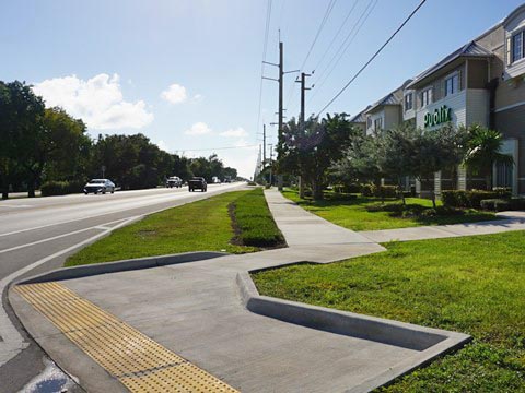
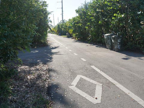
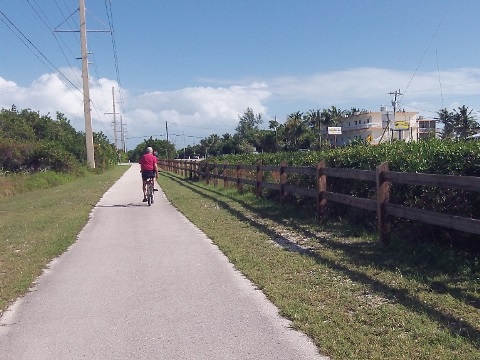
The first 12.5 miles get mixed reviews. It's the longest continuous stretch of 10' wide multi-use trail in the Florida Keys. On the down side, it is not a scenic ride. From the Visitor Center (MM 106), the trail runs south on the west side of US 1, crossing many business entrances. John Pennekamp Coral Reef State Park is across the road at MM 102.5. Continuing south, we found MM 99.5 to 93.5 to be the most enjoyable biking in this section. Near MM 99.5 (Atlantic Ave.), the trail crosses southbound US 1 and continues along a wide road median for about 3 miles, with fewer driveways and some natural areas. The 10' trail then crosses northbound US 1 and continues another 3 miles into Tavernier.

Tavernier to Islamorada
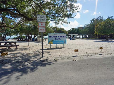
Just before entering Tavernier (MM 93), the trail narrows to 4-5 feet and runs close to the highway. At Burton Drive (MM 92.6), a bike lane leads to Harry Harris Beach and Park (1.25 miles; beach, picnic, playground, boat ramp). Then at Ocean Blvd., the trail again crosses the highway and continues roadside to a short bridge over Tavernier Creek (MM 90.8, separated bike/pedestrian span). Crossing the bridge, you enter onto Plantation Key, part of the Islamorada "Village of Islands."
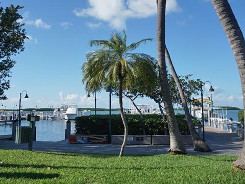
Islamorada "Village of Islands"
The Islamorada Village of Islands is made up of 6 islands - Plantation Key, Windley Key, Upper Matecumbe Key, Tea Table Key, Indian Key, and Lower Matecumbe Key. Sport fishing is big here. Heading south thought the Village of Islands, water views become more frequent, giving the trail a more "uniquely Keys" feel.
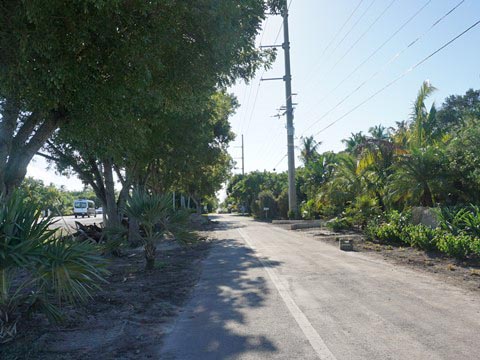
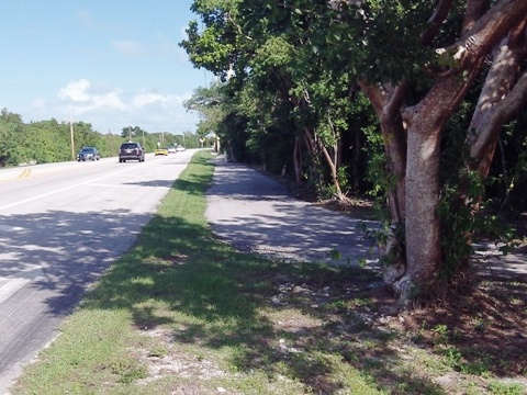
Old US 1 (MM 90 to MM 80, Alternate Route)
Bikers seeking a respite from the traffic noise along the main trail may want to consider this alternate route. A section of old US 1 (now SR 4A, a portion known as "millionaire's row") runs ocean side parallel to busy US 1. Here the ride is bike lane only. However, this is a low-traffic, heavily wooded residential area, so it's quieter and more scenic, some shade at times, but only an occasional water view. The old road rejoins the main highway at two short bridges, both bike lane only. These bridges are short enough that some would feel safe biking or walking across. If so, we suggest walking to enjoy the view and to avoid road debris. One downside of biking this section is that visitors will bypass some interesting parks and museums (several mentioned below).
Plantation Key
Plantation Key runs from the Tavernier Creek bridge (MM 90.8) to Snake Creek Drawbridge (MM 85.5). The trail along US 1 is 4'-5', always close to the road, and the drawbridge (one of the last in the Keys) is bike lane only.
Featured in this area: Islamorada Visitor Center by Founders Park (MM 87), and FIU Aquarius Reef Base (Research Center).

Windley Key
Windley Key runs from the Snake Creek Drawbridge (MM 85.5) to Whale Creek Channel (MM 84.2). Here the bike trail runs slightly wider in spots, but also some bike lane only. The short bridge over Whale Creek Channel is bike lane only.
Featured in this area: Windley Key Fossil Reef Geological State Park and the Theater of the Sea (marine animal park, "Swim with Dolphins").
Upper Matecumbe Key
Upper Matecumbe Key runs from Whale Creek Channel(MM 84.2) to Tea Table Channel (MM 79). The trail here is both off-the-roadway and bike lane only. Some manicured parts, but it's a busier section with hotels and resorts, shops, restaurants, etc. Crossing Tea Table Relief Channel to Tea Table is bike lane only.
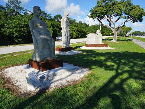
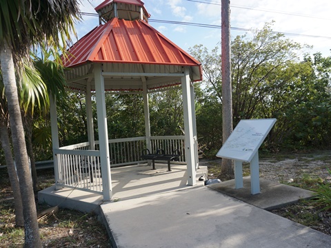
Features include: History of Diving Museum (MM 83), Florida Keys History and Discovery Center (MM 82), the 1935 Hurricane Memorial (MM 81), and Morada Way Art and Culture District (MM 81). A sculpture exhibit entitled "Fragments" is at a trailside park (MM 80.2), a part of the Florida Keys Sculpture Trail which runs from the Upper Keys to Key West.
Tea Table Channel - Indian Key Causeway
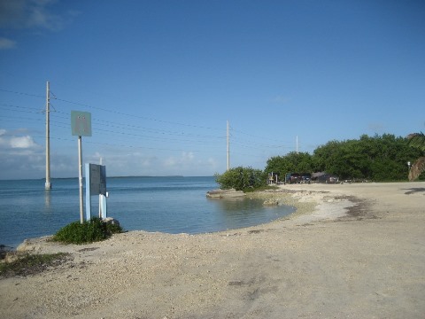
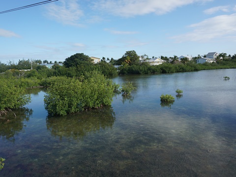
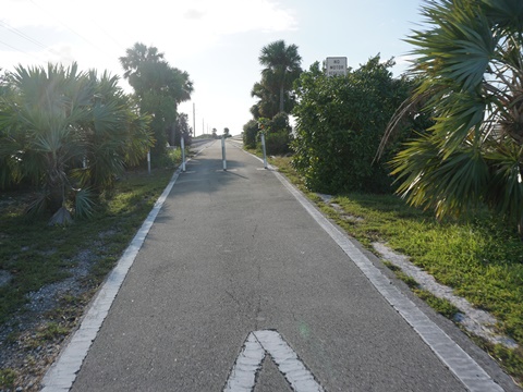
From Tea Table Channel (MM 79) over Indian Key Channel (MM 78.5, bike lane only) to Lignumvitae Channel (MM 78) is a long causeway, including a land link to Tea Table Key (past the offshore islands of Indian Key and Lignumvitae Key). Along the Indian Key Causeway the trail runs away from the road - with some shade in parts - through an area popular for fishing, with ample parking, public boat ramp, easy kayak/canoe launching.
Featured here and accessible only by water are: Lignumvitae Key Botanical State Park, San Pedro Underwater Archaeological Preserve, and Indian Key Historic State Park.
Lower Matecumbe Key
Lower Matecumbe Key runs from Lignumvitae Channel (MM 77.9) to Channel #2 (MM 73). Check out MM 77.5 to MM 72 for biking with some good water views. Here a stretch runs on Old US 1, partly dedicated bike lane and partly shared with residents accessing their driveways, with no through traffic. Past here, the trail continues beside the road with a wide median. Approaching Channel 2 is a parking area and shaded park with an historical marker*. The old Channel 2 bridge is popular for fishing and provides a safe span for biking across the channel to Craig Key.
Featured in this section: Boy Scouts Sea Base (MM 73.6) and Anne's Beach (MM 73.4)
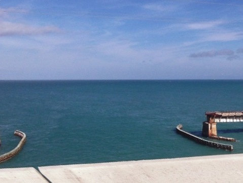
* The remains of 8 pilings are offshore. The plaque speaks of the World War I Veterans who were brought here in 1935 (part of a Depression work program) to build a bridge filling a gap along the Overseas Highway, and of the 1935 Great Labor Day Hurricane that destroyed the unfinished bridge. The pilings remain as a memorial to those who lost their lives. The location of the camp built to house the workers is now the Boy Scout Sea Base. More details for history buffs .

Channel 2 and Channel 5
Channel 2 bridge (MM 73) features a dedicated biking/hiking/fishing span, crossing onto Craig Key (MM 71.8). The trail on Craig Key causeway runs beside the road with a wide median.
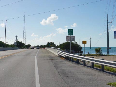
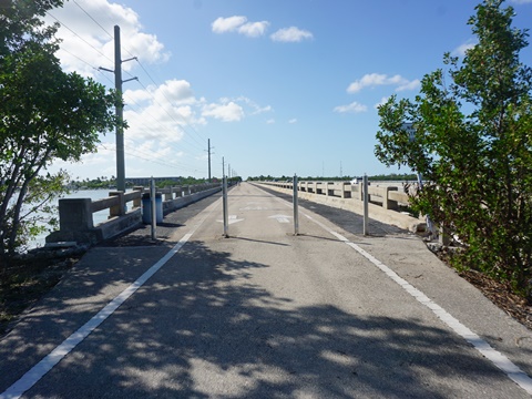
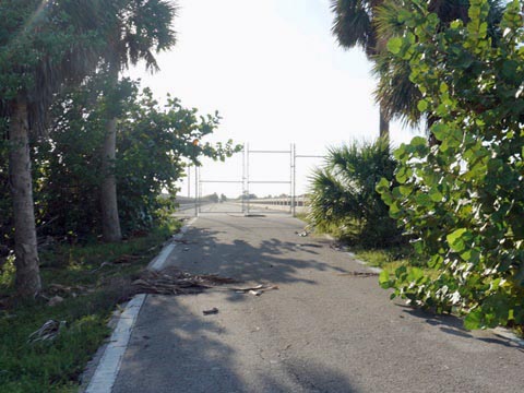
Over the Channel 5 bridge (MM 71) is bike lane only. On the west side of the bridge (on Long Key), a section of the old bridge extends about 4/10 mile for fishing, biking, or hiking.
Biking in the Middle Keys
The Middle Keys begin at MM 71, just across the Channel 5 bridge on Long Key and ends at the south end of the 7-Mile Bridge (MM 47). Included are Long Key, Conch Key, Duck Key, Vaca Key, Grassy Key, Crawl Key, Long Point Key, Fat Deer Key, and Boot Key.
Bike Shops/Rentals:
Bike Marathon Bike Rental
(Marathon)
Wheels-2-Go (Marathon)
Channel 5 to Tom's Harbor Channel
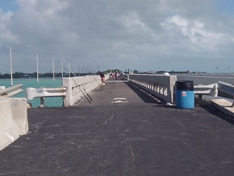
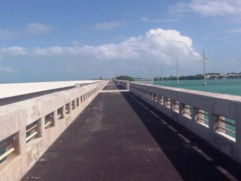
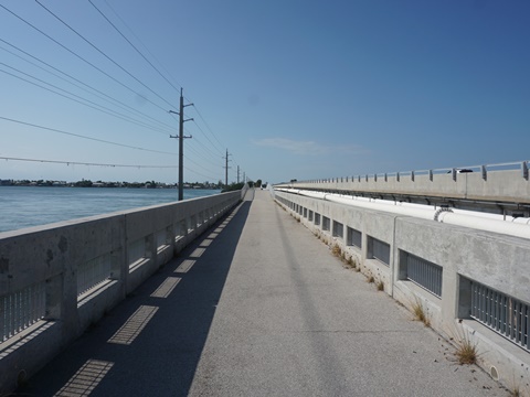
The Long Key Bridge is the second longest in the Keys. The old span (MM 65 - MM 67) is now dedicated for biking, hiking, and fishing.
From the end of Channel 5 bridge, the trail continues on Long Key, through the City of Layton and past Long Key State Park (MM 67.5). Separate biking/hiking/fishing spans are assets at 3 bridges: Long Key Channel (MM 65), across Conch Key to Tom's Harbor Cut (MM 61.2), past Duck Key to Tom's Harbor Channel (MM 60).
Featured in this section: Long Key State Park (MM 67.5).
Grassy Key
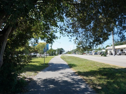
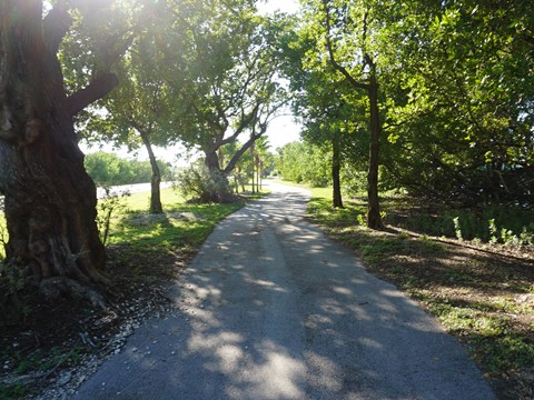
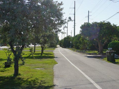
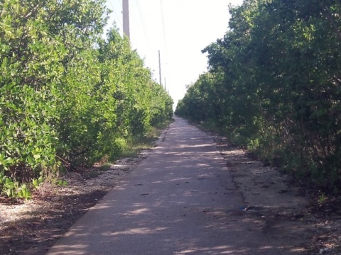
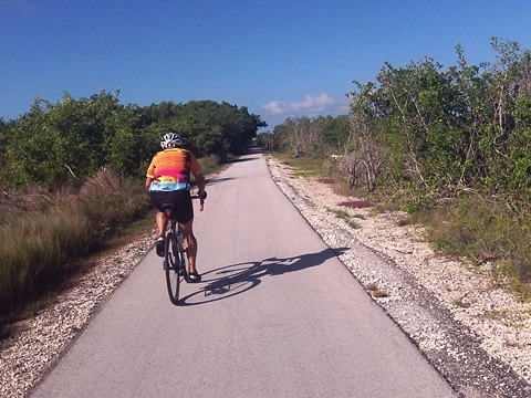
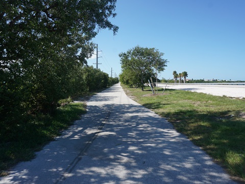
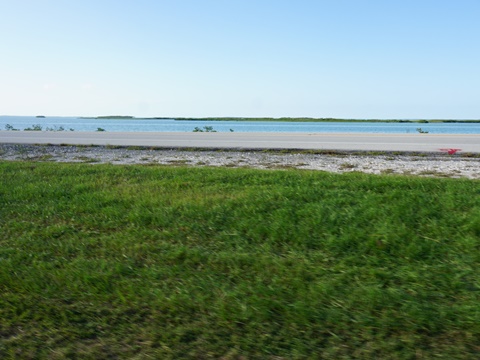
A very nice ride is the "Grassy Key Trail" section from about MM 58-55 through Curry Hammock State Park (bayside). Parking is available at the trailhead (MM 55), which also serves a nature trail at the State Park. The bike trail is away from the road along a powerline, with mangrove forest on both sides, nicely sheltered from the wind (can be buggy at times). Views of tidal flats and some quarry ponds, plus some low-traffic side streets can be explored. This ride can be extend south through Marathon, but more traffic noise and driveway crossings.
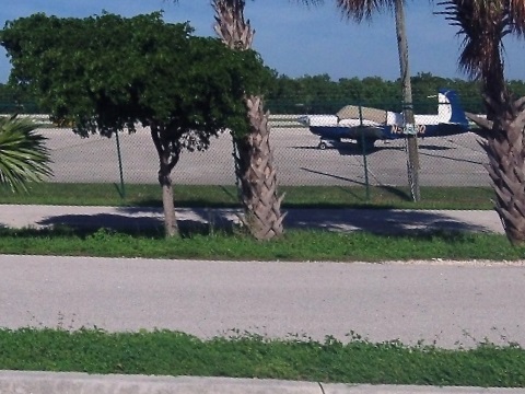
Features include: Dolphin Research Center (MM 59), Curry Hammock State Park (MM 56), EAA Aviation Museum (MM 52), Sombrero Beach (MM 50), The Turtle Hospital (MM 48.5).
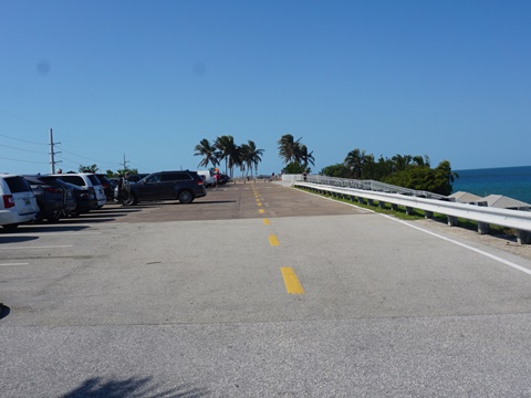
City of Marathon
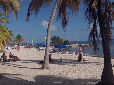
The City of Marathon is spread out over Vaca Key, Grassy Key, Crawl Key, Long Point Key, Fat Deer Key, Boot Key, and Knight's Key. Crossing Vaca Cut (MM 53.1), the central business district at Vaca Key runs from MM 53 to MM 47.5. At MM 50, a separate bike path goes east to Sombrero Beach, one of the nicest beaches in the Keys.
Featured in this area: Florida Keys Aquarium Adventure (MM 53), Marathon County Airport and EAA Aviation Museum (MM 52), Sombrero Beach (MM 50), The Turtle Hospital (MM 48.5).

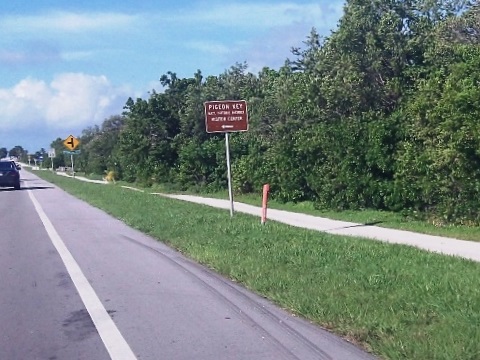
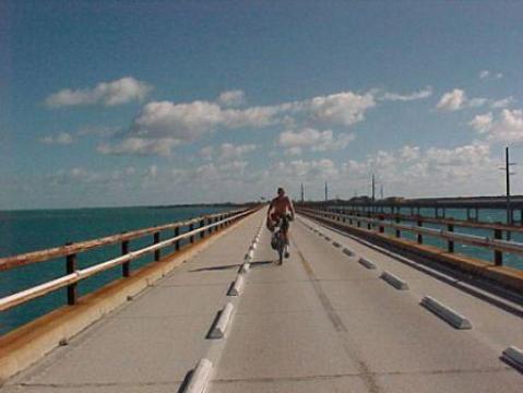
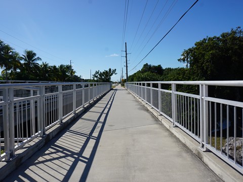
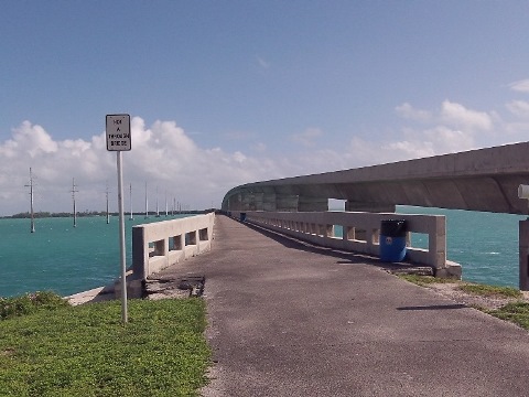
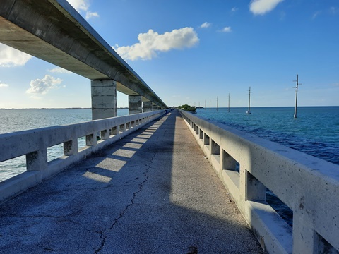
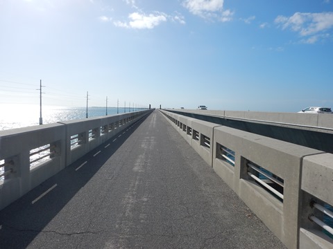
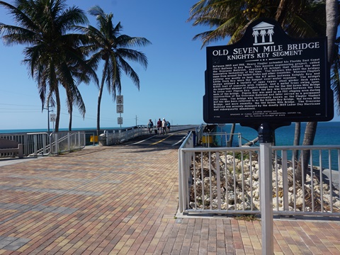
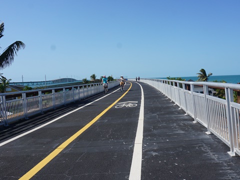
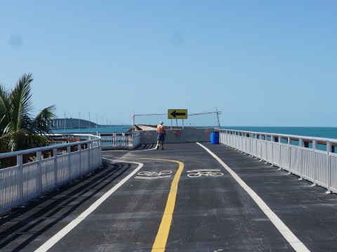
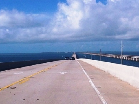
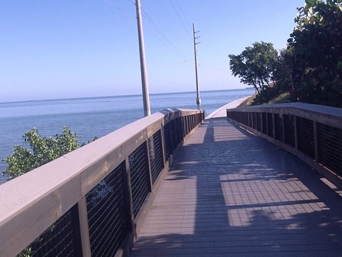
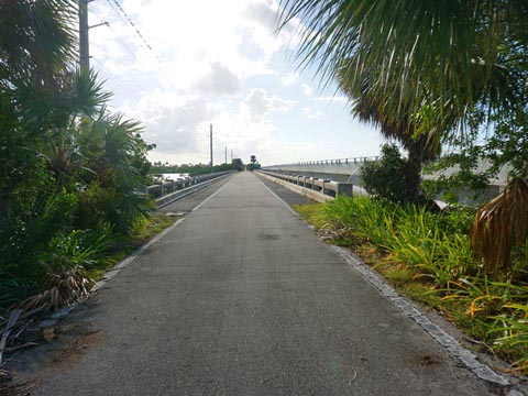
Pigeon Key via Old Seven-Mile Bridge (highly recommended)
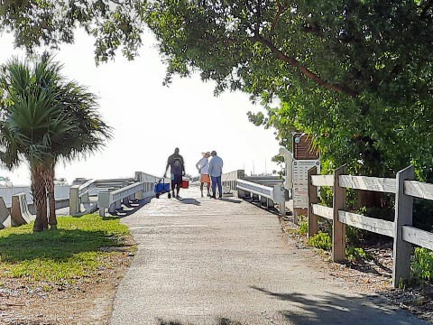
Located just before the new Seven-Mile Bridge, the historic Pigeon Key bridge span (beginning at MM 47) is a 2-mile section of the Old Seven-Mile Bridge repurposed for bikes and pedestrians (and now a tram). While only 4 miles round-trip, this is some of the most scenic biking in the Florida Keys and a popular gathering spot for sunsets. The original bridge (1912) was part of Flagler's railroad and Pigeon Key was a construction camp during construction. Today, it's a museum and can be accessed by ramp from the old bridge. Both the old bridge span and Pigeon Key are listed on the National Historic Register.
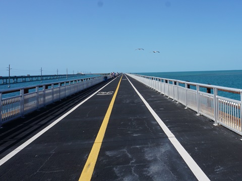
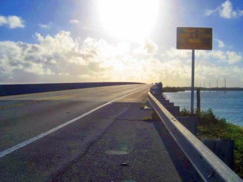
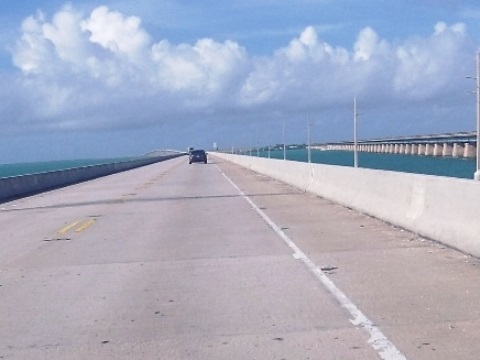
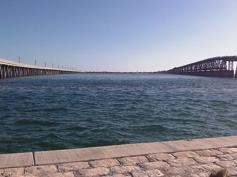
New Seven-Mile Bridge
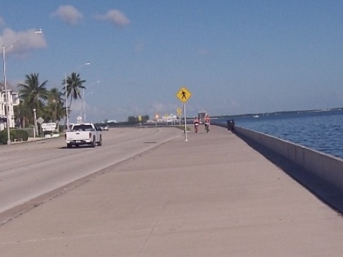
The new Seven-Mile Bridge replaced the old bridge in the 1980's. The longest bridge in the Keys at 6.8 miles, crossing is bike lane only. The lane is narrow, we don't recommended biking it if alternate transportation is available due to heavy traffic, wind, and road debris.
Biking in the Lower Keys
The Lower Keys begin at the south end of the 7-Mile Bridge at MM 47 and end at MM 0 in historic Key West. The Lower Keys are comprised of Little Duck Key, Missouri Key, Ohio Key, Bahia Honda Key, Spanish Harbor Keys, West Summerland Key (Scout Key), No Name Key, Big Pine Key, Little Torch Key, Middle Torch Key, Big Torch Key, Ramrod Key, Summerland Key, Knockemdown Key, Cudjoe Key, Sugarloaf Key, Park Key, Lower Sugarloaf Key, Saddlebunch Keys, Shark Key, Geiger Key, Big Coppitt Key, East Rockland Key, Rockland Key, Boca Chica Key, Key Haven, Stock Island, Key West, Sigsbee Park, and Fleming Key.
Nearby points of interest: Bahia Honda State Park (Bahia Honda Key, MM 37), Key Deer National Wildlife Refuge (Big Pine Key, MM 30.3), Key West (historic district, MM 0)
Bike Shops/Rentals:
Big Pine Bicycle Center (Big Pine Key)
Bahia Honda to Big Pine Key
Initially the trail in the Lower Keys continues close to the roadway and in some places cyclists must share the road. We took a short side trip at Scout Key, a loop trail runs under US 1 with good views of the old Bahia Honda Bridge. At Big Pine Key, we went off trail to ride around town and encountered a key deer!

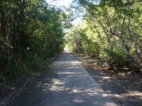
Summerland Key to Upper Sugarloaf Key
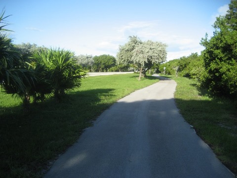
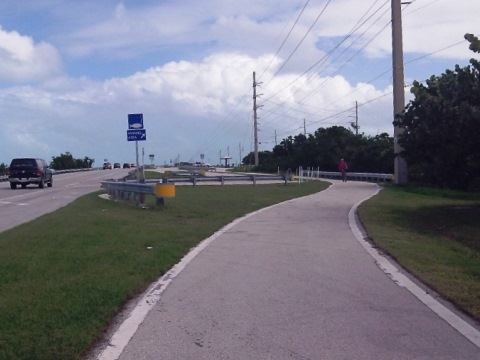
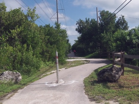
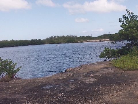
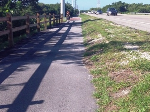
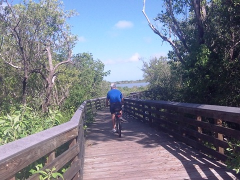
This is a nice ride (MM 25 to MM 20) featuring sections of Old US 1 (SR 4a) on Summerland and Cudjoe Keys that in our opinion stand out as among the safest and most scenic sections along the entire Overseas Heritage Trail. These sections are completely separate from US 1, running through natural area, with boardwalks, safe bridges, beautiful water views of tidal flats, and some shelter from the wind.
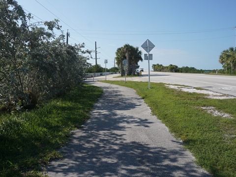
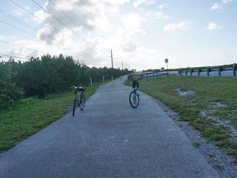
The route runs from Summerland Key, across the Kemp Channel Bridge, through Cudjoe Key, and across the Bow Channel Bridge to Upper Sugarloaf Key. The downside: crossing US 1 four times - there are crosswalks but no crossing lights, be careful. At about MM 25, cross US 1 to the Summerland Trail that runs one mile on Old US 1 to a boardwalk back to US 1. Cross the road and go over the Kemp Channel Bridge to Cudjoe Key (1 mile). Cross US 1 again onto the Cudjoe Trail, 2.3 miles on Old US 1. This section does have some road crossings (none busy,) but it's unique for the Keys in having shaded sections, sheltered from the wind. Cross US 1 again and proceed one half mile to Bow Channel, and over the bridge onto Upper Sugarloaf Key. Just past MM20, the trail ends and a bike lane along US 1 begins.
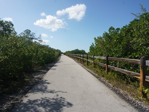

Saddlebunch Keys
The Saddlebunch Keys are a cluster of keys connected by bridges (and some by water only) with many scenic water views. The trail here includes some bike lanes on the road. The separate bridge spans in this section were welcome along the busy road.
Lower Sugarloaf Channel to Shark Channel
The section from MM 15 to MM 11 included four bridges (Saddlebunch #2, #3, #4 and #5) open for bikers (and fishermen). Two bridges, at either end of this section, were closed at this time. This is a scenic ride but all roadside with constant traffic noise. Bikers are completely exposed to the wind, which in the Keys tends to be strong and steady. Thus on a typical round-trip ride, biking in one direction will be ultra-easy, while the opposite direction will be a workout. Plan accordingly.
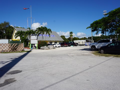
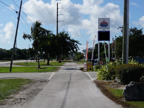
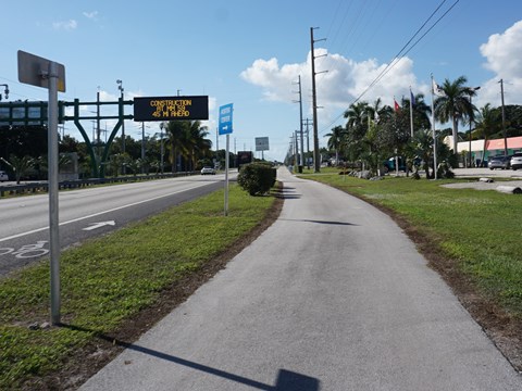
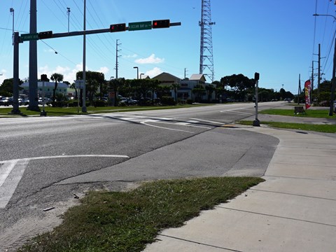
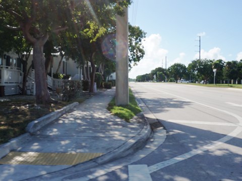
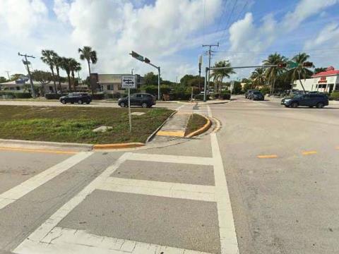
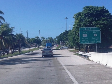
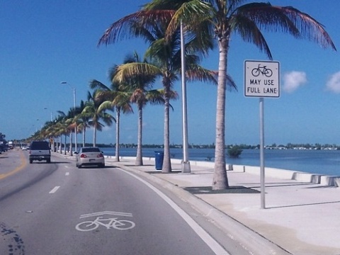
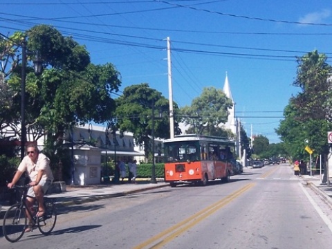
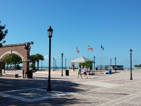
Biking in Key West
The Overseas Highway ends at MM 0 in Key West. Officially, the Overseas Heritage Trail continues into Key West to the right, along the north side of the Island (US Hwy 1). However, the widest bike path into Key West is to the left, between the water and Hwy A1A, along the south side of the Island (much less traffic, see map). The bike trail goes by the airport and ends just past Smathers Beach, the largest white sand beach in the Keys.
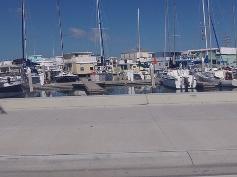
Nearby points of interest: Fort Jefferson, Dry Tortugas National Park, Ernest Hemingway Home and Museum, Harry Truman Little White House, Key West Cemetery, Old Town, Historic Seaport District, Key West National Marine Sanctuary
Additional Resources:
Monroe County - Key West
Information
Bike Shops/Rentals:
Eaton Bikes
Island Bicycles
Key West Biking Map
Key West... Trail on North Side (beside US 1)
Central Historic District
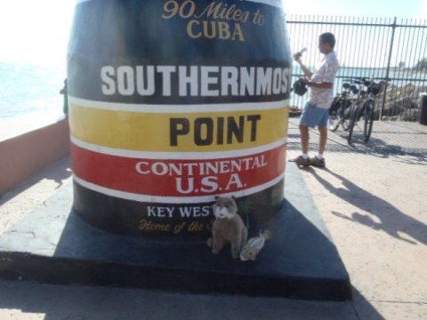
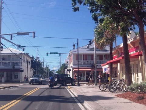
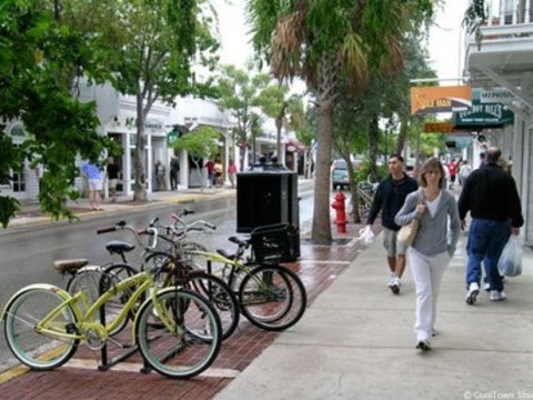
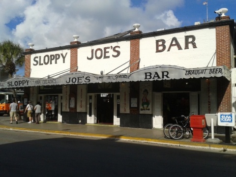
In Old Town Key West, the narrow streets and slow traffic make bicycling (*carefully) a good way to get around - visit Mallory Square, Duval Street, the Southernmost Point and more, including shopping, dining, fishing, and snorkeling. Some enjoy the week-long celebration of Conch Republic Independence Day (April 23) each year.
More Information and Resources
Find Trails by FL Region or Listed A - Z

100FloridaTrails.com... 100+ Florida Multi-use Bike Trails, Best for Safe, Fun Recreation and Fitness
Other Websites:
BikeOrlando.net
PaddleFlorida.net
BikeTripper.net
Copyright © 100FloridaTrails.com. All Rights Reserved.