100 Florida Trails®
Top FL Multi-use Bike Trails
Map Links & Photos Galore
Coast-to-Coast Updates
You are here >
Home >
Trails >
North Florida >
Cedar Key
Latest update: October 2020
Cedar Key, FL... by Bicycle
Small Town Bike Ride in Old Florida... E-Z Google Map, 60+ Photos
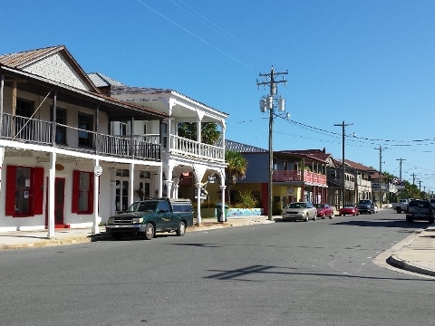
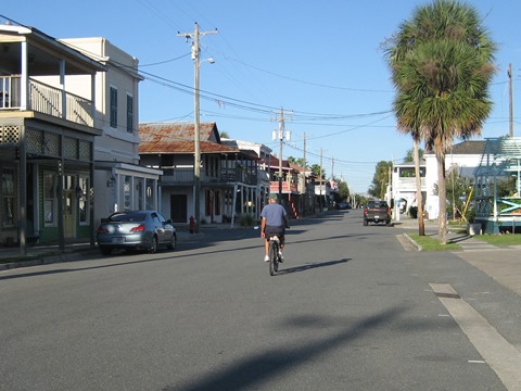
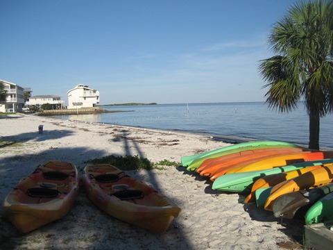
Cedar Key is our favorite small town to bike. Listed on the National Historic Site Register, Cedar Key is what Key West was 75 years ago - a step back into Old Florida. The entire town (3 keys) makes for a great ride, about 13 miles total if you bike the circumference of the 3 connecting keys and take in some interesting side streets. Plus, there are some short, scenic hikes. But biking and hiking is just part of the allure. Rent a kayak, try some fishing, or just relax. This is an out-of-the-way place, so much so that most Floridians have probably never been here. It's very laid back, one of a kind, and we love it. (Map link and photos below)
Location: Levy County. The heart of the Cedar Keys,
Cedar Key is located 50 miles southwest of Gainesville, 3 hours
north of Tampa, and 3 hours west of Jacksonville.
Mileage: Various
End Points: While there is no specified bike
trail, the entire town is good for biking.
Surface: Mostly paved
Nearby points of interest:
Cedar Keys National Wildlife Refuge, Lower Suwannee National
Wildlife Refuge, Atsena Otie Key, Shell Mound archaeological site,
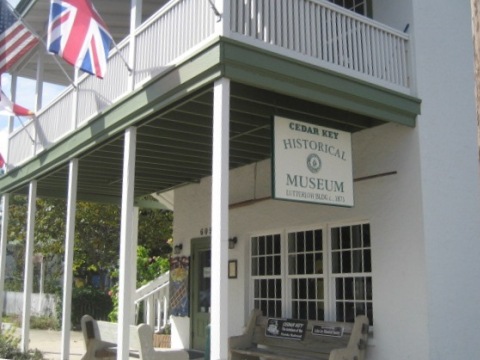
Cedar Key Historical Museum, Cedar Key Museum State Park
Bike Shops/Rentals
Support and Advocacy
Friends of the Lower Suwannee and Cedar Keys National Wildlife Refuges
Page Summary:
- Biking at Cedar Key
- Old Main St. (2nd St.)
- Dock St.
- Along the Causeway (SR 24)
- G Street
- Airport - Historic Places of Interest
- Then and Now
- Changes over the years - More Information and Resources
Biking at Cedar Key, Florida... Comments and Photos
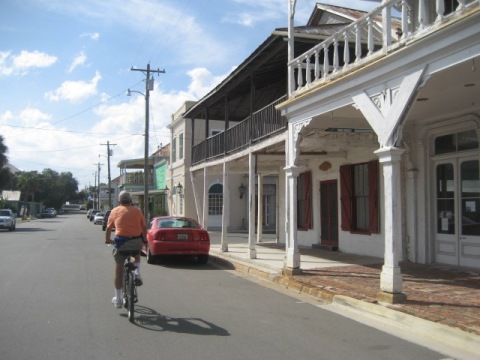
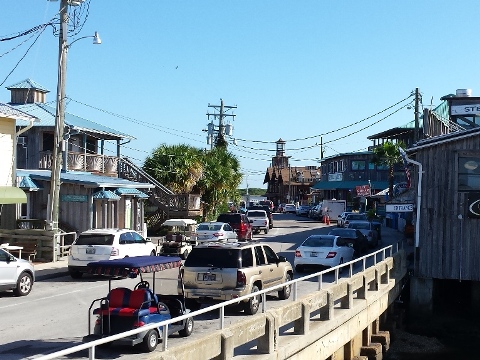
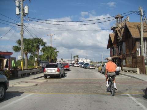
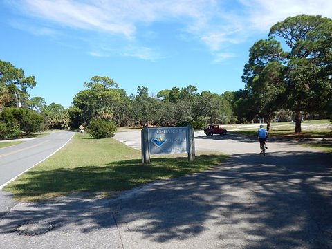
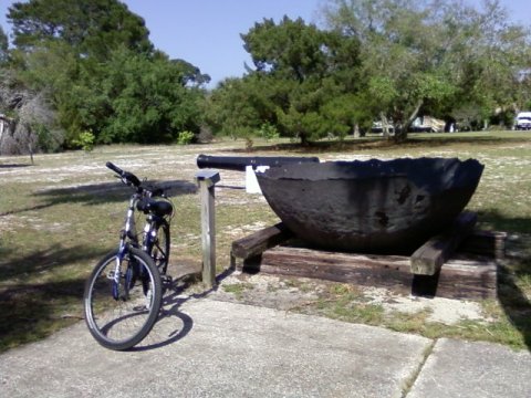
When you're on Cedar Key and there's sunshine, you won't need a car. Other than a sidewalk/bike path along a portion of the causeway into town, and a couple on Way Key leading to the Airport and Museum State Park, this is street biking. But no worries, as things move slowly here. Bikes (and golf carts) are part of the culture. Many locals bike to work. Some motels keep an assortment of old beach cruisers for the use of their guests. Most people don't bother locking their bikes, but if you have a nice one, we recommend doing so.
Note: Distances given are all measured from the Cedar Key Historical Museum, corner of D and 2nd Streets.
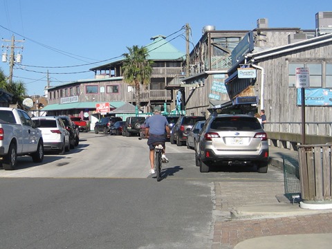
Old Main Street (2nd Street)
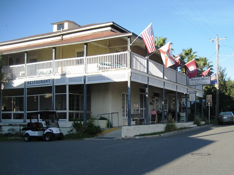
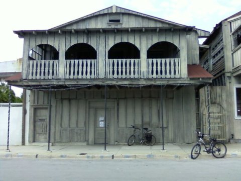
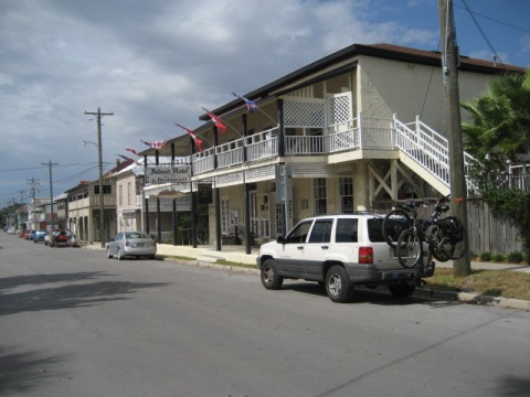
Slow down and look around... check out the Island Hotel (1859) bar and lobby. Restaurants, galleries, gift shops, museum. Many original buildings.
Dock Street
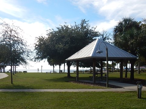
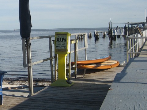
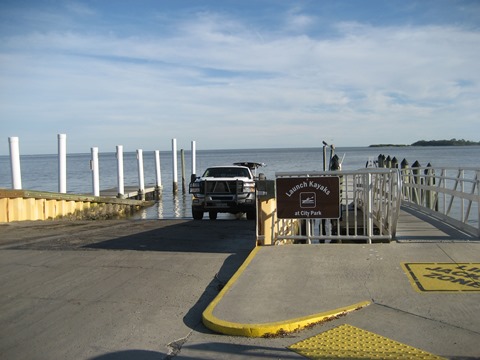
Shops, restaurants, accommodations, fishing pier (watch out for the pelicans). City beach and park, marina, boat ramp and kayak launch are on the east end of the street.
Along the Causeway (Rt. 24)
The only road in and out of town - 21 miles to US 19. Motels, restaurants, boat ramp/launch. Clam farms grew as a new industry after Florida outlawed gill nets in 1995.
G Street
Gulfside on west side of the island - great sunset views! Homes, motels. G Street is the only connector to other keys - to reach the airport, cemetery and museum state park (below).
Airport
About 1.4 miles from downtown, from the end of G Street follow Whiddon Ave. to Gulf Blvd. to Airport Road to the George T. Lewis Airport (KCDK). A road runs around the runway, residential area adjacent.
Historic Places of Interest
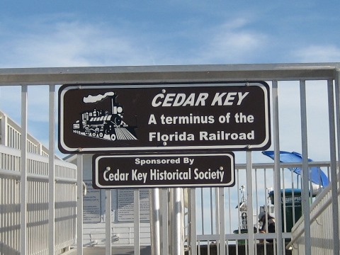
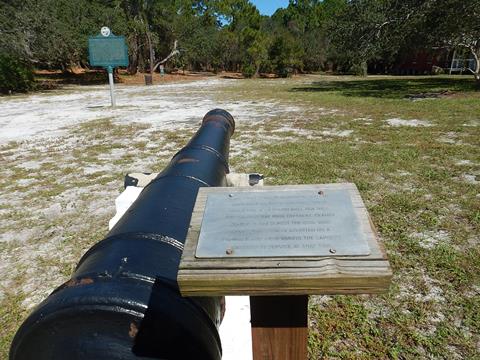
Cedar Key is one of the Cedar Keys, a cluster of islands. The second oldest town in Florida, it is named for the Eastern red cedar that was important to its early economy. Once an important port and western terminus of the Florida Railroad, the Hurricane of 1896 dealt a blow to the economy and the railroad moved its hub to the Port of Tampa. A visit to the two museums - Cedar Key Historical Society Museum (on the N.W. corner of D and 2nd Streets) and Cedar Key Museum State Park (on Way Key about 1.8 miles from downtown) - are good orientation points and worth the visit to learn more.
Cedar Key Cemetery and Cemetery Point Park
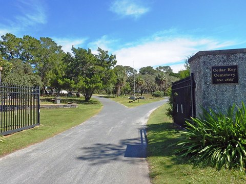
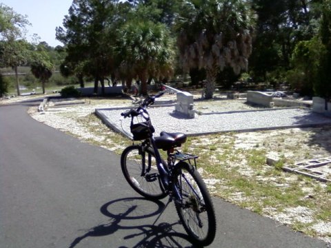
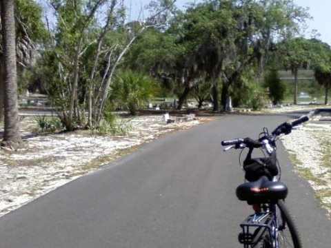
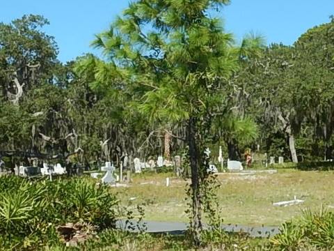
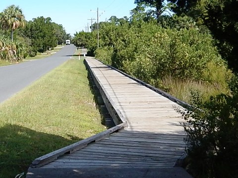
The cemetery, dating from 1886, is about 1.2 miles from town along Gulf Blvd. A boardwalk with views of the saltwater marshes leads to Cemetery Point Park. The 3.5 acre park, developed with funding from a Forever Florida grant, includes restroom, exercise trail, picnic facilities, playground and overlook.
The Cemetery
Cemetery Point Boardwalk and Park
Cedar Key State Park Museum
Ride to the Cedar Key Museum State Park on Way Key - about 1.8 miles from town (Gulf Blvd. to Hodges Ave. to SW 165th Terrace). Includes the Saint Clair Whitman House, home of the founder of the first museum in Cedar Key.
Railroad Trestle Nature Trail
On Grove St. off SR24 approaching Cedar Key. Built on the bed of the old railroad between Fernandina Beach and Cedar Key. A short (6/10 mile round-trip) walk with benches and interpretative signs. Some of the old trestle pilings are visible at the end of the path.
Atsena Otie Key
The site of the first town in the Cedar Keys, a mill provided wood for Eberhard Faber pencils until leveled by the Hurricane of 1896. Today, part of the Cedar Keys National Wildlife Refuge. Accessible by water - we kayaked, about a mile round-trip from Cedar Key. Ruins of the town and mill can be seen along a walking trail on the key, as well as the cemetery dating to 1877.
View more details, photos: Paddling at Cedar Key
Shell Mound
14 miles from town, part of the Lower Suwannee National Wildlife Refuge. Built up by native inhabitants of the Middle Archaic to Woodland Periods between 1,800 and 400 years ago. A hiking trail to the mound, observation deck. Campground, boat ramp.
Then and Now
A few views of changes over the years. Weather and age take their toll.
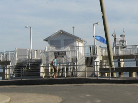
Cedar Key Pier
Stilt Cabin
Pier on Atsena Otie
More Information and Resources
Nearby Biking and Hiking:
Lower Suwannee National Wildlife Refuge (unpaved eco-biking)
North FL Region - More trails
plus Regional Overview map
Nearby Paddling:
Paddling at Cedar Key
Waccasassa River, Wekiva River and Otter Creek
Related Resources:
Find Trails by FL Region or Listed A - Z

100FloridaTrails.com... 100+ Florida Multi-use Bike Trails, Best for Safe, Fun Recreation and Fitness
Other Websites:
BikeOrlando.net
PaddleFlorida.net
BikeTripper.net
Copyright © 100FloridaTrails.com. All Rights Reserved.
