100 Florida Trails®
Top FL Multi-use Bike Trails
Map Links & Photos Galore
Coast-to-Coast Updates
You are here >
Home >
FL Eco-biking >
Cross Florida Greenway
Latest update: August 2022
Cross Florida Greenway... Transforming an Unfinished Canal Project
Miles of Paved and Unpaved Eco-biking on Public Lands
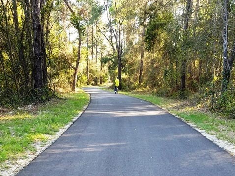
The Marjorie Harris Carr Cross Florida Greenway extends 110 miles covering 74,000+ acres, from the St. John's River to the Gulf of Mexico along the route of the former Cross Florida Barge Canal (see history, below). There are about 330 miles of biking, hiking, and equestrian trails, and a 36-mile segment of the Florida National Scenic Trail. There are now 5 separate sections with paved bike trails of various lengths. All trailheads and biking options are shown below. The Greenway is about a mile across with a remote feel, but actually runs near busy residential and commercial areas in some places. Note: Riders under 16 must wear helmets, everyone required to wear helmets on mountain biking trails. (Map link and photos below.)
Location: Citrus, Levy, Marion and Putnam Counties
End Points: St. John's River (south of Palatka) to
Withlacoochee Bay on the Gulf of Mexico (south of Yankeetown)
Mileage: 110 mile corridor; 31 miles paved trail,
330 miles of trail total, includes a 36 mile segment of the Florida Trail
Surface: Mixed (asphalt, packed dirt, grass, sand)
Trailheads: Marshall Swamp, SE 64th Avenue, Baseline,
Santos, Landbridge, SW 49th Avenue, Ross Prairie, Pruitt, Inglis Island,
Felburn Park, Withlacoochee Bay (See map)
Nearby points of interest: Ocala, Silver River and Silver Springs State Park,
Ocklawaha River, Rainbow River and Rainbow Springs State Park, Withlacoochee River,
Withlacoochee State Trail, Goethe State Forest, Crystal River
Bike Shops/Rentals:
Santos Bike Shop
(Ocala,
Santos Trailhead)
Blue Run
Bikes (Dunnellon)
Support and Advocacy:
Florida Greenways and Trails
Foundation
Ocala
Mountain Bike Association (OMBA)
Page Summary:
- Eco-biking on the Cross Florida Greenway
- Baseline Loop Trail
- Baseline Trailhead, Marshall Swamp Trailhead - Santos Trailhead to SR 200
- Santos Trailhead, Landbridge Trailhead and Landbridge, 49th Ave. Trailhead - Trailheads, SR 200 to Dunnellon Trail
- Shangri-La Trailhead and Campground, Ross Prairie Trailhead, Pruitt Trailhead - Dunnellon Trail
- Inglis Dam Recreation Area
- Withlacoochee Bay Trail
- Some History
- More Information and Resources
Eco-biking on the Cross Florida Greenway... Comments and Photos
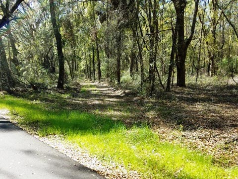
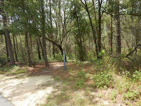
Recreational options include biking (both paved and mountain), hiking, horseback riding, hunting, camping, and fishing. Several nearby State Parks, forests, and rivers have yet more recreational opportunities. The terrain is diverse, from prairie to sandhill, maritime hammock and salt marsh. A wide range of wildlife include many birds, deer, turkey, bobcat, bear, alligators, fish and more.
While much of the biking on the Cross Florida Greenway is better suited to mountain biking, more sections are being paved. So far, there are 31 miles of paved trail in 5 sections along the Greenway:
- Baseline Loop Trail (about 5 miles)
- Santos Trailhead to SR 200 (15 miles)
- Dunnellon Trail (2.5 miles)
- Inglis Dam Recreation Area (2.5 miles)
- Withlacoochee Bay Trail (6.2 miles)
Here we visit the Greenway from East to West
Baseline Loop Trail
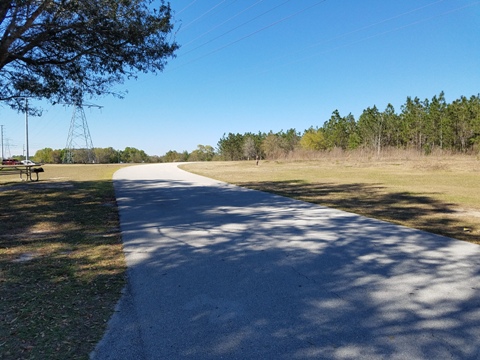
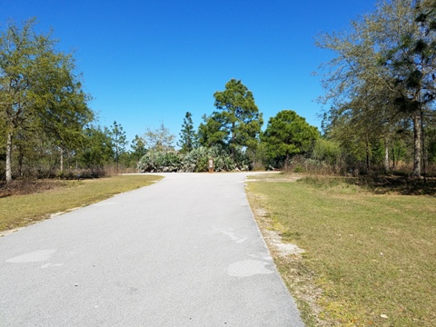
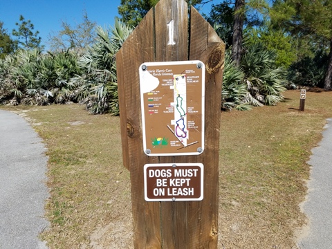
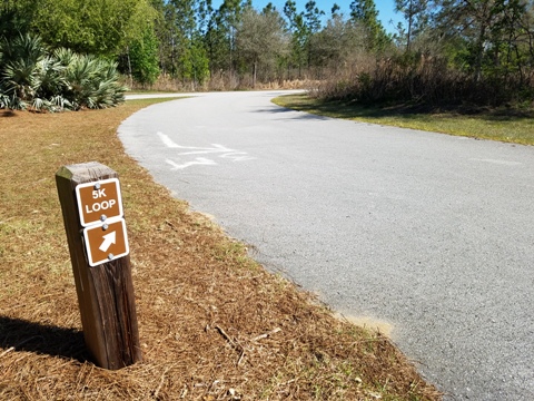
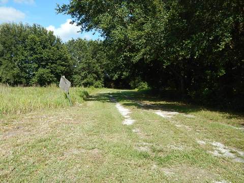
A 5-mile, paved multi-use trail, including several loops, runs from the Baseline Trailhead to the 64th St. Trailhead. Past 64th St., the trail continues unpaved about 2.5 miles to the Marshall Swamp Trailhead.
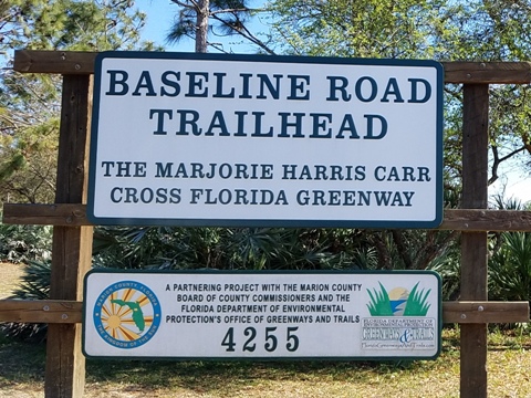
Baseline Trailhead
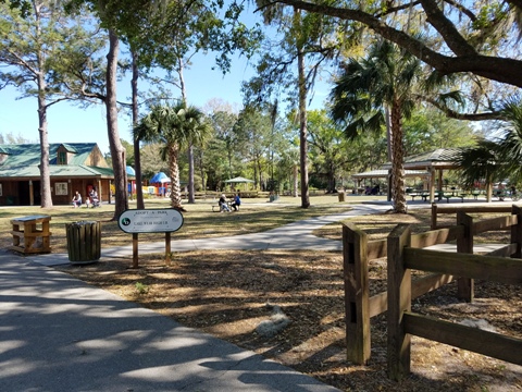
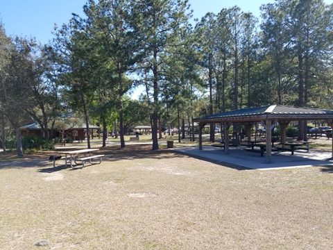
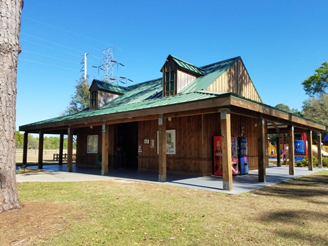
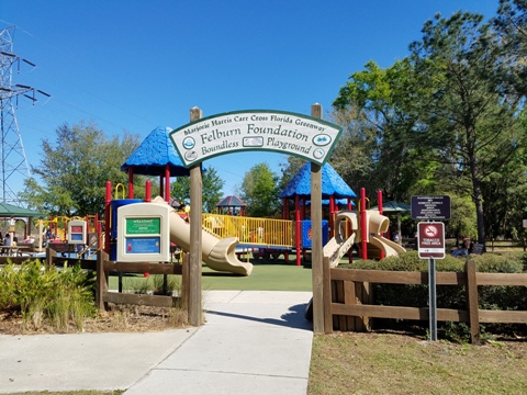
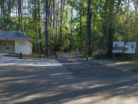
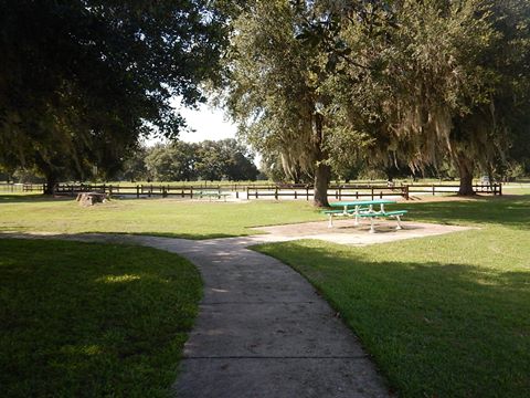
The Baseline Trailhead, managed by Marion County, has parking, restrooms, picnic, concession, and features a Boundless Playground which allows children of all skill levels to play together.
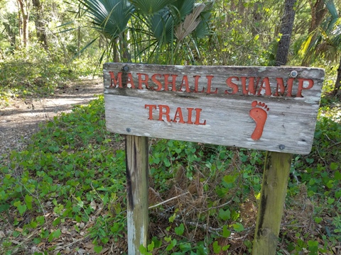
Marshall Swamp Trailhead
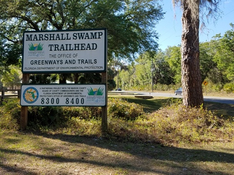
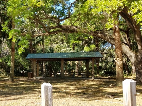
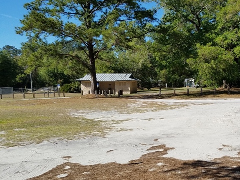
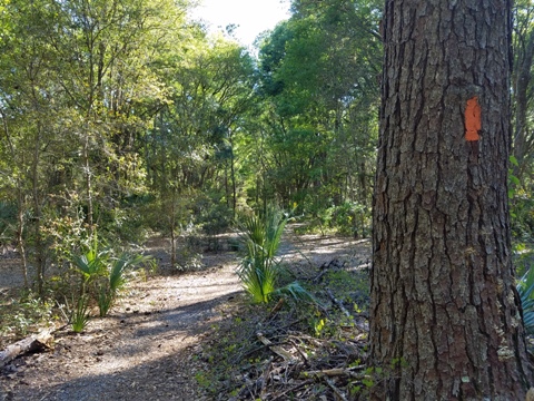
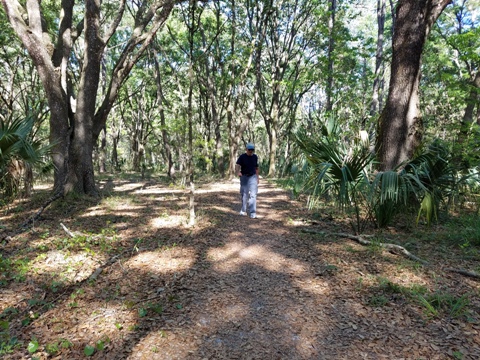
The Marshall Swamp Trail (unpaved hiking) is about 5.5 miles round-trip. The trailhead has parking, restrooms, picnic.
Santos Trailhead to SR 200
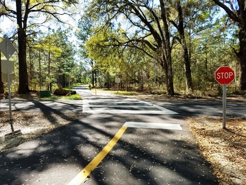
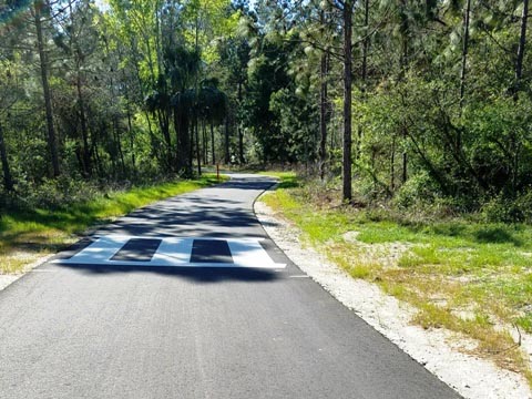
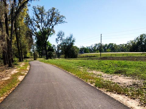
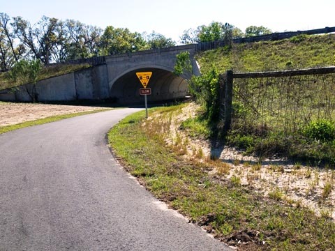
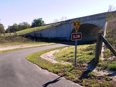
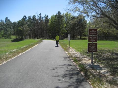
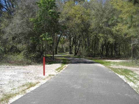
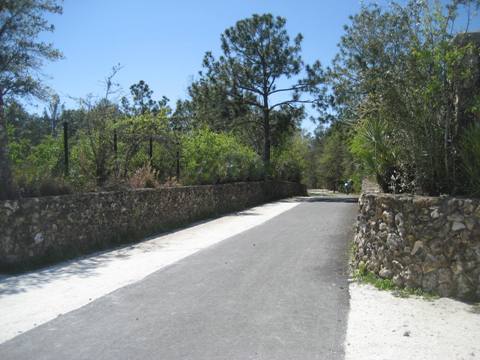
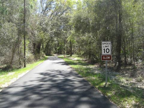
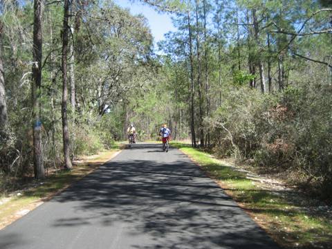
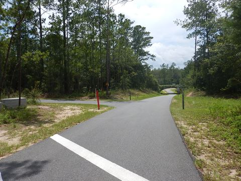
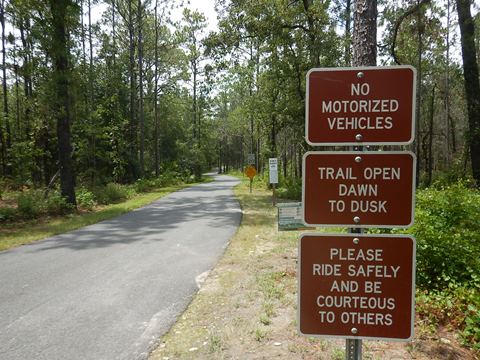
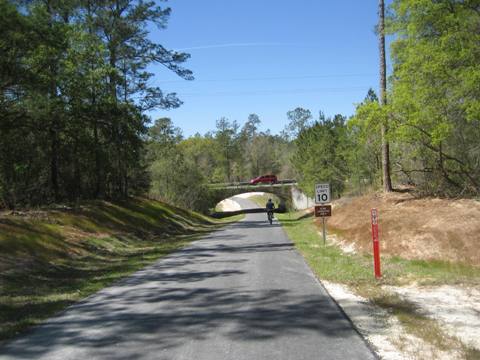
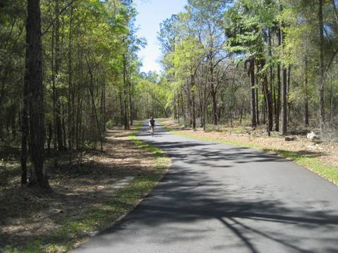
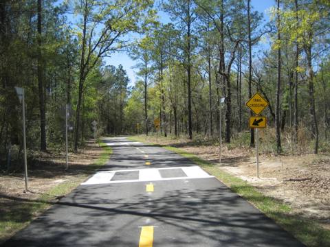
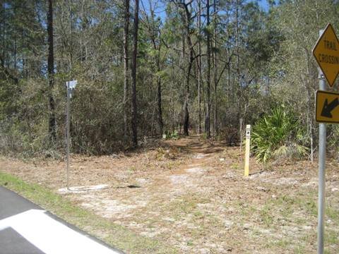
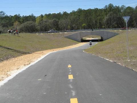
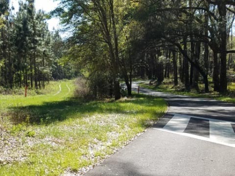
This 15-mile paved section is popular with road bikers (evidenced by posted speed limits), and many zipped past us. This is a mostly easy ride, with some hills and curves. Mixed sun and shade. There are some road crossings, but underpasses at major roads are a nice feature. Several trailheads provide parking options some with other facilities. Mountain biking trails, the Florida Trail, and equestrian trails crisscross and parallel the paved trail and are well marked.
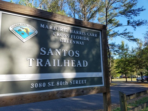
Santos Trailhead
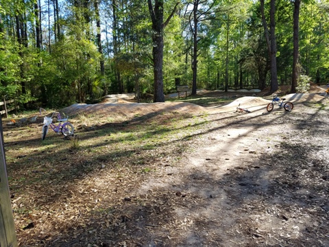
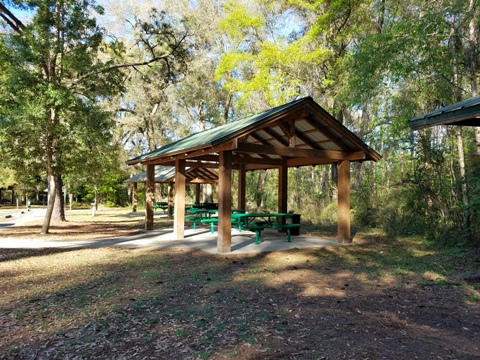
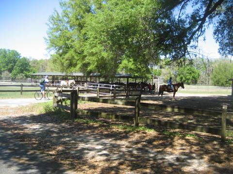
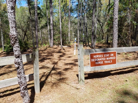
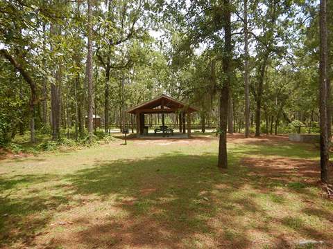
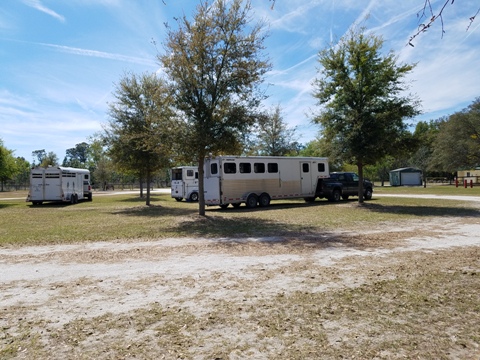
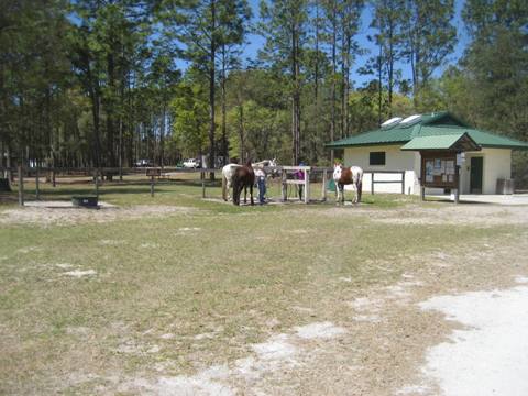
The Santos Trailhead has parking, restroom and showers, drinkable water, picnic pavilions, equestrian staging area, camping, and a pump track.
Santos is the base for the Ocala Mountain Bike Association (OMBA) which developed and maintains the Santos trails - 60+ miles and growing, including singletrack, dirt jumps, pump track and more. The Santos bike trails have been honored by the International Mountain Biking Association (IMBA) as a bronze-level Ride Center.
Santos Trailhead to Landbridge Trailhead
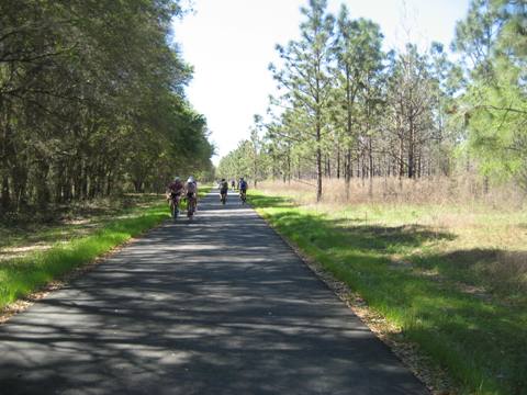
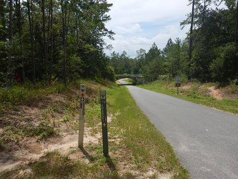
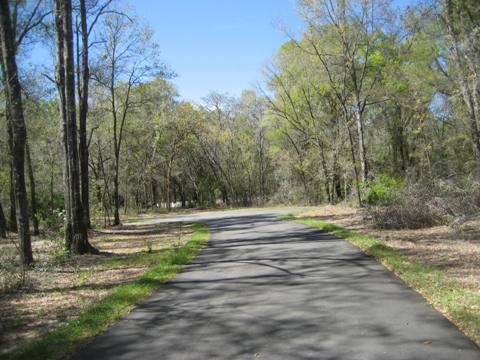
From Santos, the paved trail runs about 6.5 miles to the Landbridge Trailhead - passing the Vortex (a freeride area, for experienced mountain bikers only). The paved trail is mostly shaded with just a couple of open sections, and includes two underpasses (CR 475 and CR 475A).
Landbridge Trailhead
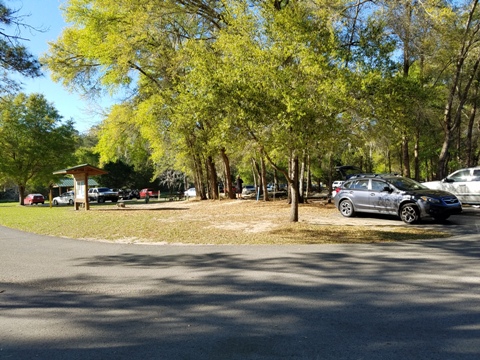
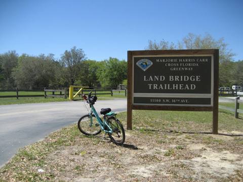
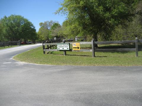
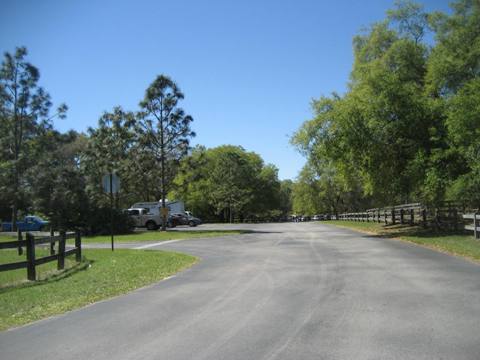
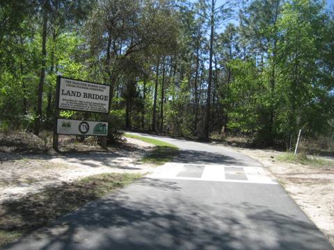
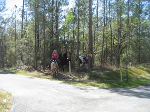
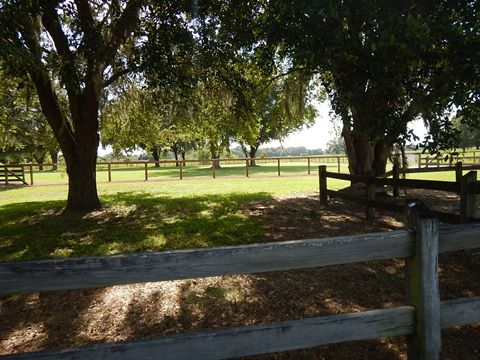
The Landbridge Trailhead has paved parking, restrooms, drinkable water, picnic tables, and a large equestrian staging area.
Landbridge Trailhead to the Landbridge
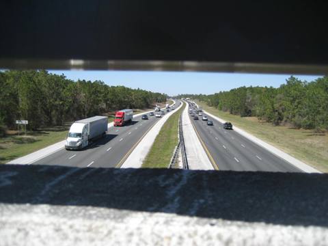
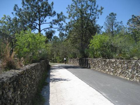
From the Landbridge Trailhead is about 1.1 miles to the Florida Landbridge - a spiritual must-do for all Florida cyclists (or at least for those who have driven I-75 between Ocala and Wildwood). Shared by bikers, hikers and equestrians, the Landbridge is lined on both sides by 4.5 foot planters, fully irrigated and landscaped with native Florida vegetation. A viewing area is at the center. Remember, hikers and equestrians have the right-of-way.
Landbridge to 49th Avenue Trailhead
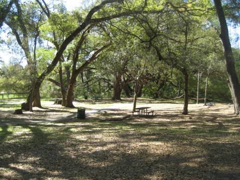
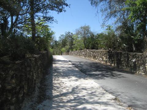
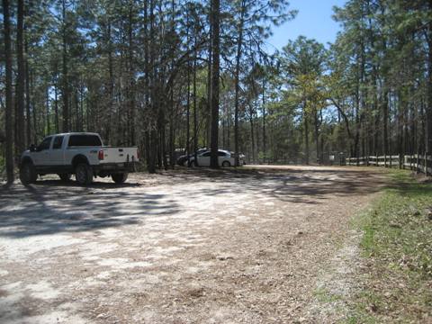
From the Landbridge, it's about 2.5 miles to the 49th Avenue Trailhead. Mixed shaded and sunny sections on the trail. The trailhead has dirt parking, an equestrian parking area, picnic tables and a port-a-potty. From the parking lot, a quarter mile connector leads to the paved trail.
49th Avenue Trailhead - West to SR 200
This section runs about 5.5 miles, passing the Shangri-La Trailhead and Campground and ending at SR 200 just north of Ross Prairie Trailhead. This section is less shady, with some curves and rolling hills. Two underpasses - at SW 49th Ave. and at CR 484 - are a bonus. The route runs between two highly developed residential areas, but you'd never know it from the quiet surroundings. At the end of the paved trail is a picnic table and roadside parking along SR 200.
Trailheads, SR 200 to Dunnellon Trail
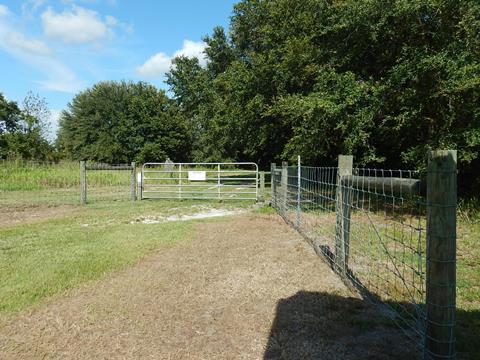
A sign at the end of the paved trail at SR 200 tells of future connectivity to Dunnellon, Silver Springs and beyond. Until that time, SR 200 to CR 484 is a road route to the west. Several Trailheads are located along the way.
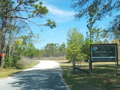
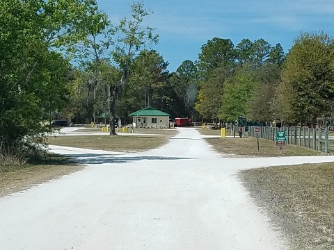
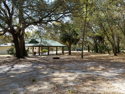
Shangri-La Trailhead and Campground
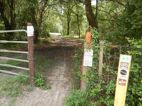
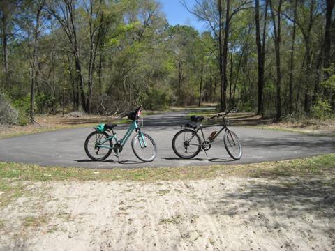
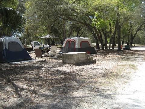
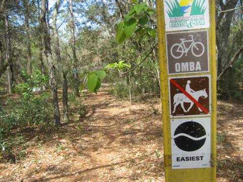
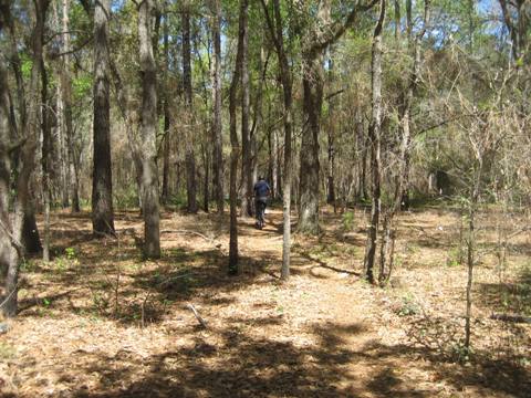
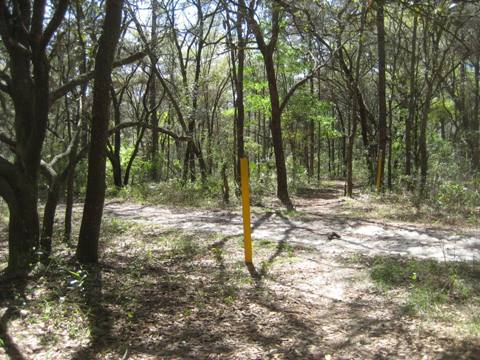
At Shangri-La is a day-use bike and equestrian trailhead with restrooms, drinkable water, picnic facilities. The campground has 24 sites and a bathhouse. There's no direct access to the paved trail, so we rode an OMBA trail - rated "Easiest" - to explore the route. Ours are not mountain bikes, but with fat tires we were able to manage the trail.
Ross Prairie Trailhead
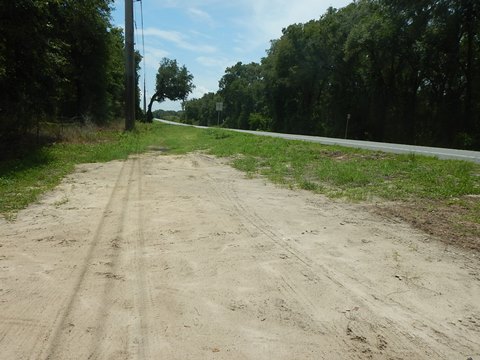
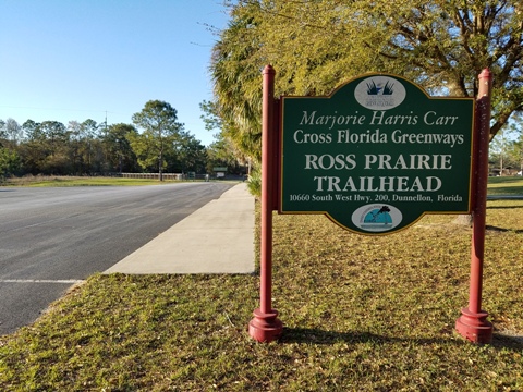
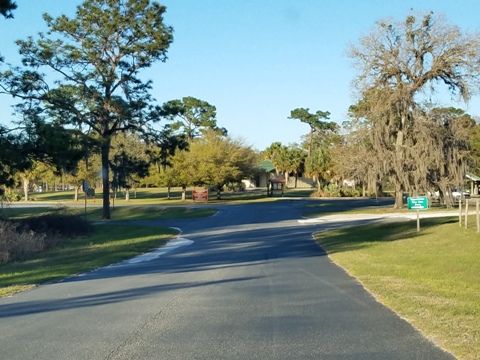
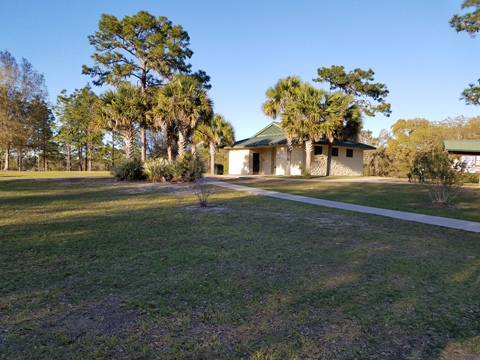
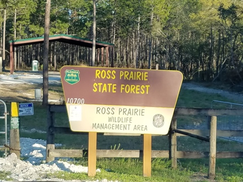
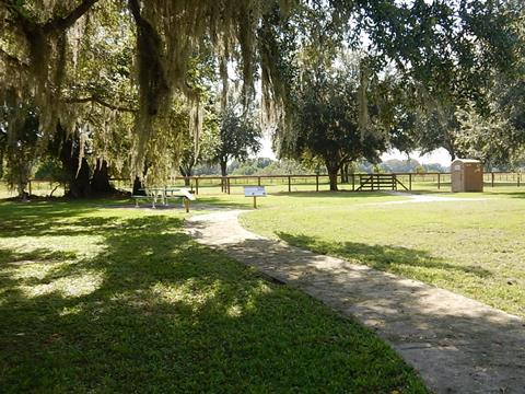
There is no direct access from Ross Prairie Trailhead to the paved trail, but rather via unpaved trails - or it's about a mile north on SR 200 from the trailhead to the paved trail entrance. The day-use trailhead includes parking, restrooms, picnic pavilion, drinkable water, and an equestrian staging area. The campground has 14 sites with water and electricity. The area is adjacent to the Ross Prairie State Forest.
Pruitt Trailhead
Pruitt Trailhead is off CR 484 about 5.5 miles west of SR 200. Parking, port-a-potty, picnic table, equestrian staging area. Mountain biking and hiking trails run between Ross Prairie and Pruitt.
From Pruitt Trailhead to the Dunnellon Trail, continue 3.6 miles along CR 484 to Bridge St.
Dunnellon Trail
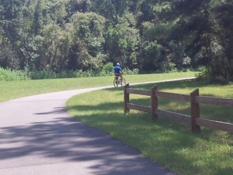
The paved Dunnellon Trail is part of the Greenway, running 2.5 miles along the Rainbow River including a bridge across the Withlacoochee River. The ride along the Rainbow River is very scenic. The Withlacoochee River bridge seems to appear out of nowhere, with great river views from several observation decks. From its southern terminus at US 41/CR 39, a one-mile extension links to the Withlacoochee State Trail.
There's no direct connection to the next paved biking area on the Greenway at Inglis Dam Recreation Area. Until such future time, there are two options: to the north along CR 40, or to the south along CR 488.
Inglis Dam Recreation Area
The paved trail on Inglis Island at Inglis Dam Recreation Area runs.2.5 miles, with another 7.5 miles of unpaved trails available for fat-tire biking, hiking and horseback riding. At the Inglis Dam Recreation Area to the south along the shore of Lake Rousseau are parking, boat ramp, restrooms, picnicking, and 3 fishing piers. On the north side of the canal at the Inglis Lock Recreation Area are parking, picnic, restroom, the Lock, and a Greenway office. A walkway over the Lock links to the south side of the Greenway and Lake Rousseau.
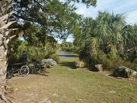
From the end of the paved trail at Inglis Dam Recreation Area is a channel. Across the channel is the Withlacoochee Bay Trail. Bridging that gap is a future goal, but for now there's no direct link so to reach Withlacoochee Bay Trail requires traveling along US 19 to Felburn Park.
Withlacoochee Bay Trail
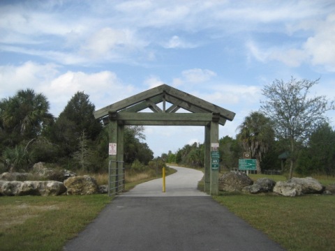
The Withlacoochee Bay Trail is the westernmost end of the Cross Florida Greenway. It runs 6.2 miles from the Withlacoochee River east of the Felburn Park Trailhead (off US rte. 19 about 12 miles north of Crystal River) to Withlacoochee Bay and the Gulf of Mexico. Many pavilions along the trail offer shade, rest, and views of the canal, as well as marshes and wetlands.
Some History
History - Marjorie Harris Carr Cross Florida Greenway:
The idea of building a canal across Florida has a long history extending to colonial times. It took root in the 1930’s as a Depression Era sea-level canal project, but that effort was halted due to funding, local and national opposition - diggings from that project can still be seen. During World War II, the plans were modified from a sea-level project to lock and dam canal. In the 1960's, amid national security concerns, construction resumed on the Cross Florida Barge Canal as a commercial shipping channel across Florida. However, growing environmental awareness and complaints about cost and usefulness ultimately doomed it. Construction was halted by presidential order in 1971 and in 1990 the project was officially de-authorized by Congress. Ownership transferred to the State of Florida as a public recreation and conservation area. The Greenway was renamed in honor of environmentalist Marjorie Harris Carr who spearheaded opposition to the barge canal in order to save the Ocklawaha River.
More Information and Resources
Nearby Biking:
North FL Region - More trails plus Regional Overview map
Nearby Paddling:
Ocklawaha River at www.PaddleFlorida.net
Related Resources:
Florida State Parks - Marjorie Harris Carr Cross Florida Greenway
Find Trails by FL Region or Listed A - Z

100FloridaTrails.com... 100+ Florida Multi-use Bike Trails, Best for Safe, Fun Recreation and Fitness
Other Websites:
BikeOrlando.net
PaddleFlorida.net
BikeTripper.net
Copyright © 100FloridaTrails.com. All Rights Reserved.
