100 Florida Trails®
Top FL Multi-use Bike Trails
Map Links & Photos Galore
Coast-to-Coast Updates
You are here >
Home >
FL Eco-biking >
Wekiva Springs State Park
Reported: December 2020
Biking at Wekiva Springs State Park... Central FL
Miles of Eco-biking and Hiking, Just North of Orlando
Wekiva Springs State Park is a local treasure and one of our favorite natural escapes in the Orlando area, about 20 miles north. Best known for kayaking and swimming at Wekiva Spring, the 7,000 acre park has much more to offer with activities for just about everyone - camping, hiking, paddling, biking, picnicking, fishing, bird and wildlife viewing and more. Great for family excursions. On weekends and holidays, lines can be long - and they shut the gates when they reach capacity - so plan to arrive early. State Park fee applies. Biking on the paved Park road is OK, but the best biking here is for fat-tire bikes and mountain bikes on some (not all) unpaved trails. (Map link and photos below.)
Location: Orange County (Apopka)
Mileage: Along the main park road - about 3 miles;
off-road Bicycle Trails (red blaze) - 7.8 miles; Equestrian Trail
(green blaze) - 8 miles; Hiking Trails (white, orange, blue blazes)
- 20+ miles
Surface: Asphalt; crushed stone, packed dirt, sand
Trailheads: Parking at the Springhead, at the Sand
Lake Trailhead
Nearby points of interest: Kelly Park, Wekiva
Island
Bike Shops/Rentals:
Wekiva Springs Adventures (State Park concessionaire)
Support and Advocacy:
Page Summary:
- Eco-biking and Hiking at Wekiva Springs State Park
- Biking at the Park
- On the Main Park Road
- Off-road Biking - Hiking Trails
- Wekiva Springs State Park
- More Information and Resources
Eco-biking and Hiking at Wekiva Springs State Park... Comments and Photos
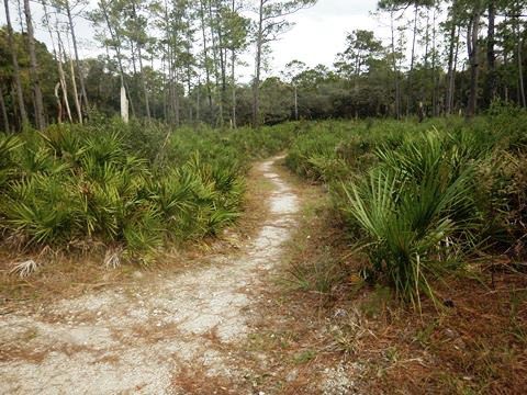
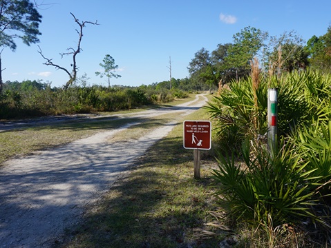
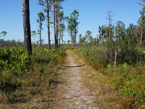
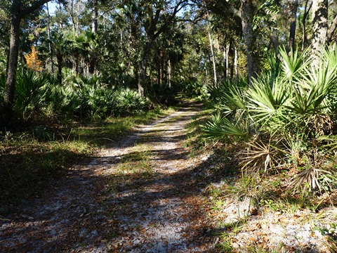
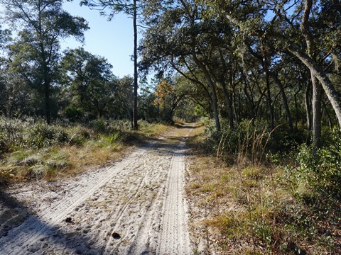
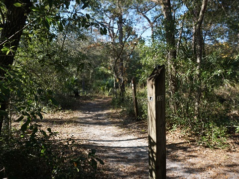
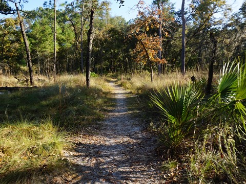
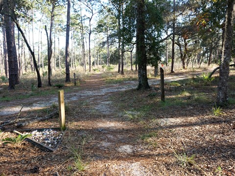
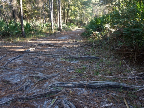
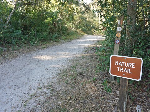
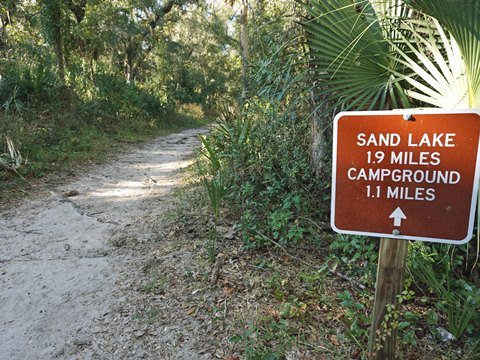
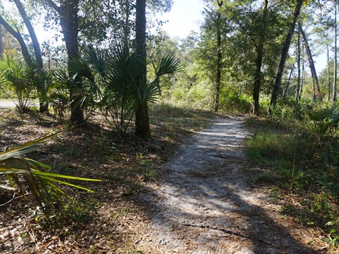
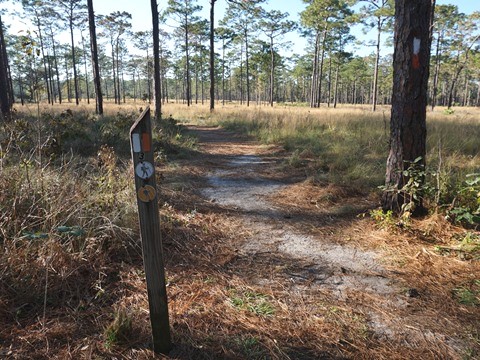
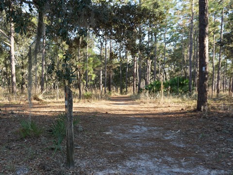
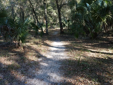
To avoid the crowds at the Spring area, park at the Sand Lake Trailhead to access the bike trail (Red blaze), or equestrian trail (Green blaze), as well as Hiking trails (White blaze). The trails here are sandy and can be muddy, fat tire bikes are a necessity. The trails are fairly well-marked with colored blazes and numbered markers, but a trail map (available at the ranger station and at trailheads) and GPS/compass are recommended. Bring water and sunscreen. Helmets are highly recommended (Florida State law requires helmets for cyclists 16 or younger). Note: The trails sometimes overlap and become multi-use, so may be shared by hikers or equestrians. Follow the map and watch for the colored blazes to know which you're on, and when they split. When on shared trails, please be courteous and yield to hikers.
Biking at the Park
On the Main Park Road between Trailheads
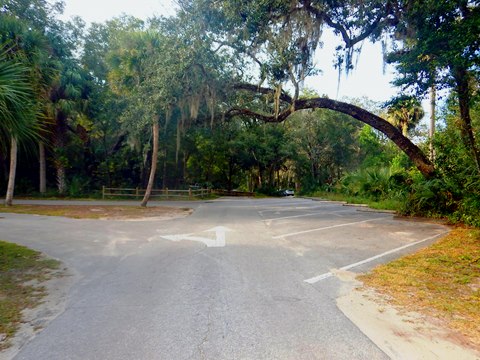
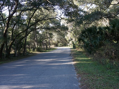
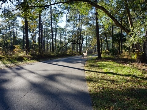
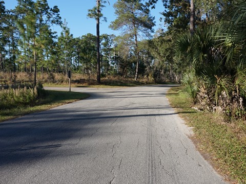
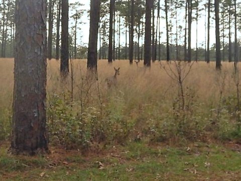
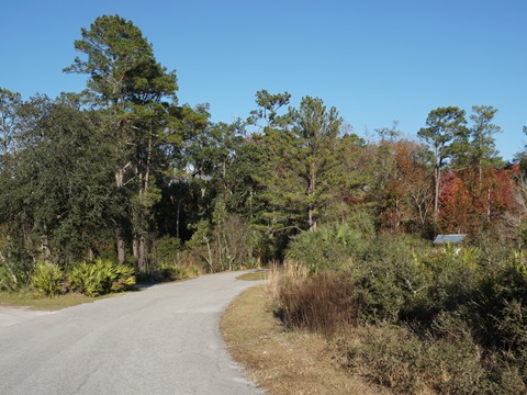
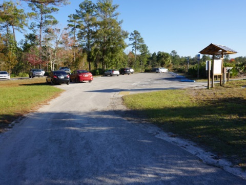
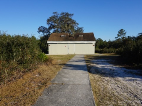
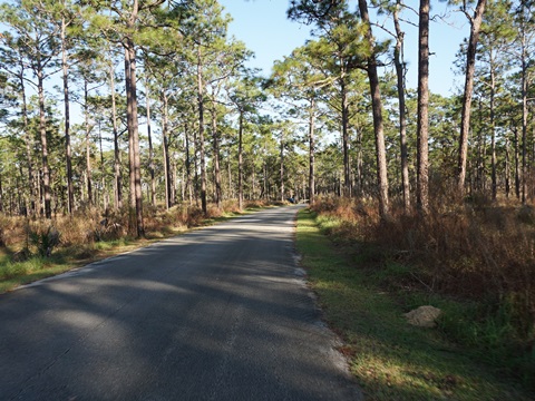
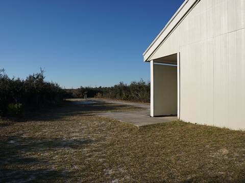
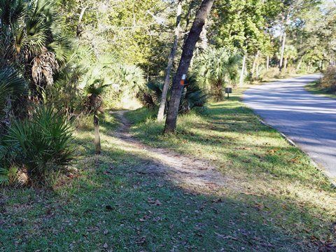
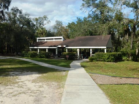
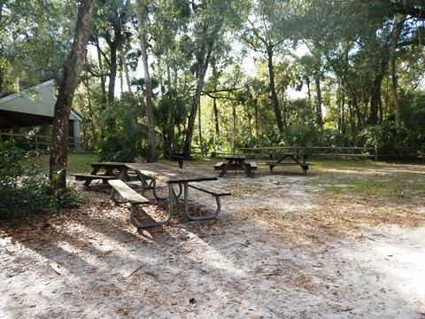
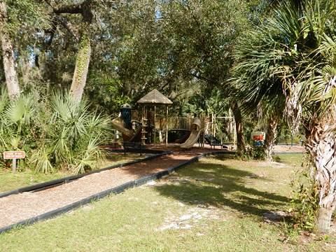
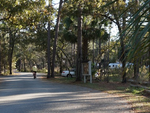
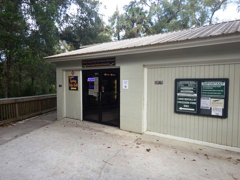
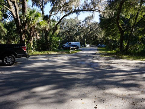
Starting from the parking area at the Springhead, we biked along the paved main park road to the Sand Lake Trailhead (about 2.5 miles). At the Springhead are parking, restrooms, swimming and snorkeling, picnicking, playground, a grill and concession, and paddling launch to the Wekiva River. Bike rentals are available at the concession. Sand Lake Trailhead has parking, picnic tables, and a restroom (follow the paved pathway). Mid-week in December it was quiet on the road, but it can get busy on weekends so keep aware - the road is twisting and there are no bike lanes. Hiking trails cross the road. We often see deer near the campground.
Off-road Biking
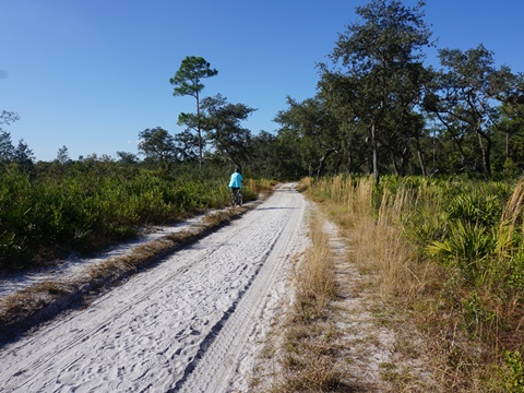
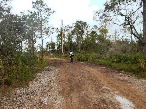
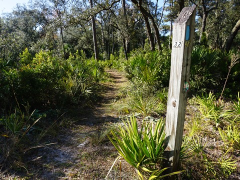
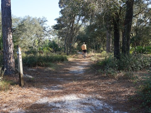
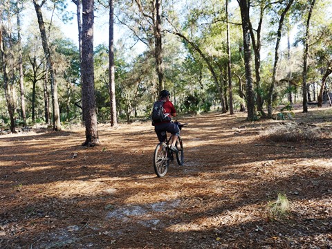
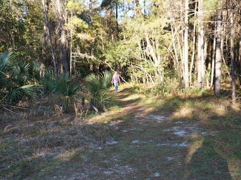
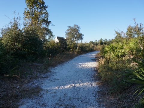
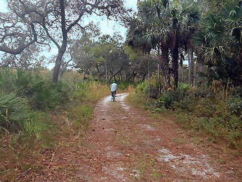
Starting from the Sand Lake Trailhead, we biked a loop going west, then south, and return (partly on the paved park road). Given that (1) our most comfortable biking is on paved bike trails and (2) we don't have mountain bikes, this trip might better be called "bike-hike" since we walked several sections due to sand or other obstacles - but that's just us, in most places those with mountain bikes will fare better. We enjoyed the walking, though, better to enjoy the tranquil surroundings. The trails overlap, so at times we were on shared hiking and/or equestrian trails. On a clear, dry and cool day in December, we saw no horses and few walkers, but many bikers! Note: Weather can affect trail conditions, sections can be muddy or even flooded. (The park trail map can help visualize our route - from Sand Lake Trailhead, past markers #32, 31, 30, 29, 10, 9, 8, 7, then back on the park road to return to trailhead.).
Trailhead to the Fork - Camp Cozy and Big Fork Camp
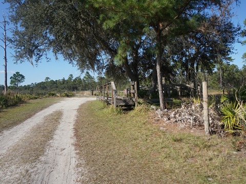
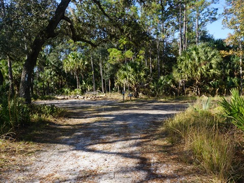
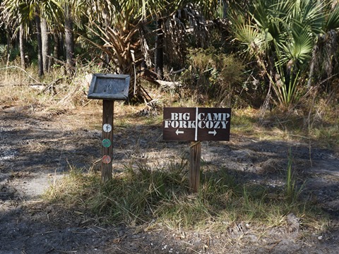
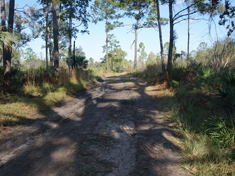
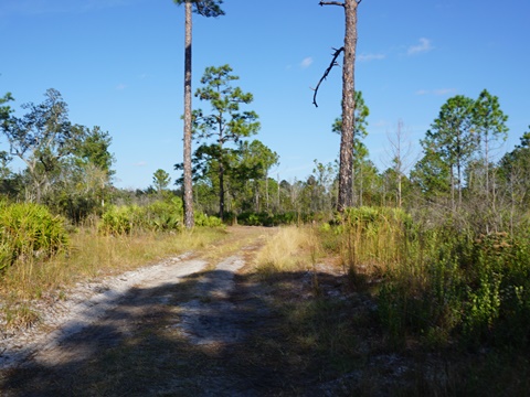
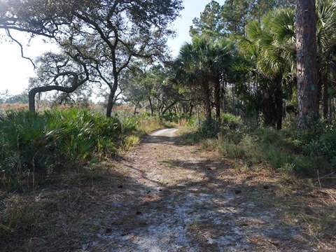
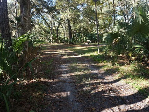
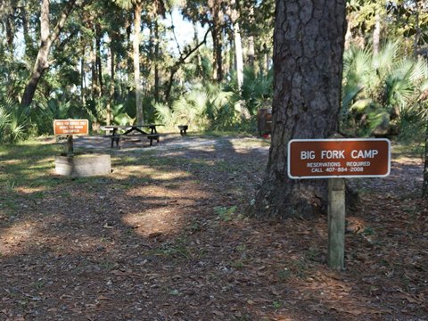
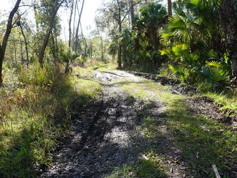
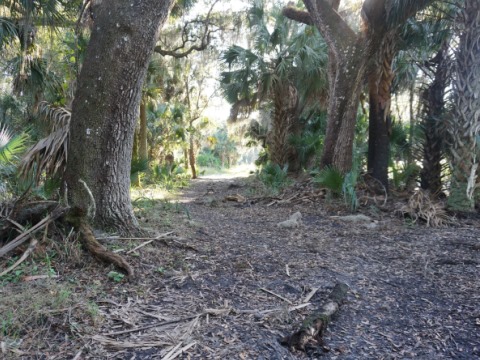
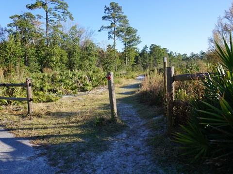
From Sand Lake Trailhead, we biked past the equestrian corral and onto the off-road biking trail. At the fork, we went a short distance toward Camp Cozy and then toward Big Fork Camp. There were both sandy sections and some mud (it had been raining recently). This is a ride for those with the right bikes and equipment. Not having mountain bikes, we pushed through sections on foot.
Toward Camp Cozy - Some Deep Sand
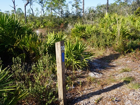
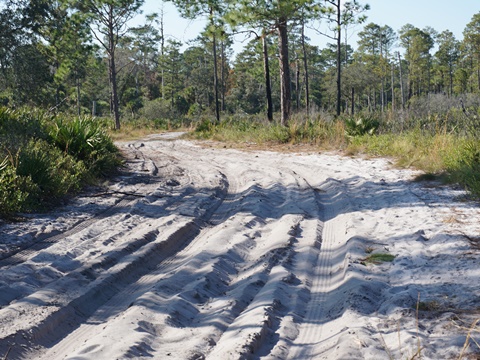
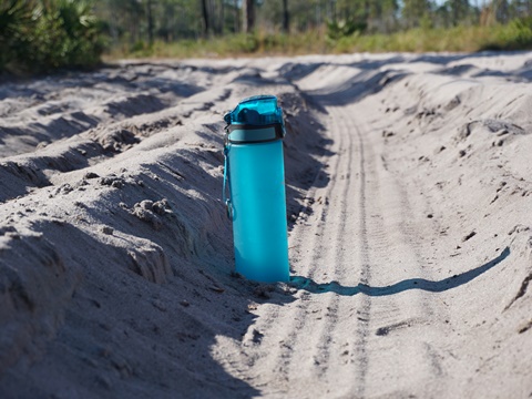
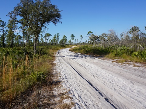
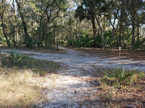
We didn't get too far here, though a biker (on mountain bike) went zipping past us with a wave and smile. The trail is fairly rideable to Marker #33 (East-West Connector) and then to where the Main Hiking Trail branches off, but after that the sand was too deep and we turned around. We set a water bottle in one of the tire ruts from a park vehicle to show how deep the sand was.
To Big Fork Camp - A Better Biking Option
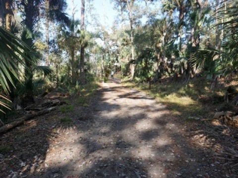
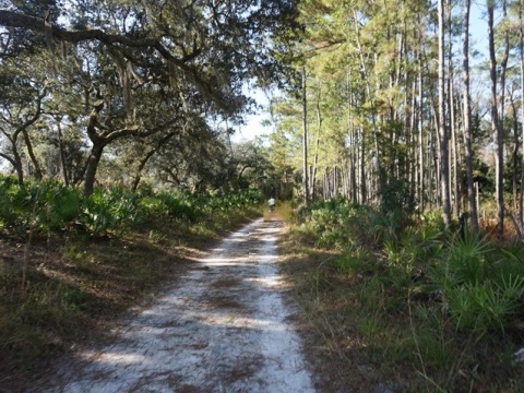
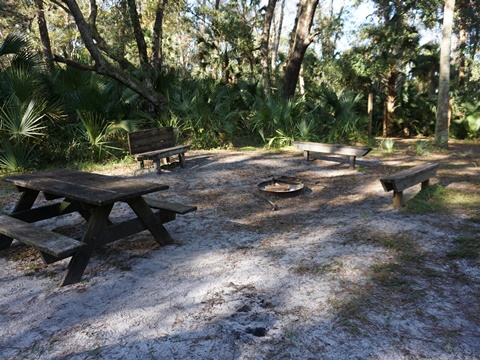
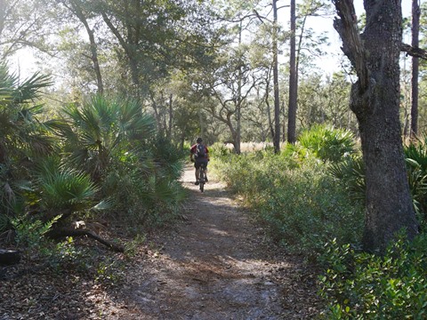
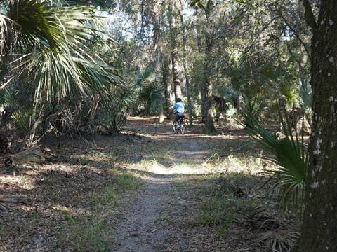
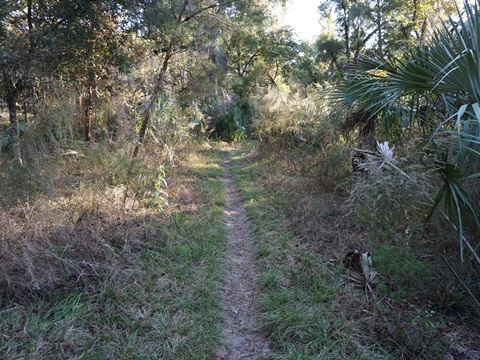
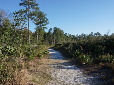
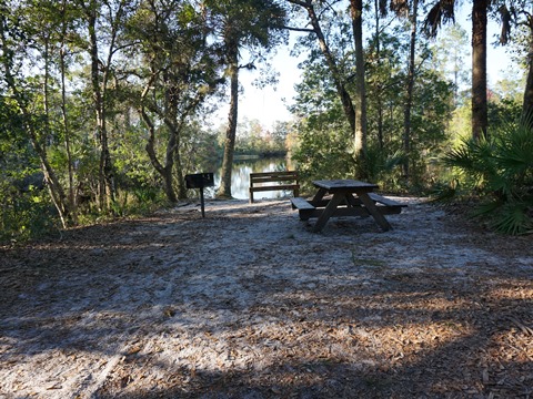
This was one of the easier rides for us, just a couple of sandy spots. Pretty section. The East-West Connector trail crosses at Marker #32. Big Fork primitive campground can accommodate up to 10 people and has picnic table, grill and benches. Horses are allowed.
Big Fork Camp to Volksmarch Trail, Marker #10
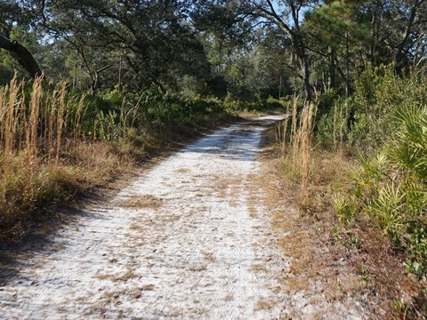
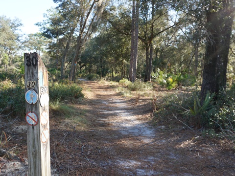
This section ran past markers #31, 30 (joining Volksmarch Trail) and 29 to #10. We had stopped at the crossing at #30 to orient ourselves on the map, another biker stopped and gave us some advise on continuing to #10.The trail had rough spots - some sandy and pitted areas - but we were able to push through most with some walking. At #10, the biking trail branches north but we turned southbound to continue our loop back.
Carpenter Branch to Lake Prevatt (Markers #10 to #8)
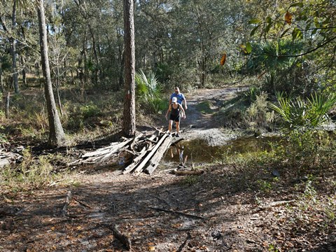
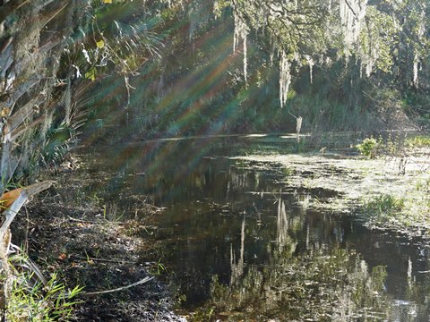
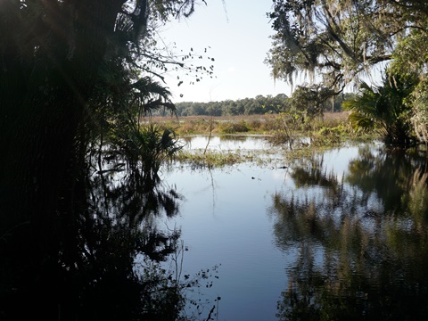
Some challenges here, but a change of pace. First, we had to cross Carpenter Branch creek over logs - some hikers we met had a slightly easier time. Then, continuing around Lake Prevatt we ran into a flooded section and were unable to continue so backtracked and followed the hiking trail.
Detour to Marker #7, Youth Camp and Return to Sand Lake Trailhead
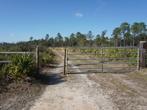
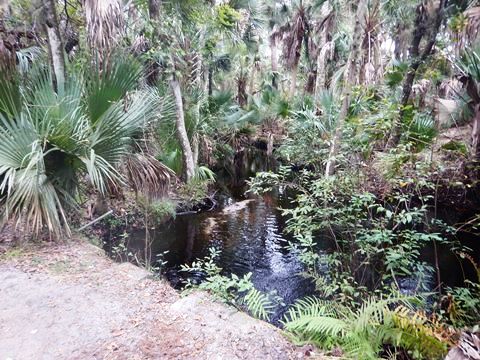
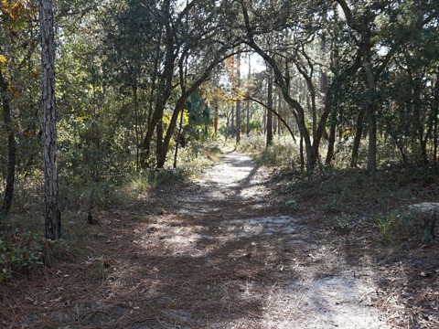
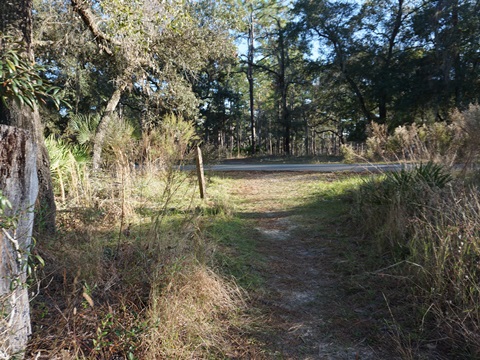
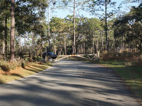
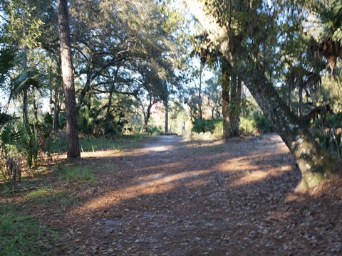
This "detour" was well used by other bikers who passed us, our guess is this is well-known by the regulars to avoid flooding at the lake.. It's a hiking trail with some narrow spots, so while we saw no hikers do be courteous on busier days. This is a scenic and peaceful section, and for us, an easier riding surface. From Marker #7 it was a short ride to a park road. Happy to be back on pavement, we didn't realize we were inside the Youth Camp until we came to the locked gate. Going around the gate, we then proceeded back to the Main Park Road and returned to the trailhead.
Hiking Trails
The Main Hiking Trails (White blaze) are 13.5 miles; the Volksmarch Trail (Orange blaze), 5.3 miles, and the East-West Connector (Blue blaze), 2.1 miles. Portions overlap. indicated by the blaze markers. There are numbered markers all along the trails, indicated on the Park Trails map - helpful in showing where you are. At the Springhead, the 8/10 mile Wet-to-Dry Trail includes a Boardwalk, a popular hike that connects to the Main Hiking Trail leading to Sand Lake Trailhead.
"Wet to Dry Trail" - Views of Spring and Hammock
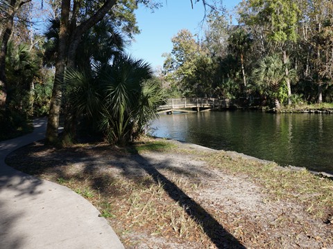
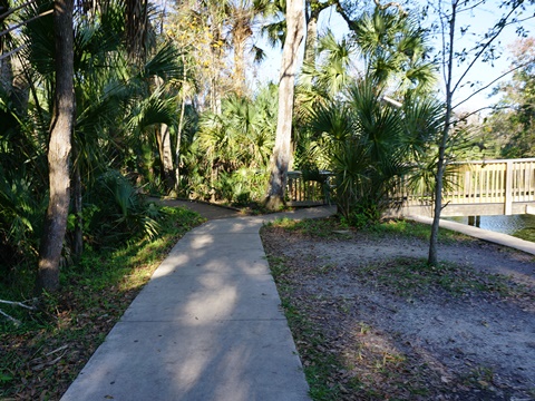
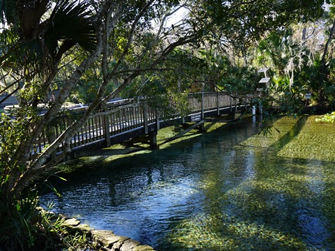
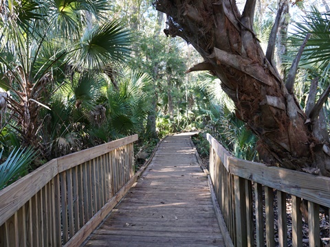
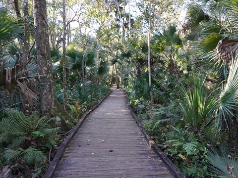
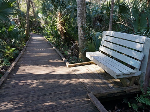
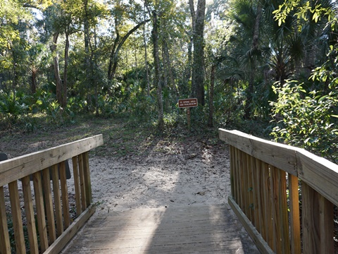
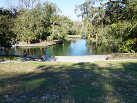
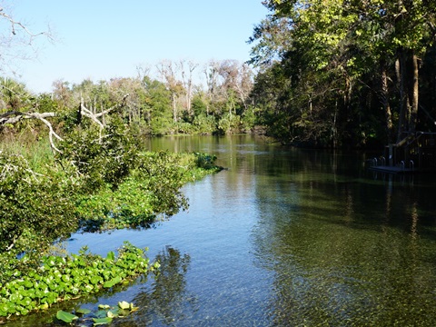
Though short, this is the most accessible and popular trail. It's called "Wet to Dry" because it runs from wet hardwood hammock forest to dry uplands. From the Spring, follow the path to the bridge where you can view the outflow to the river. The Boardwalk starts here. The trail is well-marked with interpretative signs, and is wheelchair accessible. We hiked the full loop, continuing from the end of the Boardwalk along the unpaved Main Hiking Trail running between the Springhead and Sand Lake Trailhead. On the Boardwalk is mostly shaded.
Sand Lake Loop - Very Nice 1/2 Mile Hike from Trailhead
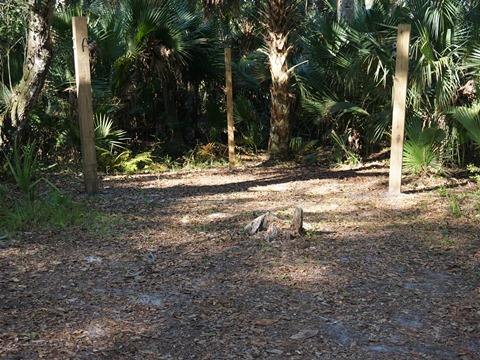
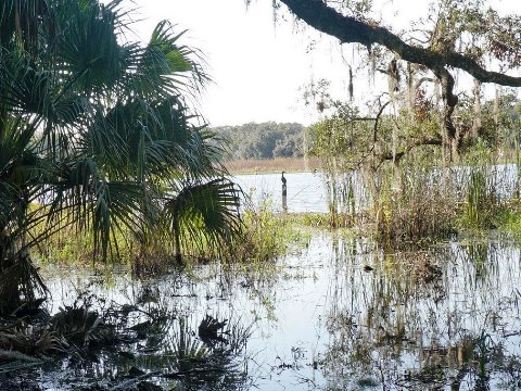
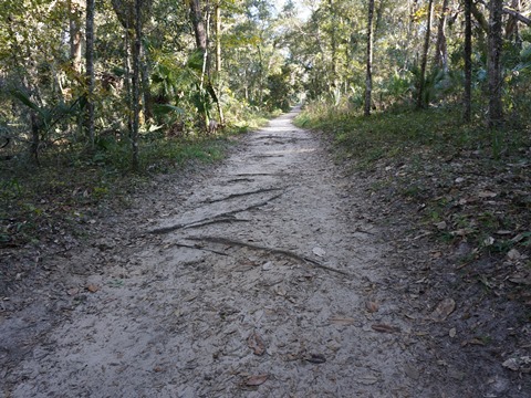
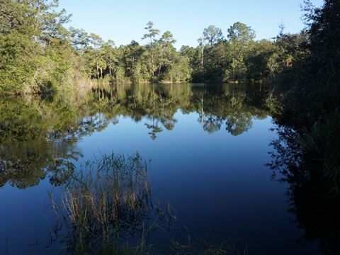
Part of the Main Hiking Trail, this is a scenic 1/2 mile hike from the parking area at Sand Lake Trailhead. A paved path leads from the trailhead to the restrooms and the Loop continues from there. Or, as we did, at the end of the parking lot is a fence, go past that onto the trail. We hiked around the lake, then looping back to the restrooms and return to parking. This has both shaded and unshaded sections. We saw some bike tire marks in the sand, but this is not our type of eco-biking - too sandy and rooted.
Volksmarch Trail
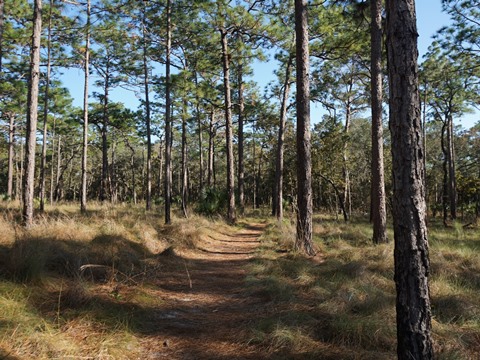
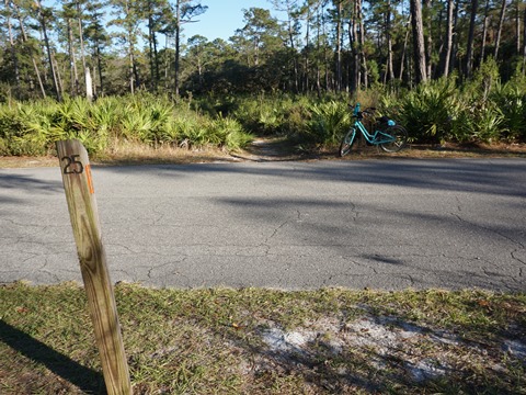
The Volksmarch Trail (orange blaze), 5.3 miles, starts near the Spring (Marker #1) and parallels the Main Park Road for about a mile. At Marker #2, it crosses the main park road and starts a loop. This portion runs through pinelands, passing the main campground, the Youth Camp and Lake Prevatt (Markers #3-9) - deer are often seen here. At Marker #10 is a junction with the biking trail, continue to #30 where they split. Follow the orange blazes past Markers #29-25. At Marker #25, Volksmarch Trail again crosses the Main Park Road and returns to the Spring. Note: Portions of the trail overlap with other hiking (white blaze), biking (red blaze), and equestrian (green blaze) trails. At points where they diverge, watch the color blazes to be sure of which trail you're on.
The name "Volksmarch" come from "volkssport," (German for "sport of the people"), a type of non-competitive fitness walking developed in Europe in the 1960's. Learn more at the American Volkssport Association .
Wekiva Springs State Park
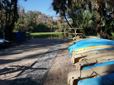
Wekiva Spring is the main attraction here, a popular destination for swimming and snorkeling. The park also has camping, fishing, paddling, horseback riding, a playground, restaurant and concession. Part of the Great Florida Birding & Wildlife Trail, there is an abundance of wildlife including many varieties of birds, deer, bears, bobcats, gopher tortoises, wild turkeys and more. Kayaks and canoes are also available for rent at the concession, nearby is the launch to Wekiva Springs Run, start of the Wekiva River. Pets are allowed, must be leashed per state park pet policy .
More Information and Resources
Nearby Biking:
Seminole-Wekiva Trail
West Orange Trail
Central FL Region
- More trails plus Regional Overview map
Nearby Paddling:
Related Resources:
Find Trails by FL Region or Listed A - Z

100FloridaTrails.com... 100+ Florida Multi-use Bike Trails, Best for Safe, Fun Recreation and Fitness
Other Websites:
BikeOrlando.net
PaddleFlorida.net
BikeTripper.net
Copyright © 100FloridaTrails.com. All Rights Reserved.
