100 Florida Trails®
Top FL Multi-use Bike Trails
Map Links & Photos Galore
Coast-to-Coast Updates
You are here > Home >
Trails >
Central Florida >
Coast-to-Coast SR 50 Gap
Latest update: January 2026
FL Coast-to-Coast Trail, Navigating the Gap
Alternate Routes for the 17-mile Gap along SR 50
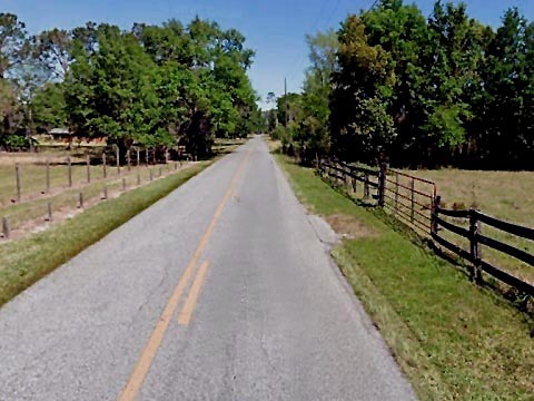
The SR 50 Trail section of the Florida Coast-to-Coast Trail is under construction as part of a road widening project. To date, 11 miles are complete from the juncture with the Withlacoochee State Trail in Ridge Manor (Hernando County) to Webster (Putnam County). Then a 17-mile gap remains to the South Lake Trail in Groveland (Lake County) until construction is complete. In order to avoid biking along busy SR 50 with high-speed traffic, alternate routes around this gap are available, running along secondary and country roads.
From west to east, we viewed two of the routes.
- Gap Option 1 - North route - 25 miles
- Gap Option 2 - South route (Green Swamp) - 29 miles
Note: On either, there are limited facilities along the way so bring water and other needed supplies.
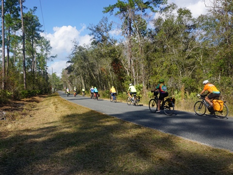
Navigating the Gap (17 miles)
Gap Option 1 - North route - 25 miles
See Map (Gap Option 1 - highlighted in Orange)
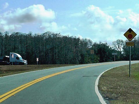
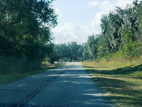
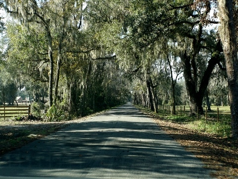
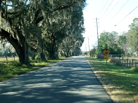
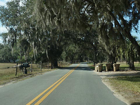
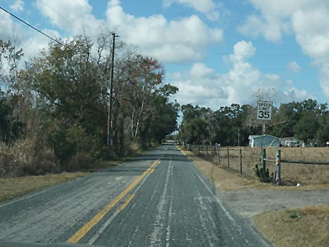
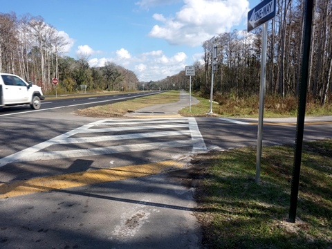
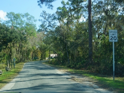
This route starts off SR 50 at C478A, about 3/4 mile before the paved trail ends. The route is fully paved on county roads. Though it includes some short sections biking on SR 50, this is our preferred route due to the scenic roads and some access to facilities. These roads do not have bike lanes or shoulder but are mostly quiet, with low traffic. Stay alert for vehicles passing, and be careful at road crossings.
* Some notes along the way:
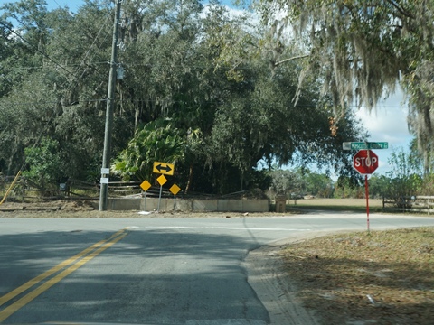
- Crossing SR 50 onto C478A there is no crosswalk, so be very careful.
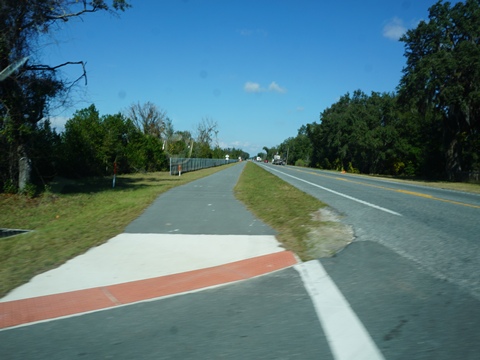
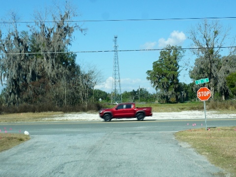
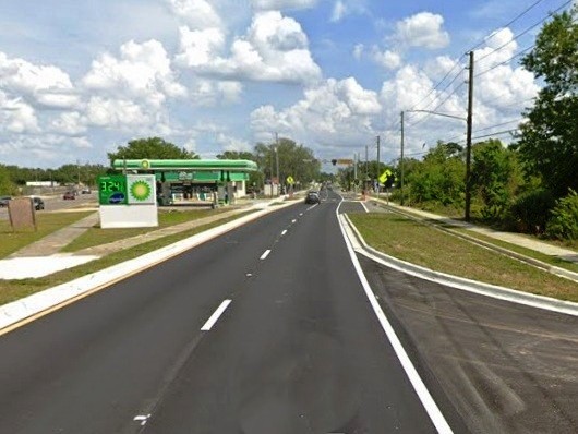
- SR 471 can be busy, cross carefully. The South Sumter Connector Trail along SR 471 runs north to Webster, about 1.75 mile for food and restrooms.
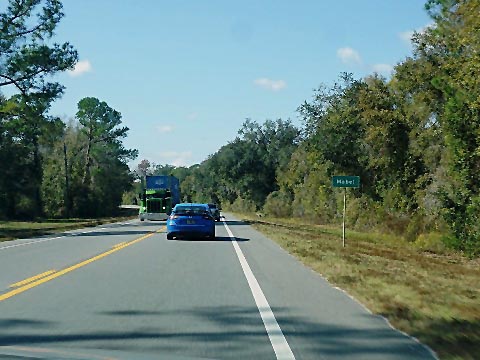
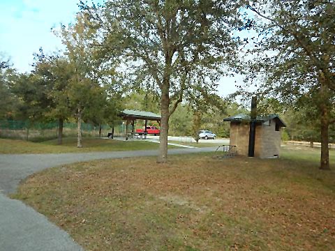
- The Mabel Trailhead of the Van Fleet State Trail has restrooms, water, and picnic pavilion.
- From the Mabel Trailhead, CR 772 exits onto SR 50. Ride on the shoulder for 1.5 mile to Sloan's Ridge Rd.
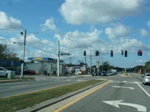
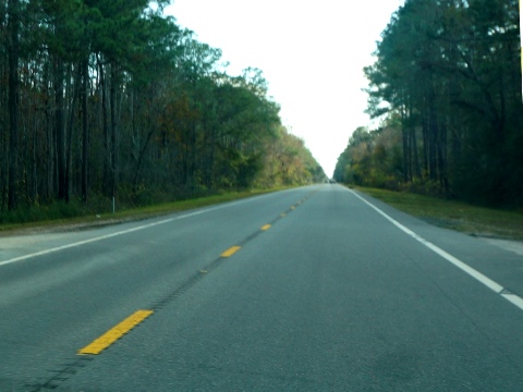
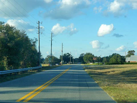
- This route returns to SR 50 at Mt. Pleasant Rd. in Groveland - follow SR 50 east. Traffic can be heavy so we recommend using the sidewalks where available, being careful at road and business crossings.
Gap Option 2 - South route (Green Swamp) - 29 miles
See Map (Gap Option 2 - highlighted in Blue)
This route starts off SR 50 at Richloam Claysink Rd., about 3 miles east of US 301. We did not prefer this route for two main reasons:
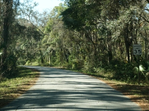
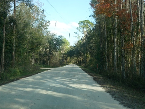
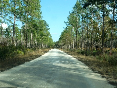
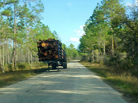
- The first 16 miles to the Van Fleet State Trail runs through the Green Swamp. This is a more remote area with no facilities. The packed limestone roads can be rough - not best for road bikes. Not many vehicles here, but there were active logging trucks.
- The second 11 miles from the Van Fleet State Trail to SR 50 in Groveland includes paved roads that can get busier, but no shoulder to ride on.
* Some Notes along the way
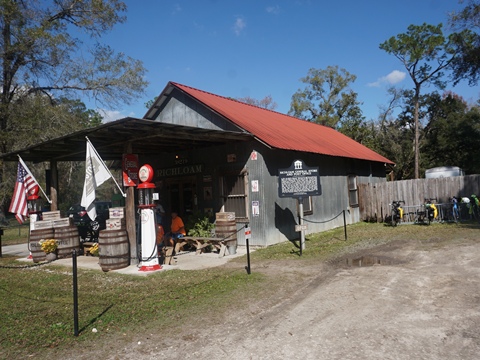
- The historic Richloam General Store, about 1/2 mile, is a fun stop to explore an old-time store. Snacks and a porta-pottie are available.
- The Bay Lake Trailhead of the Van Fleet State Trail has restrooms and picnic pavilion.
- Past the Bay Lake Trailhead eastbound, this route is on paved roadways but no shoulder or bike lane. It includes 6 miles on South Bay Lake Rd. (CR 565) which can be busy.
- From where the route meets Carter Jones Rd. in Groveland, the route overlaps Gap Option 1, returning to SR 50 at Mt. Pleasant Rd.
- Follow SR 50 eastbound. Traffic can be heavy so we recommend using the sidewalks where available, being very careful at road and business crossings.
Find Trails by FL Region or Listed A - Z

100FloridaTrails.com... 100+ Florida Multi-use Bike Trails, Best for Safe, Fun Recreation and Fitness
Other Websites:
BikeOrlando.net
PaddleFlorida.net
BikeTripper.net
Copyright © 100FloridaTrails.com. All Rights Reserved.