100 Florida Trails®
Top FL Multi-use Bike Trails
Map Links & Photos Galore
Coast-to-Coast Updates
You are here > Home >
FL Eco-biking >
Bluegill Trail
Reported: March 2022
Bluegill Trail... Eco-biking in Southeast FL
Bike Trail on Canal Levee, Palm Beach County
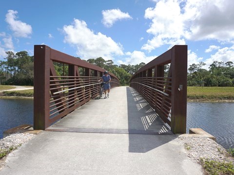
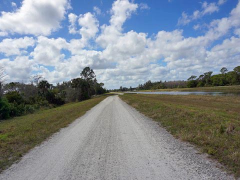
This 9-mile trail along the C-18 Canal levee runs from Riverbend Park to Grassy Waters Preserve in Palm Beach Gardens. We discovered it while exploring Riverbend Park and rode a portion near the Park - we plan a future visit to see more. The trail is part of the "Jeaga Wildways" - an initiative in Palm Beach and Martin Counties utilizing conservation lands for outdoor recreation (more below). Bluegill Trail connects 4 Jeaga Wildways areas: Riverbend Park, Loxahatchee Slough Natural Area, Sandhill Crane Access Park, and Grassy Waters Preserve. Along the trail are a shaded shelter, an overlook, fishing pier, and 2 information kiosks. Three Parks along the trail provide restrooms and other amenities.
Location: Palm Beach County (Palm Beach Gardens)
End Points: Riverbend Park to Grassy Waters
Preserve (C-18 Canal)
Mileage: 9 miles
Surface: Crushed shell, stone, some asphalt
Nearby points of interest: Riverbend Park,
Loxahatchee River Battlefield Park
Page Summary:
- Eco-biking on the Bluegill Trail
- Riverbend Park Trailhead
- Bluegill Trail near Riverbend Park - Jeaga Wildways
- More Information and Resources
Eco-biking on the Bluegill Trail... Comments and Photos
A 6-mile section of trail between Riverbend Park and Sandhill Crane Access Park (at PGA Blvd.) is 10' wide unpaved composite, best for fat tires. A 2-mile section from Sandhill Crane Access Park to Northlake Blvd. (at Bee Line Highway) is 12' wide, paved multi-use trail. Along Northlake Blvd., the trail runs another 1 mile on a sidewalk to Grassy Waters Preserve.
Riverbend Park Trailhead
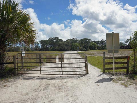
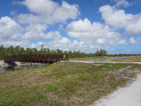
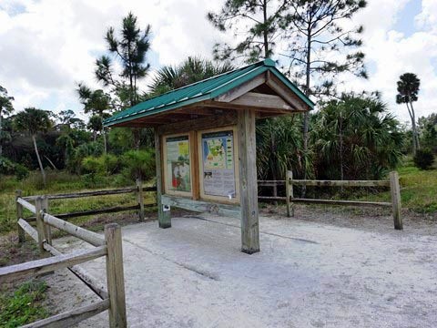
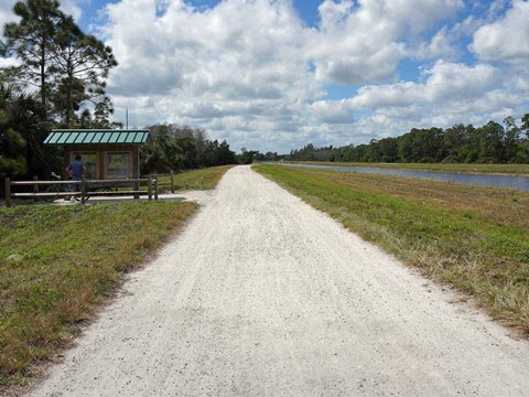
Exiting Riverbend Park to the south is the C-18 Canal. A bridge here crosses the canal - staying on the west side of the canal, the Pantano Trail runs 10 miles southwest. The Bluegill Trail is across the bridge on the east side of the canal. The trailhead has an information kiosk, but no other facilities (visit Riverbend Park for restrooms and other amenities).
Bluegill Trail near Riverbend Park
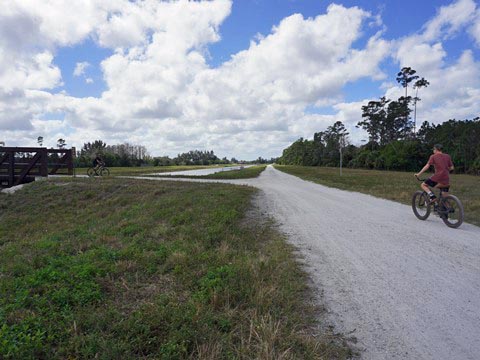
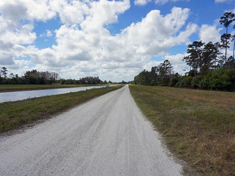
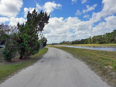
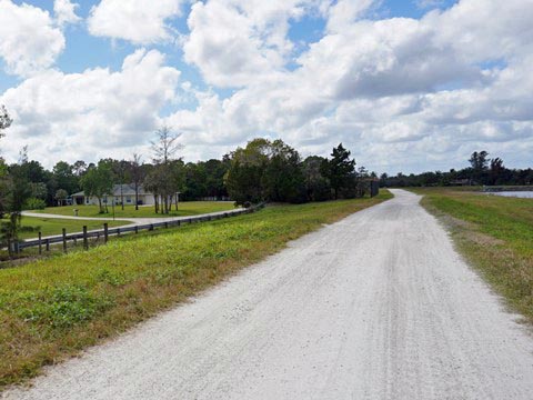
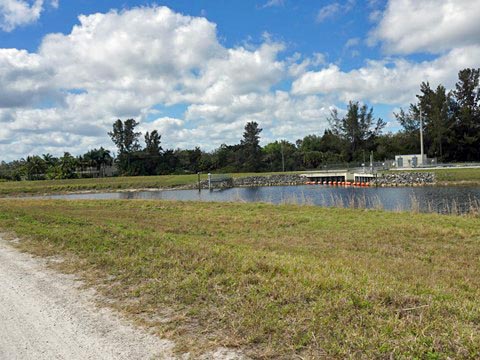
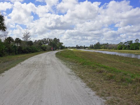
The surface here is somewhat rough and best on fat tires, but overall a bikeable canal trail. The pros: unlike many other canal trails, this is not near a road so it's quiet. The cons: like most canal trails, the scenery doesn't change much and there's little or no shade. This section runs through the Palm Beach Country Estates development, homes can be seen trailside. Water control structures are situated at regular intervals along the canal. The grass path on the levee next to the trail is used by equestrians.
Jeaga Wildways
Formerly called the "Northeast Everglades Natural Area," this is an interconnected system of natural areas and trails consisting of over 160,000 acres of conservation lands in Palm Beach and Martin Counties. The Jeaga Wildways - named for the Native American Jeaga Tribe that once inhabited the area - incorporates 4 trails (Bluegill, Pantano, Jesup, and Jupiter Indiantown) to connect 10 separately managed sections of public land. Recreational opportunities include 300+ miles of trail for biking, hiking, equestrian, and paddling. Ongoing plans include adding trailheads and other amenities for recreational users.
More Information and Resources
Nearby Biking:
Riverbend Park
Palm Beach Lake Trail
Southeast FL Region -
More trails plus Regional Overview map
Nearby Paddling:
Loxahatchee River at Riverbend Park
Related Resources:
Town of Jupiter - Bluegill Trail
Palm Beach County -
Bluegill Trail
Palm Beach County - Jeaga Wildways
Find Trails by FL Region or Listed A - Z

100FloridaTrails.com... 100+ Florida Multi-use Bike Trails, Best for Safe, Fun Recreation and Fitness
Other Websites:
BikeOrlando.net
PaddleFlorida.net
BikeTripper.net
Copyright © 100FloridaTrails.com. All Rights Reserved.
