100 Florida Trails®
Top FL Multi-use Bike Trails
Map Links & Photos Galore
Coast-to-Coast Updates
You are here >
Home >
FL Eco-biking >
Lake Norris Conservation Area
Reported: January 2021
Lake Norris Conservation Area... Florida
Bike, Hike, and Paddling Access to Blackwater Creek and Lake Norris
The 2,229 acre Conservation Area provides protection for the Lake Norris hardwood swamp and Blackwater Creek, a major tributary of the Wekiva River. Activities include hiking, biking, birdwatching, fishing, paddling, and camping. Wildlife include black bear, deer, otter, gopher tortoises, burrowing owls and a large osprey population. Lake Norris Trail is designated "multi-use" for hiking, biking and horseback riding. Formerly site of the Eustis Sand Mine, a large portion of the property is closed for mitigation/restoration. (Map link and photos below.)
Location: Lake County (Eustis)
Trailheads: East Trailhead (Blackwater Creek Rd.),
South Trailhead (Hart Ranch Rd.)
Mileage: 5.5 miles one-way (in 3 continuous blazed trails)
Surface: Packed dirt, grass, sand
Nearby Points of interest: Blackwater Creek,
Lake Norris
Bike Shops/Rentals:
N/A
Eco-biking and Hiking at Lake Norris Conservation Area... Comments and Photos
The agency map shows trails totaling 5.5 miles. However, much of this distance is best suited for hiking, horseback riding, or (hardcore) mountain biking, due to long stretches of deep sand. Winter is best - more birds, fewer bugs, drier weather. Tranquil, typically few if any people. Admittedly not a lot of hard trail here, but visitors to nearby Seminole State Forest (one of the best for eco-biking!) might consider a side trip to Lake Norris Conservation Area to add one more real Florida experience.
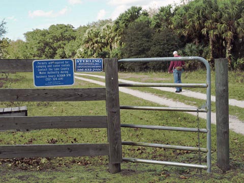
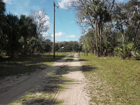
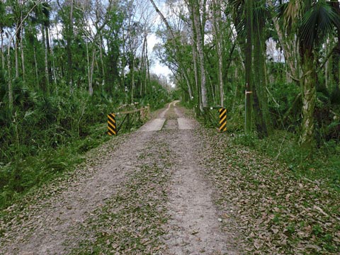
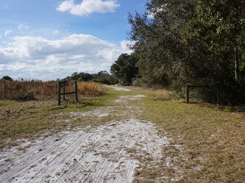
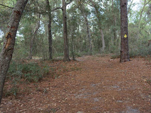
East Trailhead and Blackwater Creek
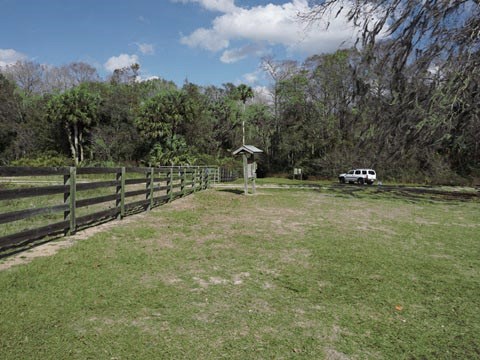
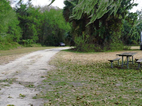
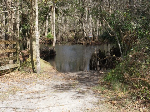
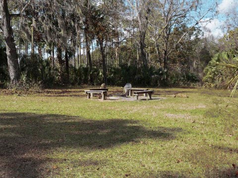
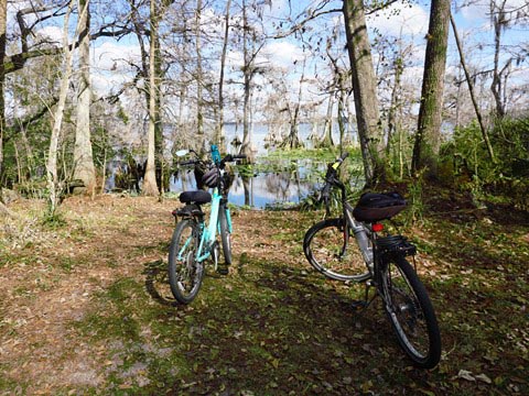
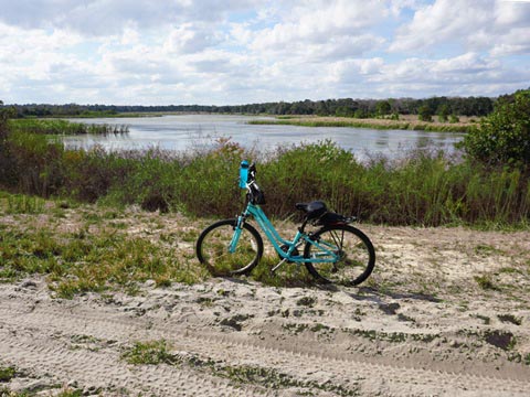
We parked at the East Trailhead near Blackwater Creek. From Lake Norris Road, the trailhead is off Blackwater Creek Road - parking, picnic table, and paddling launch, no other amenities. A popular activity from this trailhead is paddling; there's a hand-launch onto Blackwater Creek to Lake Norris (see paddling link, below).

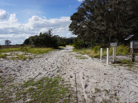
White Blaze Trail, Camping Area
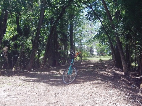
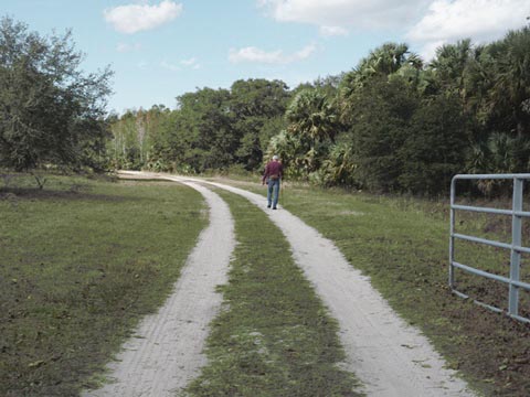
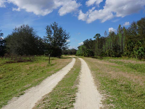
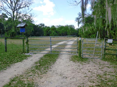
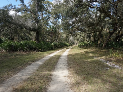
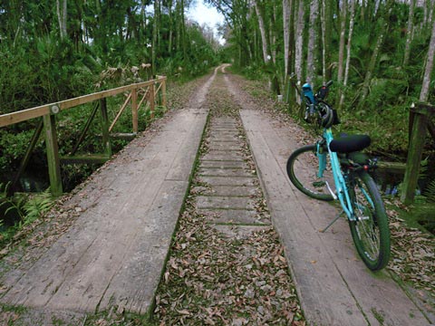
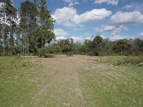
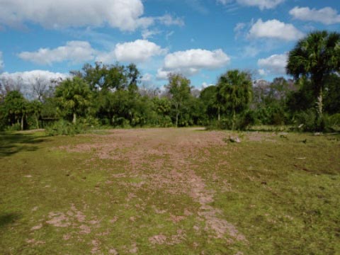
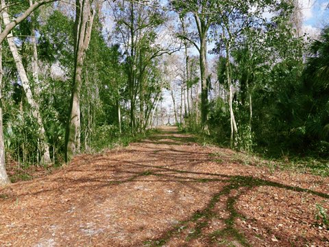
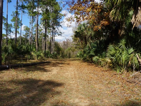
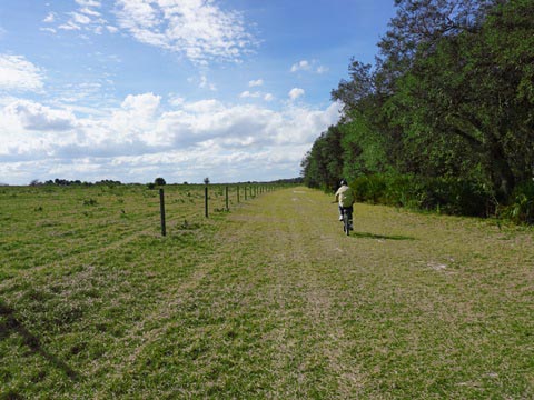
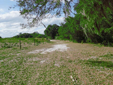
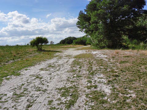
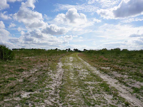
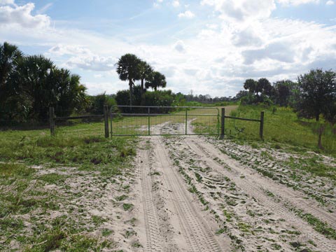
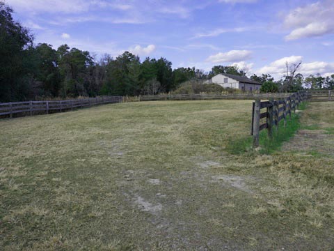
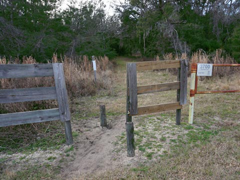
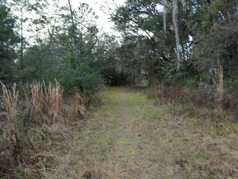
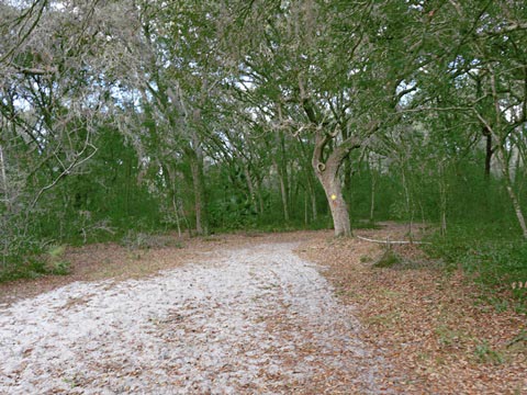
Best for eco-biking is the first 2.3 miles of the 2.8 mile White blaze trail, beginning from the East Trailhead (by Lake Norris, grass parking, no amenities). Leaving the Trailhead, go through the gate (by the information kiosk) onto the trail through a pasture area. Proceed about 4/10 mile to a second, latched gate to continue to the camping area. The first 1.3 miles to the group camping area is excellent, mostly hard packed, passing through hardwood hammock, and across a small creek. Past the camping area, the trail opens up along a field and fence line, the surface being just grassy enough for us to continue for another mile, to a scenic lake by a former sand mine (4.6 miles round-trip).
White Blaze Trail to Camping Area
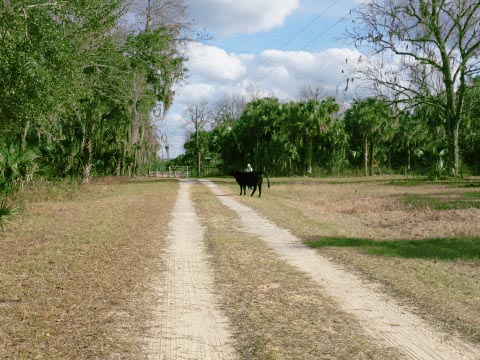
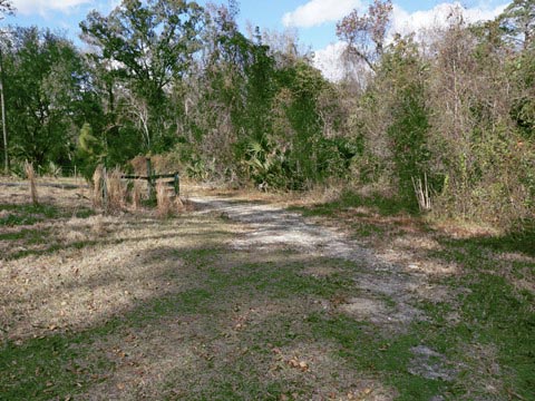
At the second latched gate, a sign warns of cows in the pasture. (We encountered one small bull that escaped and showed up on the trail for a photo.) We continued along the White Blaze trail alternating on dirt and grass, to the camping area. Starting out through a pasture, the trail then enters the nicest section - through wetlands with some shade and scenery, and including a scenic view from a bridge over a creek. Approaching the camping area, the trail emerges back onto pasture.
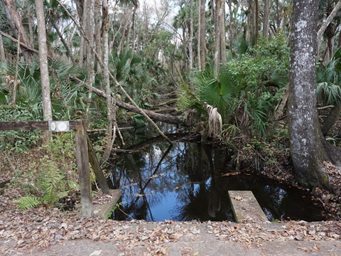
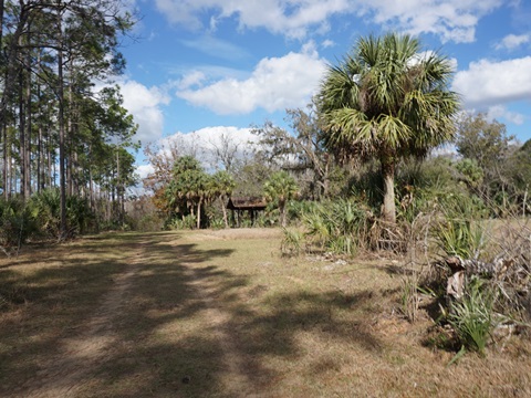
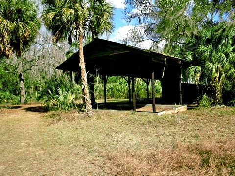
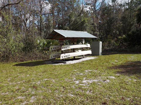
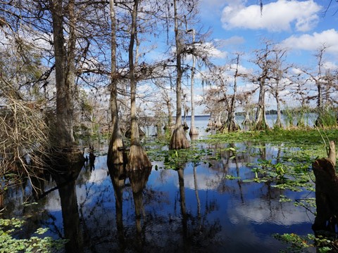
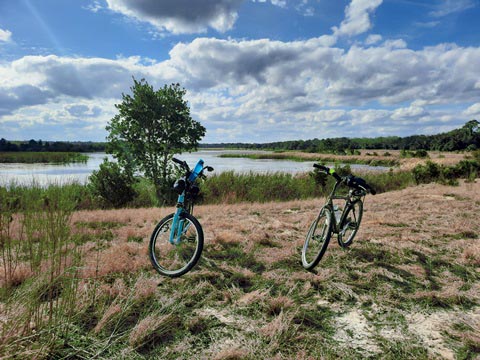
Group Camping Area and Lake Norris Access
At the camping area are a picnic pavilion, canoe rentals and launch - no other amenities. Nice view of Lake Norris, with dwarf cypress dominating the shoreline on both sides of the launch point.

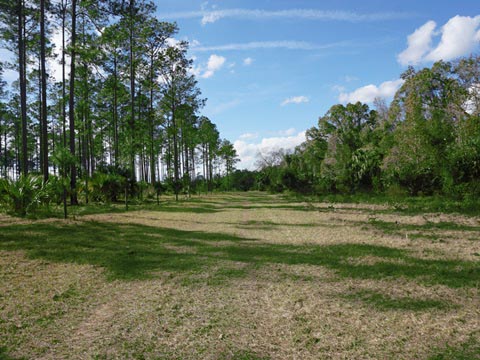
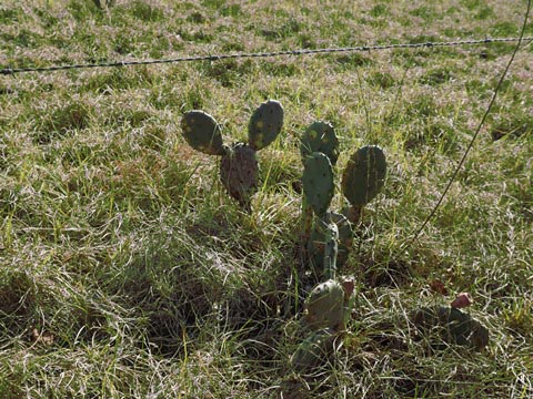
Camping Area to Mitigation Area
Leaving the camping area, the trail changes to grass and skirts a fence along a pasture (mitigation area). We walked a short portion here along the fence line looking for "Hidden Mickeys" among the many small cactuses in the field.
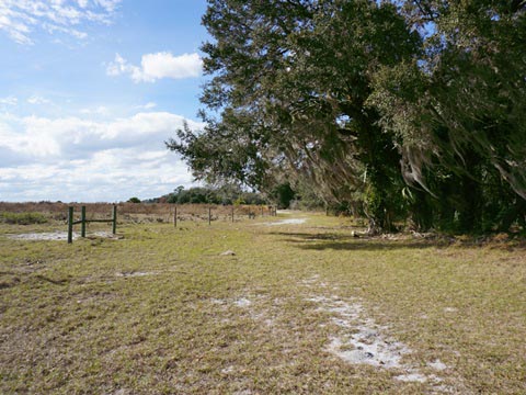
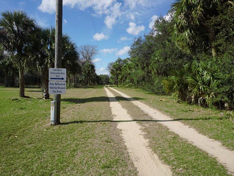
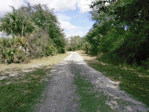
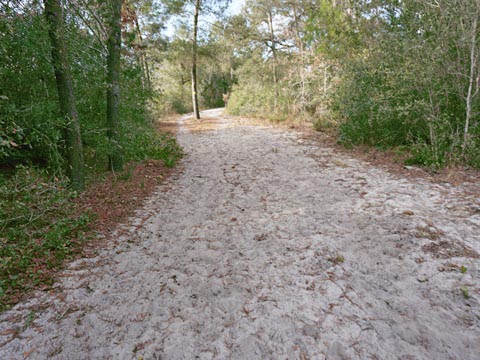
Red Blaze Trail, Mitigation Area
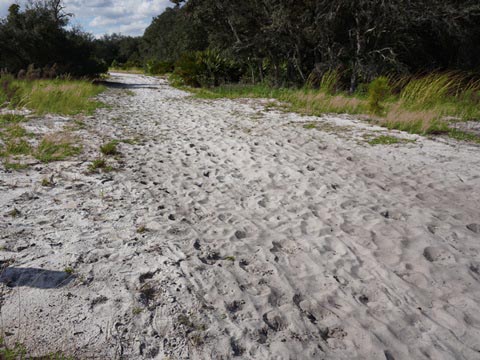
After passing through a former gate, the trail becomes far more sandy shortly before merging with the Red Blaze trail. The deep sand here is best for equestrian activities. Turning left at the point where the sand starts, we walked our bikes uphill to a bluff and were rewarded with a scenic lake view, most likely a remnant from the sand mine operation. The lake was full of birds and one of the prettier sights on the trail. A locked gate here blocks access to the mitigation area. From here, we decided that we had enough of the sand, turned around and returned to the east trailhead - about 4.6 miles round-trip.
South Trailhead, Yellow Blaze Trail
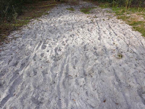
From the South Trailhead on Hart Ranch Road, the gate to the park road is locked due to ongoing maintenance/mitigation. We hiked a portion of the Yellow Blaze trail from the trailhead. Due to sand, this is better for hiking, though we did see some bike tracks in the sandy trail.
More Information and Resources
Nearby Biking:
Seminole State Forest (eco-biking
and hiking)
Spring-to-Spring Trail
Central FL Region
- More trails plus Regional Overview map
Nearby Paddling:
Blackwater Creek at Lake Norris Conservation Area
Related Resources:
St. Johns River Water Management Area - Lake Norris Conservation
Area
Trail Guide, Lake Norris Conservation Area
Find Trails by FL Region or Listed A - Z

100FloridaTrails.com... 100+ Florida Multi-use Bike Trails, Best for Safe, Fun Recreation and Fitness
Other Websites:
BikeOrlando.net
PaddleFlorida.net
BikeTripper.net
Copyright © 100FloridaTrails.com. All Rights Reserved.