100 Florida Trails®
Top FL Multi-use Bike Trails
Map Links & Photos Galore
Coast-to-Coast Updates
You are here > Home >
Trails >
Central Florida >
Spring-to-Spring Trail
Latest update: March 2022
Spring-to-Spring Trail... Florida
Volusia County Biking - Connects Trail Networks, Springs, and Parks
Serving as part of the FL Coast-to-Coast Trail and St. Johns River-to-Sea Loop, when finished the Spring-to-Spring Trail will total about 30 miles. Currently, 27 miles are complete with one gap remaining. Starting from Lake Monroe Park in DeBary, the trail runs north and then splits into two legs, continuing north through Orange City, Deland, Glenwood and DeLeon Springs, and running east through Enterprise and Deltona. Giving this scenic trail its name, it connects many springs and parks, including Lake Monroe Park, Gemini Springs Park, DeBary Hall Historic Site, and Green Springs Park (east leg), and Rob Sullivan Park, Blue Springs State Park, Lake Beresford Park, and DeLeon Springs State Park (north leg). (Detailed map and photos below.)
Location: Volusia County
End Points: DeBary to Deltona (east);
DeBary to DeLeon Springs (north, 1 gap)
Mileage: 27 miles to date, 30 miles when complete
Surface: Asphalt, 8-12' (short section through Glenwood on roadway, or use sidewalk)
Trailheads/Parking: Section 1: Lake Monroe
Park, Gemini Springs North Trailhead, Section 2 (north leg): Rob
Sullivan Park, Blue Springs State Park, Lake Beresford Park, Fichter
Trail Rest (Glenwood), Chuck Lennon Park (DeLeon Springs), DeLeon
Springs State Park. Section 3 (east leg):
Gemini Springs Park, DeBary Hall, Thornby Park, Green Springs Park.
(See map)
Nearby points of interest: DeBary Hall, Lake Monroe Park, Gemini Springs Park, Blue Spring State Park, Lake Woodruff National Wildlife Refuge, DeLeon Springs State Park
Bike Shops / Rentals:
Deland Cyclery
(Deland)
JC's Bike Shop
(Deland)
Page Summary:
- Biking the Spring-to-Spring Trail
- Section 1: Lake Monroe Park to Gemini
Springs North Trailhead
- St. Johns River Bridge to Lake Monroe Park Trailhead
- Lake Monroe Park to Dirksen Drive - Section 2: North Leg, DeBary to DeLeon Springs State Park/US17
- Gemini Springs North Trailhead to Rob Sullivan Park
- Rob Sullivan Park to Lake Beresford Park
- Lake Beresford to Grand Ave. (Glenwood) (gap)
- Grand Ave. to DeLeon Springs State Park - Section 3: East Leg, DeBary to Green Springs Park
- Gemini Springs to Mansion Blvd./.DeBary Hall
- Mansion Blvd. to Green Springs Park - More Information and Resources
Biking the Spring to Spring Trail... Comments and Photos
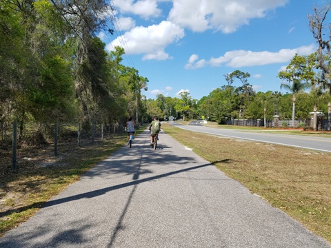
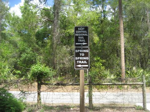
Used by both recreational and long-distance bikers, hikers, joggers, and skaters, the Spring-to-Spring Trail can meet most riding interests and styles from natural areas and parks, to suburban roadways, to open straightaways. As part of the Florida Coast-to-Coast Trail, it connects across the St. Johns River to the Cross Seminole Trail (south) and East Central Regional Rail Trail (east). As part of the St. Johns River-To-Sea Loop, it connects to US 17 near DeLeon Springs State Park (north), and the East Central Regional Rail Trail (east). We explore the trail in three sections.
Section 1: Lake Monroe Park to Gemini Springs North Trailhead
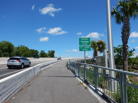
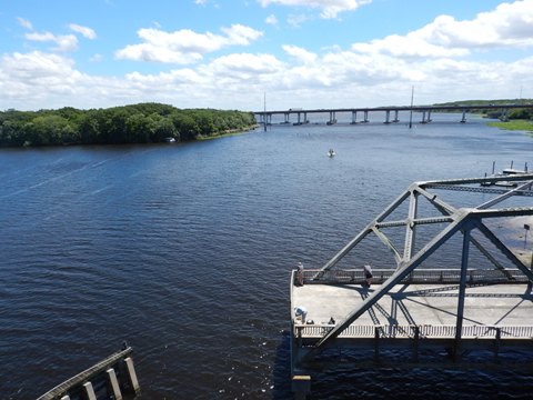
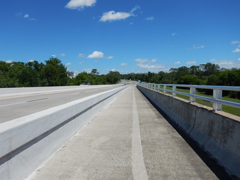
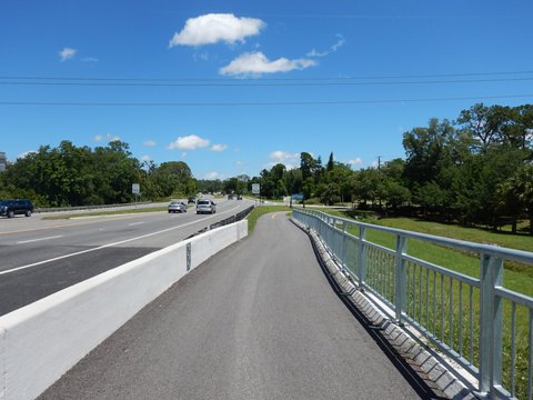
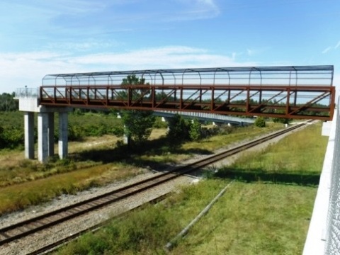
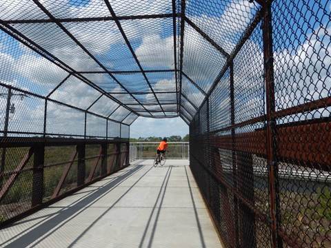
At Lake Monroe Park in DeBary, a shared-use lane (about a half mile, separated from the road by a concrete barrier) spans the St. Johns River bridge, connecting to the Cross Seminole Trail at Wayside Park in Sanford as part of the Florida Coast-to-Coast Trail.
St. Johns River Bridge to Lake Monroe Park Trailhead (0.4 mile)
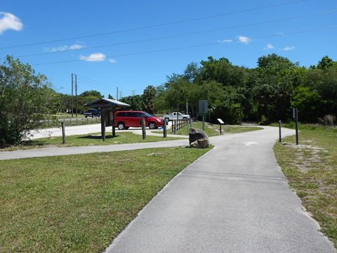
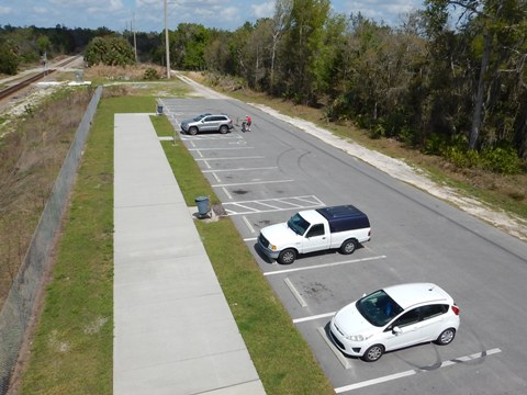
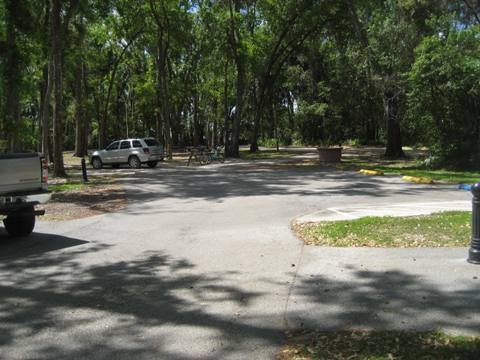
At the end of the bridge, the trail crosses the entry to Lake Monroe Park and continues on a short loop to Old Deland Road. It then parallels the road to the trailhead (parking, restrooms, picnic, fix-it-station). From the trailhead is also a link into the park, with additional parking, restrooms, picnic, playground, boardwalk, boat ramp, and fishing.
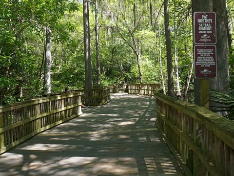
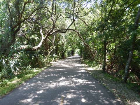
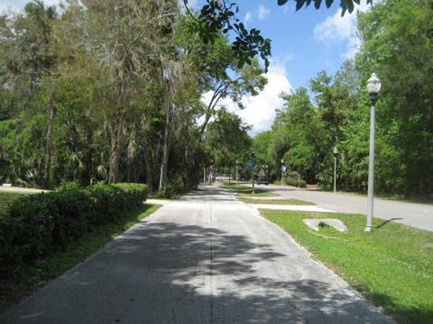
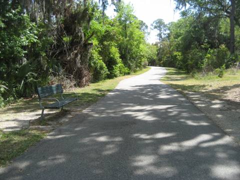
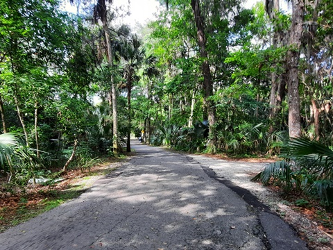
Lake Monroe Park to Gemini Springs North Trailhead - 2.5 miles
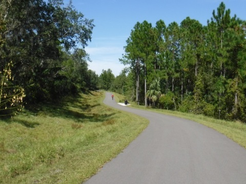
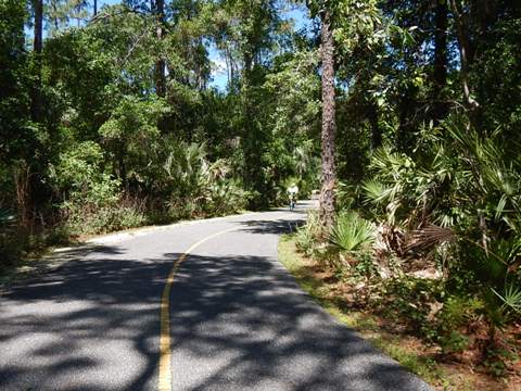
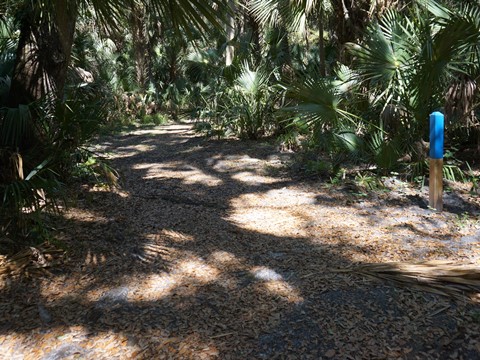
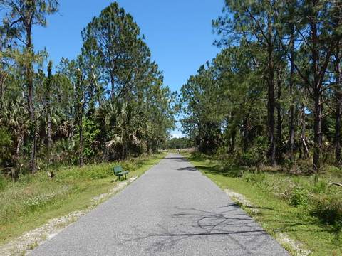
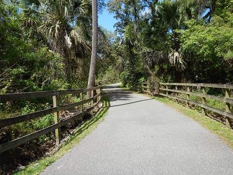
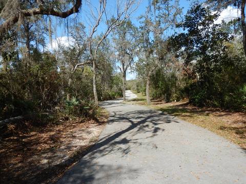
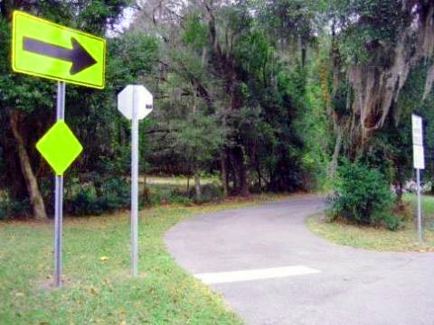
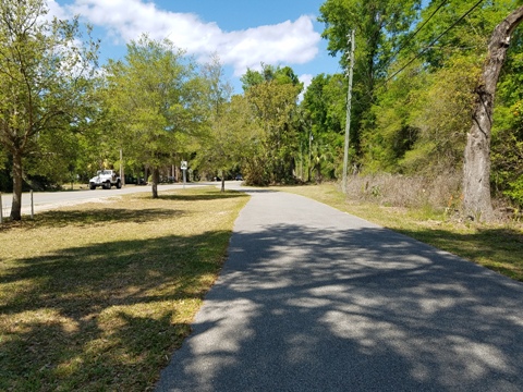
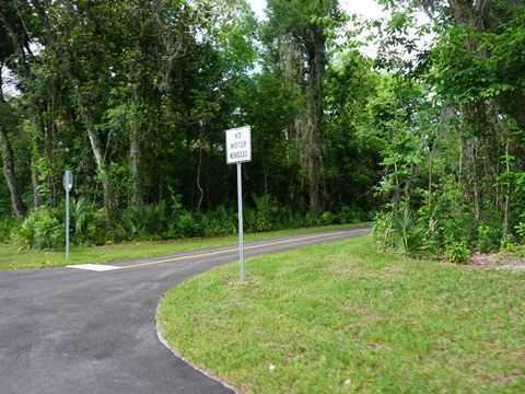
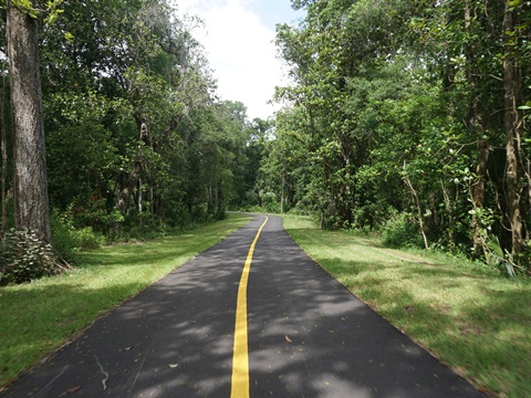
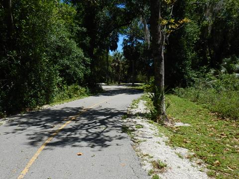
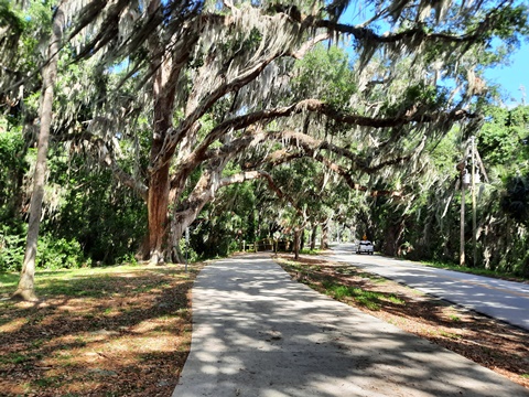
From the Lake Monroe Park trailhead, the trail (this section also called the Pat Northey Pathway) is an scenic ride, meandering through diverse habitat that includes cypress swamp, oak/palm hammock, pine stand, and prairie to Dirksen Drive and the Gemini Springs North Trailhead (parking only). This section also intersects several hiking trails - we biked a short distance on the "blue" trail, but found many roots plus sections torn up by wild hogs.
Fun Fact: Pat Northey, a former county commissioner, is locally known as the "Queen of Trails" in recognition of her leadership in trail development.
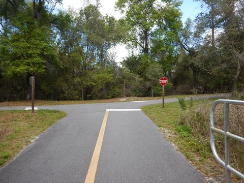
Section 2: North Leg - DeBary to DeLeon Springs
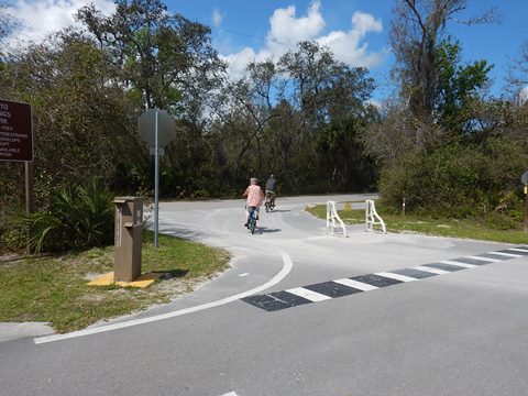
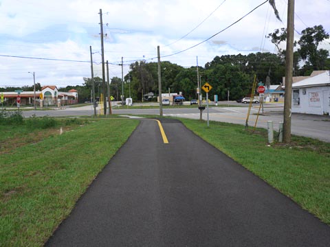
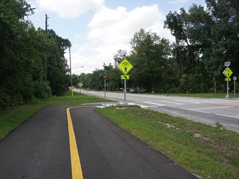
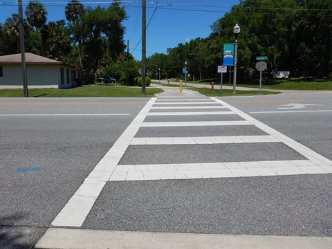
From the point where the trail emerges onto Dirksen Drive at the Gemini Springs North Trailhead (parking only), this leg of the trail runs west alongside Dirksen Drive, crossing US 17-92 and continuing past Rob Sullivan Park, to Blue Spring State Park and Lake Beresford Park. Then another gap exists to Glenwood, where the trail re-starts and continues 7.2 miles to its end at US 17. This leg is part of the St. Johns River-to-Sea-Loop.
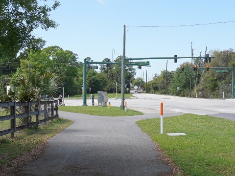
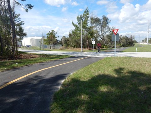
Dirksen Drive to W. Highbanks Road - 3 miles
The newest section, ribbon cutting March 2022
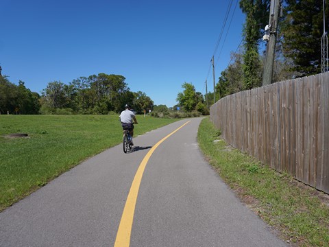
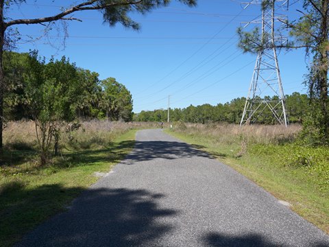
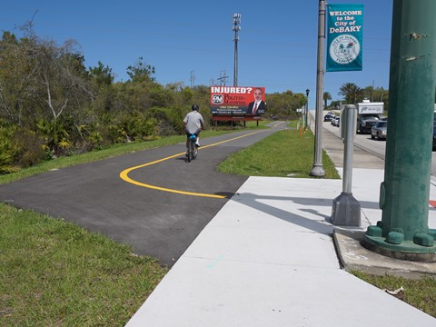
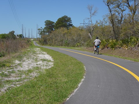
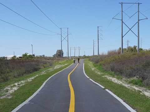
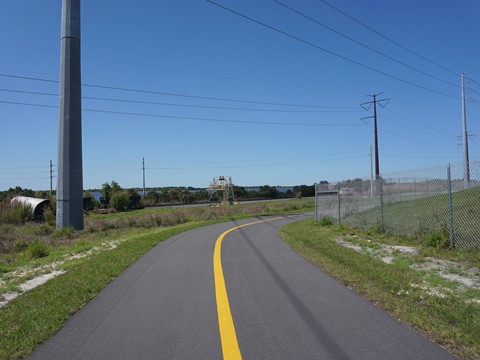
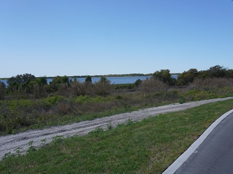
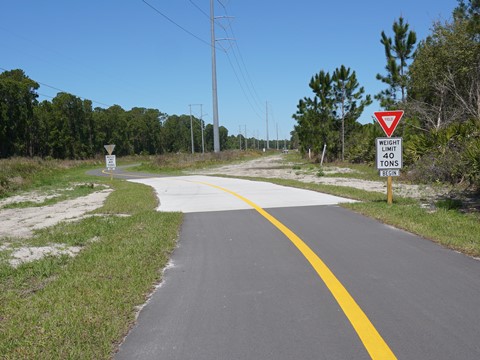
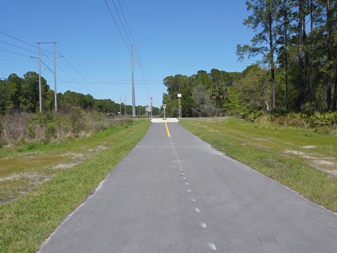
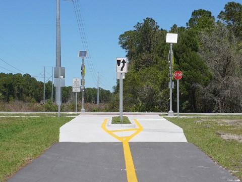
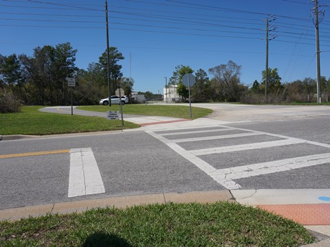
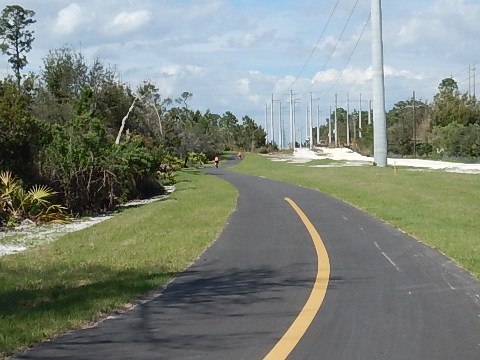
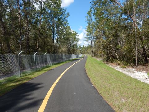
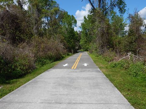
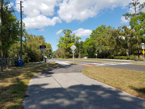
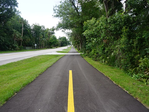
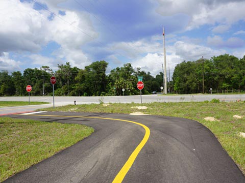
From Gemini Springs North Trailhead, the trail runs west to US 17-92. At the intersection is a double road crossing with very busy roads - use the crossing signals and be very careful! The trail then runs a short distance alongside US 17-92 before turning off onto a power line corridor with one road crossing but several truck crossings. The section running west is through an industrial area with no shade. Curving to the north, the trail parallels a railroad track with some deceivingly scenic views of Konomac Lake (manmade, it serves as a cooling reservoir for a Florida Power & Light electrical plant). Trees line this corridor, but mostly not close enough to provide shade. The gravel path next to the trail is used by utility vehicles, thus the 40-ton weight limit signs. This section ends at W. Highbanks Road.
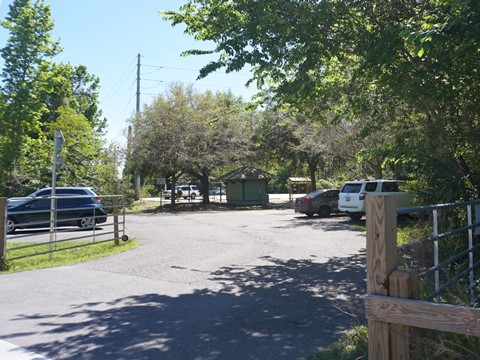
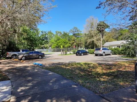
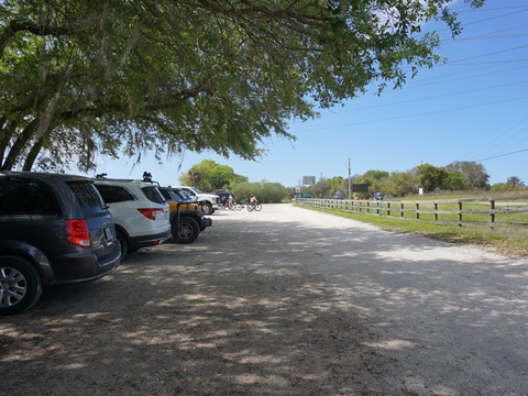
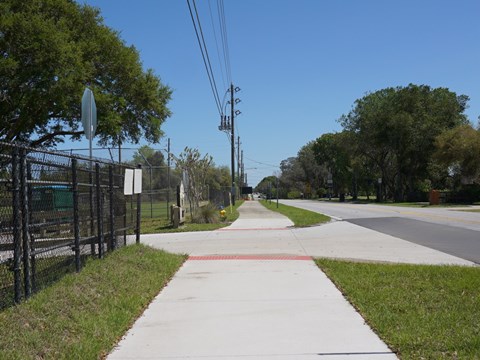
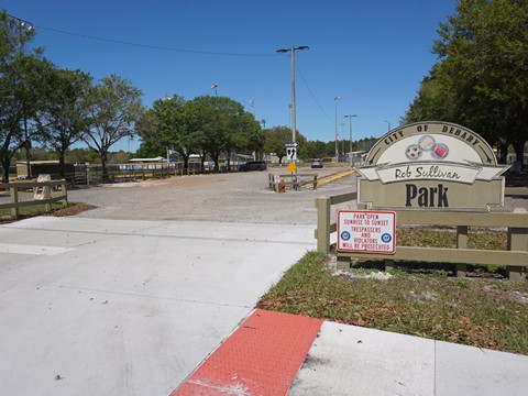
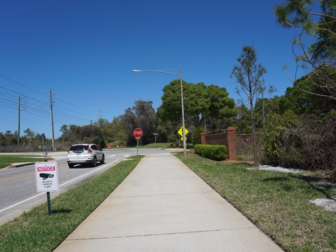
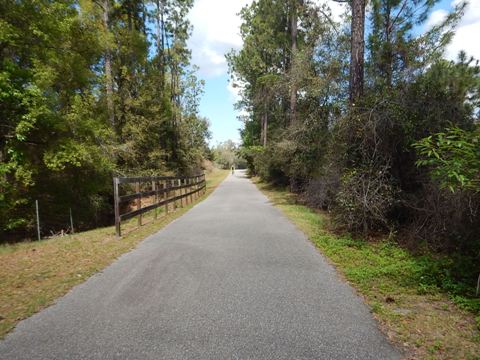
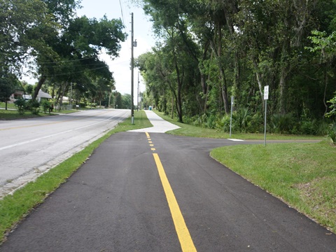
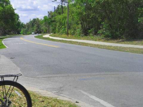
Rob Sullivan Park to DeBary Plantation Blvd. - 2 miles
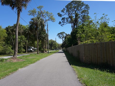
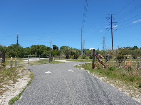
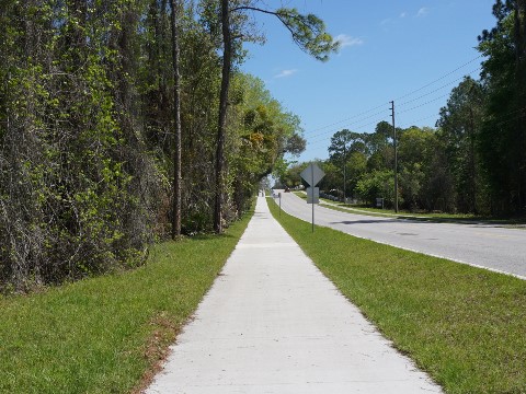
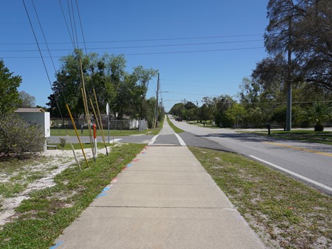
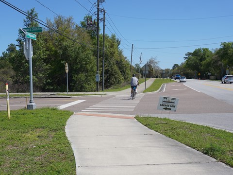
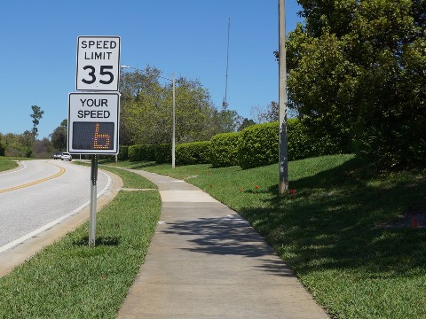
Cross W. Highbanks and go east to Rob Sullivan Park (parking, restrooms, playground, and playing fields, access may be limited depending on athletic event schedules). The trail continues alongside W. Highbanks Road to Donald E. Smith Blvd. Go left (north), past DeBary Plantation (residential/country club community) to DeBary Plantation Blvd. No shade, several residential road crossings along both roads.
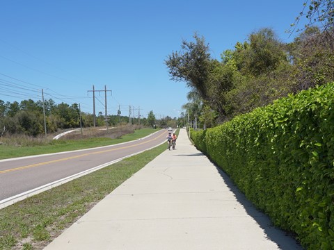
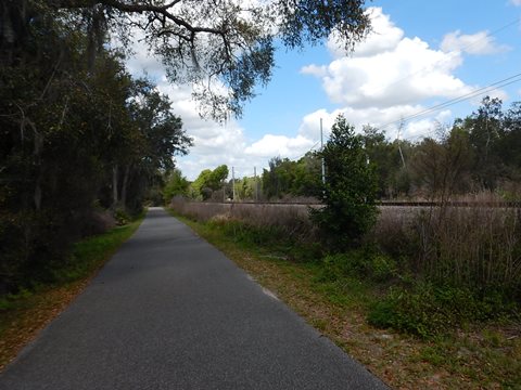
DeBary Plantation Blvd. to Blue Spring State Park - 3.6 miles
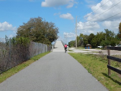
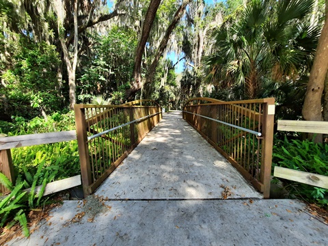
This section starts at the intersection of Donald E. Smith Blvd. and DeBary Plantation Blvd. and runs with no road crossings through a conservation area, then along the railroad track to the trailhead at Blue Spring Ave. in Orange City. At the trailhead, a bridge crosses the track and continues about 1/2 mile to an entry to Blue Spring State Park (fee station).
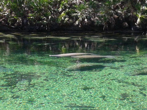
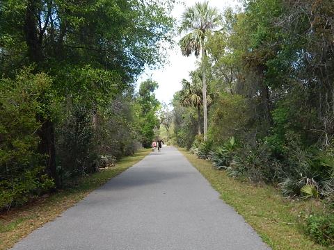
Blue Spring Park to Lake Beresford - 3 miles
The Park entrance off the trail is near the campground, it's about a mile on park roads to the spring. Blue Spring State Park has the largest spring on the St. Johns River and is a designated manatee refuge; parking, restrooms, picnic, camping, kayak/canoe launch, fishing, concession, scuba, hiking and more.
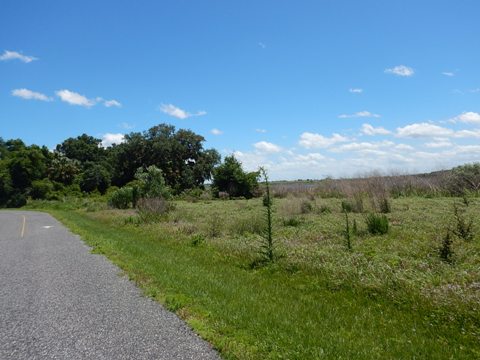
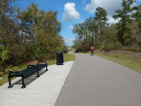
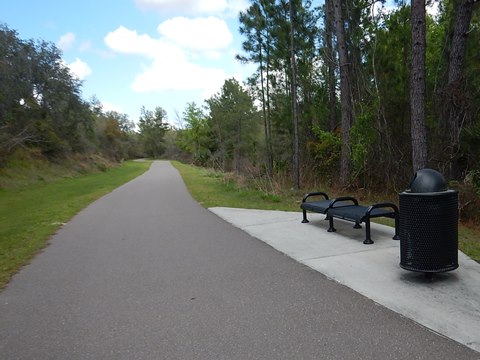
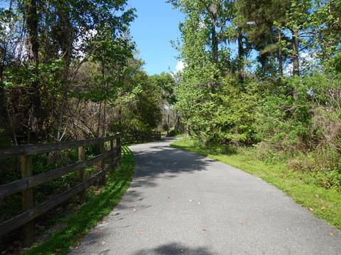
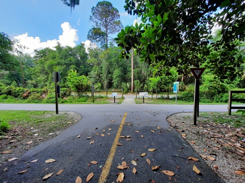
Continuing along the trail is an underpass at French Ave. Past there is a link to the State Park main entrance (turn left). Or, turn right to continue on the trail to Lake Beresford Park. This is an excellent recreational ride past forest, fields, and swamp, linking to the Beresford Trails Loop. This segment parallels the railroad track with a few hills.
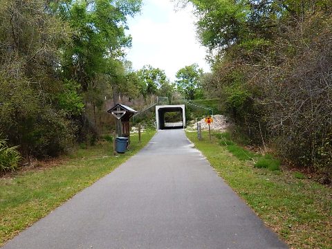
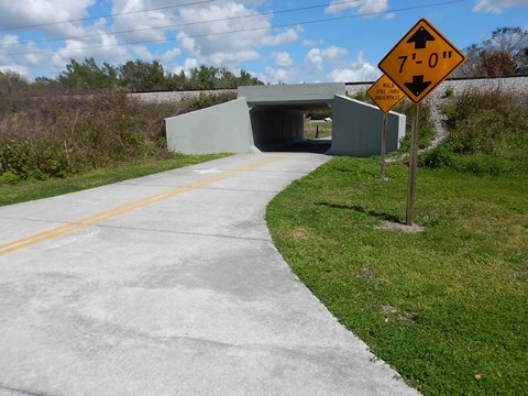
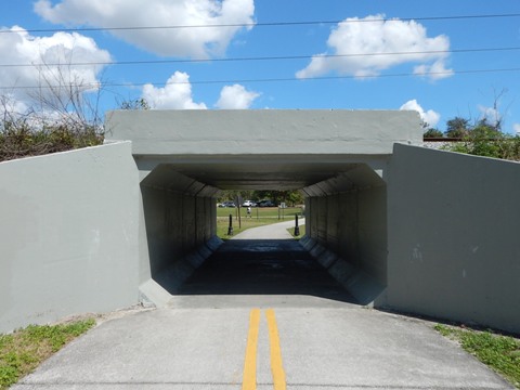
Lake Beresford to Grand Ave. / Gap - 3 miles
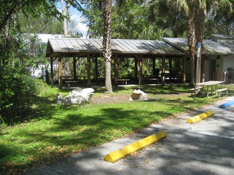
Go through the tunnel under the railroad track to Lake Beresford Park. The park includes parking, restrooms, playground, picnic pavilions, and nature hiking trails. A pretty 1.8 mile paved multi-use trail circles the park.
The trail extends another half mile past Lake Beresford Park, then is a gap to Grand Ave. in Glenwood. The project study has been completed, and design work underway (estimate completion: 2024).
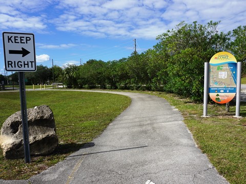
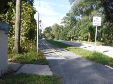
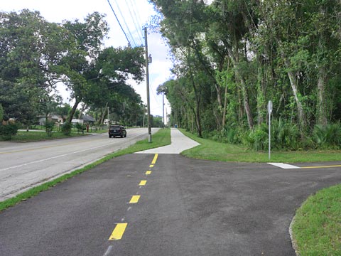
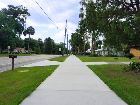
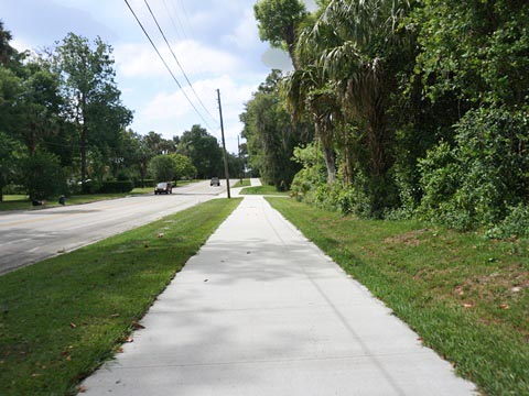
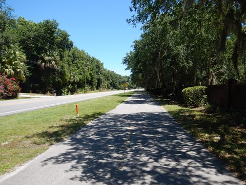
Grand Ave., Glenwood - 6 miles
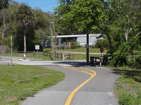
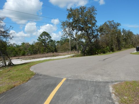
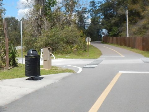
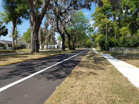
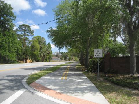
Resuming in Glenwood on Grand Avenue, the trail runs as a paved path along the west side of the road, with the George and Nadine Fichter Trail Rest (parking, picnic pavilion) across the road on Humane Society Road, go to the crosswalk a short distance further to a paved path to the pavilion. At King Street, the paved trail ends - cross to the east side and continue on bike lanes 1.5 miles to Lemon St. (alternatively, there's sidewalk on both sides of the road). The paved trail resumes at Lemon St. Approaching Baxter Street the trail crosses to the west side again.
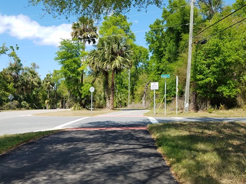
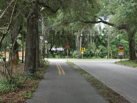
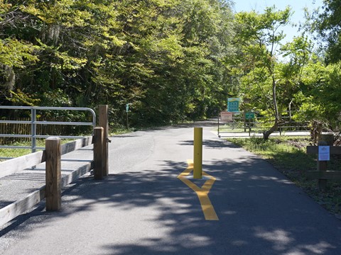
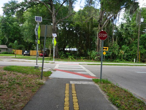
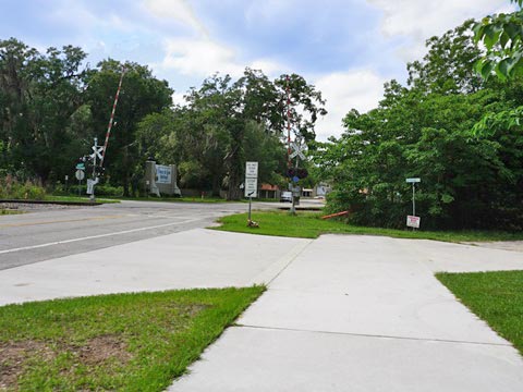
Grand Ave. to US 17 - 1.2 miles
From Grand Ave. at Baxter St. the trail runs east toward US 17 where it takes a sharp left onto Ponce DeLeon Blvd. After about 0.7 mile is a crossroad:- to the right, the trail continues 0.5 mile to US 17 where it will link to a future segment of the St. Johns River-to-Sea Loop; going straight is a spur to DeLeon Springs State Park.
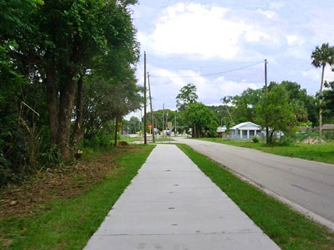
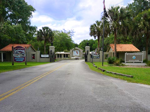
Spur to DeLeon Springs State Park - 0.8 miles
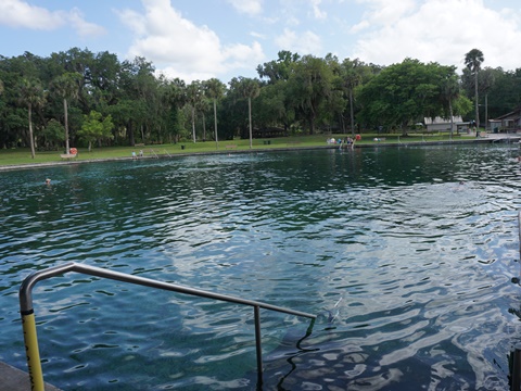
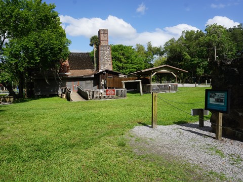
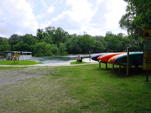
From the point where the trail turns to US 17, continue straight on Ponce DeLeon Blvd. and it's about 0.8 mile to DeLeon Springs State Park (parking, restrooms, restaurant, spring, paddling, historic exhibits; State Park fee applies). The path ends at a railroad track, cross over to the park entrance. Just over the railroad track and before the park entrance take Burts Park Road to Chuck Lennon County Park for a free parking option (parking, restrooms, picnic pavilions, playground, playing fields; 7 mountain bike trails here total 11 miles)
Featured in This Section:
Rob Sullivan
Park (DeBary)
Blue Spring
State Park (Orange City)
Lake
Beresford Park (Deland)
Chuck Lennon
Park (DeLeon Springs)
DeLeon Springs
State Park (DeLeon Springs)
Section 3: East Leg - DeBary to Green Springs Park
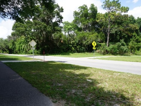
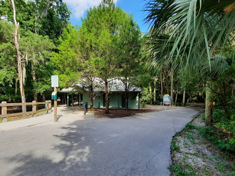
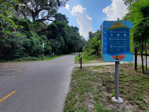
From the point where the trail emerges onto Dirksen Drive at the Gemini Springs North Trailhead (parking only), this leg of the trail runs east past the entrance to Gemini Springs Park (parking, restrooms, picnic, playground, fishing, canoe/kayak launch, hiking and horse trails). It then continues past DeBary Hall Historic Site to Deltona (a designated Florida Trail Town) and Green Springs Park where it meets the East Central Regional Rail Trail.. This leg is part of both the Florida Coast-to-Coast Trail and St. Johns River-to-Sea Loop.
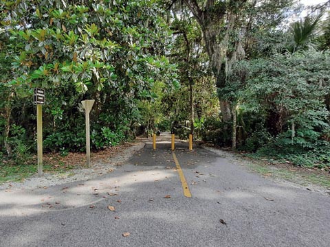
Gemini Springs North Trailhead to Mansion Blvd. - 1.5 miles
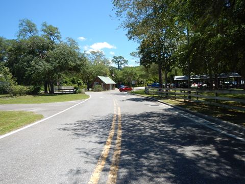
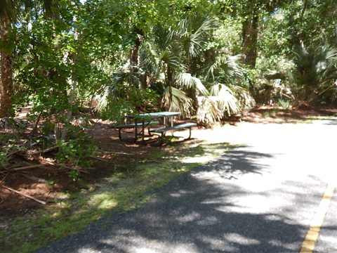
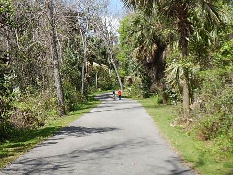
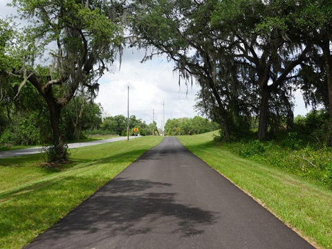
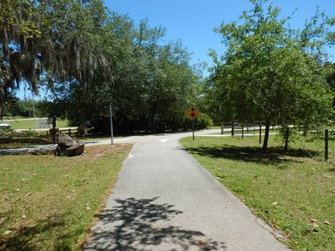
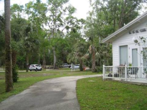
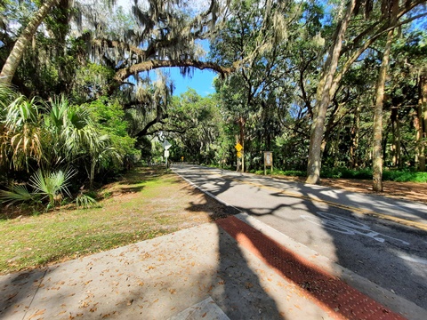
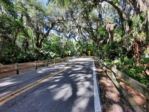
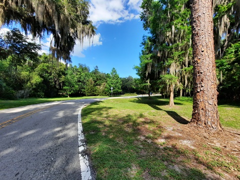
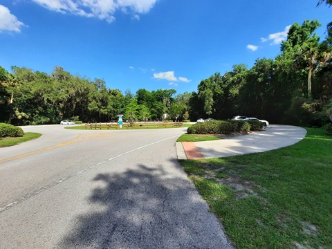
From Gemini Springs North Trailhead to Mansion Blvd. (connector to DeBary Hall), the trail follows Dirksen Drive, partly under shaded canopy with a wide buffer, a pleasant ride. From the entrance to Gemini Springs Park the park road is about 1/10 mile to parking and facilities (parking, restrooms, picnic, playground, camping, paddling, fishing). Approaching DeBary Hall, the trail emerges onto Dirksen Drive and runs roadside. At Mansion Blvd. turn off to DeBary Hall and the trailhead, or continue eastward to the Green Spring Park entrance.
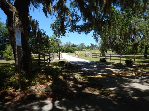
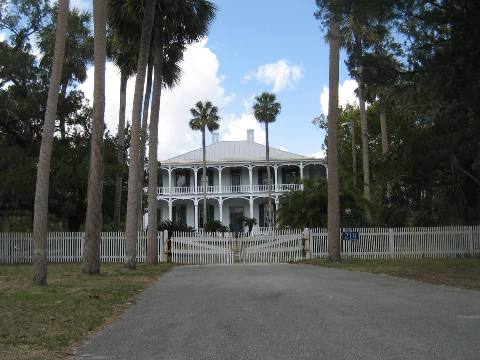
Mansion Blvd. to DeBary Hall - 0.5 mile
This short diversion provides a glimpse of history. Cross Dirksen Dr. onto Mansion Blvd. and ride to the DeBary Hall Trailhead (parking, restrooms next to Hall). Stop at the Visitors Center to learn more about this historic site - built in 1871, it's on the National Register of Historic Places.
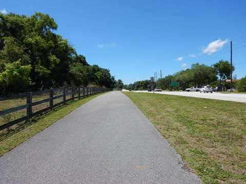
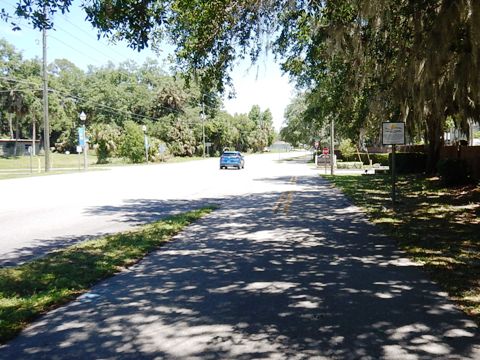
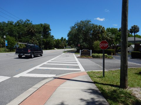
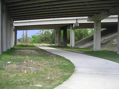
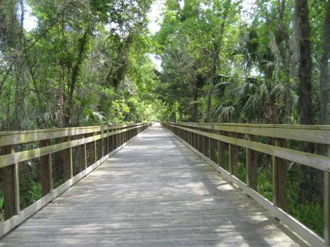
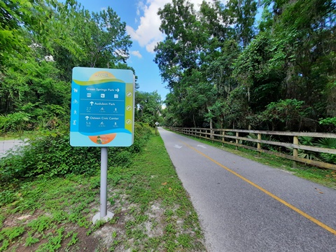
Dirksen Drive/Mansion Blvd. to Green Springs Park - 3 miles
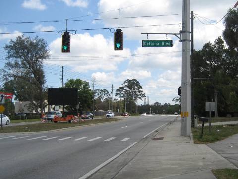
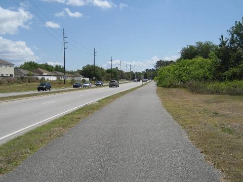
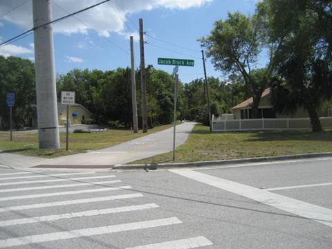
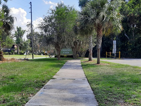
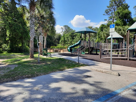
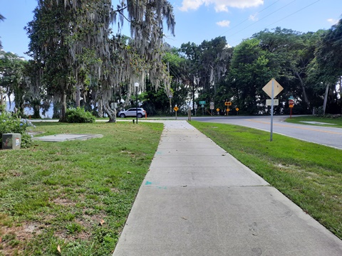
From the Mansion Blvd / Dirksen Drive intersection, the trail parallels Dirksen east and under I-4 where the road name becomes DeBary Ave. This section continues mostly parallel to the road. There's no shade and some cross-streets. It touches on Enterprise, where the roadway runs through a less commercial area, then enters Deltona, turning away from the road at Jacob Brock Ave. At Providence Blvd. is a 1/10 mile link to parking at Thornby Park (more below), then the trail runs on a boardwalk parallel to Perimeter Drive before arriving at Green Springs Park. A path from the trail runs about 2/10 mile, passing the spring, to parking and facilities (restroom, picnic, playground) within the park. Past Green Springs Park, you are now on the East Central Regional Rail Trail .

Thornby Park - Lakeshore Loop Trail - 0.75 mile
An alternate route to Green Springs Park is via Providence Blvd., past Thornby Park to the Lakeshore Loop Trail along Lakeshore Drive to Green Springs Park.
Thornby Park to Green Springs Park
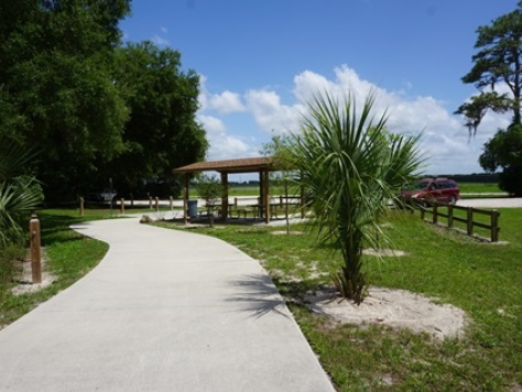
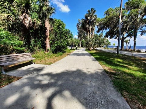
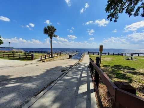
A wide sidewalk runs along Providence Blvd. from the trail to Thornby Park (parking, restrooms, picnic, playground, nature trails), then continues to Lakeshore Drive. Here, the Lakeshore Loop Trail runs on the north side of the road under shaded oak canopy to the Lake Monroe boat launch and fishing pier, and the old Community Center (parking, picnic). Deltona, a designated Florida Trail Town, is planning to redevelop the site into a trailhead and Lakeshore Eco-Village to include parking, bicycle shop, lodge, tree houses, cabins, primitive camping sites and kayak rentals. Continuing on the trail is the entrance to Green Springs Park at Green Springs Road
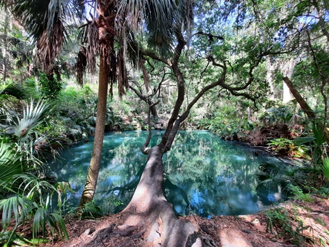
Green Springs Park to Spring-to-Spring Trail
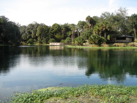
Along Green Springs Road is about 0.2 mile to the park. Here are parking, restrooms, picnicking, and playground, plus of course the lovely green spring (one of the few green sulphur springs remaining). Follow the path around the parking lot and past the restrooms (follow the sign pointing toward the Spring Overlook). The shaded path runs about 0.2 mile to the trail. Return on the Spring-to-Spring Trail (west) or continue east on the East Central Regional Rail Trail.
Featured in This Section:
Gemini Springs Park (DeBary)
DeBary Hall (DeBary)
Thornby Park
(Deltona)
Green Springs Park (Enterprise)
More Information and Resources
Nearby Biking:
East-Central Regional Rail-Trail
Cross Seminole Trail
Florida Coast-to-Coast Trail
St. Johns River-to-Sea Loop
Lake Woodruff National Wildlife Refuge (eco-biking)
Central FL Region
- More trails plus Regional Overview map
Nearby Paddling:
Blue Spring
Run / St. Johns River
Spring Garden Run at DeLeon Springs
Related Resources:
Find Trails by FL Region or Listed A - Z

100FloridaTrails.com... 100+ Florida Multi-use Bike Trails, Best for Safe, Fun Recreation and Fitness
Other Websites:
BikeOrlando.net
PaddleFlorida.net
BikeTripper.net
Copyright © 100FloridaTrails.com. All Rights Reserved.