100 Florida Trails®
Top FL Multi-use Bike Trails
Map Links & Photos Galore
Coast-to-Coast Updates
You are here >
Home >
FL Eco-biking >
Lake Woodruff National Wildlife Refuge
Latest update: November 2021
Lake Woodruff National Wildlife Refuge... Florida
Biking and Hiking with Panoramic Views and Wildlife
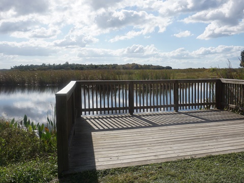
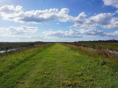
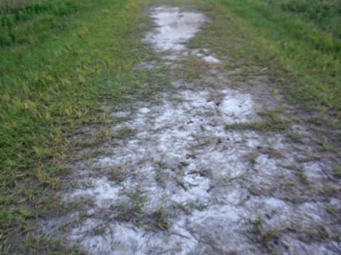
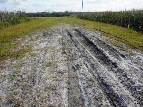
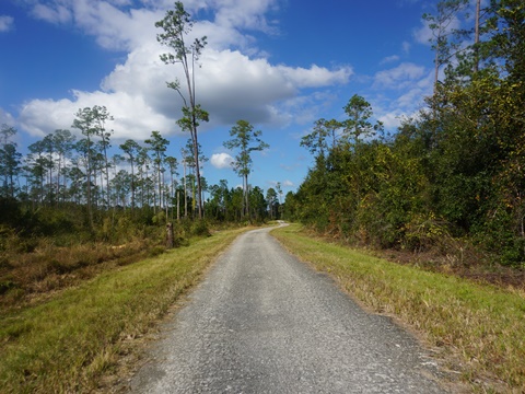
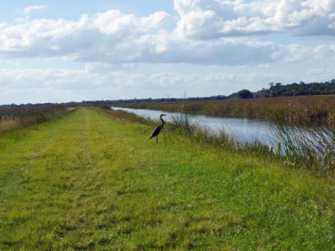
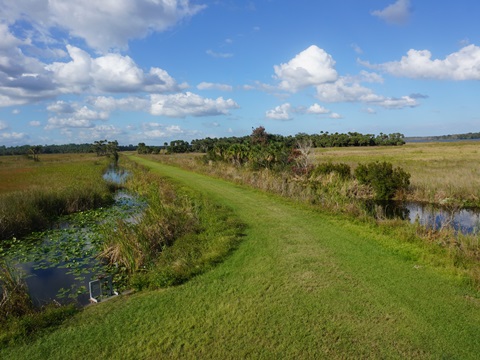
Lake Woodruff National Wildlife Refuge in DeLeon Springs, FL, was established in 1964 as a migratory bird refuge. With over 215 bird species identified, it's a magnet for bird watchers (especially in the winter). The Refuge is also an excellent Florida eco-biking destination, with over 15 miles of trails for hiking and biking (bicycling permitted on the impoundment levees). The levees are relatively easy to ride (some areas are sandy and can get muddy), but better suited for fat-tire bikes. Note: This ride is recommended during dry weather, the trails and levees can be muddy when wet. No shade, bring sunscreen and water (Map link and photos below.)
Location: Volusia County
Mileage: 15 miles of trails for hiking and biking, about 7
miles on earthen levees
Surface: Packed dirt, sand, grass
Parking: Along Mud Lake Road: Trailhead at the impoundments; Trailhead at
Mayaca Trail System
Entry Fee: No (for
hunting, fees will apply)
Nearby Points of interest: DeLeon Springs State
Park, Blue Spring State Park
Support and Advocacy:
Friends
of Lake Woodruff National Wildlife Refuge
West Volusia Audubon
Eco-biking and Hiking at Lake Woodruff NWR... Comments and Photos
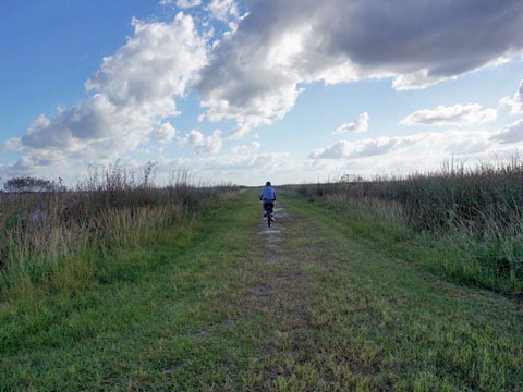
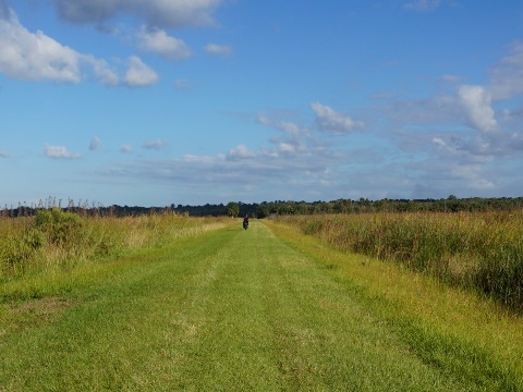
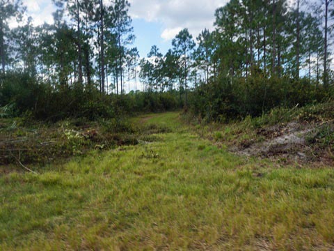
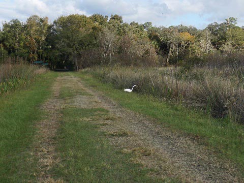
Note: Time and nature can change the character here, we've visited in both dry and wet seasons. Areas on the levees have become overgrown with grass, we pushed through - a workout! We've included some "then and now" photos to illustrate.
- Tip #1: Dry weather only. When wet, the sandy clay base becomes the stickiest mud we have ever encountered. Avoid when wet.
- Tip #2: Winter is best. More birds, fewer bugs, drier weather, clearer skies, and better sunsets. Along with the wildlife, great panoramic sunsets attract serious photographers from all over. You can find many splendid photos online.
- Tip #3: Be aware that the temperature can drop quickly. One January day shortly before sunset, we were biking in sunny 70 degree weather. By the time the sun had completely set and our bikes were back on the car, it was 48 degrees. Walkers and hikers all became sprinters that evening. Glad we had bikes.
Eco-biking at the Refuge
Mud Lake Road to Parking
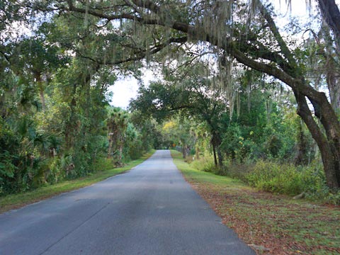
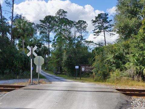
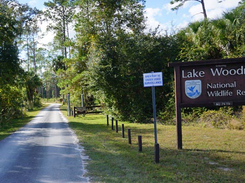
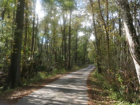
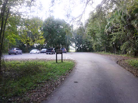
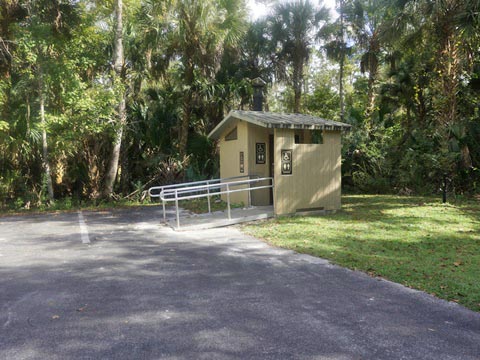
To reach the Refuge from US 17 in DeLeon Springs, turn west on Reynolds Road, then left (south) on Grand Avenue. Continue south to Mud Lake Road (just under 1 mile), turn right and go straight to the parking area (a little over 1 mile - bikeable). At the parking area is a restroom, no other amenities.
Parking to Observation Tower
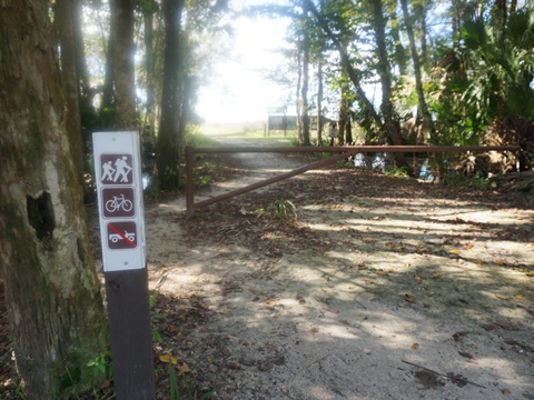
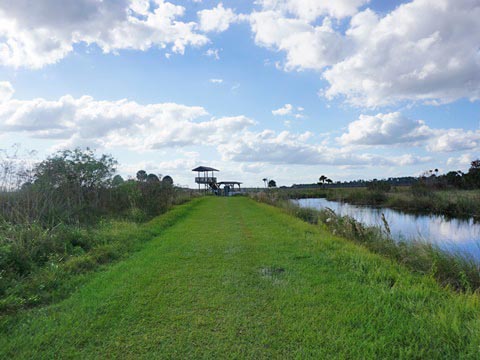
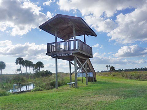
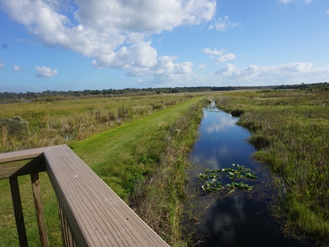
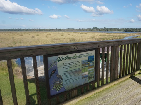
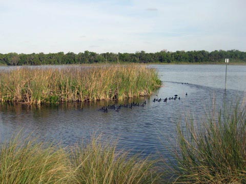
From the parking lot, proceed to the kiosk and onto the levee around Pond 1 to the Observation Tower (Audubon Lookout). The tower, built by the West Volusia Audubon Society, has wide views of the preserve and impoundments - great for birdwatching and photography. At the tower is a crossroads, choices are: (1) go back the same way; (2) go south to complete the loop around Pond 1 to parking, (3) go north to Jones Island and Pontoon Landing, looping around Pond 2, or (4) go west to continue around Pond 3.
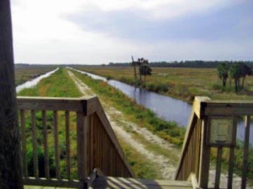
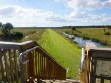
Then and Now
Changes seen from the tower - pretty, but now a workout!
From Observation Tower Around Pond 3
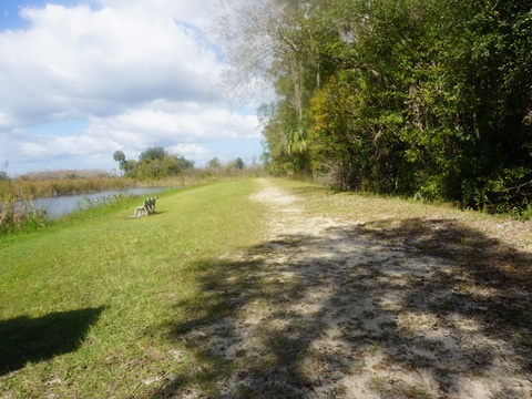
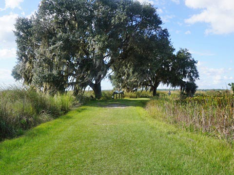
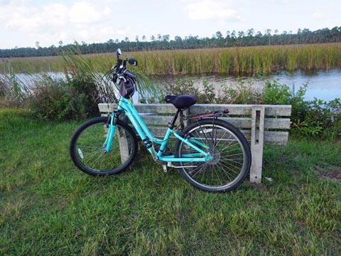
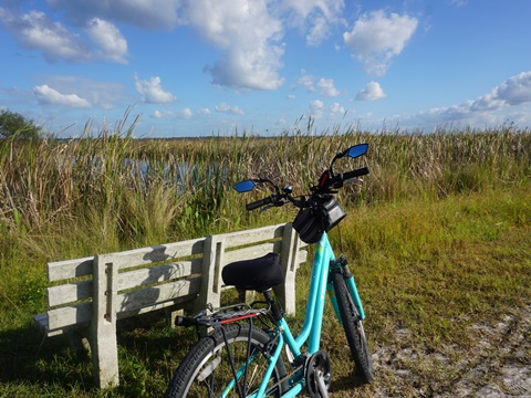
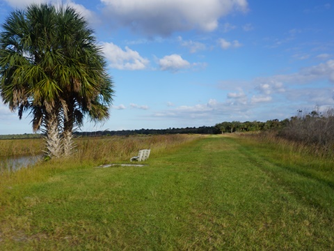
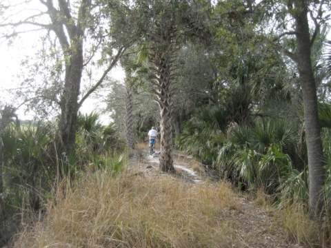
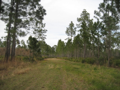
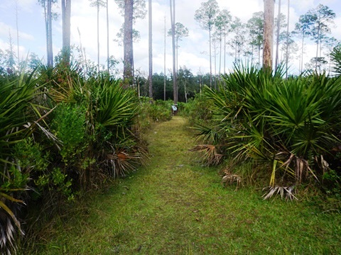
This route was from the observation tower going west around Pond 3. The levee on this visit was mostly grassy with a few sandy spots and a couple of areas that if wet would be deep, sticky mud. Pushing through the grass was a workout, we walked part of the way for a break. Benches are provided.
Jones Island
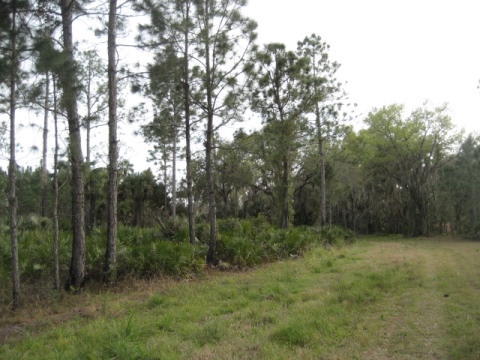
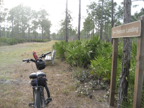
From the observation tower going north, this is a good workout on the grassy levee (best if mowed recently).through Jones Island to Pontoon Landing along Spring Garden Creek. More shaded through pine flatlands. There are sandy side trails here, but way too soft for us. Overall for outdoor lovers.
East Side Unit
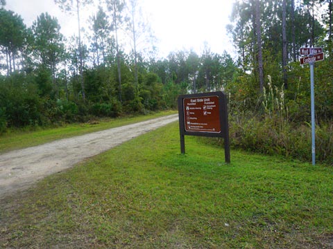
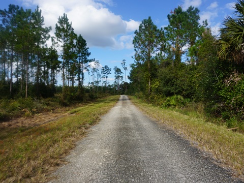
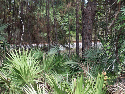
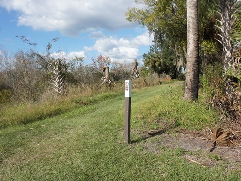
Off Mud Lake Road about 3/4 mile from Grand Ave. (past the Mayaca Trails parking area but before the main parking at the impoundments), we saw a sign we don't recall from earlier trips. The East Side Unit is now open for biking and hiking. Paralleling a CSX railroad track, the limestone road was rough but bikeable. This a designated archery hunting area, wearing hunter orange is recommended during hunting season.
Hiking Trails
Mayaca Trail System
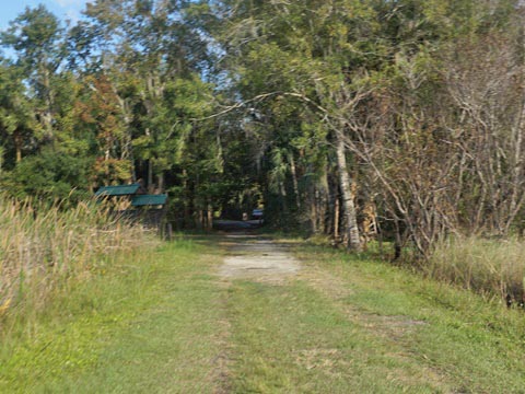
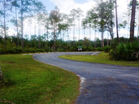
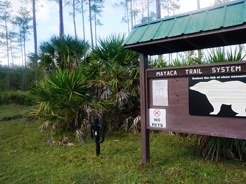
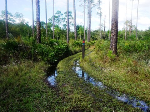
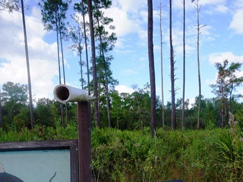
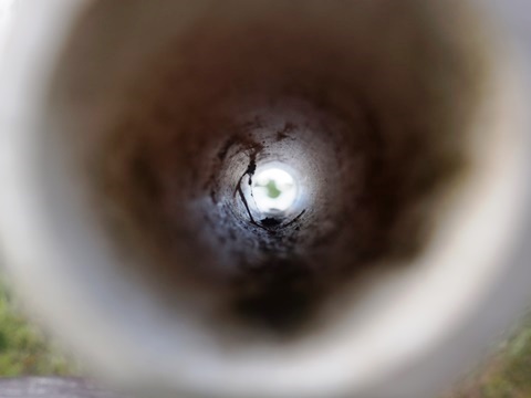
Paved parking is located off Mud Lake Road, just past the East Side Unit access. Parking, no other amenities. The trail system includes two loops, the Red Loop (0.8) mile and the Blue Loop (0.5 mile). Both start next to the kiosk, we started down the trail but we didn't have the right shoes and it was too wet for us to continue. We took the short trail to the Bald eagle nest viewer, a fun feature. Note: A spur extends to the levee around Pond #1.
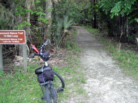
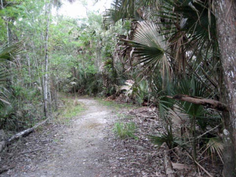
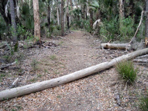
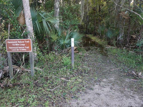
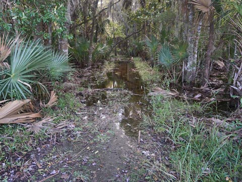
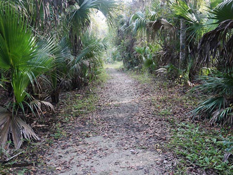
Hammock Trail Loop - Then and Now
The Hammock Trail Loop (1/2 mile) is located on the south side of Pond #3 about 1/4 mile from parking. We visited both when dry and wet.
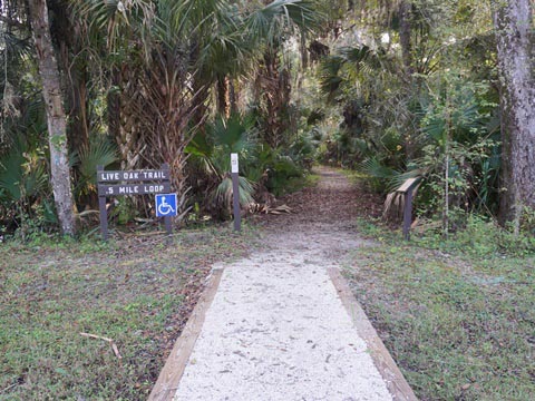
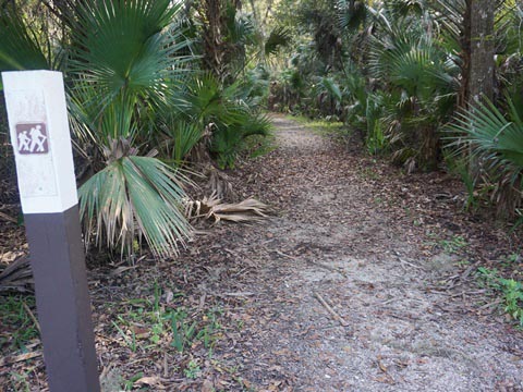
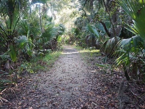
Live Oak Trail Loop
Live Oak Trail Loop (1/2 mile) access is from the main parking lot. An easy hike, wheelchair accessible.
Wildlife Viewing
Wildlife
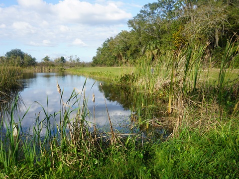
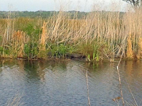
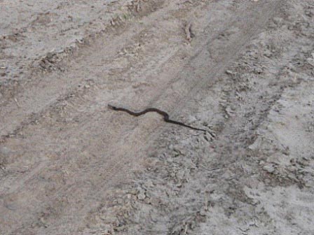
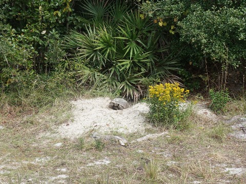
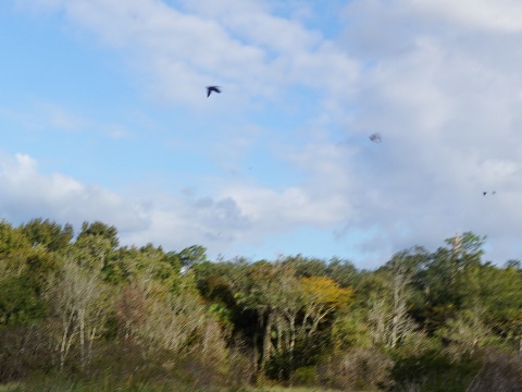
Over 215 species of bird have been counted including endangered species. Other wildlife include alligator, otter, snake, gopher tortoise, and manatee.
About Lake Woodruff National Wildlife Refuge
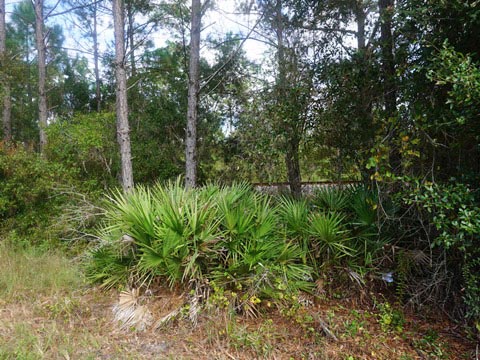
Lake Woodruff National Wildlife Refuge covers over 22,000 acres, much of it is only accessible by water - the area visited around the impoundments is but a small portion of the total. Refuge habitats include freshwater marsh, hardwood and cypress swamp, plus lakes, streams and canals. A Visitors Center and guided bird walks are available (check ahead for availability). While the refuge has no boat launches, fishing, canoeing and kayaking are popular (launch from DeLeon Springs State Park); motorboats are prohibited.
More Information and Resources
Nearby Biking:
Spring-to-Spring Trail
Central FL Region - More
trails plus Regional Overview map
Nearby Paddling:
DeLeon Springs State Park at www.PaddleFlorida.net
Related Resources:
U.S. Fish & Wildlife Service - Lake Woodruff National Wildlife Refuge
Find Trails by FL Region or Listed A - Z

100FloridaTrails.com... 100+ Florida Multi-use Bike Trails, Best for Safe, Fun Recreation and Fitness
Other Websites:
BikeOrlando.net
PaddleFlorida.net
BikeTripper.net
Copyright © 100FloridaTrails.com. All Rights Reserved.
