100 Florida Trails®
Top FL Multi-use Bike Trails
Map Links & Photos Galore
Coast-to-Coast Updates
You are here >
Home >
FL Eco-biking >
Southern Glades Trail
Latest update: February 2025
Southern Glades Trail, South FL Eco-biking...
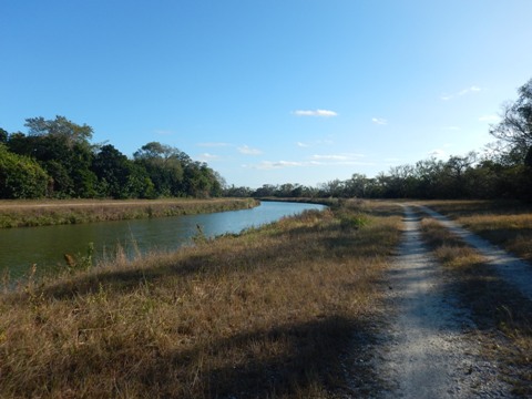
Canal Biking
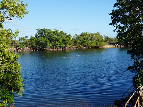
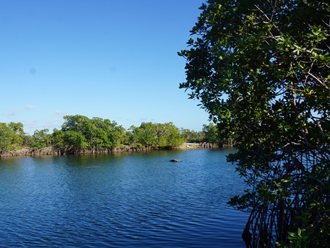
Southern Glades Trail starts along SR 9336 outside Everglades National Park, about 1.5 miles east of the Coe Visitor Center. From the small parking area, it runs south and east 13 miles along the C111 canal through the Southern Glades Wildlife and Environmental Area to Manatee Bay. The trail is used by bikers, hikers, and equestrians.
Location: Miami-Dade County (See
map)
Mileage: 13 miles (more connecting)
Trailheads and Parking: Along SR 9336
Surface: Limestone, gravel
Nearby Points
of Interest: Everglades National Park, Everglades Alligator Farm
Bike Shops/Rentals: N/A
Eco-biking on Southern Glades Trail... Comments and Photos
There are no facilities on the trail, bring water, sunscreen, and (since the mosquitoes can be brutal) insect repellant. The rough surface will (for most) be generally slower biking, so if going for any distance, a good rule is to bring more the water than you think you'll need.
- Wildlife along the canal include fish, alligators, turtles, snakes, hawks and other birds.
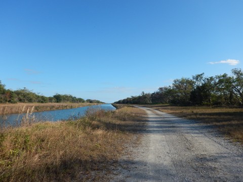
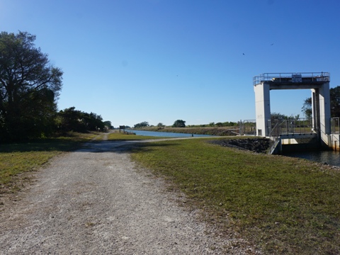
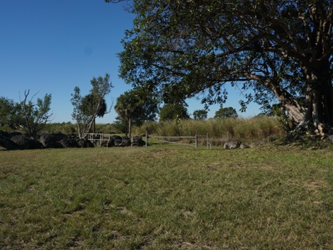
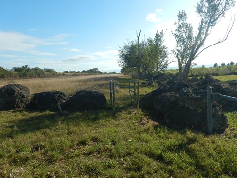
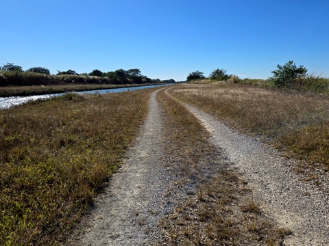
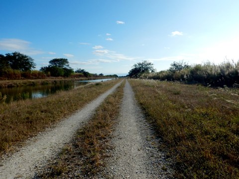
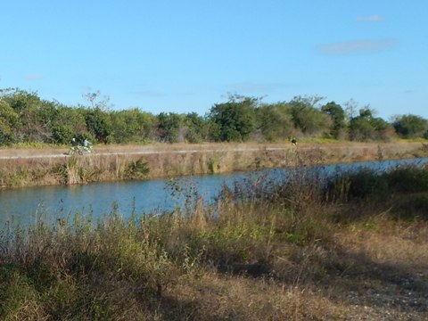
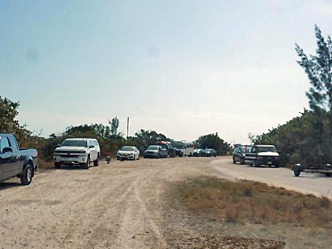
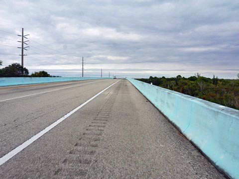
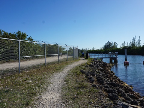
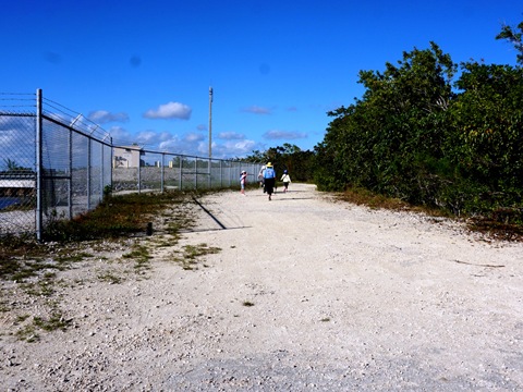
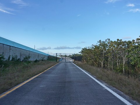
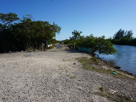
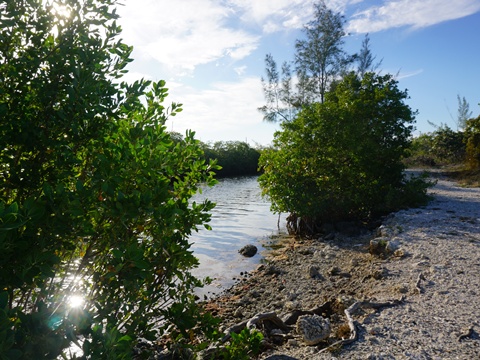
North Trailhead at SR 9336
At SR 9336 a parking area is on the east side of the canal, across from the trail.
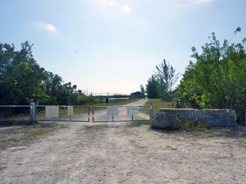
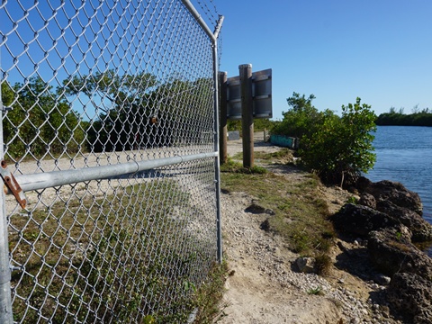
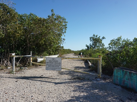
- Past the gate, a gravel path runs straight along the canal. This is bikeable, but is not the trail. Rather, cross over the lock to the west side of the canal for the trail.
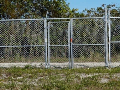
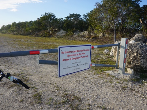
- There's a gate at the trail start, but the opening is too small to roll a bike through so either lift it over, OR go to the actual access - further to the right through another gate.
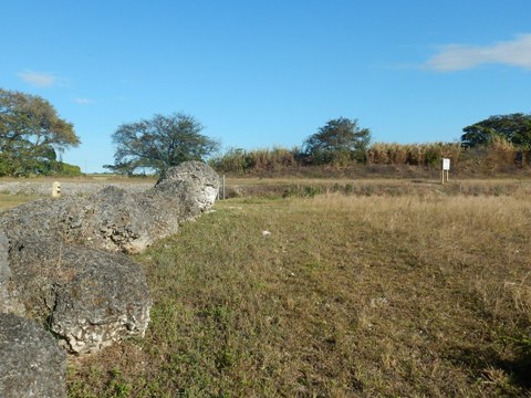
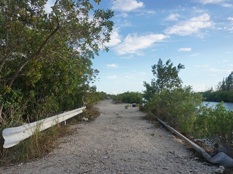
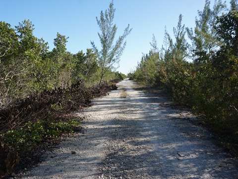
- At first, there are some larger rocks in the trail surface, but then it becomes smaller gravel and is an easier ride. Mostly unshaded, the view is fairly unchanging, between the canal and prairie/tree line. We rode about 2 miles, then returned.
At the Trailhead
Notes:
- Continuing to the south, the trail crosses to the eastern side of the canal in about 4 miles. From here the trail continues south along the canal toward Manatee Bay, or another leg goes north along the C111E canal back to SR 9336 (see map).
- Across SR 9336 to the north, the path continues along the canal as part of the Biscayne-Everglades Greenway (link below).
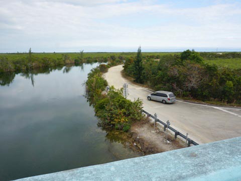
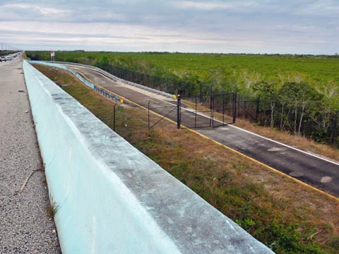
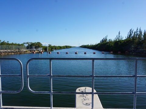
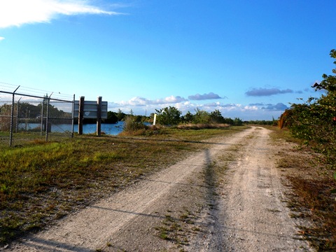
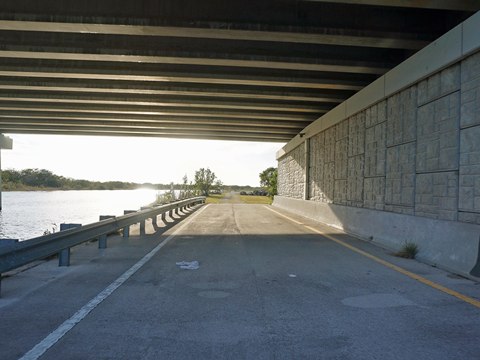
South Trailhead at US 1
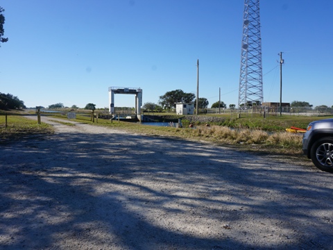
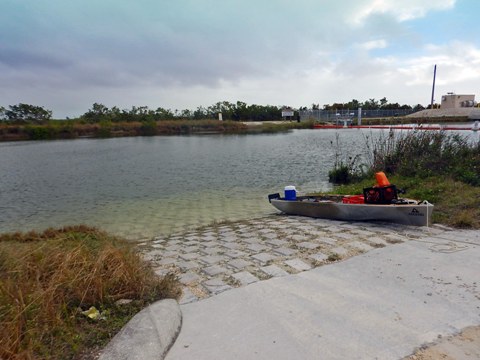
Near the south end, where the trail runs under US 1, parking and a boat ramp are located off US 1 - on the west side of the canal, across from the trail.
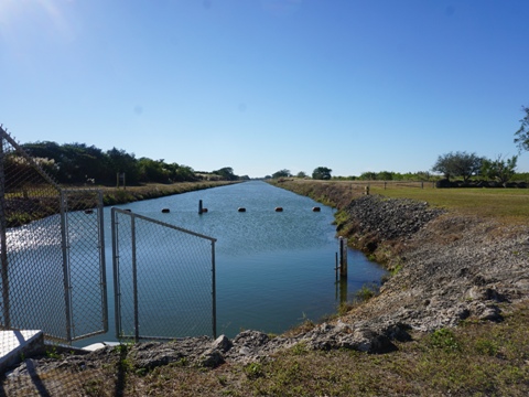
- Past the boat ramp is a gate, go around it and follow the trail along the fence. At the gateway, turn left to the lock and cross the lock to the east side of the canal.
- Once across the lock, getting onto the trail is not easy. The gateway here is locked, the workaround is to follow the narrow path skirting the fence (being careful not to slip into the canal). This path is well-worn, many people fishing were seen.
At the Trailhead
On the Trail
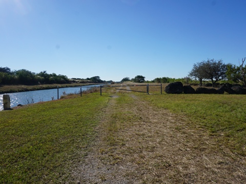
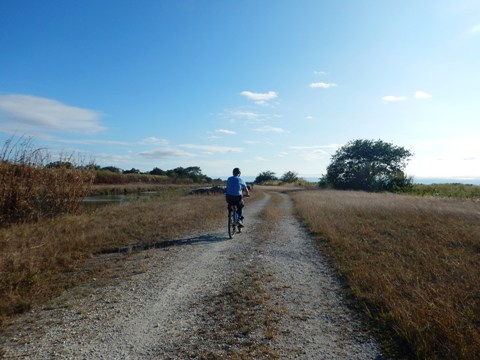
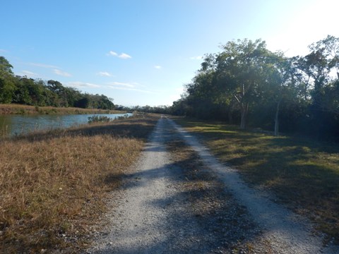
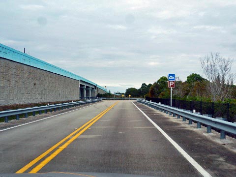
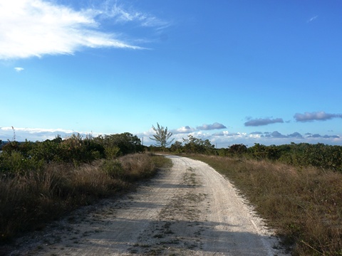
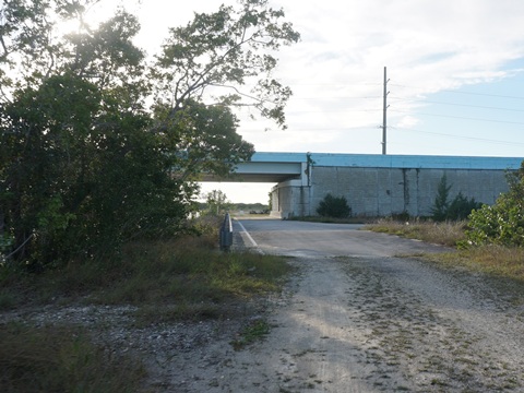
- We rode the trail northbound to US 1. The fine gravel was easy to ride on. The trail is paved at the bridge, and a paved ramp runs up to the road, but the gate is locked with no pass-through for bikes. The trail continues unshaded northbound, and the surface gets rougher - not our favorite type of biking so we returned.
- We viewed the trail southbound, it appeared to continue on rough gravel, but we did not proceed on this trip.
Trail Northbound
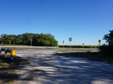
Note: Continuing along US 1 to the south, it's just 10 miles to Key Largo and the Overseas Heritage Trail (link below).
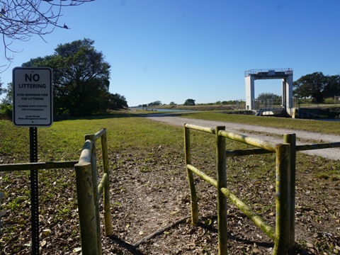
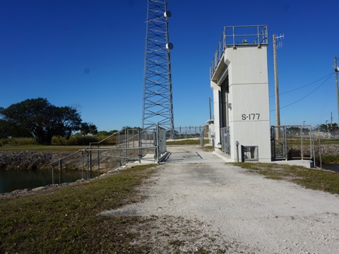
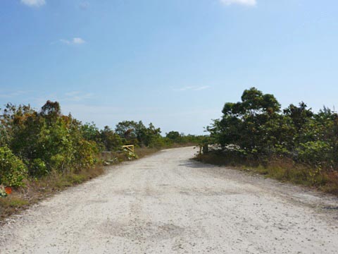
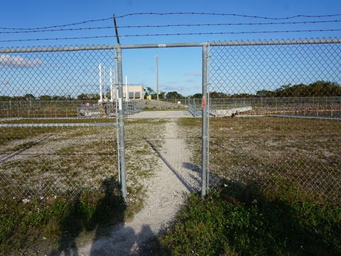
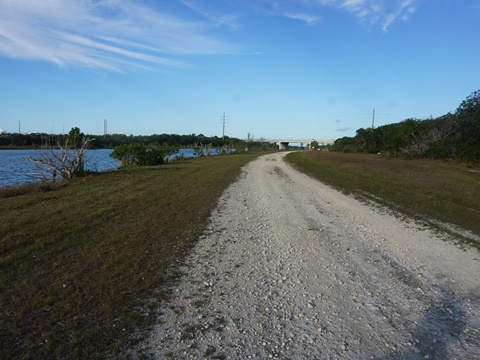
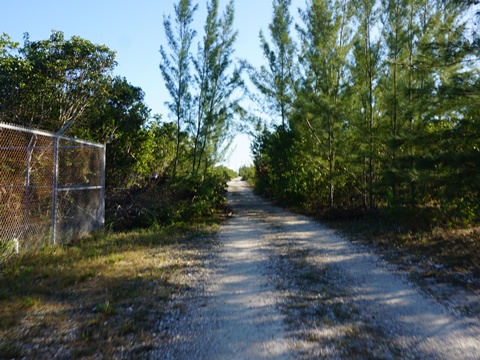
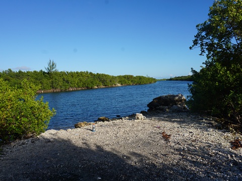
Utility Access - "Mudfish South" Trail
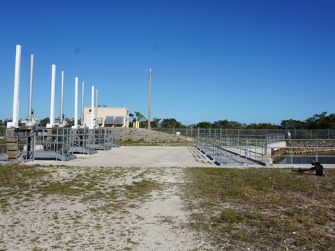
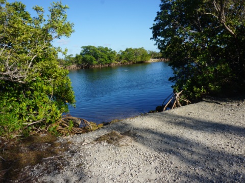
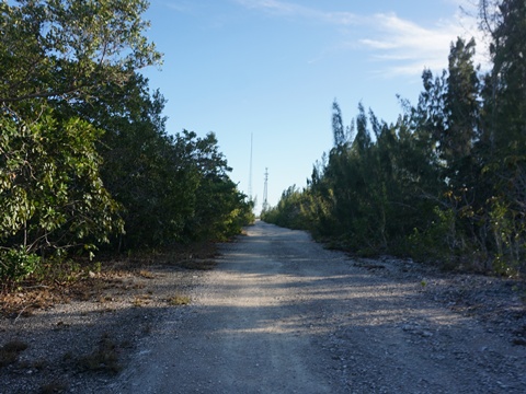
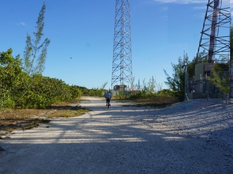
At the gateway leading to the lock, go straight instead. A trail continues along the east side of the canal. We decided to explore, and found it runs about 1.5 miles to end at a couple of utility/wireless towers. We dubbed it "Mudfish South" Trail.
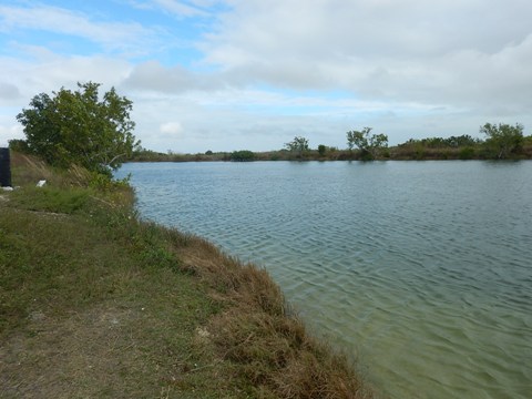
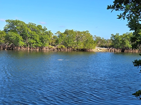
- The surface is rideable on gravel, worn by utility vehicles, with a few rough or sandy spots. At the end is a scenic point where a side canal merges in. The main canal continues about 1/2 mile to Manatee Bay.
- The highlight of the ride was seeing a herd of manatees in the canal.
More Information and Resources
Nearby Biking:
Biscayne-
Everglades Greenway
Aerojet Road Trail
Overseas Heritage Trail
Related Resources:
Find Trails by FL Region or Listed A - Z

100FloridaTrails.com... 100+ Florida Multi-use Bike Trails, Best for Safe, Fun Recreation and Fitness
Other Websites:
BikeOrlando.net
PaddleFlorida.net
BikeTripper.net
Copyright © 100FloridaTrails.com. All Rights Reserved.