100 Florida Trails®
Top FL Multi-use Bike Trails
Map Links & Photos Galore
Coast-to-Coast Updates
You are here >
Home >
Top Ten >
Sanibel Island Bike Trails
Latest update: December 2025
Sanibel Island Shared-use Trails... Florida
Top 10 Florida Biking... E-Z Google Map, 100+ Ride Photos
UPDATE, Dec. 2025: Sanibel is back and ready for business!
Sanibel Island is one of our favorites, we've visited often over the years. This was our first visit since the devastation caused by Hurricanes Ian, Helene and Milton (2022, 2024), and we were excited to see the progress that's been made. It's not 100% - some old landmarks are gone, but new construction and restoration are ongoing, and we can report:
- The bike trails are open and the island is rideable!
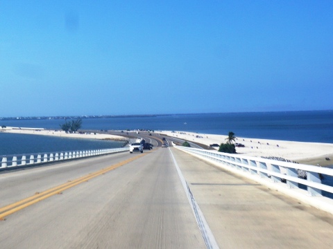
- The Causeway has been reconstructed and reinforced against future storms.
- Shops and restaurants are back in business; hotels and resorts have been rebuilt and reopened.
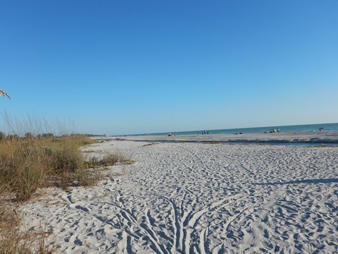
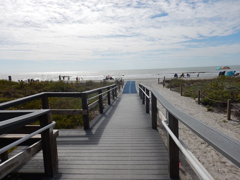
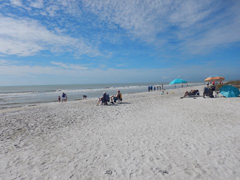
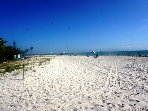
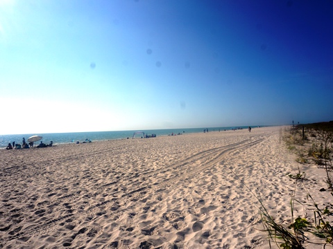
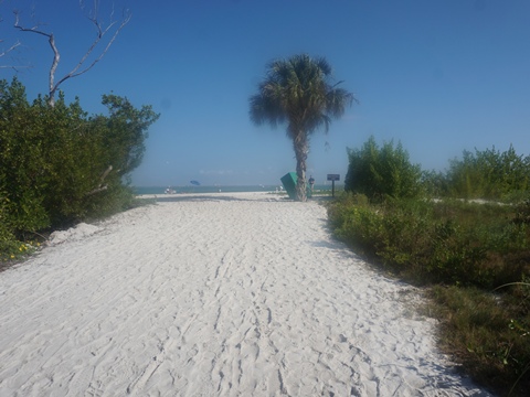
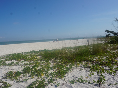
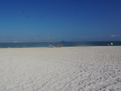
- The beaches are reopening, having been refreshed with 450,000 tons of sand.
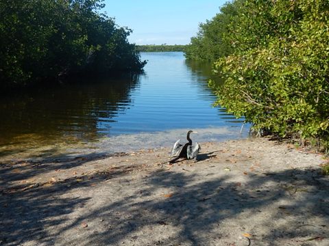
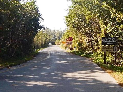
- Ding Darling National Wildlife Refuge is open with wildlife returning and ecosystems recovering.
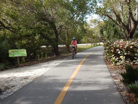
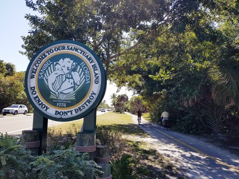
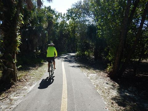
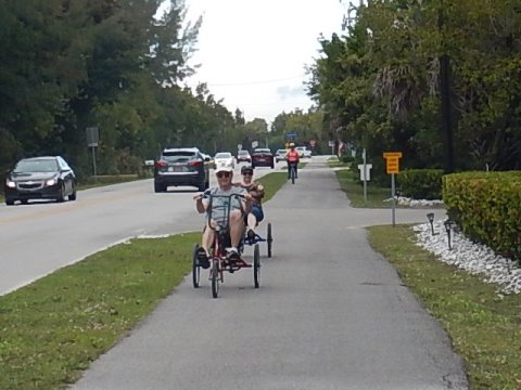
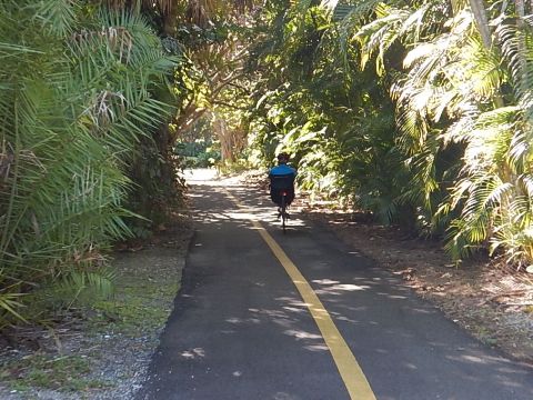
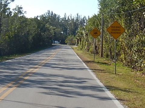
Sanibel Island is a popular destination with 15 miles of beaches famous for shelling, abundant nature (over half the island is set aside as wildlife refuges), fishing and other activities. Traffic can crawl, but the good news is you can reach almost anywhere on Sanibel Island by bike! There are 25 miles of paved, shared-use paths to bike or hike. They run east-west and north-south, leading to the lighthouse, beaches, restaurants, shopping, residential areas, and resorts. Many bicycle racks make stopping and exploring easy. (As always, lock-up.) Cyclists also can ride Wildlife Drive, a 4.3-mile paved road through the J.N. "Ding" Darling National Wildlife Refuge. (Map link and photos below.)
Location: Lee County
Mileage: About 25 miles
Surface: Asphalt, 4-10'
Nearby points of interest: J.N. “Ding” Darling National Wildlife Refuge, Captiva
Island, Bailey Matthews Shell Museum, Fort Myers, Thomas Edison and Henry Ford winter home sites
Bike Shops/Rentals:
Support and Advocacy:
Sanibel-Captiva Conservation Foundation
Biking at Sanibel Island... Comments and Photos
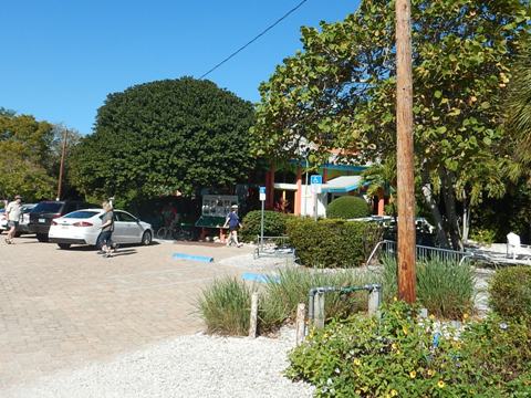
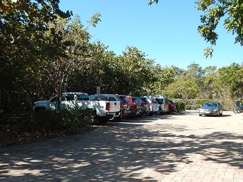
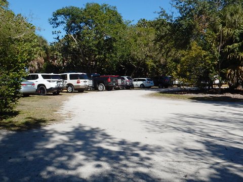
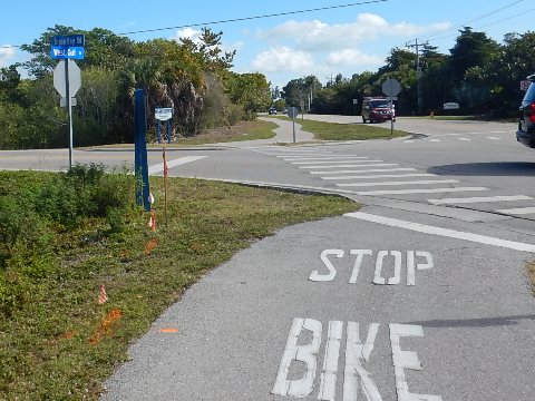
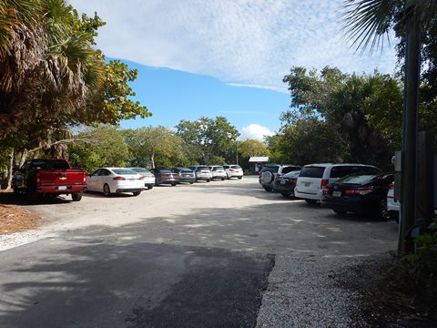
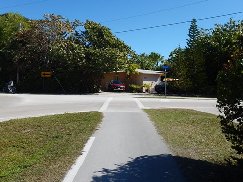
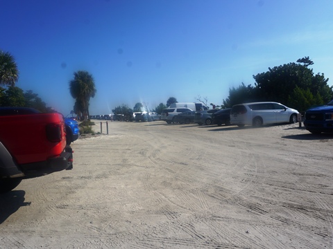
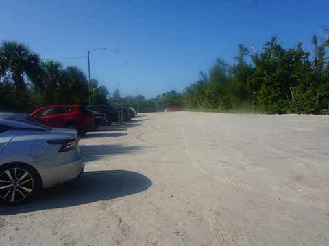
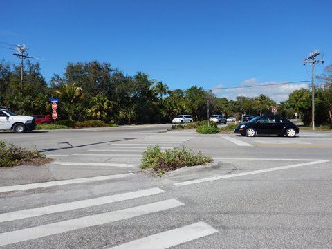
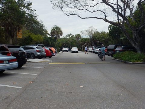
Parking a car on Sanibel Island can be problematic. Public parking is based on an hourly fee and on a busy weekend, a parking spot can be almost impossible to find. But with a bicycle, it's no problem! You can park for free: along the causeway and ride along the wide shoulder to the Island, or at the Sanibel-Captiva Visitor's Center (pick up a free bike path map), or at Roadside City Park, or the Ding Darling Visitor Center. The paths cross roads and driveways (NO traffic lights), be aware of traffic. Some are narrow (6-8') and there are many bikers and walkers, so practice good riding etiquette.
A Sanibel Island Biking Loop
Below we map out a loop route around Sanibel Island. Starting from the Causeway and Visitor Center, we proceed to Periwinkle Way and Sanibel-Captiva Road and go WEST to Captiva Island. Then, we turn EAST along West Gulf, Middle Gulf and East Gulf Roads to the Sanibel Lighthouse, and finally back WEST on Periwinkle Way to the Causeway.
Westbound - Causeway to Captiva Island - 12 miles
This section runs from the Causeway south to Periwinkle Way, and west to Tarpon Bay Road. It then runs north to Sanibel-Captiva Road, and continues west to Captiva Island.
Causeway to Periwinkle Way
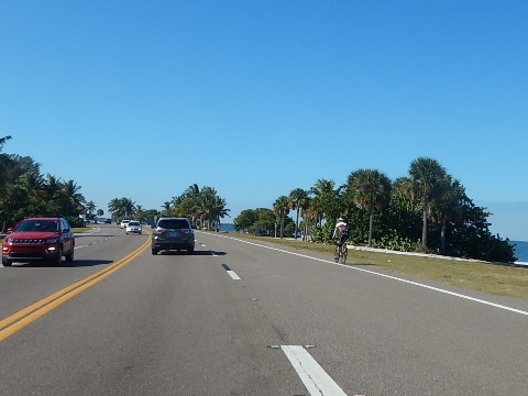
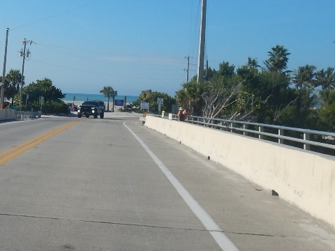
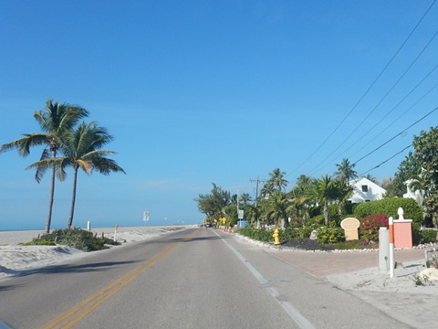
The only way onto Sanibel is over the Causeway (toll), there's a wide shoulder to ride on and we saw several bikers, but we drove over.
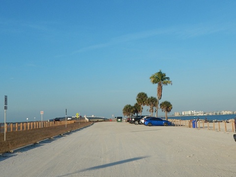
- Small islands along the causeway have been restored with beaches and free parking. Popular for fishing.
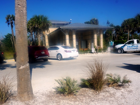
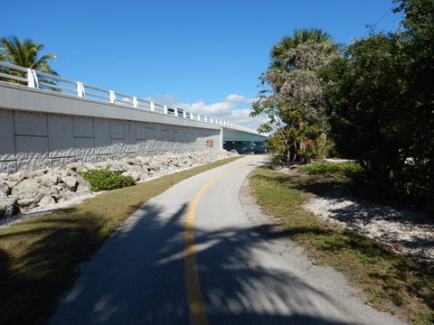
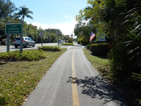
- A shared-use path along Causeway Blvd. leads 1/2 mile from the Causeway to Periwinkle Way, passing the Visitor Center.
- There are a limited number of spots available for free parking at the Visitor Center - if none are available, try Roadside City Park, one mile west along Periwinkle Way.
Periwinkle Way to Tarpon Bay Road
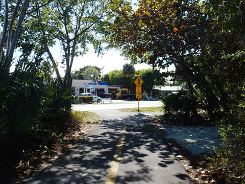
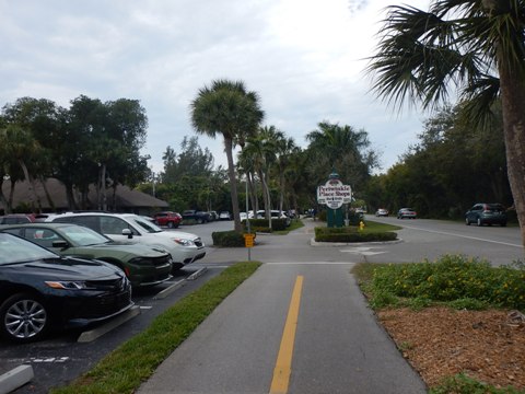
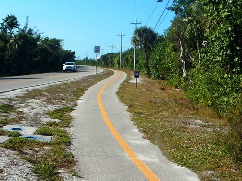
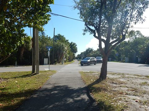
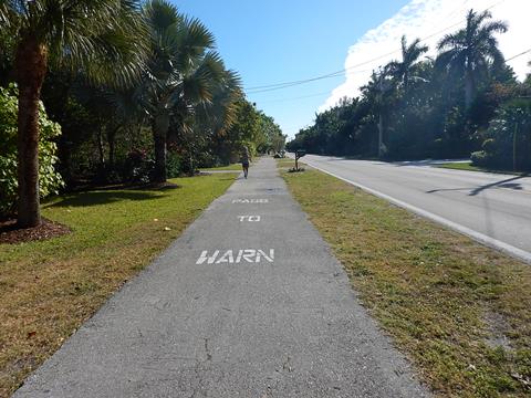
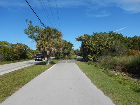
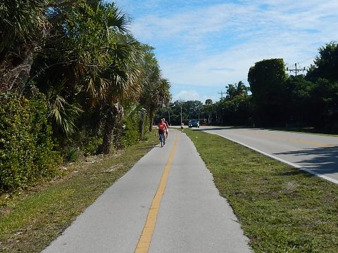
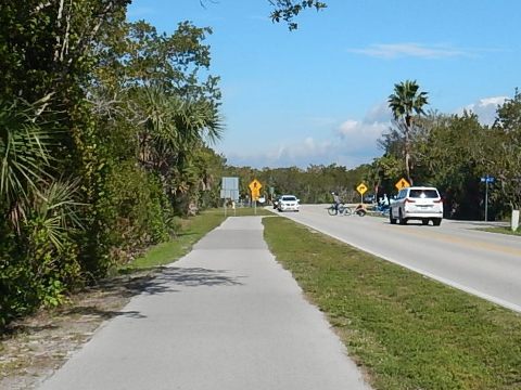
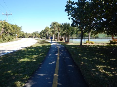
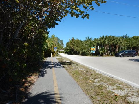
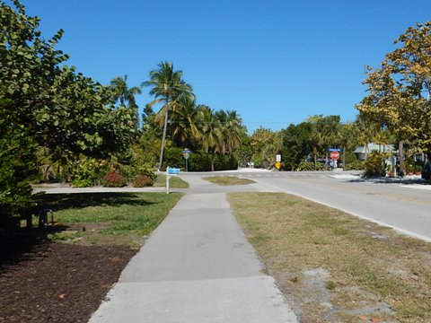
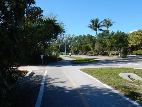
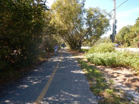
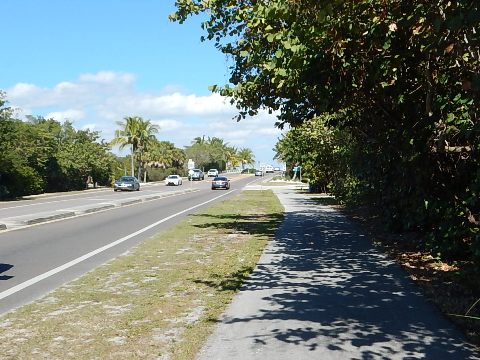
Along Periwinkle Way going west from Causeway Blvd., the path crosses over to the south side of Periwinkle. The path runs next to the road, set back in some sections. There are some shady sections, but mostly unshaded; benches are provided.
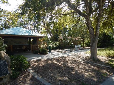
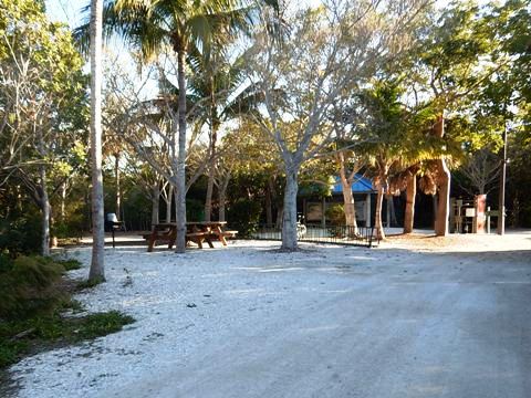
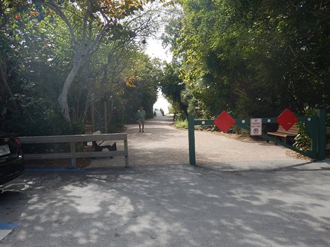
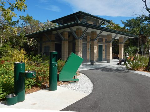
- Along the trail is the Sanibel Shared-Use Path Welcome Center, with information kiosk, benches, and water.
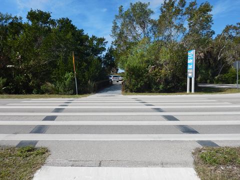
- Roadside City Park is on the north side of the road, use the crosswalk. Parking, picnic, water; access to Bailey Homestead Preserve and the Shipley Trail.
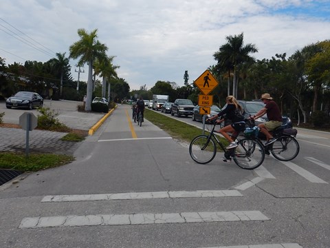
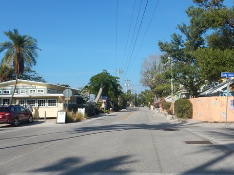
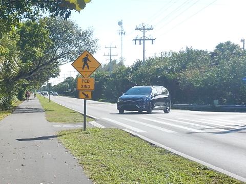
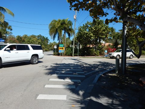
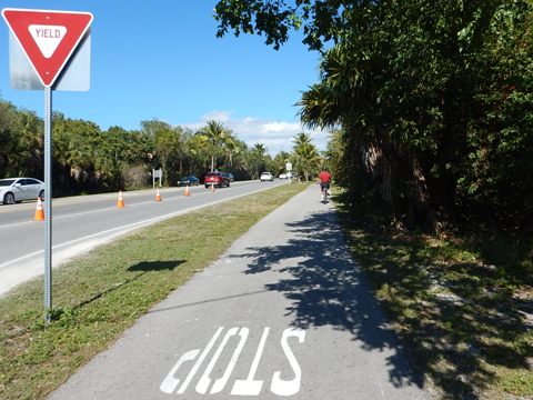
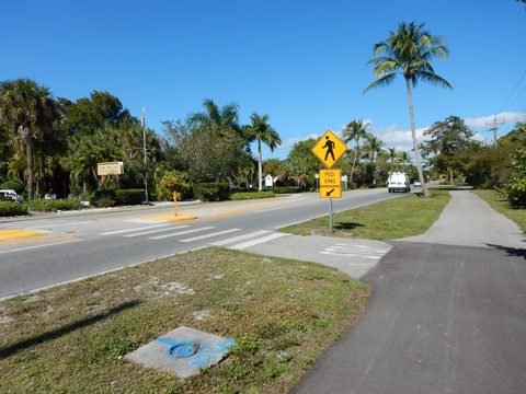
- Restaurants, shops and other businesses along Periwinkle Way are easily accessible by bike. There are many crosswalks and business crossings - watch for pedestrians and traffic.
- Periwinkle Way ends on the west at Tarpon Bay Road, ride north to Sanibel-Captiva Road.
Tarpon Bay Rd. to Sanibel-Captiva Rd. to Captiva Island
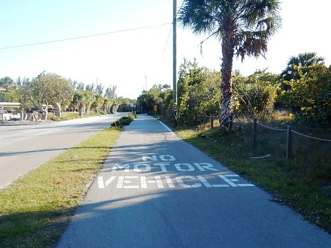
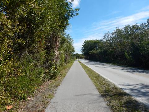
From the end of Periwinkle, Tarpon Bay Road runs north about 4/10 mile to Sanibel Captiva Road (San-Cap). San-Cap is more remote, running west to Ding Darling National Wildlife Refuge (2 miles) and Captiva Island (7.5 miles). The path is along the roadway with little shade. Approaching Captiva Island, the path on Sanibel ends at Blind Pass Bridge.
- Note: An alternative along San-Cap is to bike Wildlife Drive at Ding Darling - it enters off San-Cap, then exits back onto it - about 4 miles. See details below.


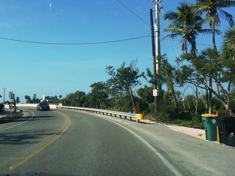
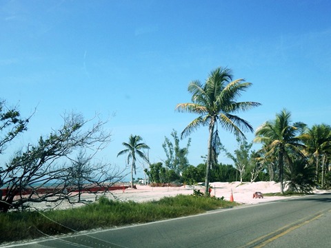
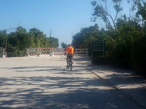
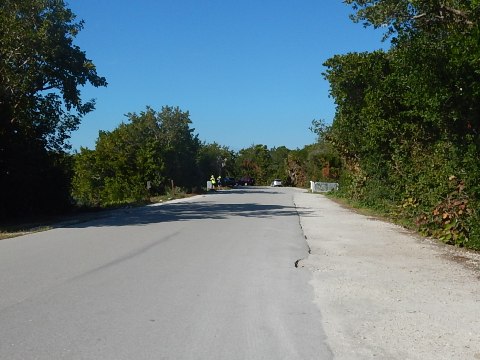
The area approaching the Blind Pass Bridge showed scars from the hurricanes.
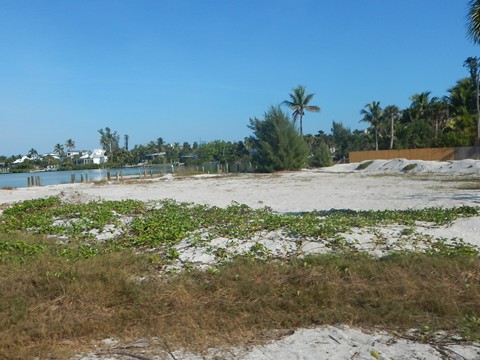
- Once popular old beachside resorts were empty lots, pending future redevelopment.
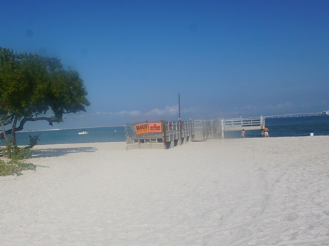
- Beach parks here were closed, with restoration efforts underway.

Captiva Island
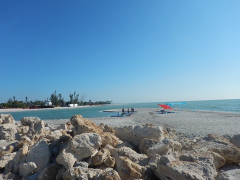
Cross Blind Pass Bridge using the shoulder, or on the separated pathway.
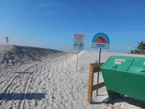
- On the Captiva Island side of Blind Pass Bridge, Turner Beach Park has parking, restrooms and outdoor shower.
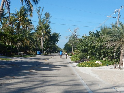
- Captiva Island has bike lanes but no off-road paths; the roads are busy, narrow and twisting. While many do bike here, we don't recommend bicycling on Captiva Island.


Eastbound - Captiva Island to Sanibel Lighthouse - 13 miles
Our route now returns east from Captiva Island along San-Cap, past Bowman's Beach to Rabbit Road Trail, and south to West Gulf Drive. Continue east on West Gulf Dr., Casa Ybel Rd., Middle Gulf Dr., East Gulf Dr. and Periwinkle Way to Sanibel Lighthouse. The path here is roadside, there are a few turns but mostly the roads just merge into each other and you don't even know the name changed!. There are several Gulf beach access points, at Tarpon Bay Beach, Gulfside City Park Beach, and Lighthouse Beach.
- While most commercial activity is along Periwinkle Way, this route has most of the accommodations. (Note: This route on the south side of the island is an excellent alternative, if driving, to the traffic jams on Periwinkle Way.)
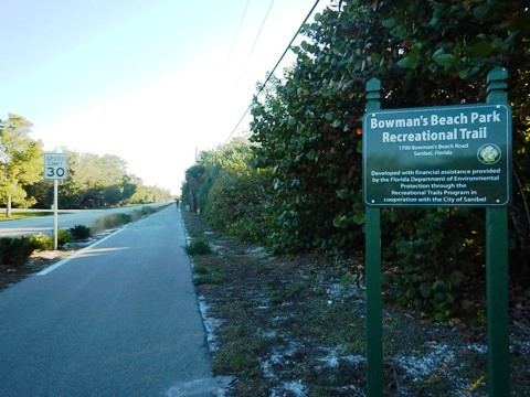
San-Cap to Bowman's Beach Recreational Trail
Returning east from Captiva Island 2.25 miles along San-Cap, just past Wulfert Road (the west end of Wildlife Drive) is a spur to Bowman's Beach, a prime shelling spot. Bowman's Beach Park Recreational Trail runs south about 4/10 mile to the park - paid parking, restrooms, outdoor shower, picnic.
Rabbit Road Trail - A North-South Connector
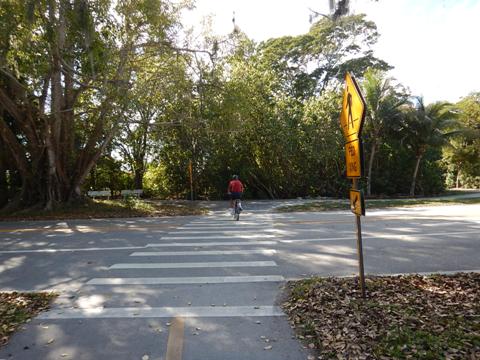
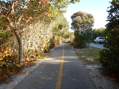
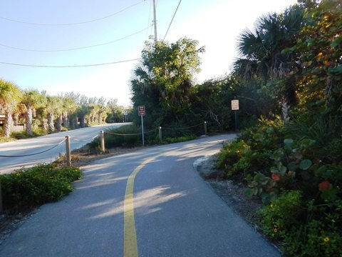
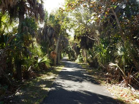
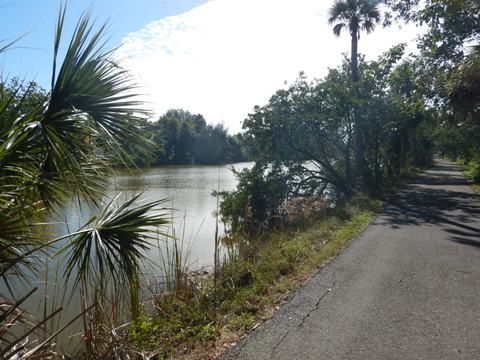
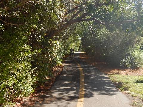
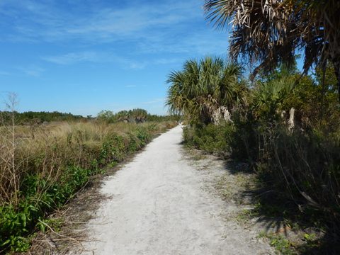
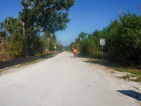
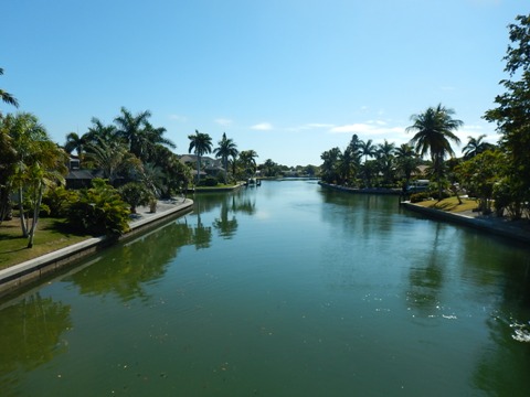
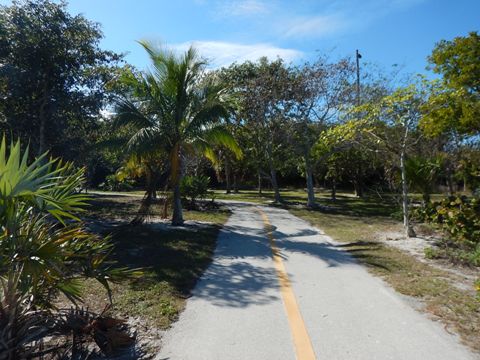
- Continuing east on San-Cap and located about 4/10 mile past the main entrance to Ding Darling National Wildlife Refuge, Rabbit Road Trail is a short but scenic 8/10 mile connecting San-Cap at the north to West Gulf Drive at the south. It mostly parallels a canal separating the trail from the road.
- Approaching West Gulf Drive, the trail runs on-road along Surf Sound Ct. for a short distance.
West Gulf Dr. - Rabbit Road to Tarpon Bay Rd. - South to Beach
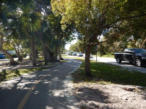
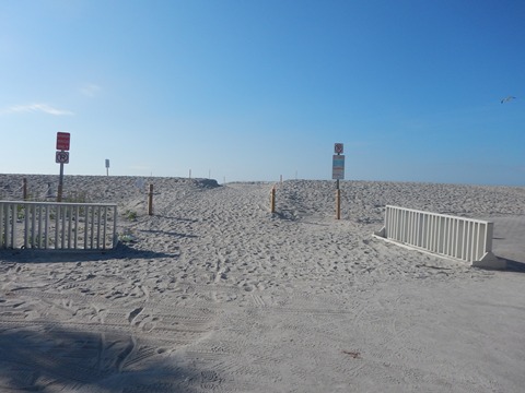
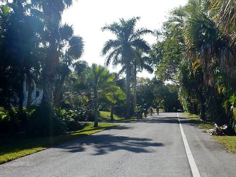
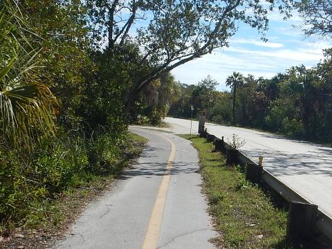
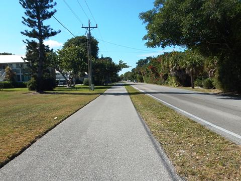
Starting at Rabbit Road and going east on West Gulf Drive, the roadside path passes many residences and accommodations. Here it runs along the roadside, about 2 miles to Tarpon Bay Road.
- The beach is to the south - restrooms, outdoor showers, and bike racks.
- For parking, go north on Tarpon Bay Rd.
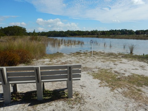
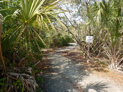
Tarpon Bay Road North - Parking, Bailey Tract
At Tarpon Bay Road, the parking area is to the north (parking fee, bikes are free; restrooms, outdoor shower, bike racks). Tarpon Bay Road is a north-south connector, from here it runs north about a mile to Periwinkle Way. Halfway along the way is Bailey Tract, a freshwater marsh where dikes were built to attract birds. Several routes are mapped out on the dikes, for about 3 miles of unpaved eco-biking.
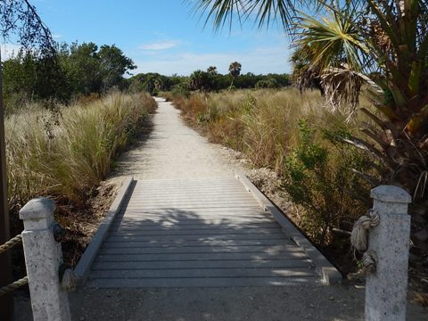
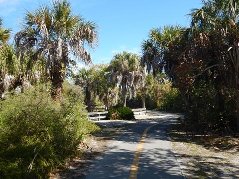
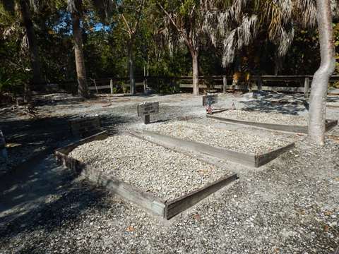
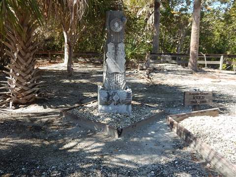
Casa Ybel Road and Cemetery Route
West Gulf soon becomes Casa Ybel Road. At Algiers Lane, the path crosses from the north to south side of the road. Here are 2 choices: (1) follow Casa Ybel to its end at Periwinkle Way (about 1.5 miles), or (2) our preferred route, follow the path south on Algiers toward Gulfside City Park Beach (fee parking, restrooms, picnic, boardwalk, outdoor shower). After about 2/10 mile (before reaching the park), the path turns off to the left. Continue another 2/10 mile to the historic Sanibel Cemetery - records are spotty, but the earliest marked graves date to the 1880's. Past the cemetery, it's less than 1/10 mile to Middle Gulf Road.
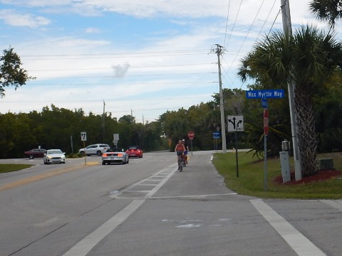
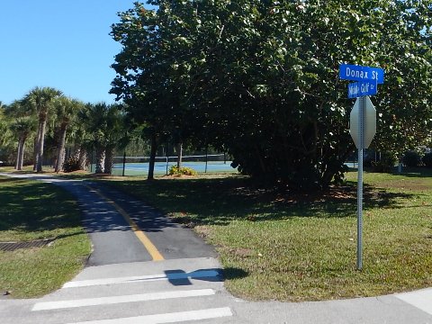
Middle Gulf and East Gulf Drives
This section features no major sights but many resorts and condominiums. There are some turns along this route, watch for the directional signs. After 1.5 miles along Middle Gulf is another north-south connector, Donax Street, which runs about 1/2 mile to Periwinkle Way near Roadside City Park. Middle Gulf ends at Nerita St. and runs north a couple of blocks to the start of East Gulf Drive. Yet another north-south connector is at Lindgren Blvd., which leads back to Causeway Blvd. (about a half mile). East Gulf ends at Periwinkle Way in 1.5 miles, then Periwinkle Way arrives at Lighthouse Beach Park in another 1/2 mile.
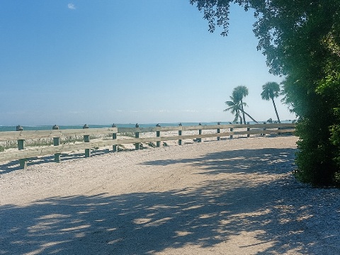
Lighthouse Beach Park and the Sanibel Lighthouse
Lighthouse Beach Park is located at the end of the island. The park covers 32 acres including the lighthouse, fishing pier and two beach areas.
Lighthouse Beach Park (south beach)
- As you enter the park, the bike path turns right and ends at the south beach parking lot.
- Paid parking is available, along with bike racks, restrooms, outdoor showers, and picnic pavilions.

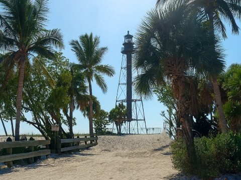
Sanibel Lighthouse and North Beach
The Sanibel Lighthouse (also known as the Point Ybel Light) has been in service since 1884, marking the entrance to San Carlos Bay. Some are disappointed - this is an iron skeleton tower, there's a central stairwell but visitors are not allowed.
- To go to the Lighthouse and north beach, go left on Periwinkle Way (there's no bike path, ride on the roadway).
- Pay parking, beach access. The road past the parking area was closed, but you can walk or bike to the lighthouse.
- Structures that used to surround the lighthouse were destroyed, but damage to the lighthouse has been repaired.
- The fishing pier near the Lighthouse was damaged and still closed on this visit.
Westbound - Sanibel Lighthouse Return to Causeway - 2 miles
Our route now runs west along Periwinkle Way to Causeway Blvd. to the Causeway and a loop back to the Visitor Center.
Lighthouse Return to Causeway
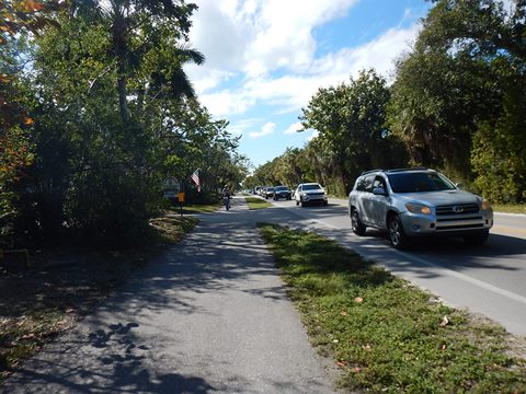
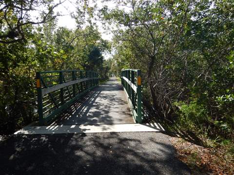
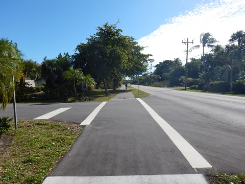
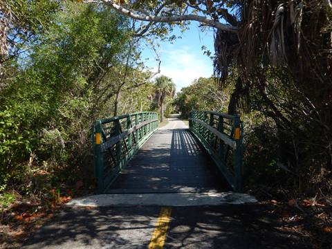
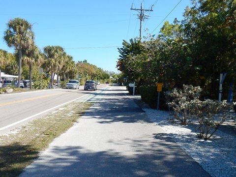
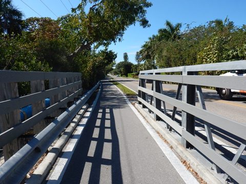
Returning west from the Lighthouse to the Causeway is an easy, mostly unshaded ride past homes and light commercial areas. A couple of boardwalks cross over canals.
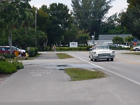
- At Causeway Blvd. is a busy intersection with a crossing guard directing traffic (again, no traffic lights on Sanibel).

Causeway Blvd. Loop
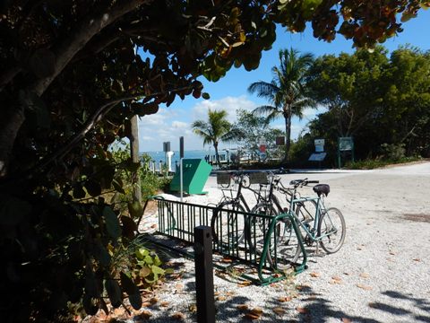
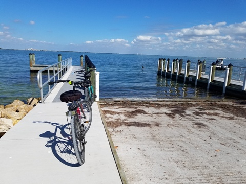
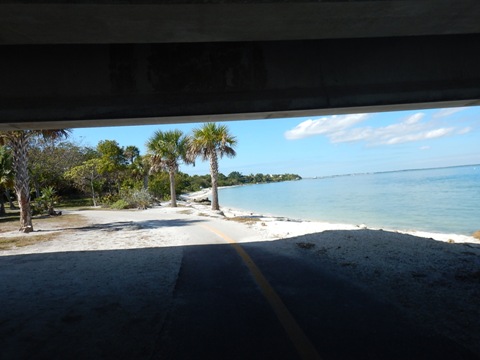
From Periwinkle, a path goes north on the east side of Causeway Blvd. You can bike back to the mainland on the shoulder across the Causeway, but the path continues to the right, parallel to the Causeway. It passes the Sanibel boat ramp and goes under the causeway, then turns south on the west side of Causeway Blvd. to return to the Visitor Center.


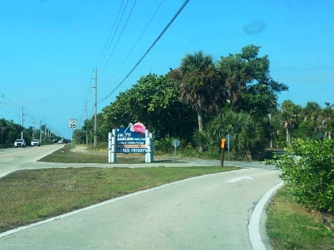
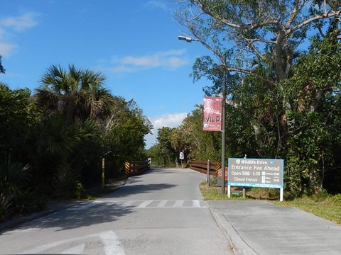
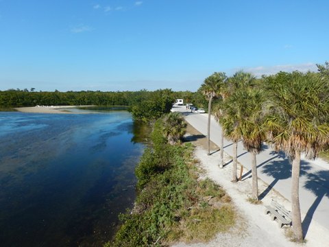
J.N. "Ding" Darling Wildlife Refuge
The J.N. "Ding" Darling Wildlife Refuge, established in 1945, is part of the largest undeveloped mangrove ecosystem in the United States. It's named for Jay Norwood "Ding" Darling, who was instrumental in its creation. A Pulitzer Prize winning editorial cartoonist, he was an avid conservationist and a founder of the National Wildlife Federation in 1938.
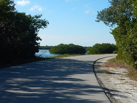
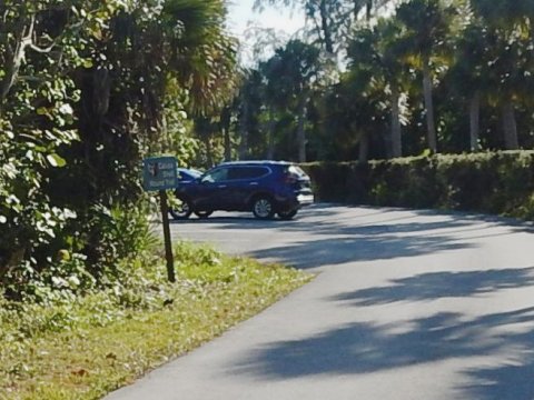
- Wildlife Drive is paved, running 4.3 miles one-way starting from the Visitor & Education Center. A fee applies to enter the Drive, the Visitor & Education Center (parking, interactive exhibits and bookstore) is free. Note: The Drive is closed on Fridays.
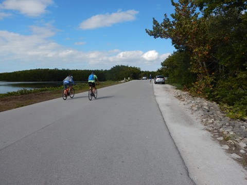
- Bikers share the Drive with pedestrians, cars, and a tram, but with a 15 mile speed limit and everyone stopping to take in the views, there are few conflicts.
- Tram tours are run by Tarpon Bay Explorers (Refuge concessionaire) on Tuesdays, Thursdays, and Saturdays.
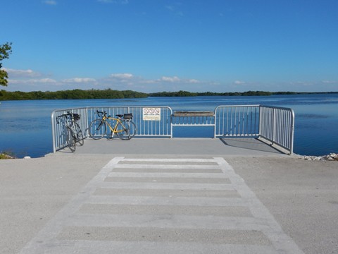
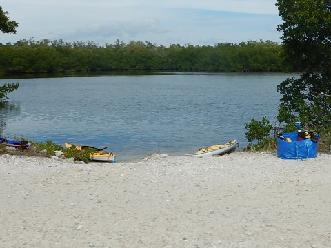
- There are 2 paddlecraft launch spots along the Drive, we saw some kayakers.
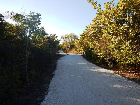
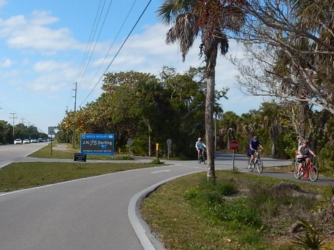
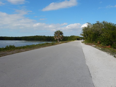
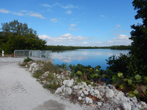
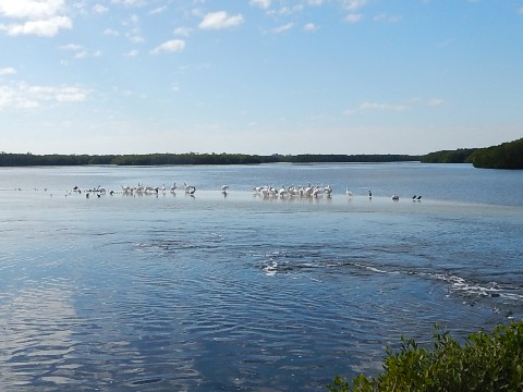
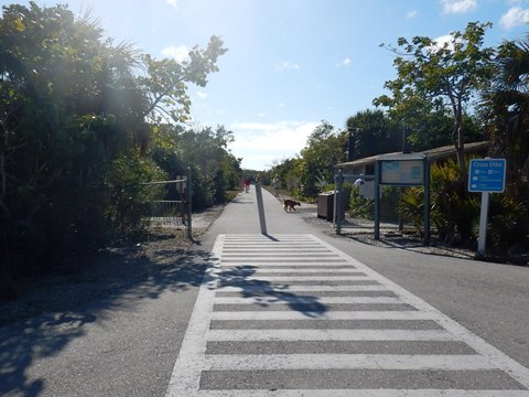
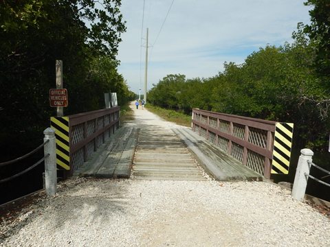
San-Cap East Entrance to Observation Tower
The first 2 miles to the Observation Tower are most scenic, surrounded by water and associated wildlife. Shortly before the tower, bikers and walkers can turn onto paved Cross Dike Trail to hard-packed Indigo Trail back to the entrance, shortening the round-trip to 3.7 miles. The restroom at Cross Dike Trail is a welcome amenity.
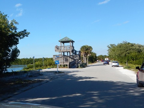
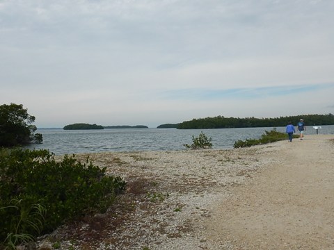
Observation Tower to San-Cap West Exit
Continuing west from the observation tower, the Drive is a bit less open with more mangrove.
- The Wulfert Trail runs along a powerline 1/4 mile to a view of the Wulfert Keys.
- At the end of the Drive is a walking trail to the Calusa shell mounds (currently closed due to hurricane damage).
- Where the Drive ends continue on the road, arriving back onto San-Cap. Return east along San-Cap to the Ding Darling main entrance, or continue west to Captiva Island.
More Information and Resources
Nearby Biking:
John Yarbrough Linear Park Trail
Punta Gorda Pathways
Southwest FL Region - More
trails plus Regional Overview map
Nearby Paddling:
Sanibel Island (Tarpon Bay, Commodore Creek)
Resources:
Sanibel Island Chamber of Commerce - Biking on Sanibel Island
U.S. Fish and Wildlife Service - J.N. "Ding" Darling National Wildlife Refuge
Find Trails by FL Region or Listed A - Z

100FloridaTrails.com... 100+ Florida Multi-use Bike Trails, Best for Safe, Fun Recreation and Fitness
Other Websites:
BikeOrlando.net
PaddleFlorida.net
BikeTripper.net
Copyright © 100FloridaTrails.com. All Rights Reserved.