100 Florida Trails®
Top FL Multi-use Bike Trails
Map Links & Photos Galore
Coast-to-Coast Updates
You are here > Home >
Trails >
South FL-West >
Cape Haze Pioneer Trail
Reported: January 2020
Cape Haze Pioneer Trail... Florida
Bike One of Florida's First Rail-Trails... E-Z Map, 20+ Photos
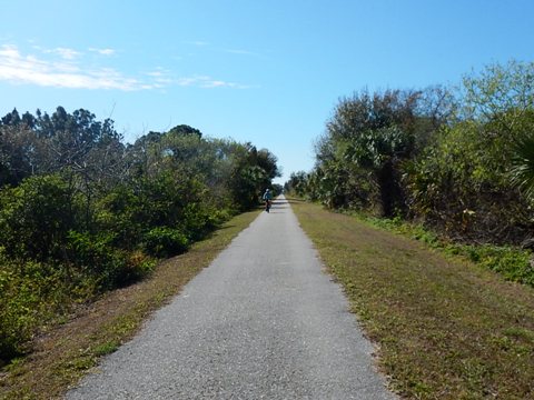
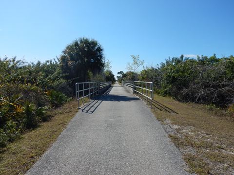
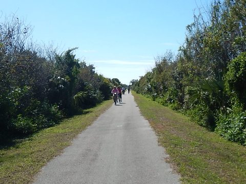
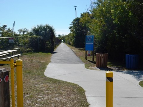
The 8-mile bike trail runs the length of the Cape Haze Peninsula from western Port Charlotte to Placida and the Boca Grande Causeway. Most of it follows the right of way of the former Charlotte Harbor and Northern Railway. The first section was opened in 1999, making this one of Florida's first rail-trails. It's hard to call this a scenic ride since it mostly goes through scrub and can get a bit monotonous, but it's one of the busiest trails we've seen - a good alternative to busy SR 771. Wide, flat and nicely maintained, the downside is there's little shade. Five trailheads include restrooms or portalets, and benches are provided along the way. (Map link and photos below.)
Location: Charlotte County
End Points: Cape Haze Peninsula - Port Charlotte to Placida
Mileage: 8 miles
Surface: Asphalt, 10'
Nearby points of interest: Gasparilla Island/Boca Grande
Bike Shops/Rentals:
Trek
Bicycle Store - Port Charlotte
Page Summary:
- Biking on Cape Haze Pioneer Trail
- Cape Haze Pioneer Park to Clubhouse Drive Trailhead
- Clubhouse Drive Trailhead to Boca Grande Causeway - More Information and Resources
Biking on Cape Haze Pioneer Trail... Comments and Photos
Cape Haze Pioneer Park to Clubhouse Drive Trailhead
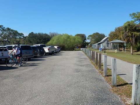
We biked from north to south. At the north, the trail begins at the
Robert and Ann Mercer Trailhead along SR 771 (Gasparilla
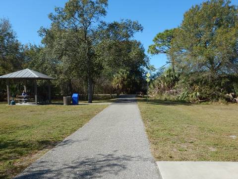
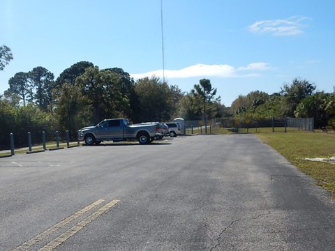
Road) south of SR 776/McCall Road (parking*, restrooms,
picnic pavilion). Historic markers tell of the former Town of
McCall at this site (1909, established for railroad workers),
and houses the Placida Bunk House (1907, relocated here
to protect it from demolition).
*Hint: If the parking spaces are filled up, park at the Publix shopping center
at the SR771/776 intersection and bike on the sidewalk path to the trail.
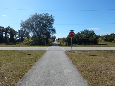
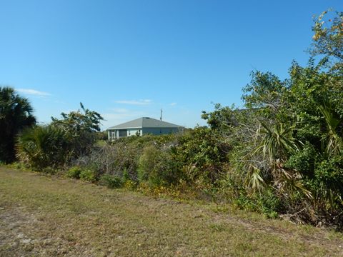
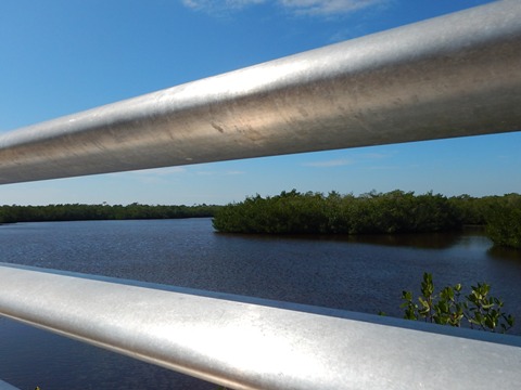
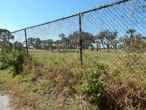
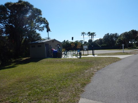
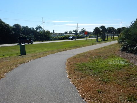
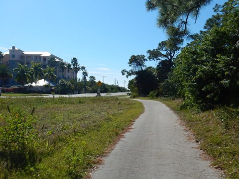
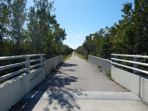
Following the trail south along the railroad corridor, it crosses a few roads but they're not heavily traveled. Though it appears rural, this is a developed area (the brush mostly hides the surroundings). Passing the community of Rotunda (L. David Johnson Trailhead, parking, picnic table, portalet) you can spot homes through the brush, plus there are some pass-throughs to neighborhood streets. Another trailhead is at Harness Road (parking, picnic table, portalet), then you enter a conservation area. The bridge crossing Coral Creek East Branch offers a scenic overlook. The trail passes Coral Creek Airport, but we didn't see or hear any planes. After passing the golf course at Coral Creek Country Club it arrives at a trailhead at Clubhouse Drive (parking, restrooms).
Clubhouse Drive Trailhead to Boca Grande Causeway
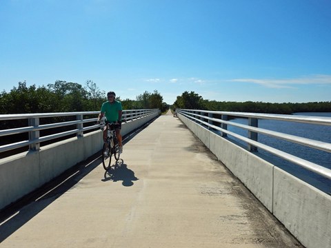
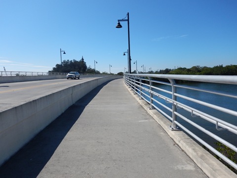
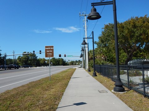
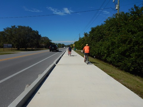
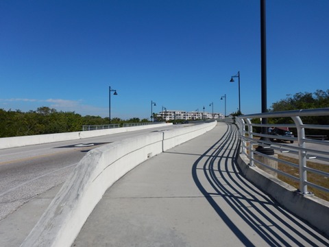
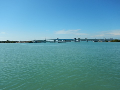
Past Clubhouse Drive, the trail runs into and then along SR 771
(Gasparilla Road), crossing the north side of the bridge at the
mouth of Coral Creek - bike/pedestrian path
separated from the road by a concrete divider is a plus - and ending
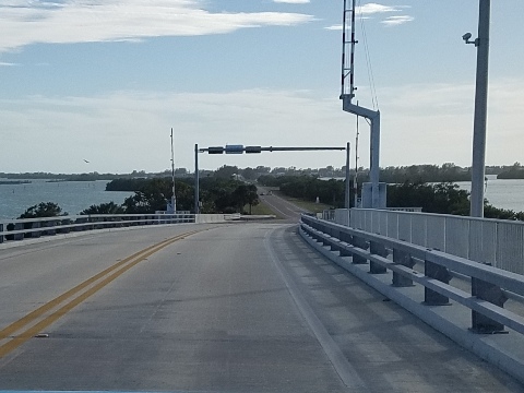
just north of the Boca Grande Causeway.* Continuing straight past
the Causeway, an unnamed bike path continues another 5 miles along
SR 775 (Placida Road).
*Note: It's possible to bike across the causeway - paying
the bike toll - to Gasparilla Island and the Boca Grande
Bike Path, be careful on the narrow shoulder.
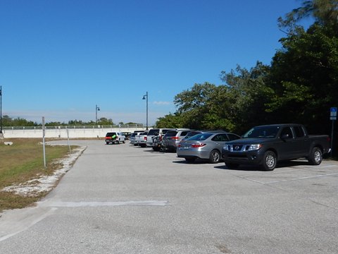
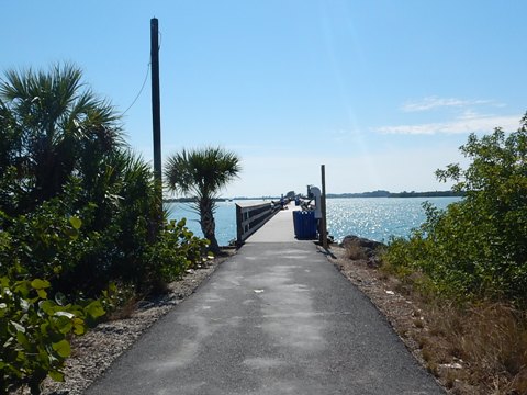
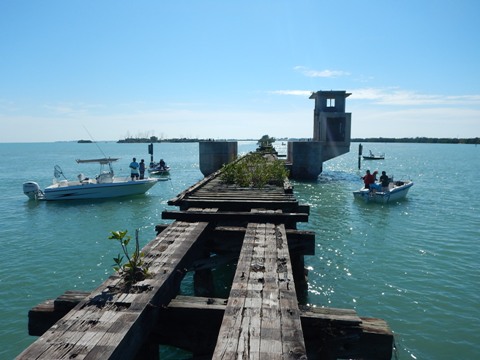
We initially couldn't identify a trailhead at this end, so went down along the Causeway to Placida Park at the boat ramp (fee paid lot). However, 2/10 mile east of the Causeway at Fishery Road we spotted a parking area under the Coral Creek bridge. A sign here notes it's part of the Cape Haze Pioneer Trail, a path leads across the bridge on the south side. There are no crosswalks connecting the north and south paths and SR 771 is quite busy at this point, perhaps one day a better crossing arrangement will be made. The parking is free, there's a portalet and a short trail down to the Centennial Park Fishing Pier, a former rail bridge paralleling the Boca Grande Causeway at Gasparilla Sound.
More Information and Resources
Nearby Biking:
Southwest FL Region - More trails plus Regional Overview map
Nearby Paddling:
Related Resources:
Find Trails by FL Region or Listed A - Z

100FloridaTrails.com... 100+ Florida Multi-use Bike Trails, Best for Safe, Fun Recreation and Fitness
Other Websites:
BikeOrlando.net
PaddleFlorida.net
BikeTripper.net
Copyright © 100FloridaTrails.com. All Rights Reserved.
