100 Florida Trails®
Top FL Multi-use Bike Trails
Map Links & Photos Galore
Coast-to-Coast Updates
You are here > Home >
Trails >
Florida Panhandle >
Gayle's Trails
Reported: August 2022
Gayle's Trails... FL Panhandle Biking
Bike Trail Network at Panama City Beach
Gayle's Trails is a paved trail network at the City of Panama City Beach, connecting parks and neighborhoods. This is not a beach trail, it parallels Panama Beach Pkwy. (US 98), about 1.5 miles north of Panama City's beaches. From the main trailhead at Frank Brown Park, the trail runs west to Conservation Park, north to the West Bay Bridge, and east to Colony Club. To the south, connectors run to US 98, providing links to Panama City Beach's more tourist-oriented areas. The trail system is named for former mayor and councilwoman Gayle F. Oberst, an advocate of trails and conservation. (Map link and photos below.)
Location: Panama City Beach (Bay County)
End Points: Frank Brown Park, Conservation Park,
West Bay Bridge (SR 79), Colony Club
Mileage: 9 miles
Surface: Asphalt, 8-12 feet
Nearby points of interest: Panama City Beach,
Conservation Park, St. Andrews State Park
Bike Shops/Rentals:
Po-Mans Bike Shop (sales, repair)
Steve's Bike
Shop (sales, repair)
Bike The
Beach (rentals)
Biking on Gayle's Trails... Comments and Photos
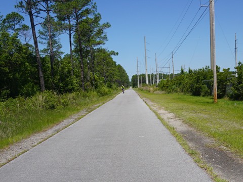
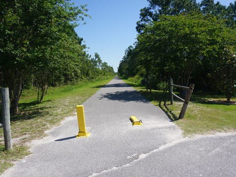
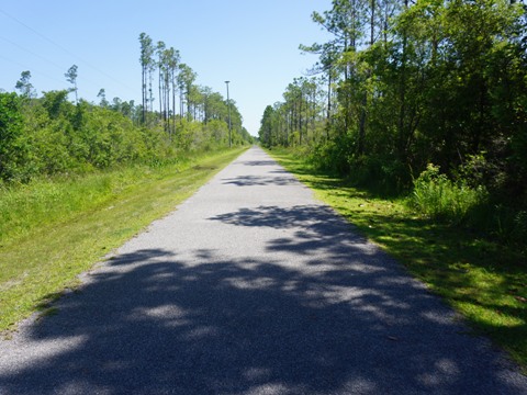
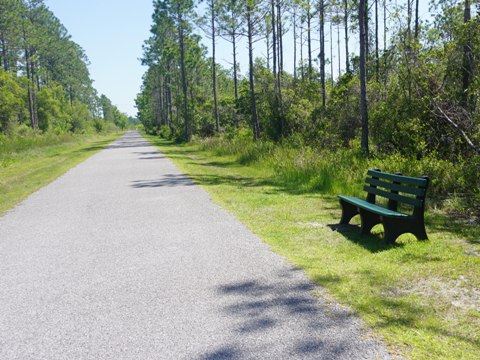
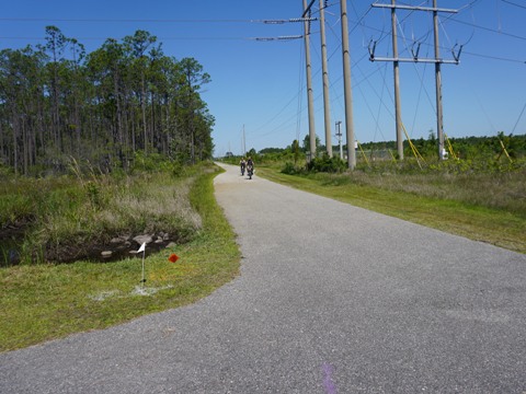
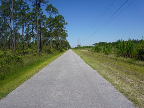
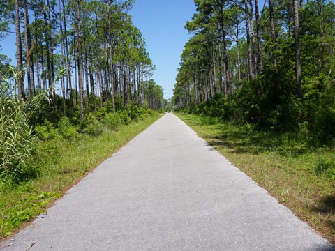
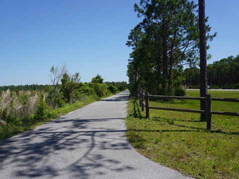
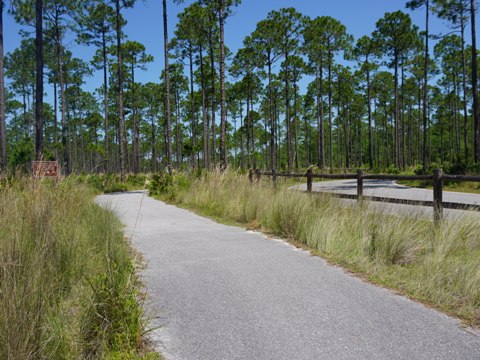
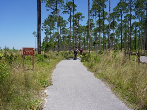
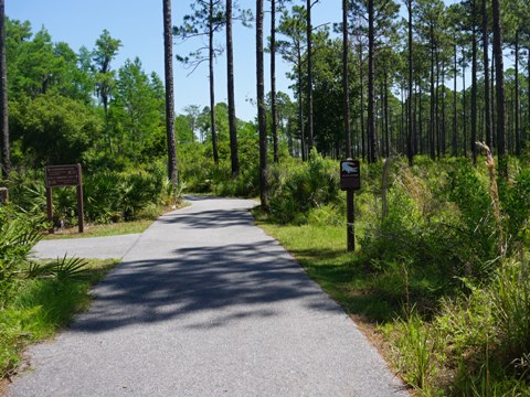
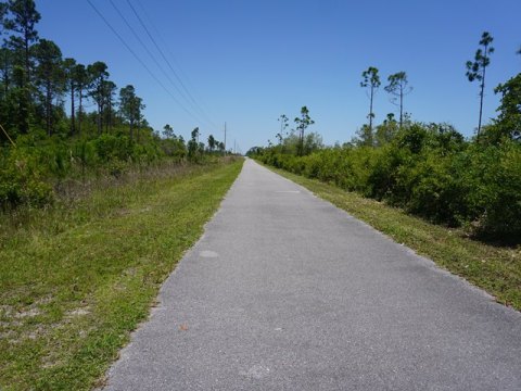
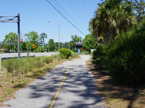
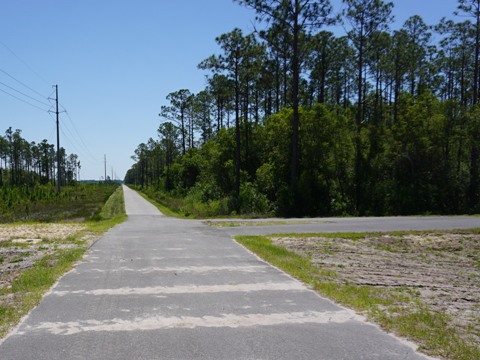
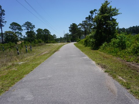
While not what we would consider a "destination" trail, this is a nice community asset popular with bikers, joggers and hikers. Road bikers will appreciate some of the long straightaways, with just a few large road crossings. Running along a powerline there's not a lot of scenic diversity, but it's an easy ride, totally off the roadway, and includes some wooded areas.
Frank Brown Park to Conservation Park - 2 miles
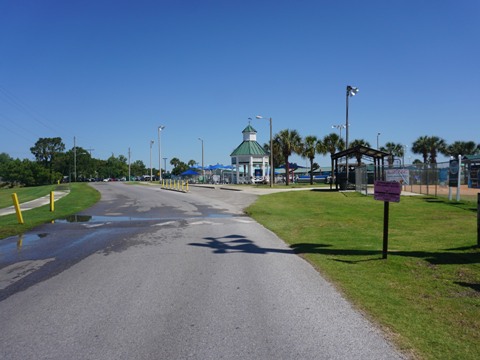
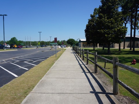
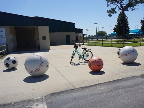
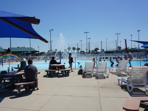
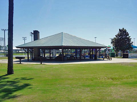
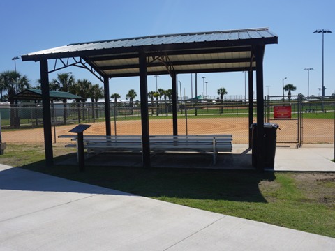
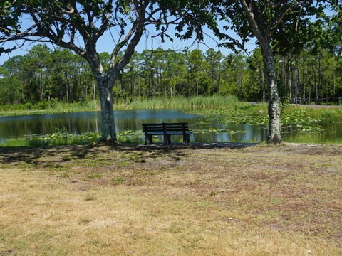
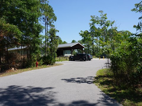
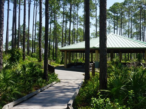
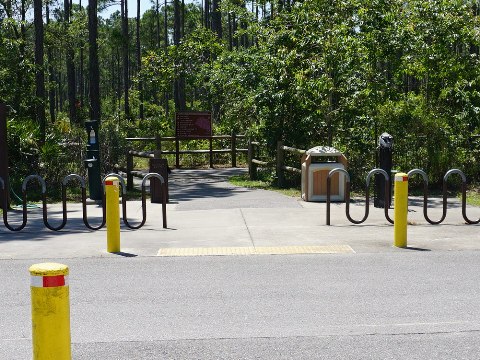
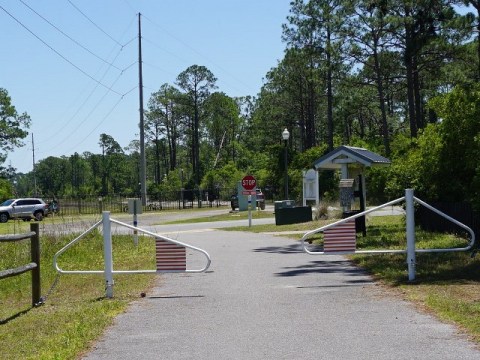
The main trailhead is at Frank Brown Park. The 200-acre park is Panama City Beach's largest, with parking, restrooms, picnic areas, playground, aquatic center, playing fields, fishing lake and pier. In addition to Gayle's Trails, the park has 3.5 miles of trails winding around its many amenities, lake and natural areas. From the north end of the parking lot, a connector trail runs north 4/10 mile to Gayle's Trails.
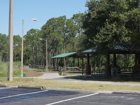

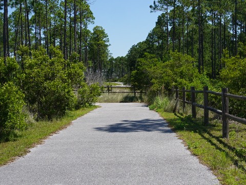
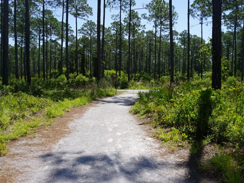
Trail to Conservation Park
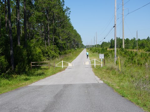
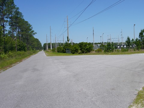
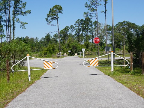
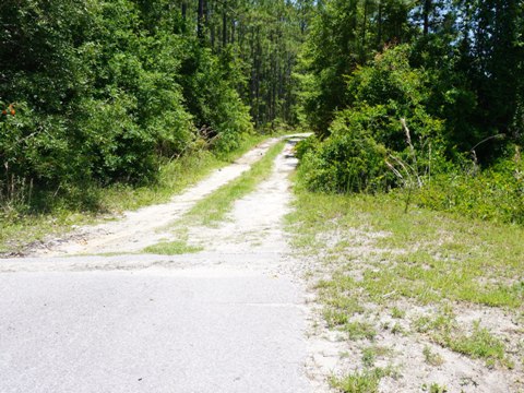
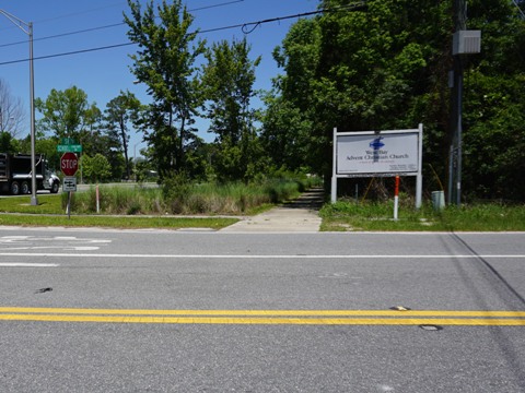
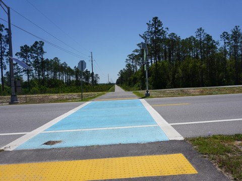
From the Frank Brown Park connector and going west, the trail runs along a powerline parallel to Bay Parkway - 250 feet, hidden by vegetation. In 1/2 mile the trail crosses busy SR 79 at a traffic light. Bay Blvd. ends here, and the trail follows the powerline another 1.2 mile through a wooded area to a power station. The powerlines end here and the trail continues through a wooded area to Griffin Blvd. Cross Griffin Blvd. (stop sign) and go right, this is the path to Conservation Park. The trail continues another 3/10 mile paralleling Griffin to Conservation Drive, the park road. At this point, Gayle's Trails ends and the paved path continues as Walt Oberst Way to the trailhead.
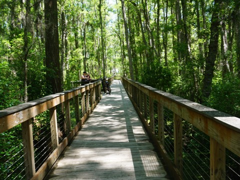
Conservation Park
Conservation Park, covering 2,900 acres, is a gem enjoyed by locals and visitors for biking, hiking and nature viewing. The park has 24+ miles of trails of varying lengths, and over a mile of boardwalk through the cypress. Parking, restrooms, picnic tables. There's too much to cover on this page, see our full report here.
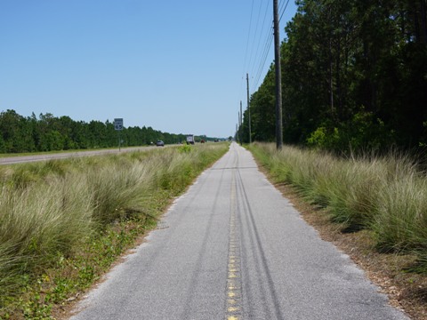
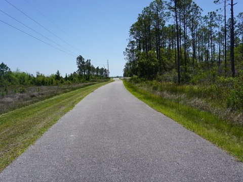
Trail along SR 79 - 5 miles
SR 79 Trail
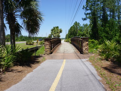
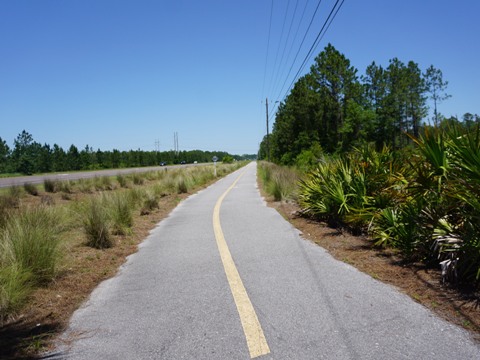
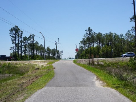
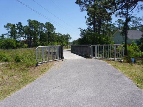
One-half mile west of Frank Brown Park, a branch off the main trail at SR 79 runs north-south for 5 miles - south for 1/2 mile toward US 98, and north to the West Bay Bridge. Running roadside with a wide median, the surroundings are wooded or scrub with no shade except for late afternoon in some sections. Several bridges cross small canals and ditches, a couple of crossings onto dirt roads, one road crossing at School Dr. Past here, the trail narrows and crosses the West Bay Bridge on a pathway separated by a concrete barrier, ending in about 1/4 mile at SR 388.
Frank Brown Park to Colony Club Trailhead - 2 miles
Trail to Colony Club
East from Frank Brown Park, the trail continues along the powerline, with road crossings at Bay Blvd. and Philip Griffitts Sr. Blvd. (more below). It ends at the Colony Club Subdivision. A trailhead but no parking is located at Moonlight Bay Dr.
3 Connectors in this Section
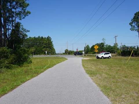
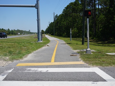
The trail parallels and crosses both Bay Pkwy. and Philip Griffitts Sr. Pkwy., built as bypasses to divert traffic off Panama City Beach Blvd. (US 98) and ease congestion at the popular Pier Park shopping, dining and entertainment complex. In this section are three connectors that run south to US 98:
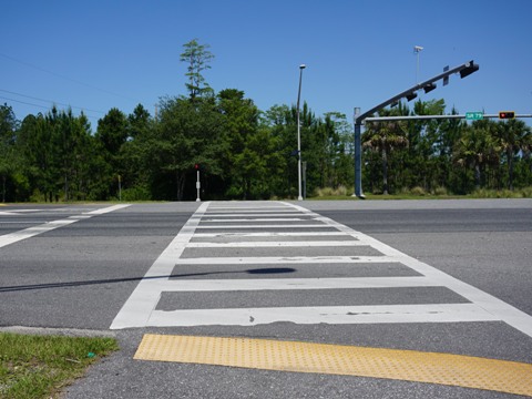
- The trail crosses Bay Pkwy. 1/10 mile east of Frank Brown Park. This is a busy intersection, take care and use the crossing lights. The connector trail continues alongside Bay Pkwy. to US 98 at Pier Park, about a mile. Past US 98 it continues to Aaron Bessant Park, which includes another 1.5 miles of trails including a link to the beach (which stretches 27 miles along the Gulf) and Panama City Beach Pier.
- In another 1.25 mile eastbound, now paralleling Philip Griffitts Sr. Pkwy., a trail branches off to the right and runs south to a trailhead at the end of Gulf Blvd., another route to US 98.
- Then in 2/10 mile comes a busy road crossing where Philip Griffitts Sr. Pkwy. bends and the trail crosses - be very careful and use the crossing lights. A roadside trail runs along Philip Griffitts Sr. Pkwy south one mile to Nautilus St. which continues to US 98.
Multi-use trails run along sections of US 98 and more are under construction as part of ongoing FDOT road improvement projects. We've been pleased to see new road construction these days include parallel - but off-street multi-use bike trails. While not usually the most scenic ride, they provide a safer and more enjoyable alternative to biking on the roadway.
More Information and Resources
Nearby Biking:
Conservation Park (eco)
Timpoochee Trail
FL Panhandle Region -
More trails plus Regional Overview map
Related Resources:
Panama City Beach - Gayle's Trails
Panama City Beach - Map - current and future trail system
Find Trails by FL Region or Listed A - Z

100FloridaTrails.com... 100+ Florida Multi-use Bike Trails, Best for Safe, Fun Recreation and Fitness
Other Websites:
BikeOrlando.net
PaddleFlorida.net
BikeTripper.net
Copyright © 100FloridaTrails.com. All Rights Reserved.