100 Florida Trails®
Top FL Multi-use Bike Trails
Map Links & Photos Galore
Coast-to-Coast Updates
You are here > Home >
Trails >
Florida Panhandle >
Timpoochee Trail
Latest update: October 2022
Timpoochee Trail... Florida Panhandle
18.5-Mile Paved Bike Trail along Florida's Gulf Coast
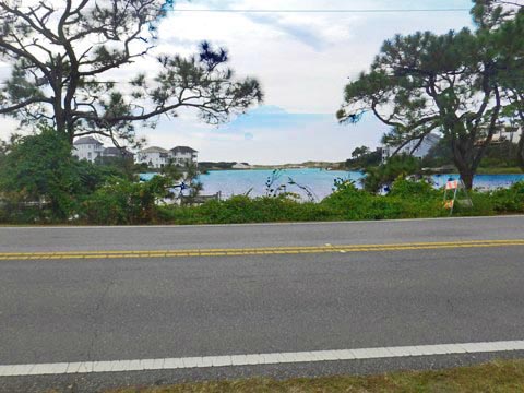
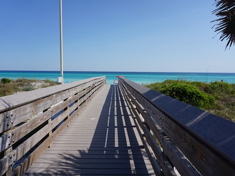
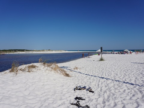
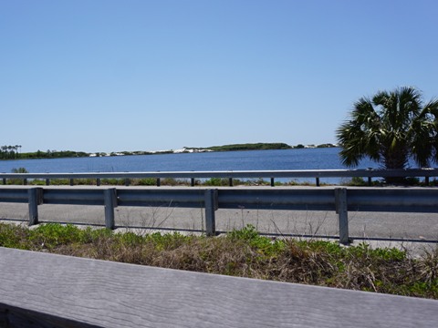
The Timpoochee Trail parallels virtually the entire length of "Scenic CR 30A" (old US 98) near the Gulf of Mexico, going past 3 Florida State Parks and through multiple beach communities. Rare natural features found here are the coastal dune lakes, which exist in only five places around the world - with others in Madagascar, New Zealand, Australia, and Oregon. Scroll down for our trail map noting public parking and beach access, over 80 trail photos (in-sequence), plus our favorite trail section for the best recreational biking.
Location: South Walton County, FL
End Points: CR 30A, Topsail Hill Preserve State Park to Inlet Beach
Mileage: 18.5 miles
Surface: Asphalt, most 8'
Trailheads/Parking: Free Public Parking - Dune
Allen Beach Access, Ed Walline Beach Access, Blue Mountain Beach,
Seaside, Greenway Park, Walton Dunes
Nearby points of interest: Topsail Hill Preserve State Park,
Grayton Beach State Park, Deer Lake State Park, Camp Helen State
Park, Eden Gardens State Park, Point Washington State Forest
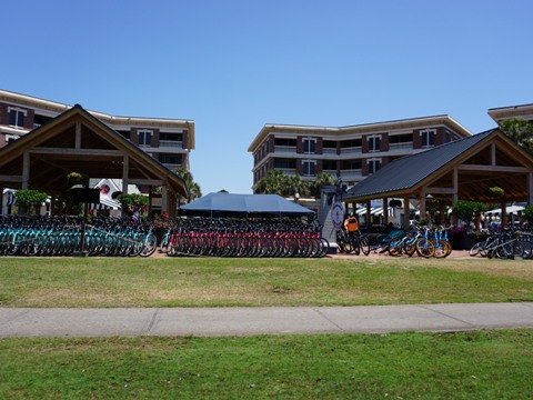
Bike Shops/Rentals:
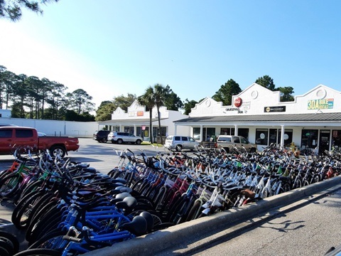
30A Bike
Rentals (rentals,
repairs)
Big
Daddy's Bike Shop (rentals,
sales, service)
Big
Fish Bike Rentals (rentals)
Butterfly
Bike & Kayak (rentals)
Pedego Electric Bikes (rentals,
sales, service)
Peddlers
(rentals)
Reef Beach Service
& Rentals
(rentals)
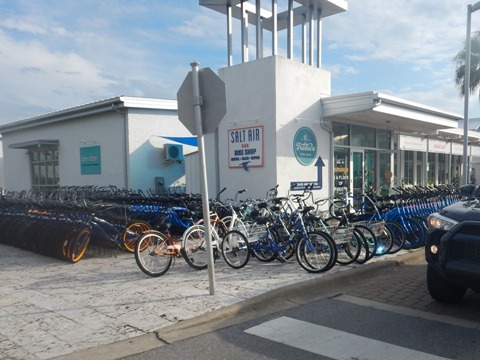
Salt Air 30A Bike Shop
(rentals, repairs)
YOLO Board & Bike
(rentals, sales, service)
Page Summary:
- Biking the Timpoochee Trail
- Topsail Hill Preserve State Park to Blue Mountain Beach
- 5.5 miles
- Trail Start to Ed Walline Beach Access
- Ed Walline Beach Access to Blue Mountain Beach - Blue Mountain Beach
to Seaside - 4 miles
- Blue Mountain Beach to Grayton Beach State Park, Grayton Beach, Grayton Dunes Beach Access
- Grayton Beach State Park
- Grayton Beach State Park to Seaside - Town of Seaside to Trail's End (9 miles)
- Seaside to Seagrove Beach
- Seagrove Beach to Seacrest Beach
- Seacrest Beach to US 98 - More Information and Resources
Biking the Timpoochee Trail... Comments and Photos
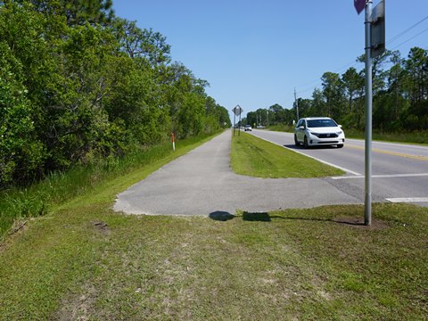
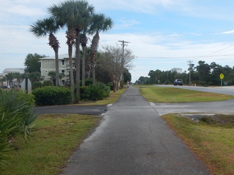
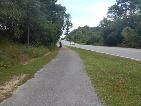
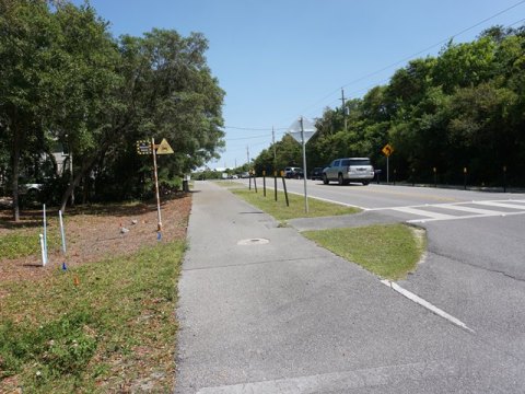
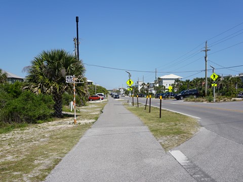
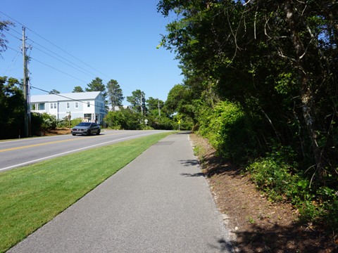
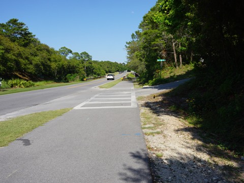
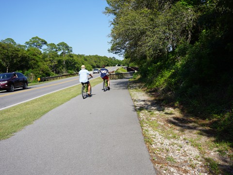
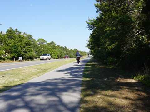
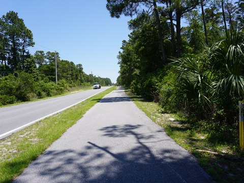
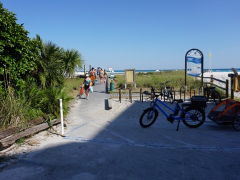
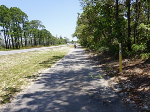
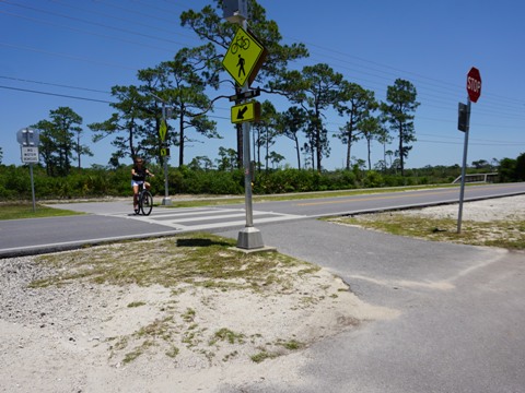
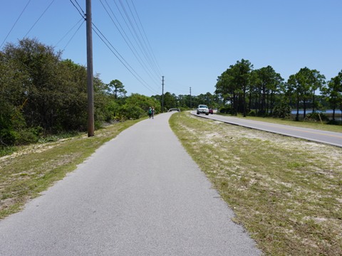
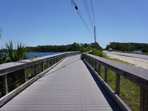
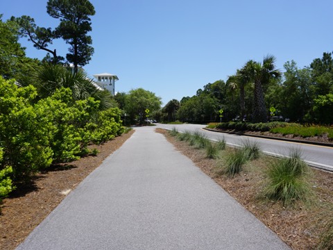
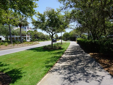
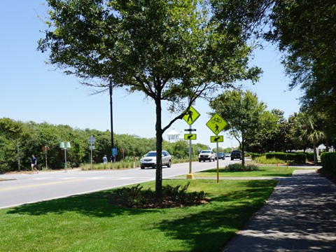
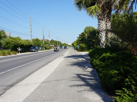
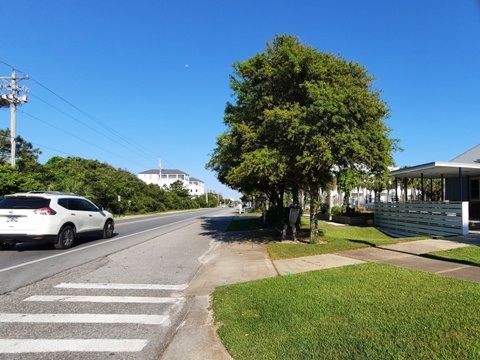
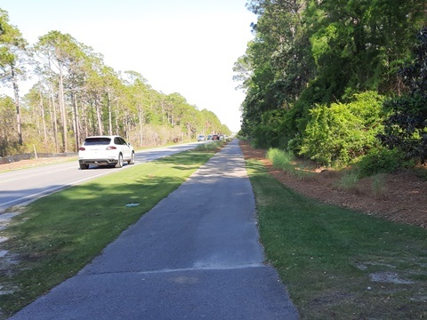
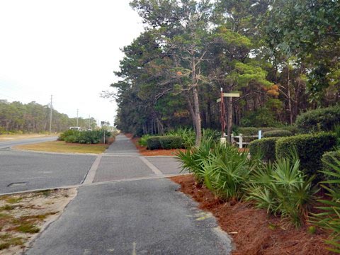
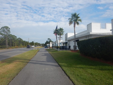
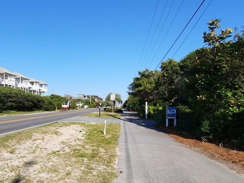
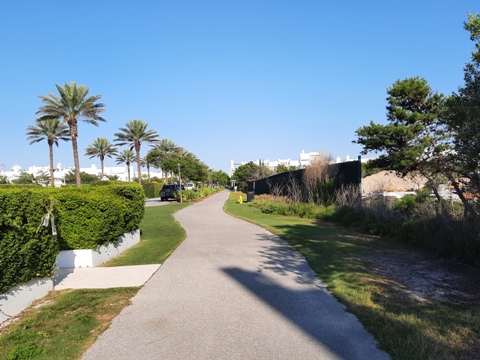
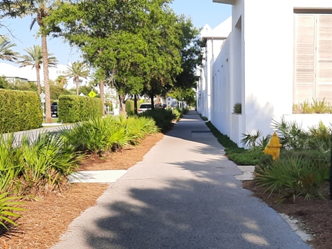
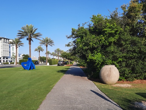
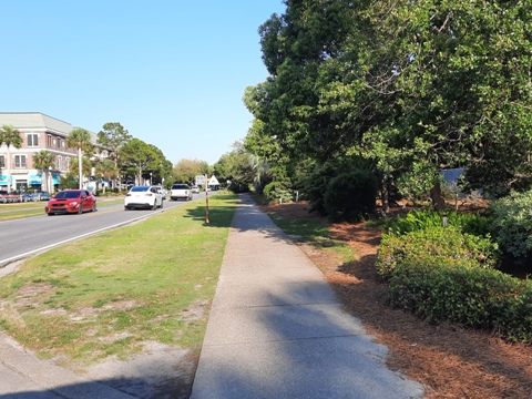
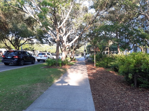
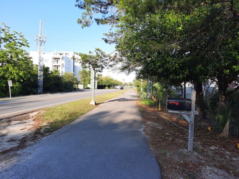
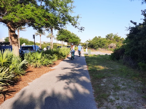
The entire trail runs next to CR 30A, mostly with a grassy 5-10' median, typically not great for recreational biking, but that would be missing the point. Biking is a perfect way to explore the areas's natural features - the the coastal dune coastal dune lakes, State Parks, and many beach accesses (with bike racks) - with options galore for refreshments. The ride is variously through busier beach communities and quieter natural areas. The trail's mid-point is in the planned community of Seaside (built 1981, location for the movie “The Truman Show,” worth a look). East from Seaside - the trail passes more public beach access, but it's more built-up, with much new construction resulting in more road and driveway crossings. West from Seaside - here's more natural area with a wider median and it's overall less congested. Below we show the ride from west to east. Tip: the 4 mile section between Blue Mountain Beach and Seaside is the most scenic, passing through the unspoiled lands of Grayton Beach State Park and adjoining Preserve.
Here we visit the trail from West to East
Topsail Hill Preserve State Park to Blue Mountain Beach - 5.5 miles
Trail Start to the Ed Walline Beach Access (3.25 miles)
Features: 3 Coastal Dune Lakes, 1 State Park, 2 Beach Accesses
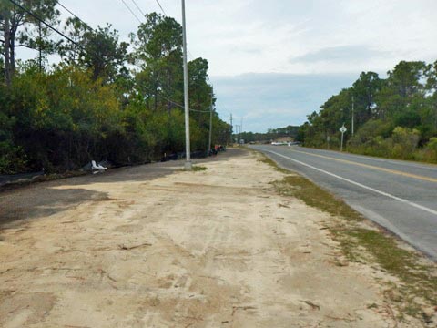
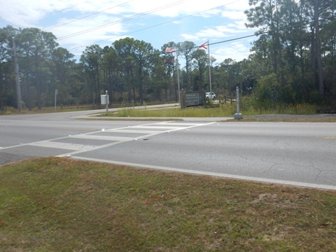
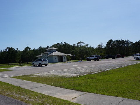
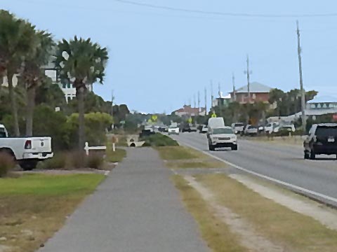
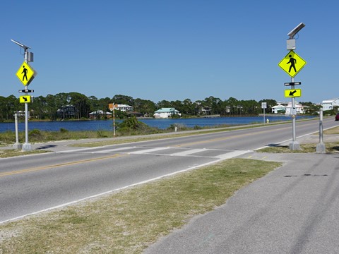
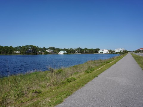
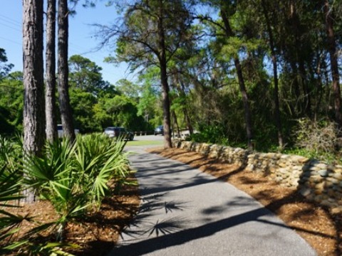
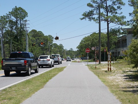
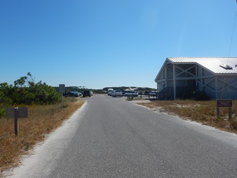
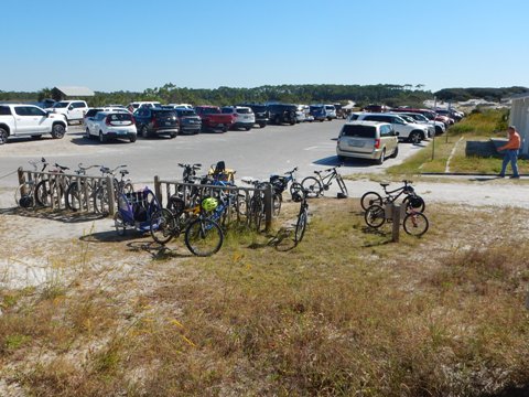
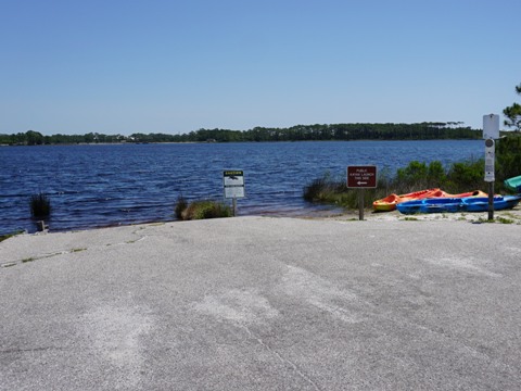
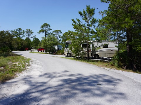
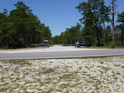
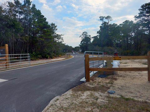
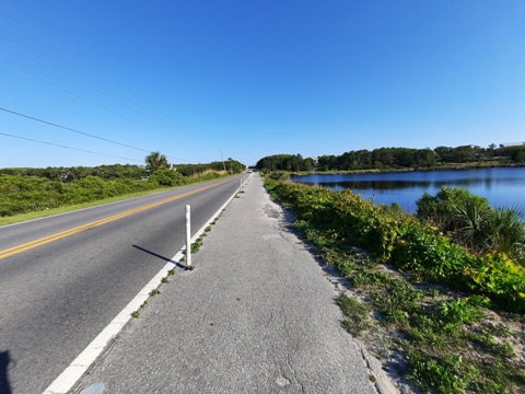
The Timpoochee Trail begins ("Mile 0") about 0.2 mile south of the intersection of US 98 and CR 30A (a new connector runs along CR 30A to US 98), then 0.15 mile to the entrance of Topsail Hill Preserve State Park ($2 for bicyclists, parking, restrooms, picnicking, concession, beach, biking and hiking trails, camping, paddling). About 0.6 mile past Topsail, homes begin to appear along the trail and it passes an elementary school (watch for children, cars and buses). The 10' grassy road median gradually narrows to 5-8'. At about 1.3 miles, Stallworth Lake appears on the right - the first of many coastal dune lakes seen on the ride.
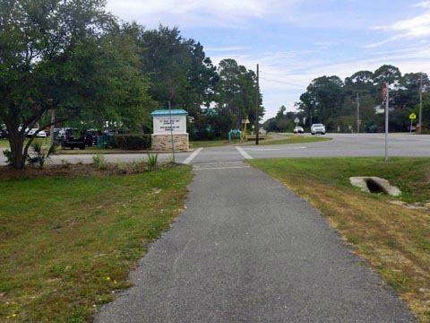
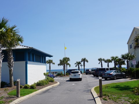
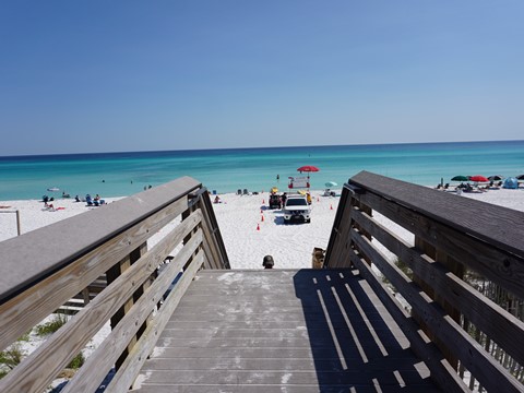
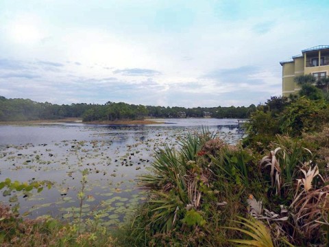
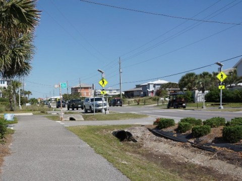
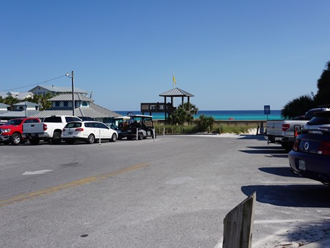
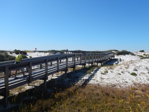
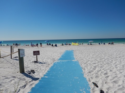
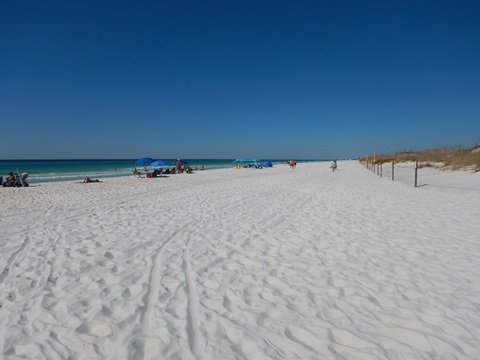
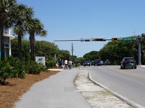
The trail continues past homes and in another half mile comes to a crosswalk to Dune Allen Regional Beach Access (parking, restrooms, beach). After passing popular Stinky's Fish Camp and Allen Lake, the trail runs through a more commercial area, crossing CR 30A a few times. Just past Oyster Lake is the Ed Walline Beach Access (parking, restroom, picnic area, and a unique, two-story viewing platform). Gulf Place Town Center at Ed Walline Beach has shops and restaurants.
Trail Start to Stallworth Lake
Stallworth Lake to Ed Walline Beach Access
Ed Walline Beach Access to Blue Mountain Beach (2.25 miles)
Features: 1 Coastal Dune Lakes, 1 Beach Access
Along the Trail
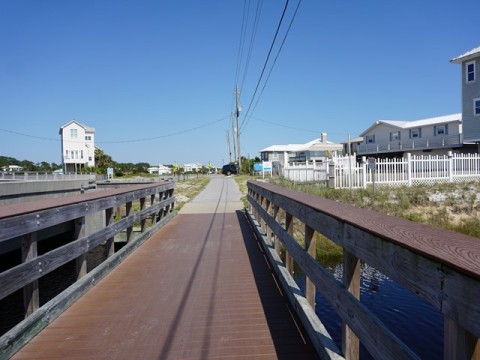
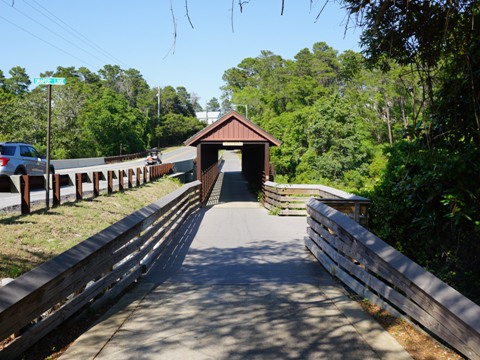
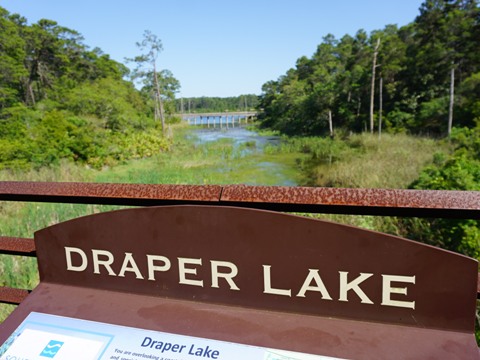
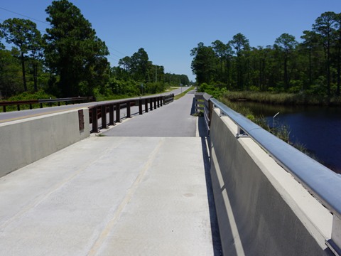
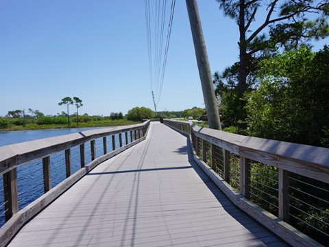
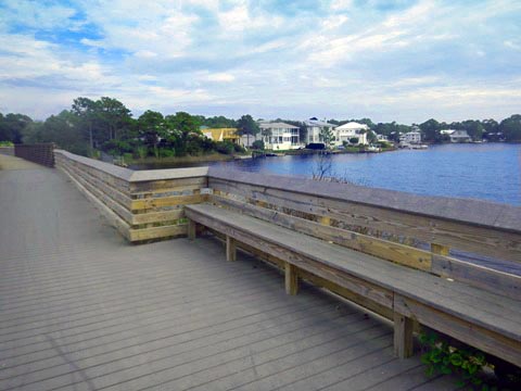
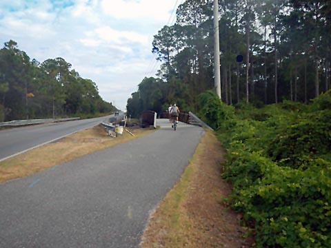
This section starts out as commercial but gets more scenic as it approaches Draper Lake. The covered bridge crossing at Draper Lake is a scenic highlight. From here, it's another 1.4 mile to Blue Mountain Beach - the highest point along 30A, with some slight inclines on the trail in this section.
Blue Mountain Beach to Seaside - 4 miles
Blue Mountain Beach to Grayton Beach State Park (2.6 miles)
Features: 3 Coastal Dune Lakes, 1 State Park, 3 Beach Accesses
Along the Trail
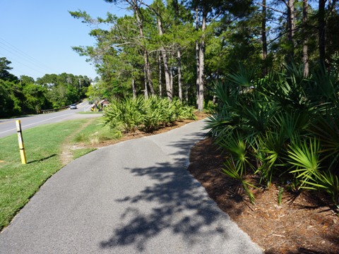
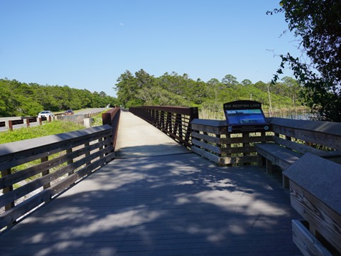
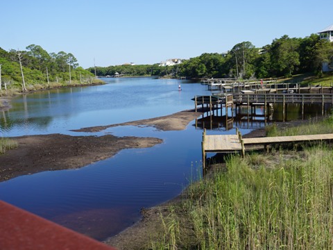
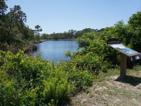
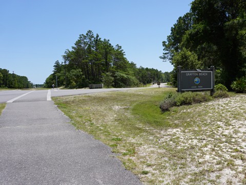
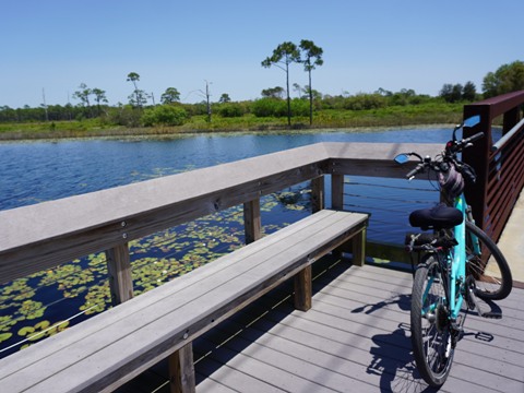
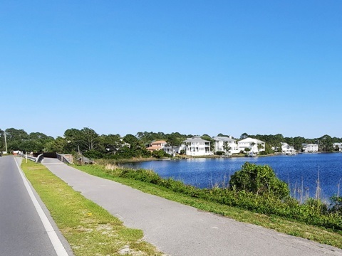
Our favorite trail section for biking begins about 2/10 mile past Blue Mountain Beach Access, with more natural scenery, including views of three Coastal Dune Lakes - Big Redfish Lake, Little Redfish Lake, and Alligator Lake. This section passes through Grayton Beach State Park, where the trail is separated from the roadway by a wider grassy median. For a short side trip - just past Alligator Lake, check out Old Grayton Beach and Grayton Dunes Beach Access. Continuing another 0.6 mile along CR 30A is the main entrance to Grayton Beach State Park ($2 for bikes, or annual pass).
Side Trip - Old Grayton Beach and Grayton Dunes Beach Access
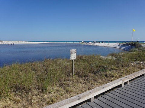
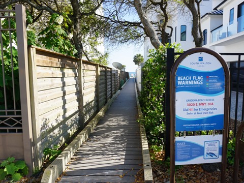
Just before the entrance to Grayton State Park, a short scenic side trip is to turn south on DeFuniak St. and ride a few blocks to the funky old town of Grayton Beach (and its restaurants), and Grayton Dunes Beach Access (parking, showers, boardwalk). Here is an excellent view of the Western Lake "outfall."
Grayton Beach State Park
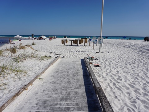
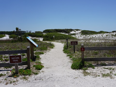
Grayton Beach State Park is a gem, with something for everyone. Covering 2,000 acres, there are parking, restrooms, beach (one of the most pristine in the USA), unpaved 4.5 mile bike/hike trail, paddling on Western Lake (rentals available), fishing, picnicking, and camping (RV, tent, and cabins). We also enjoyed kayaking on Western Lake, see link below.
From Grayton Beach State Park Entrance to Seaside (1.4 miles)
Features: 1 Coastal Dune Lake, 1 State Park, Multiple Beach Accesses and Parking
A Natural Section along the Trail
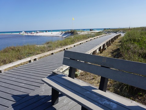
Continuing the ride from Grayton Beach State Park, the entrance to the State Park Bike/Hike Trail is across to the left at about 0.2 mile. The trail crosses the road as it approaches Western Lake, the largest of the coastal dune lakes. Along the trail, two trail bridges cross the lake, with views all the way out to the beach. After crossing the second bridge and leaving Park property, it's about 0.25 mile to the town of Seaside.
Town of Seaside
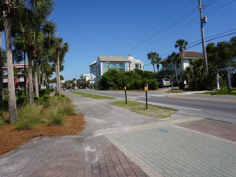
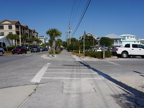
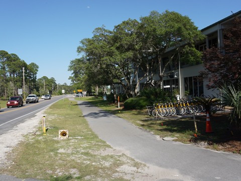
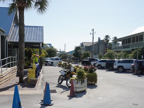
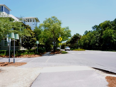
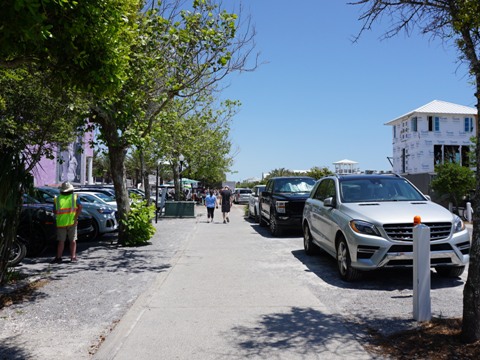
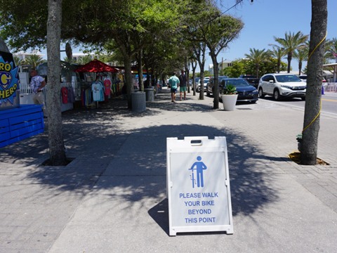
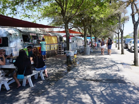
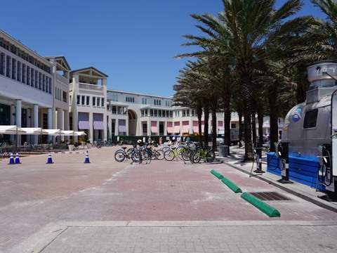
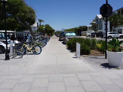
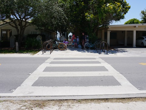
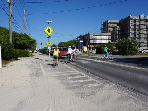
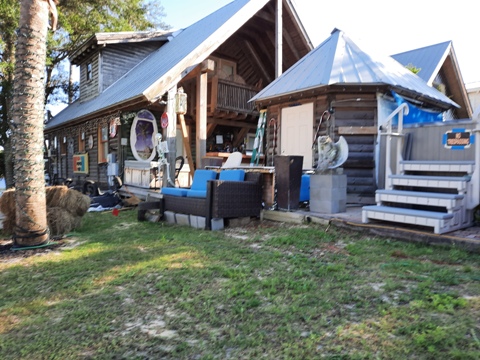
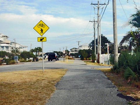
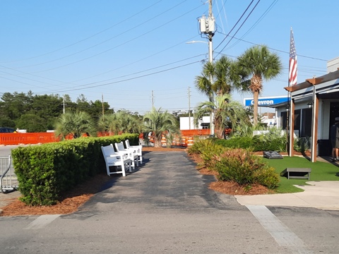
Entering Seaside, the trail crosses CR 30A at Buttercup St., then re-crosses in 0.25 mile at Western Lake Drive and proceeds through the town center. This is a popular destination and parking can be a challenge - the best option is the Van Ness Butler Beach Access lot (restrooms, bike racks) - so biking is a good way to get around. A shuttle also runs from Grayton State Park. With many street crossings and crosswalks (often to a beach access), the trail here also can be crowded with pedestrians - be careful and practice good etiquette. At the town center are the colorful Airstream Row retro food trucks - biking through not allowed - dismount and walk your bike, or detour around through Central Square.
Seaside is a planned community, a model of "New Urbanism" with many shops, restaurants, art, events, and picturesque architecture (it's so "perfect" it served as the backdrop for Jim Carrey's movie The Truman Show).
Town of Seaside to Trail's End - 9 miles
Features: 3 Coastal Dune Lakes, 1 State Park, 1 State Forest, Many Beach Accesses
Except for areas passing Deer Lake State Park and the dune lakes (Eastern Lake, Deer Lake and Camp Creek Lake), this section is more developed with business and residential areas.
Seaside through Seagrove Beach (3.25 miles)
Leaving Seaside, the trail crosses CR 395, where a side trail runs along CR 395 northbound to Point Washington State Forest. Then, the trail again crosses CR 30A at Camellia St. and runs through the community of Seagrove (restaurants, shops, bike shop, beach access) with many road crossings. The bike shop is located after passing Eastern Lake.
Seagrove Beach to Seacrest Beach (2.5 miles)
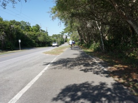
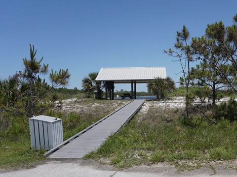
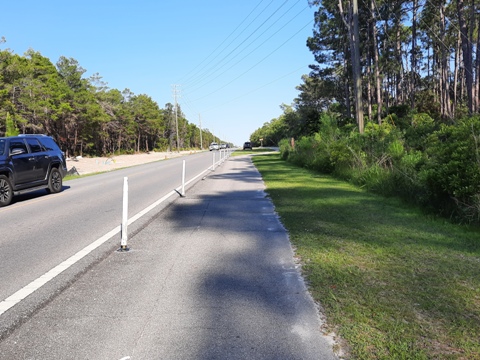
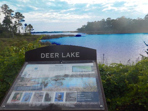
At about Mile Marker 13 East, the trail enters a natural wooded area through Deer Lake State Park - Deer Lake is seen just before the park entrance (parking, restrooms, picnicking, boardwalk, beach, nature trail). We rate this as less scenic than the section through Grayton Beach State Park due to the trail here being closer to the road, narrow in sections, with some portions on divided bike lanes along CR 30A. Leaving the park at about MM 14 East, the trail enters the community of Watersound (bike shop) and the surroundings again become more developed with business and residential areas. Approaching Seacrest Beach, the trail passes Camp Creek Lake - the Pirate's Cabin was built as a remembrance of past pirate presence in the area.
Seacrest Beach to US 98 (3.25 miles)
The trail at Seacrest Beach is mostly residential with two beach access points. Then Alys Beach, known for its Mediterranean-style white architecture and palm-lined trail is a scenic ride. Rosemary Beach comes next, with New Orleans-styled architecture and food. The trail ends past Inlet Beach at US 98.
More Information and Resources
Nearby Biking:
Gayle's Trails
Conservation Park
(eco)
Topsail
Hill Preserve State Park (eco)
FL Panhandle Region -
See more trails plus Regional Overview map
Nearby Paddling:
Grayton Beach State Park - Western Lake
Paddling in the Florida Panhandle at
www.PaddleFlorida.net
Related Resources:
Visit South Walton-Timpoochee Trail
- with a useful mile by mile description
Grayton Beach
State Park
Topsail Hill Preserve State Park
Deer Lake State Park
Find Trails by FL Region or Listed A - Z

100FloridaTrails.com... 100+ Florida Multi-use Bike Trails, Best for Safe, Fun Recreation and Fitness
Other Websites:
BikeOrlando.net
PaddleFlorida.net
BikeTripper.net
Copyright © 100FloridaTrails.com. All Rights Reserved.
