100 Florida Trails®
Top FL Multi-use Bike Trails
Map Links & Photos Galore
Coast-to-Coast Updates
You are here > Home >
Trails >
East Florida >
Ormond Scenic Loop
Latest update: April 2022
Ormond Scenic Loop and Trail... East Florida
A Florida Scenic Byway, Passing State Parks and Off-street Biking Options
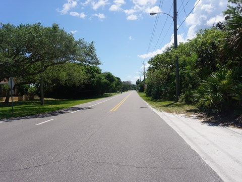
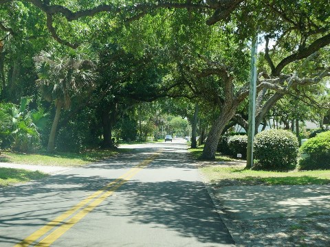
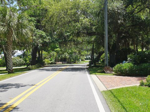
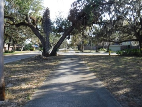
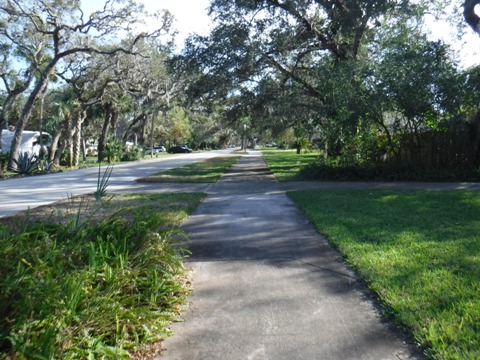
Although mostly on-road, we include the 30+ mile Ormond Scenic Loop and Trail - a designated Florida Scenic Highway - due to its proximity to several State, County and City parks, historic sites, scenery, beaches, and some off-street biking sections. This is actually a double loop that follows mostly lightly traveled roads, with varied scenery from ocean, to marsh, to oak canopy, along creeks and waterways - but also homes and businesses. Portions along A1A are part of the St. Johns River-to-Sea Loop and East Coast Greenway (Maine to Key West). (Map link and photos below.)
Location: Volusia County
Mileage: 32+ miles, can vary depending on route
Surface: Paved, on-road with portions off
Trailheads/Parking: No dedicated trailhead, there
are multiple parks along the route (some with fees) with parking and
other facilities (See map)
Nearby points of interest: Tomoka State Park,
Bulow Creek State Park, North Peninsula State Park, The Casements
Bike Shops/Rentals:
Trek Bicycle Ormond Beach
(sales, service)
The Bike Shop (Ormond Beach;
sales, service)
Support and Advocacy:
Ormond Scenic Loop
& Trail
Page Summary:
- Biking the Ormond Scenic Loop
- East Loop (between River and Ocean) (18.5 miles)
- A1A to SR 40, John Anderson Drive to SR 40 - West Leg (Mainland) (14 miles)
- A1A to Halifax River Bridge, Tomoka State Park to SR 40 - Nearby Places of Interest
- North Peninsula State Park, Tomoka State Park - More Information and Resources
Biking the Ormond Scenic Loop... Comments and Photos
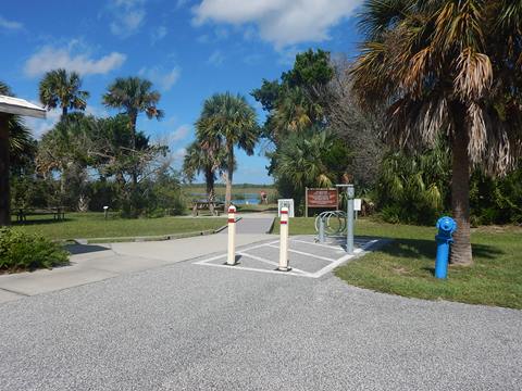
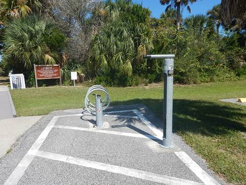
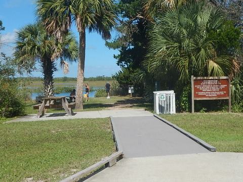
As noted this is a double loop, we describe three "legs." Below, we refer to the two legs to the east (between the Atlantic Ocean and Halifax River) as "East Loop," and the third leg on the mainland side as "West Leg." Starting from the Flagler/Volusia County Line, the northern starting point for all is along A1A at High Bridge Road: (1) south along A1A, (2) west to John Anderson Dr., or (3) continuing west to the mainland and Old Dixie Hwy. Smith Creek Landing at North Peninsula State Park, about 1/4 mile west along High Bridge Rd., is a good stopping point before starting the loop(s), with parking, restrooms, picnicking, and fix-it station (more below).
East Loop (between River and Ocean) (18.5 miles)
This section runs between the Halifax River and the Ocean. There are 2 north-south legs, one along A1A and one along John Anderson Dr. Ride these together for a shorter loop, or connect to the mainland side for a longer one.
A1A to SR 40
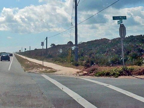
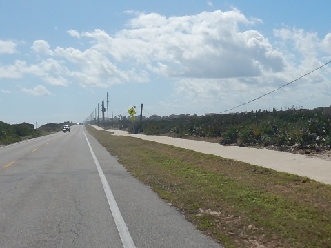
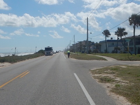
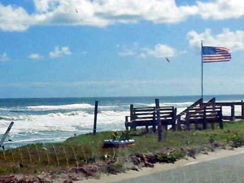
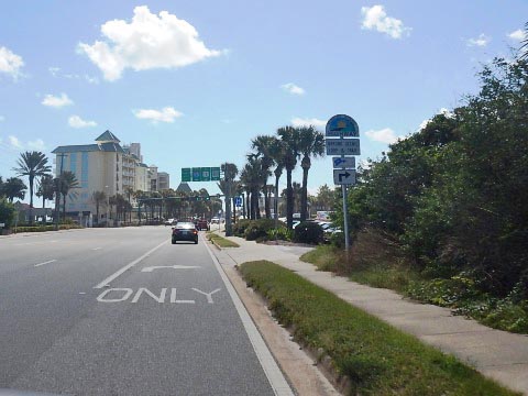
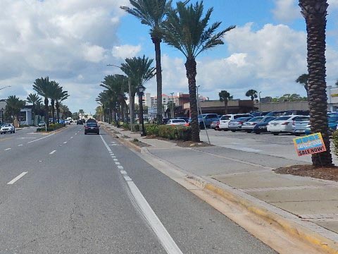
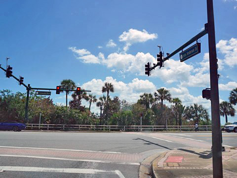
This leg runs about 9 miles. Leaving Flagler County and then crossing High Bridge Rd., the trail continues south along A1A (ocean side) to SR 40 (Granada Blvd.) as part of both the St. Johns River-to-Sea Loop and East Coast Greenway. The trail is not on the beach but rather across from the beach on a roadside path. At SR 40, directly to the east is Birthplace of Speed Park, with a restroom, picnicking, and access ramp onto Ormond Beach. To the west, proceed to John Anderson Rd. and turn north to complete the east loop, or continue west across the Halifax River to Beach and the west leg on the mainland side.
John Anderson Drive to SR 40
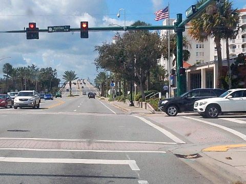
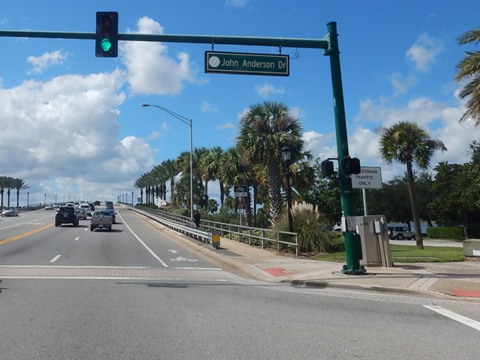
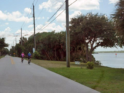
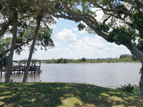
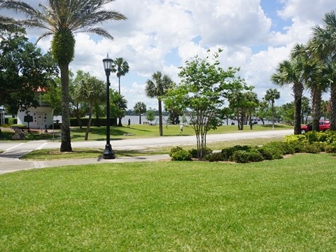
From A1A take High Bridge Rd. west to John Anderson Dr. (0.2 mile, just before the Smith Creek Landing entry), then follow John Anderson (river side) south to SR 40. This leg runs about 9 miles, it's on-road biking on a quiet street. The first 1.5 mile runs through a natural area that is part of North Peninsula State Park to Seabridge Riverfront Park (picnic table, river views, fishing). From here, the area becomes residential. Approaching SR 40 is Fortunato Park (parking, restrooms, picnic area, playground, fishing pier, historic Ormond Hotel cupola). At SR 40 go east back to A1A to complete the east loop on the ocean side, or proceed west across the Halifax River to Beach St. for the mainland leg.
West Leg (Mainland) (14 miles)
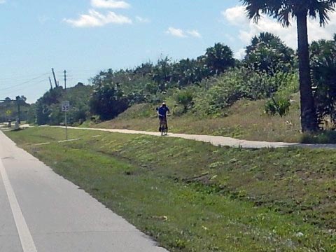
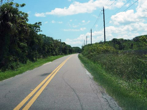
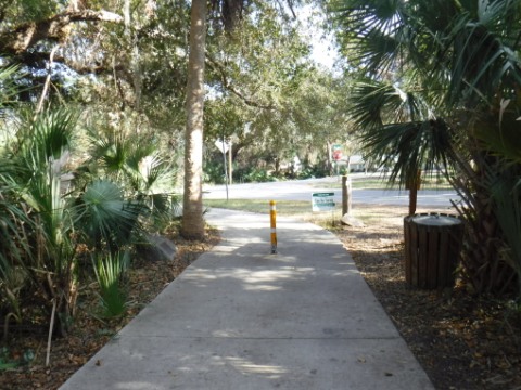
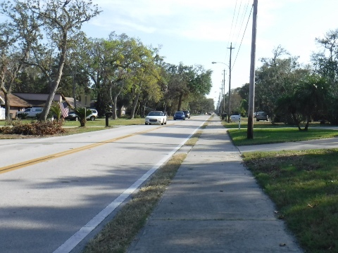
This leg of the loop is mostly on-road biking, with a short paved trail near Tomoka State Park, then sidewalks for the last three miles along Beach Rd. approaching SR 40. Starting from A1A, go west along High Bridge Rd., past Smith Creek Landing, and over the drawbridge at the Halifax River (about 0.5 mile). High Bridge Rd. follows Bulow Creek and ends at Walter Boardman Lane. Go west and across the bridge over Bulow Creek, here the road enters Bulow Creek State Park. Continue west to Old Dixie Hwy. then south. This is a very scenic section, bordering Bulow Creek SP and past other historical sites. After crossing the Tomoka River, Old Dixie Hwy. ends and N. Beach St. starts. Tomoka State Park is located here (more below). Continue south to SR 40.
Tomoka State Park to SR 40
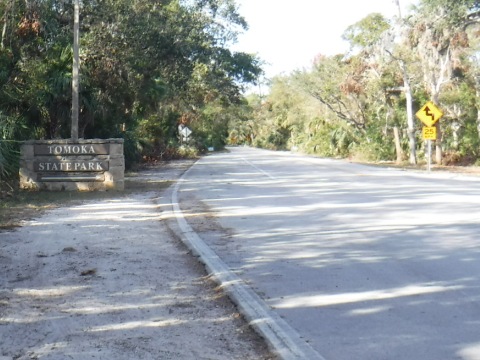
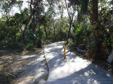
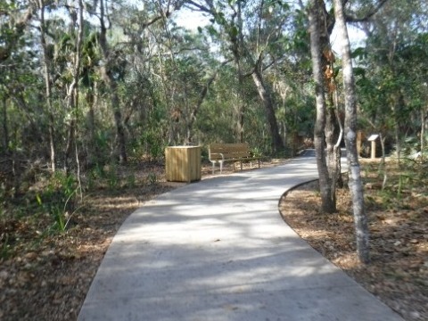
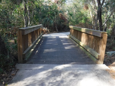
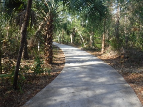
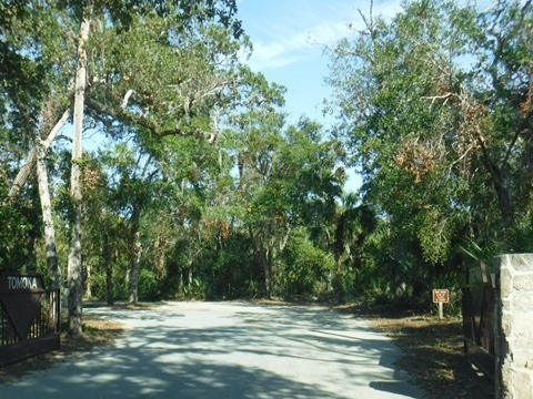
Tomoka State Park includes a section of paved off-road trail about one mile long called the Woodham Woods Trail. The trail starts across from the park main entrance along N. Beach St., then runs south through coastal hammock, a scenic ride. Named for Benny Woodham, a long-time Tomoka State Park manager, the trail ends at Inglesa Ave. The Scenic Loop continues along N. Beach Street to SR 40.
At SR 40, go east over the Halifax River bridge to complete the Ormond Scenic Loop via either John Anderson Rd. or A1A. Another option is to go south along S. Beach Street along the Halifax River Trail (link below) to Daytona Beach as part of the St. Johns River-to-Sea Loop and East Coast Greenway.
Nearby Places of Interest
North Peninsula State Park
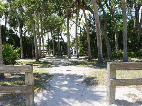
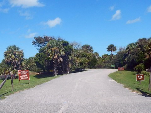
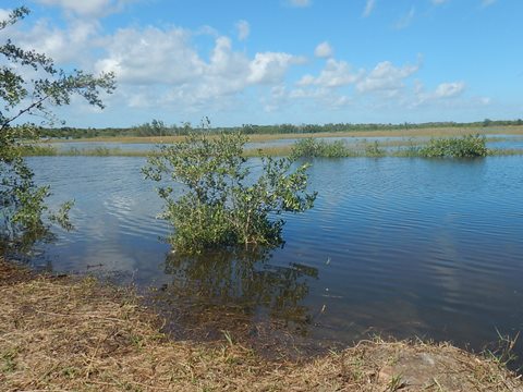
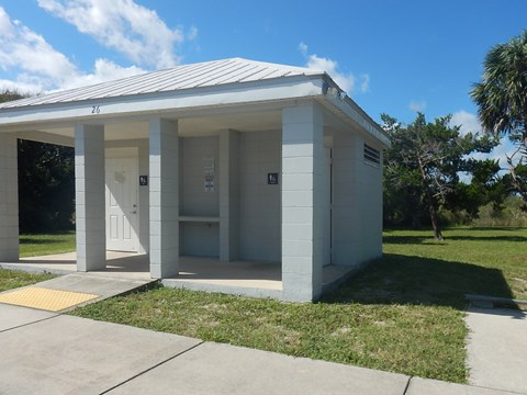
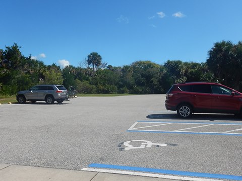
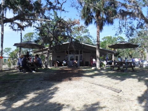
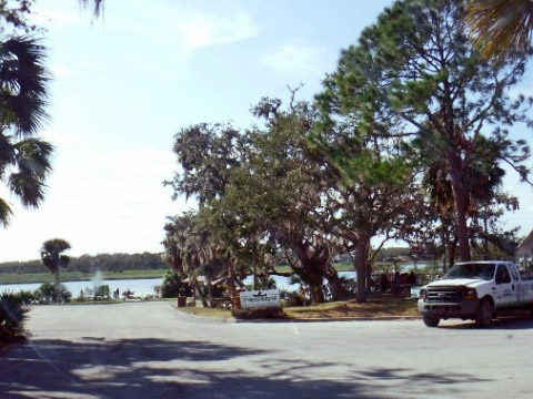
North Peninsula State Park lies between the Atlantic Ocean and Halifax River (Intracoastal Waterway). We visited the river side at Smith Creek Landing to view biker facilities - parking, restrooms, picnicking and a bike fix-it station. Access the river by launching onto Smith Creek, or hike the 2.5-mile Coastal Strand Trail. On the ocean side (across A1A) the park features over 2 miles of unspoiled beach, accessed over boardwalks. Admission is free. Habitats include beach dunes, coastal scrub, maritime hammock, and salt marsh. Wildlife include marine turtles, gopher tortoises, snakes, deer, bobcat, and a wide variety of birds. The park also protects the endangered Florida scrub jay.
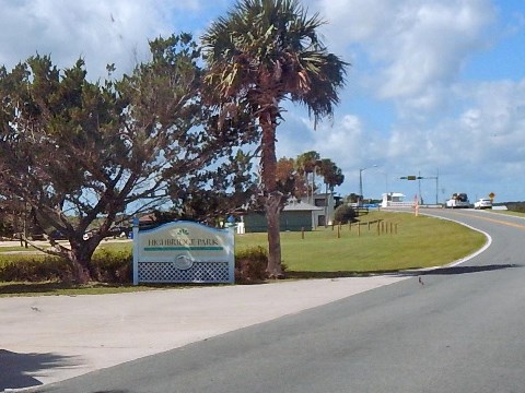
Note: Across High Bridge Road next to the Highbridge Drawbridge is Highbridge Park and Boat Ramp.
Tomoka State Park
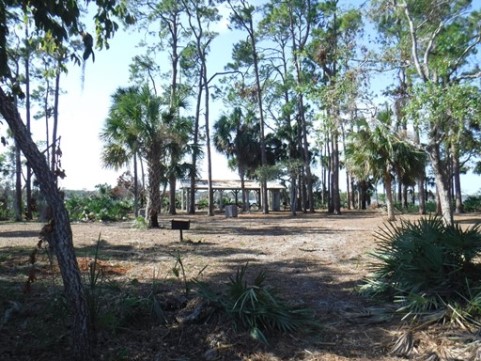
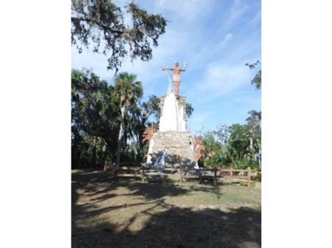
Located on a peninsula at the juncture of the Tomoka and Halifax Rivers, Tomoka State Park covers 2,000 acres with 12 miles of waterfront. The park provides visitors with parking, restrooms, picnic facilities, hiking/biking trail, nature trail, fishing, camping, playground, boat ramp, kayak/canoe launch. The park store has supplies and rentals. Wildlife include over 160 species of birds, deer, bobcat, manatee, and alligators. Habitat includes maritime hammock and salt marsh. The area was once home to Native American Timacua in the village of Nocoroco. Nothing remains of the village other than some shell mounds; a statue honoring Chief Tomokie was erected in 1955. State park fee applies.
More Information and Resources
Nearby Biking:
Flagler County Trail
Halifax River Trail
Lehigh Greenway Rail Trail
East FL Region - More trails
plus Regional Overview map
Nearby Paddling:
Related Resources:
Ormond
Scenic Loop and Trail
FDOT: Ormond Scenic Loop and Trail
Find Trails by FL Region or Listed A - Z

100FloridaTrails.com... 100+ Florida Multi-use Bike Trails, Best for Safe, Fun Recreation and Fitness
Other Websites:
BikeOrlando.net
PaddleFlorida.net
BikeTripper.net
Copyright © 100FloridaTrails.com. All Rights Reserved.
