100 Florida Trails®
Top FL Multi-use Bike Trails
Map Links & Photos Galore
Coast-to-Coast Updates
You are here > Home >
Trails >
East Florida >
Lehigh Greenway Rail Trail
Reported: April 2022
Lehigh Greenway Rail Trail... East Florida Biking
Pleasant Canal-side Bike Trail... Palm Coast to Bunnell
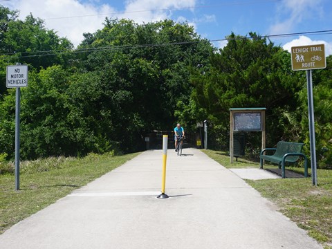
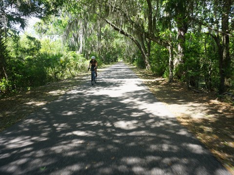
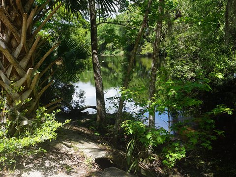
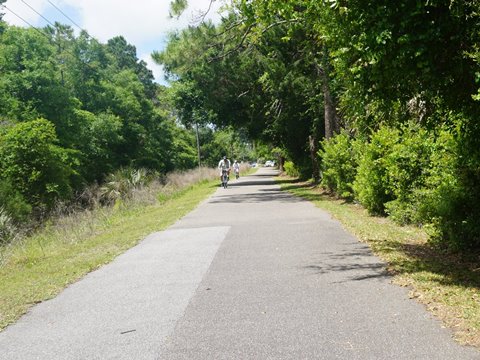
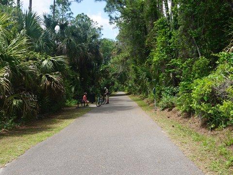
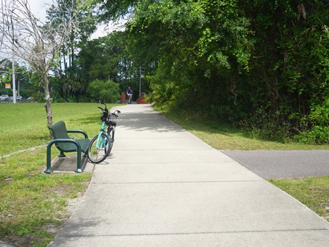
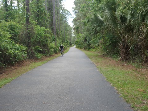
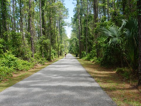
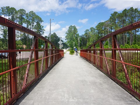
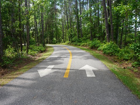
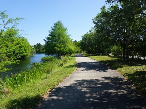
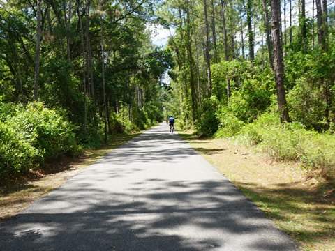
The Lehigh Greenway Rail Trail (aka "Lehigh Trail") runs 6.7 miles east-west from Colbert Road in Palm Coast to US 1 north of Bunnell, on the bed of an old railroad spur that connected the Lehigh Portland Cement Company to the Florida East Coast Railroad. The trail exceeded our expectations! Running parallel to the Lehigh Canal, it's an easy ride with just three road crossings. Much shade and the surroundings are masked by vegetation, making for a mostly remote feel. Riders will especially enjoy the tree canopy through the Graham Swamp Conservation Area (3,084 acres). Trail connectors lead to residential areas, schools, and business, including a 1.7 mile spur to (the emerging) Palm Coast Town Center. Used by bikers, hikers, and skaters, benches are located regularly along the way. Wildlife include birds, alligators, tortoises, otter, and deer - we saw lots of squirrels. (Map link and photos below.)
Location: Flagler County
Mileage: 6.7 miles (plus connectors)
Surface: Paved, 8' - 12'
Nearby points of interest: Flagler Beach,
Washington Oaks Gardens State Park, Gamble Rogers Memorial State
Recreation Area
Bike Shops/Rentals:
Flagler Bike Shop
(Palm Coast; rentals, sales, service)
Palm Coast
Bicycle Trail Shop (Trek Bikes) (Palm Coast; sales, rentals)
Bicycle Doctor
(Bunnell; sales, service)
Page Summary:
- Biking the Lehigh Greenway Rail Trail
- Lehigh Trail (east to west)
- Colbert Rd. Trailhead to Town Center Blvd. (2.5 miles)
- Town Center Blvd. to Belle Terre Rd. (1.5 mile)
- Belle Terre Rd. to US 1 (2.7 miles) - Palm Coast Town Center
- Central Park to Lehigh Trail
- More Information and Resources
Biking the Lehigh Greenway Rail Trail... Comments and Photos
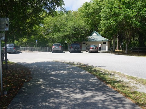
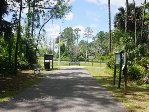
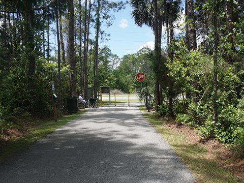
The only restroom along the Trail is at the Colbert Trailhead (paved parking). Unpaved parking areas as located at Belle Terre Rd., and Royal Palms Blvd. at Rymfire Drive. The mile markers can be confusing (but likely to change in the future). Starting at Colbert Road, you count down from 4 miles to 0 at Belle Terre Rd. Then, continuing to US 1, the markers restart, counting up from 4 to 6.7. Located nearby is "The Swamp" mountain bike trail.
The photos here show the Lehigh Trail from east to west, starting from the Colbert Road Trailhead. We also show the 1.7 mile connector from Palm Coast Town Center to the Lehigh Trail.
Lehigh Trail (east to west)
Colbert Rd. Trailhead to Town Center Blvd. (2.5 miles)
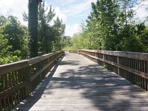
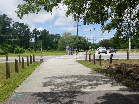
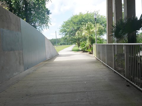
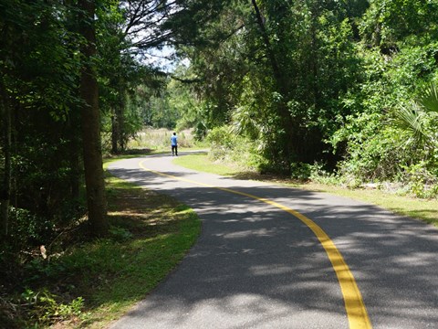
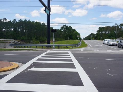
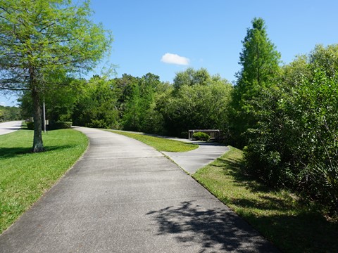
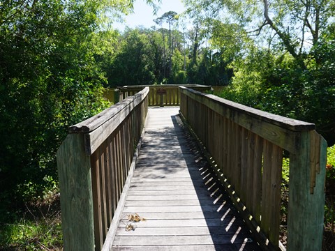
From the Colbert Rd. Trailhead (parking, restrooms, fix-it station), a connector runs next to Colbert Rd. for about 0.2 mile, where the Trail begins to the right with some welcoming shade. Almost immediately, the trail becomes boardwalk leading a short distance through Graham Swamp to the old railbed. The next 1.5 miles is the most scenic and remote section of the trail, a beautiful and peaceful ride. Leaving the swamp is a subdivision, masked by the vegetation. The trail comes to Old Kings Rd. This is a 3-way intersection, cross carefully using the crossing signal and continue straight onto Town Center Blvd.
Town Center Blvd. to Belle Terre Rd. (1.5 mile)
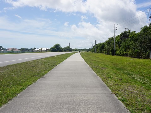
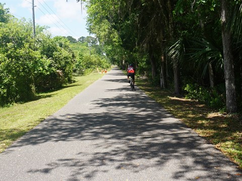
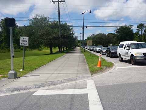
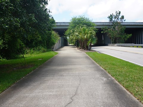
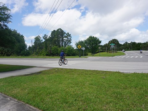
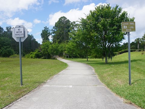
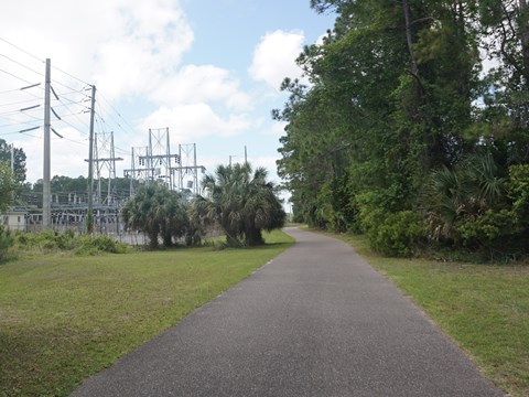
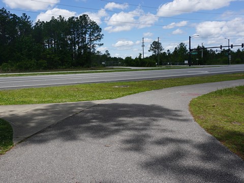
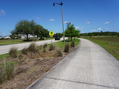
Along Town Center Blvd., the trail runs roadside for 0.3 mile, passing under I-95 to the intersection with Royal Palms Pkwy. Here, Town Center Pkwy. turns south towards SR 100 and Palm Coast Town Center (more below). Cross to Royal Palms Pkwy. (another busy intersection, take care when crossing), then watch for the trail signs. The trail continues 1.5 mile to Belle Terre Rd. Running between the canal and a powerline, another pleasant section with vegetation mostly masking the surroundings. The trail comes to a "T" at Belle Terre Rd., an unpaved lot with fix-it station is to the left (south). The trail continues across Belle Terre Rd. (More signage would be helpful.)
Belle Terre Rd. to US 1 (2.7 miles)
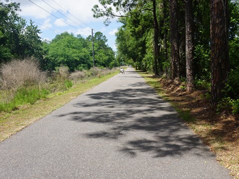
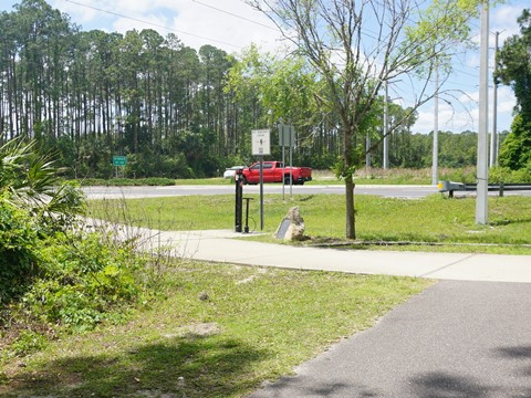
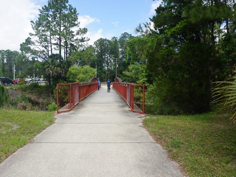
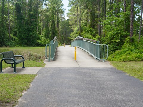
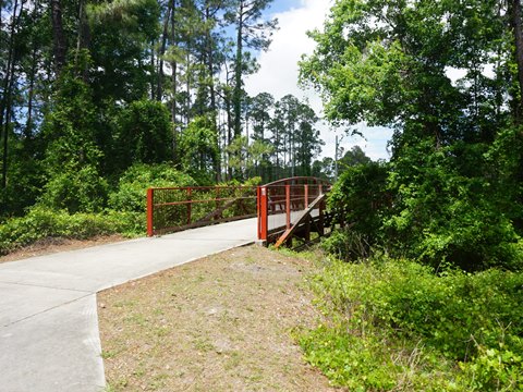
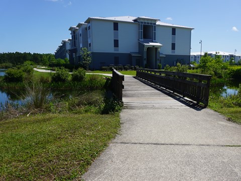
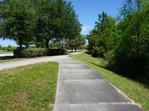
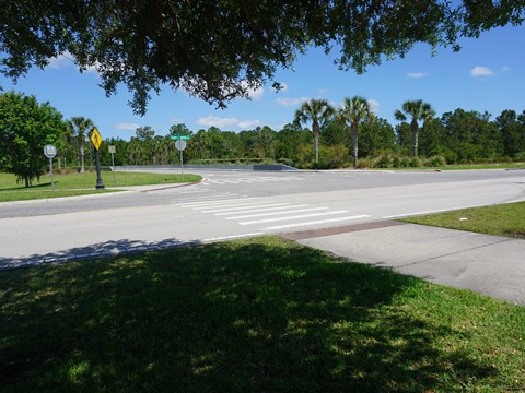
To cross Belle Terre Rd., first go north and over the canal to the crosswalk at Belle Terre Rd. and Royal Palms Pkwy. Cross here (it's a busy intersection, use the crossing signals), then return along Belle Terre Rd., back over the canal to the trail. Note: Another unpaved lot is just past the trail entrance at the powerline. Here's where the mile markers change direction, re-starting at mile 4 and going up. The trail continues between the canal and powerline, shielded from the surroundings. A couple of bridges cross side-canals. After about 2 miles, a bridge crosses the canal to the north. This goes out to Royal Palms Pkwy. at Rymfire Drive, and an unpaved parking area. The trail ends at US 1, another 0.7 mile. Here are a bench and tire air pump, no other amenities.
Palm Coast Town Center
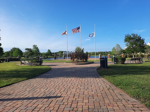
Palm Coast's Town Center (its designated "downtown") is a work in progress. Centered at scenic Central Park (a popular event venue; parking, restrooms), bike paths and trails circle and crisscross the entire area, and a wide path connects Central Park to the Lehigh Trail - about 1.7 miles. At this time, the Town Center is mostly apartments, condos, homes, some schools, offices and commercial properties. Restaurants, stores, hotel, gas and other amenities are located along a one mile stretch of SR 100 (Moody Blvd.) at the south boundary of the Town Center. This makes the Town Center Blvd. spur to the Lehigh Trail more popular for locals going to the trail than for trail riders seeking amenities. (Of course, it's certainly possible to bike to SR 100 restaurants, etc. if needed.)
Central Park to Lehigh Trail (1.7 mile)
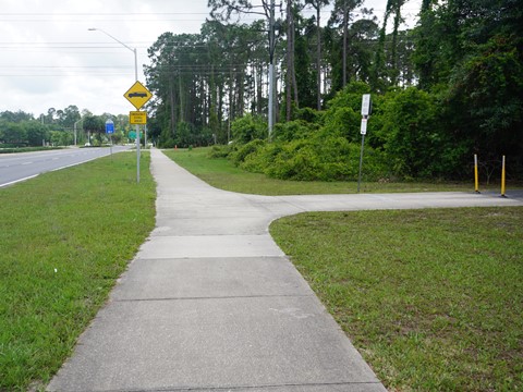
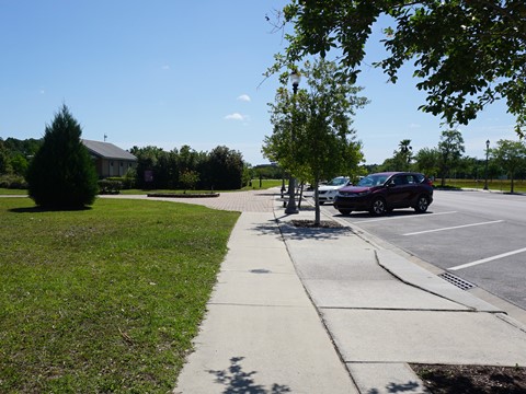
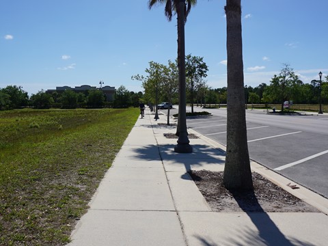
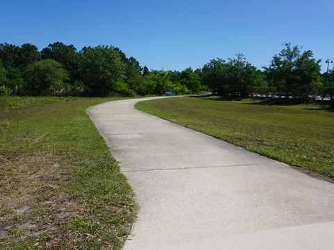
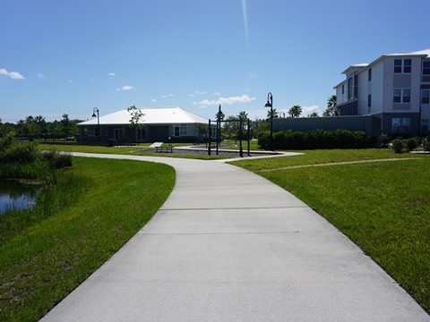
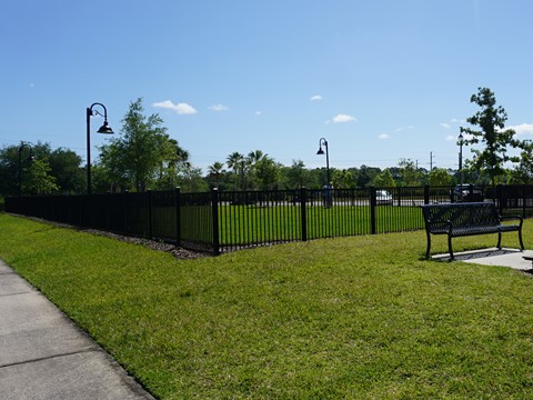
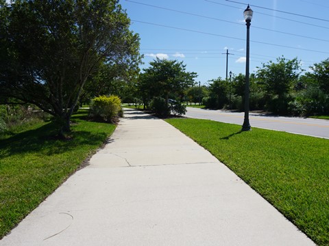
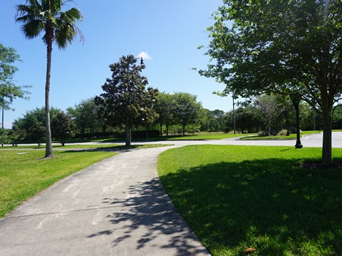
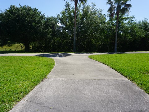
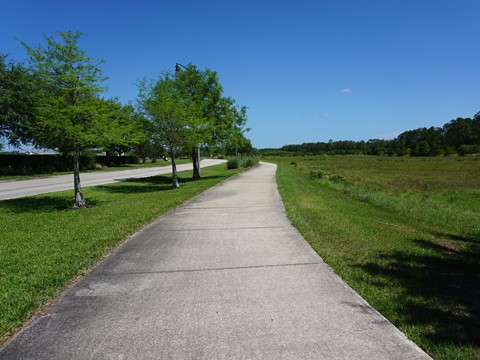
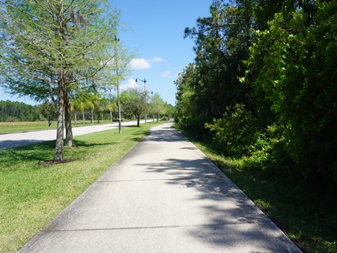
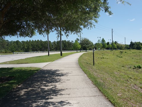
Most of the paths through the Town Center area run roadside. A portion of the 1.7 mile link to the Lehigh Trail is a pleasant ride away from the road. Starting from Central Park and going eastward, it runs a short distance along Central Ave. then turns off. From here, it runs along a canal behind a parking lot (hidden from view by vegetation) and apartments (wide median). Past the apartments and a dog park, the trail re-emerges along Central Ave. Cross Town Center Blvd. and go left (north). The spur then runs roadside to the juncture with the Lehigh Trail at Royal Palms Pkwy. Little to no shade in this section.
Central Park to Town Center Blvd.
Town Center Blvd. to Lehigh Trail
More Information and Resources
Nearby Biking:
Flagler County Trail
Ormond Scenic Loop
St. Johns-River-to-Sea Loop - an evolving FL Trail Network
East FL Region - More trails
plus Regional Overview map
Related Resources:
City of Palm Coast Parks & Recreation - Trails
Flagler County - Lehigh Trail
Find Trails by FL Region or Listed A - Z

100FloridaTrails.com... 100+ Florida Multi-use Bike Trails, Best for Safe, Fun Recreation and Fitness
Other Websites:
BikeOrlando.net
PaddleFlorida.net
BikeTripper.net
Copyright © 100FloridaTrails.com. All Rights Reserved.
