100 Florida Trails®
Top FL Multi-use Bike Trails
Map Links & Photos Galore
Coast-to-Coast Updates
You are here > Home >
Trails >
St. Johns River-to-Sea Loop
Latest update: March 2023
St. Johns River-to-Sea Loop
5 Counties, 260 Miles
Here we track progress on the St. Johns River-to-Sea Loop (SJR2C), which will run about 260 miles in northeast-central Florida through St. Johns, Flagler, Volusia, Brevard, and Putnam Counties. A project in the state's Shared Use Non- motorized (SUN) Trail Program, the loop consists of existing trails and gaps to be filled - about 50% is completed as of mid-2022. See map.
Much of the trail is in rural areas, and is envisioned as a key Agritourism and Ecotourism destination. It encompasses portions of the East Coast Greenway (Maine to Key West), and the Florida Coast-to-Coast Trail (Canaveral National Seashore to St. Petersburg). Below we list St. Johns River-to-Sea Loop trails and gaps, in four sections starting from St. Augustine and circling clockwise. Our observations: Some existing trail sections are more wide sidewalks (side paths) than true "trails" while other sections are bike lanes or sharrows. Gaps remain, though in some areas not labeled completed it's possible to ride on the roadway, or sidewalk.
Section 1 - East Coast Greenway
The trail from St. Augustine south to New Smyrna Beach is part of both the St. Johns River-to-Sea Loop and the East Coast Greenway, following route A1A along the Atlantic Ocean.
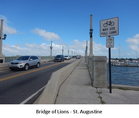
St. Augustine - St. Johns County - While bicycling in St. Augustine is possible, gaps remain along the SJR2C.
St. Augustine Gap - St. Johns County - From St. Augustine to St. Augustine Beach.
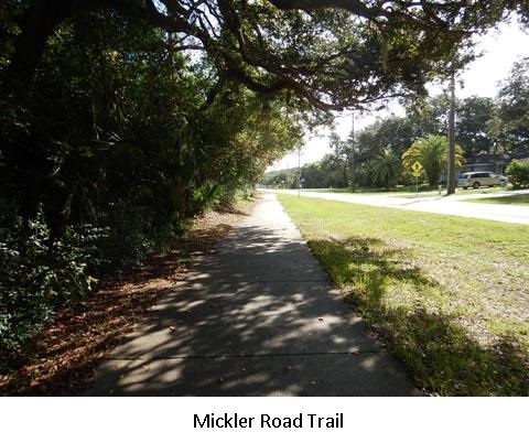
Mickler Road Path - St. Johns County - 1.5 mile trail at St. Augustine Beach.
A1A Gap - St. Johns County - St. Augustine Beach to Marineland.
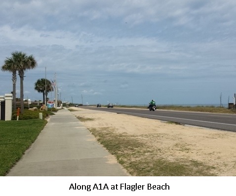
Flagler County Trail - Flagler County - Here an existing trail runs 19 miles alongside A1A from Marineland to Flagler Beach.
Ocean Shore Blvd/A1A Gap - Volusia County - Gap from the Flagler County line through Ormond Beach.
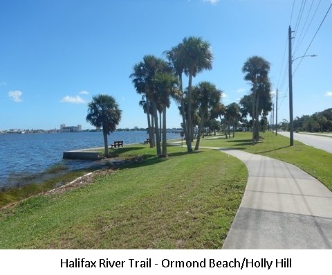
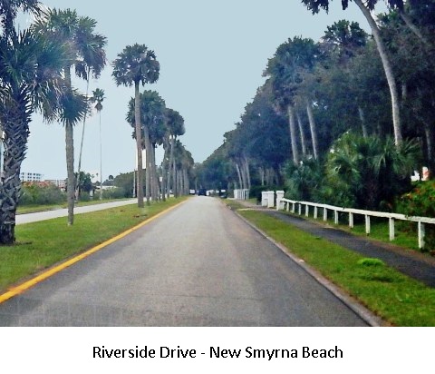
Halifax River Trail - Volusia County - Existing path follows Beach Street and Riverside Drive along the Halifax River from Ormond Beach, through Holly Hill, to Daytona Beach.
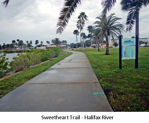
Sweetheart Trail - Volusia County - Existing path along the Halifax River in Daytona Beach.
Port Orange - New Smyrna Gap - Volusia County - From Daytona Beach, through Port Orange to New Smyrna Beach.
Section 2 - Space Coast, East Central Regional Rail Trail and Spring to Spring Trail
This section runs east to west from the Atlantic Ocean to the St. Johns River, encompassing portions of the Florida Coast-to-Coast Trail. At Edgewater, there are two options: (1) the straight route - continue west on the East Central Regional Rail Trail, or (2) a second loop - continue south on the Space Coast Gap to Titusville, where you join the East Central Regional Rail Trail and loop back around to meet the trail coming from Edgewater.
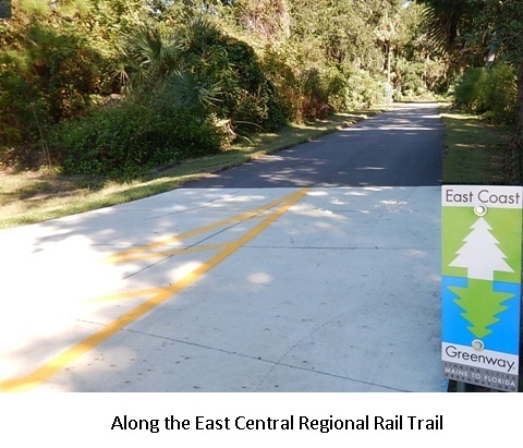
Space Coast Gap - Volusia County - This runs south of New Smyrna Beach, from Edgewater through the Merritt Island National Wildlife Refuge to the Max Brewer Bridge at Titusville.
East Central Regional Rail Trail - Volusia and Brevard Counties - Branches from Edgewater and Titusville converge and continue to Green Springs Park in Enterprise (where it meets the Spring-to-Spring Trail). The Titusville to Enterprise section also is part of the Florida Coast-to-Coast Trail.
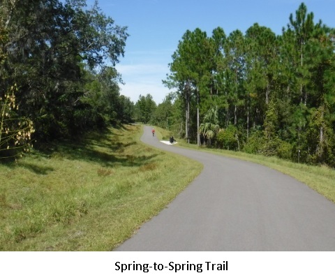 Spring
to Spring Trail
- Volusia County - Connects to the East Central Regional Rail Trail at Green Springs
Park (Enterprise) and proceeds west to DeBary. At DeBary, it turns north with
one remaining gap.
Section 3 - US 17 Corridor
This section runs south to north, paralleling the St. John's River from DeLeon Springs to Palatka. Some short sections of trail are completed, but this is mostly future development.
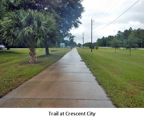
US 17 Corridor Gap - Volusia and Putnam Counties - From DeLeon Springs to Crescent City.
Crescent City Trail - Putnam County - 1.5 miles complete at Crescent City.
US 17 Corridor Gap - Putnam County - From Crescent City to San Mateo.
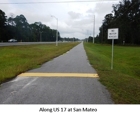
San Mateo Trail - Putnam County - 3 miles completed at San Mateo to Palatka
US 17 Corridor Gap - Putnam County - From San Mateo to Palatka
Section 4 - Palatka to St. Augustine State Trail
This section runs west to east, from Palatka to St. Augustine, with one gap. Part of the Agritourism Corridor.
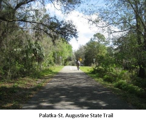
Palatka to St. Augustine State Trail - Putnam County - From Palatka to Keystone Heights.
SR 207 Gap - Putnam and St. Johns Counties - Eastern end of Palatka to St. Augustine State Trail to St. Augustine.
More Information and Resources
Find Trails by FL Region or Listed A - Z

100FloridaTrails.com... 100+ Florida Multi-use Bike Trails, Best for Safe, Fun Recreation and Fitness
Other Websites:
BikeOrlando.net
PaddleFlorida.net
BikeTripper.net
Copyright © 100FloridaTrails.com. All Rights Reserved.
