100 Florida Trails®
Top FL Multi-use Bike Trails
Map Links & Photos Galore
Coast-to-Coast Updates
You are here > Home >
Trails >
North Florida >
Palatka to St. Augustine State Trail
Latest update: March 2025
Palatka to St. Augustine State Trail...
Connecting Two Historic Florida Cities
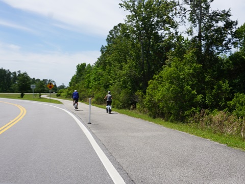
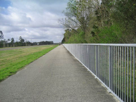
The Palatka to St. Augustine State Trail currently runs 19 miles between Palatka and Vermont Heights along the route of Henry Flagler's East Coast Railway. The trail largely follows SR 207, along the roadside in part but with a wide buffer. Other sections are away from the road, shady and scenic. The ride includes small towns, woodland and farmland. To the east, an extension from Vermont Heights to St. Augustine is planned. To the west, a connector route winds through East Palatka to US 17 and continues west over Memorial Bridge to the Palatka Urban Trail which in turn serves as a connector to the Palatka to Lake Butler State Trail. Palatka to St. Augustine State Trail is part of the 260-mile St. Johns River-to-Sea Loop. (Map link and photos below.)
Location: Putnam and St. Johns Counties
End Points: Palatka to Vermont Heights (eventually,
to St. Augustine)
Parking/Trailheads: Vermont Heights, Armstrong,
Hastings, East Palatka (see map)
Mileage: 19 miles; 2 mile connector to Palatka
Urban Trail
Surface: Asphalt, 12 feet
Nearby points of interest: St. Augustine, Fort Matanzas
Bike Shops/Rentals:
Putnam
Bicycles (Palatka)
Support and Advocacy:
Putnam
Blueways and Trails CSO
Florida State Parks Foundation
Page Summary:
- Biking the Palatka to St. Augustine State Trail
- Vermont Heights to Armstrong
- Vermont Heights Trailhead to East Terminus
- Vermont Heights Trailhead to Armstrong - Armstrong to Hastings
- Spuds, Deep Creek, Cora Harrison Preserve Trailhead - Hastings to McCormick Rd. Terminus
- East River Road Trailhead - Connector to Palatka Urban Trail
- Memorial Bridge - More Information and Resources
Biking the Palatka to St. Augustine State Trail... Comments and Photos
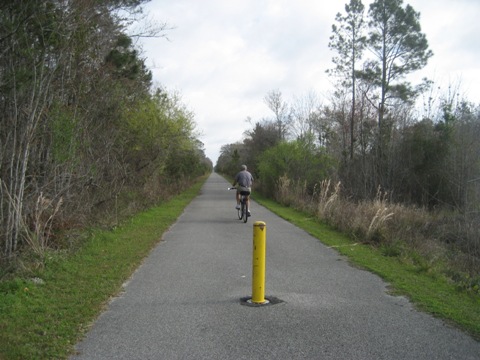
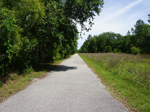
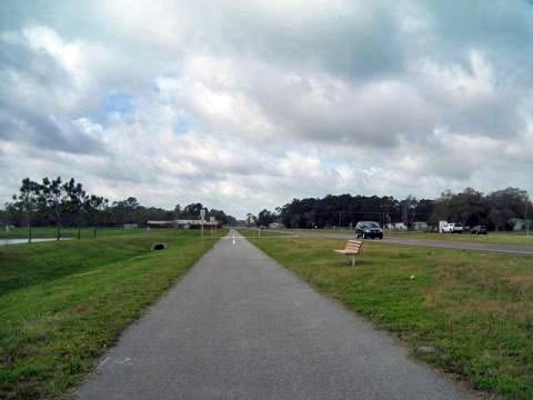
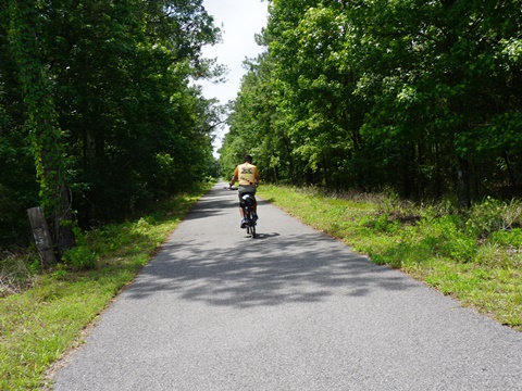
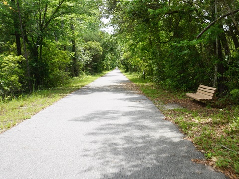
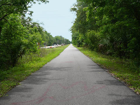
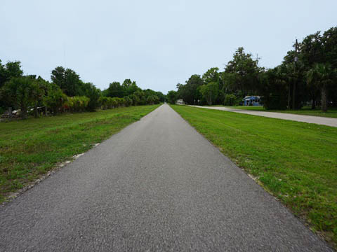
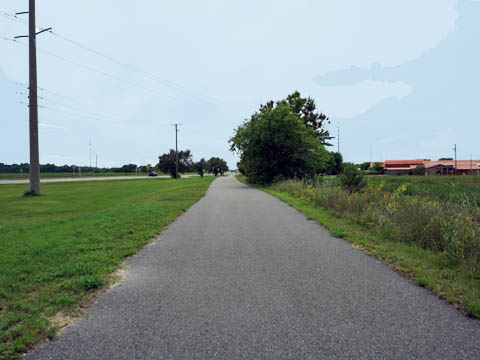
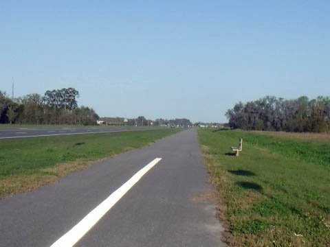
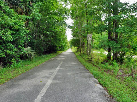
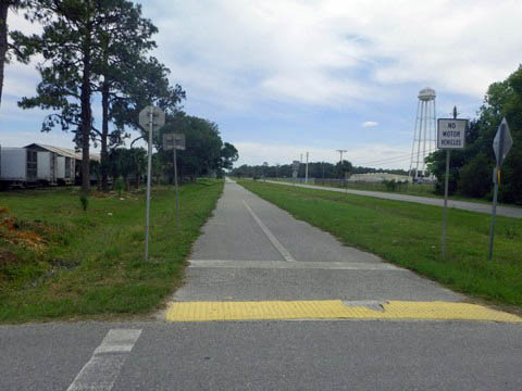
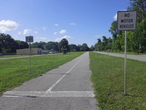
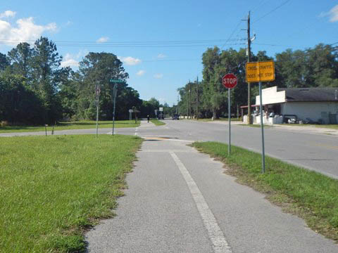
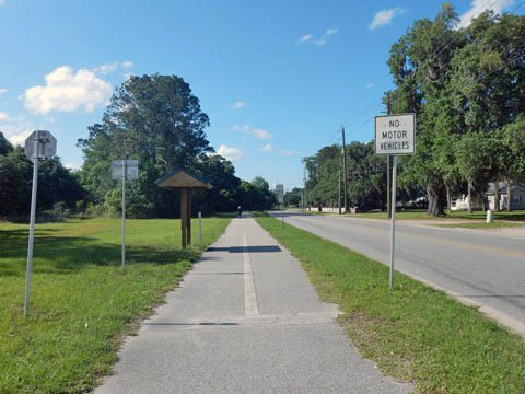
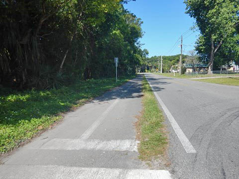
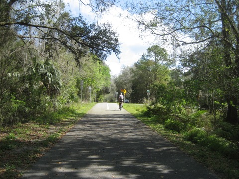
The trail is easy to ride, wide and straight through forest land and past farms. Parking is available at Vermont Blvd., Vermont Heights, Armstrong Park, Cora Harrison Preserve (Hastings), and East Palatka (see map). From the Vermont Heights Trailhead we visited the trail east to its temporary end, and then west to Palatka. We found the most pleasant section to be the 3.5 miles through Armstrong, off the road between Elkton and Spuds.
Vermont Heights to Armstrong - 6.1 miles
Vermont Heights Trailhead to Northern Terminus - 2.5 miles
Vermont Heights Trailhead
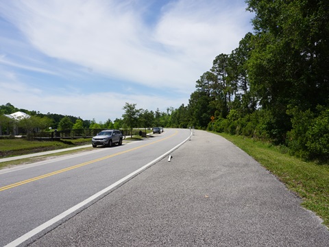
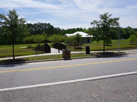
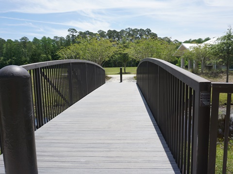
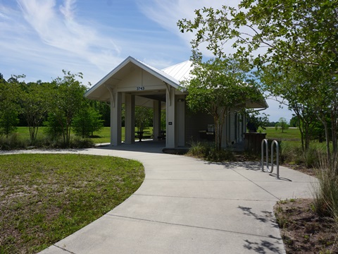
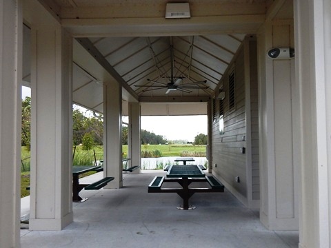
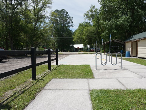
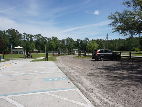
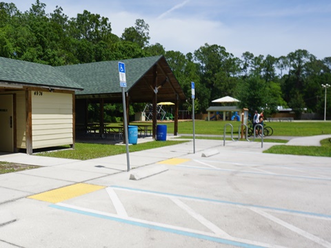
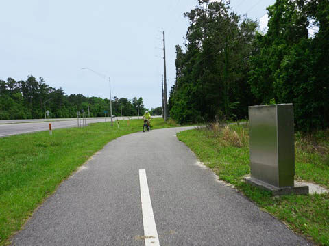
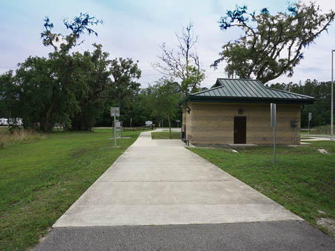
The Vermont Heights Trailhead is located along SR 207 about 2.5 miles west of I-95. The trail runs along the shoulder of the access road to the parking area; the restrooms and picnic area are located across a short bridge over a canal. From the trailhead, the trail continues along SR 207.
Trailhead to Northern Terminus
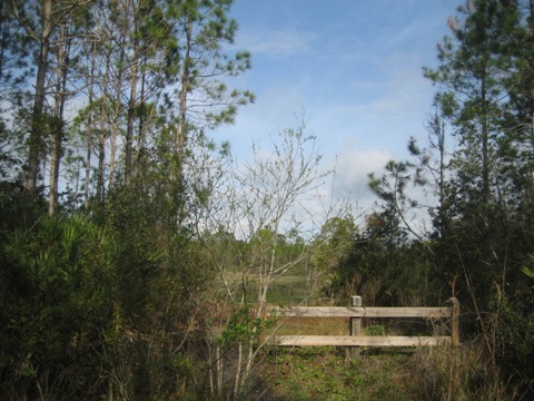
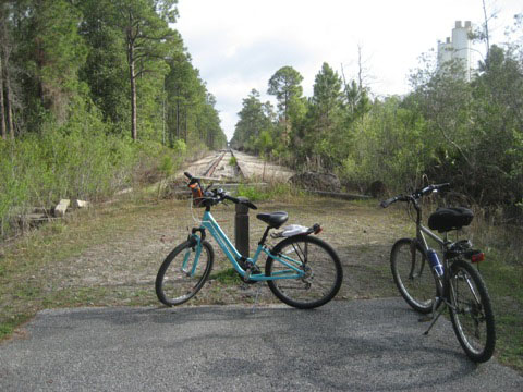
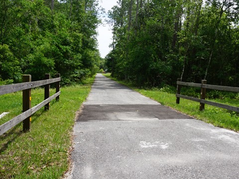
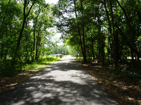
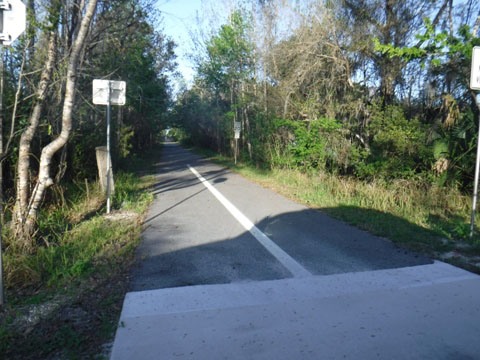
From the trailhead and heading east, the trail runs through a quiet wooded area and at one mile crosses Vermont Blvd. where a small parking area is roadside. In another 1.5 miles, the trail dead-ends at some old railroad track - future extension to St. Augustine.
Vermont Heights Trailhead to Armstrong Trailhead - 3.6 miles
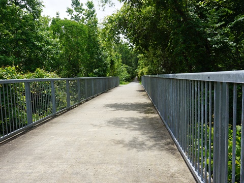
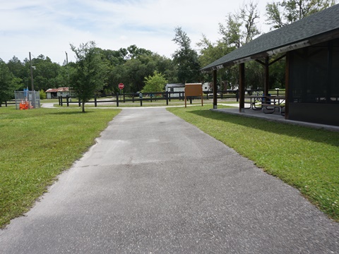
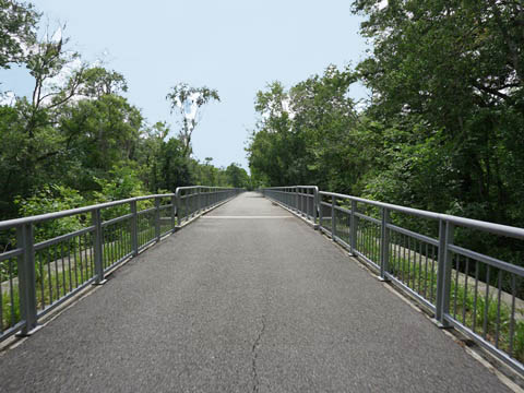
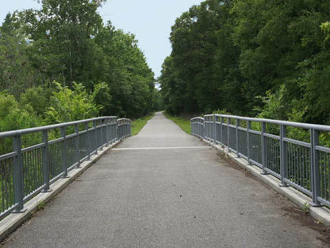
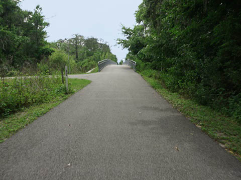
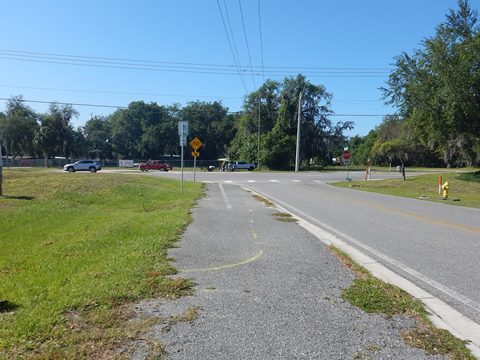
From the trailhead west along SR 207, the trail crosses the road at Elkton and runs along the south side of SR 207 until turning off through a scenic section and crossing the Moccasin Branch Bridge. Past here, a short spur runs to the Armstrong Park Trailhead (parking, restrooms, picnic, playground).
Vermont Heights to Armstrong
Armstrong Park Trailhead
Armstrong Trailhead to Hastings Trailhead - 5.25 miles
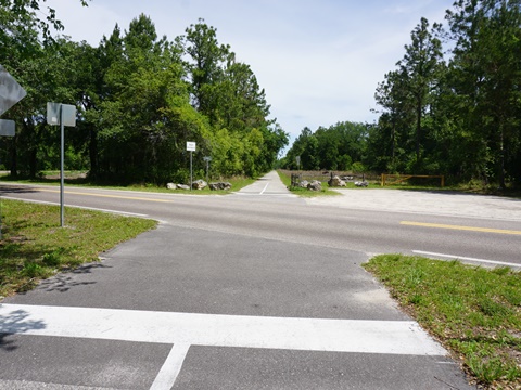
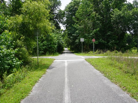
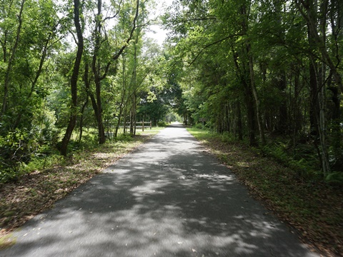
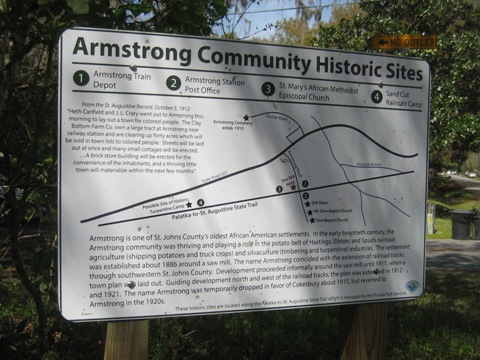
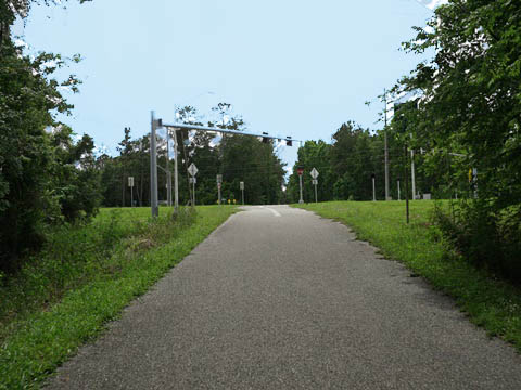
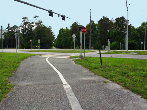
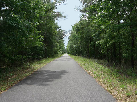
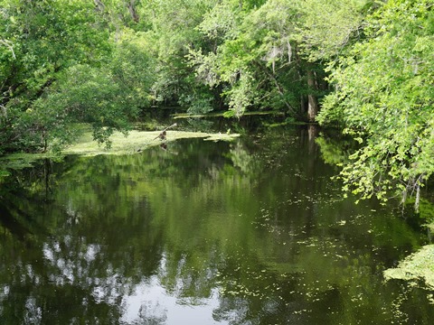
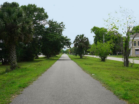
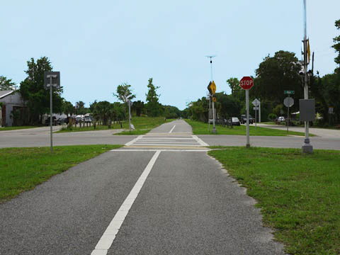
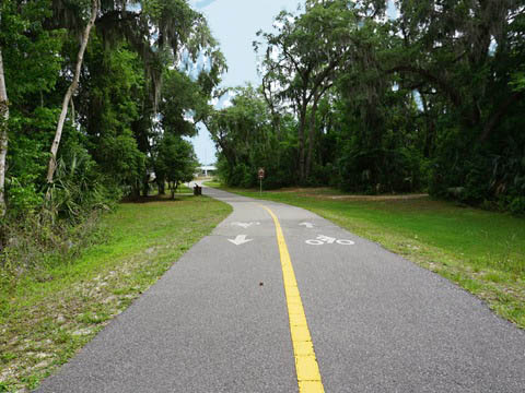
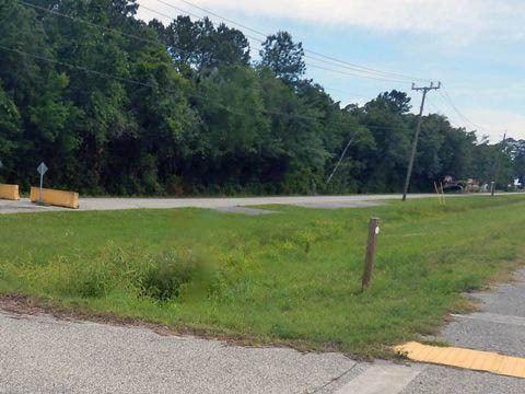
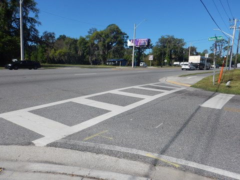
From the Armstrong Park Trailhead, the trail crosses Armstrong Rd. and continues through the woodlands. Markers along the trail tell of the historic Armstrong Community. This was one of St. Johns County's earliest African-American settlements, originally established in 1896. The trail re-emerges to SR 207 at Spuds (founded as a potato farming community, as you may have guessed), crossing SR 207 - this is a 4-lane divided highway, use the crossing signals and be careful. West of Spuds, the trail runs through the scenic Deep Creek Conservation Area, crossing Deep Creek and continuing through woodland until emerging in Hastings at Morrison Rd.
Armstrong to Spuds
Spuds to Hastings
Trail at Hastings
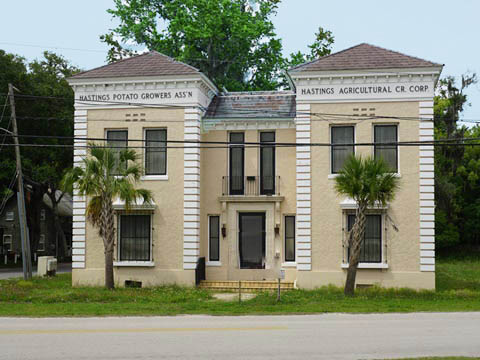
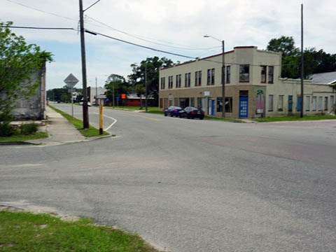
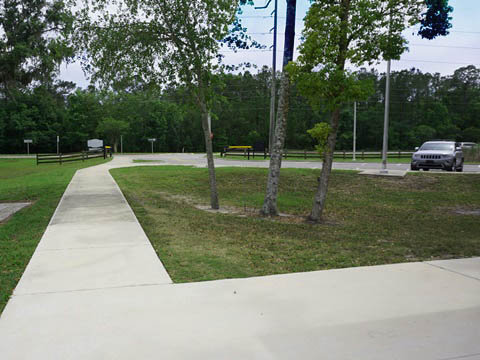
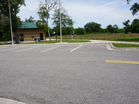
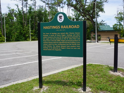
The trail then runs through Hastings along Ashland Ave. to the Cora Harrison Preserve Trailhead (parking, restrooms, picnic). Hastings, "The Potato Capital of Florida," grew in the 1890's as an agricultural and rail center providing produce to Henry Flagler's enterprises. Historic markers and buildings tell the history.
Through Hastings
Cora Harrison Preserve Trailhead
Hastings to McCormick Rd. Terminus - 7.5 miles
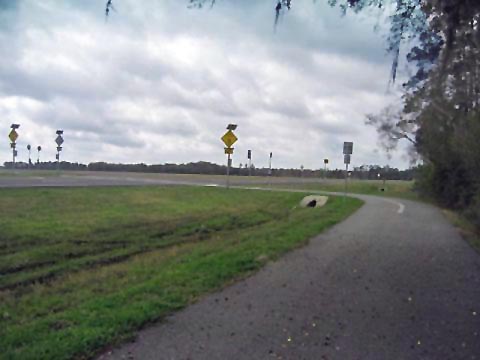
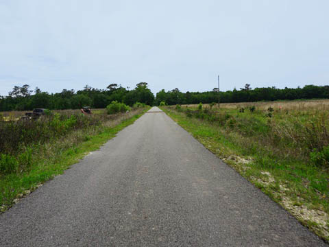
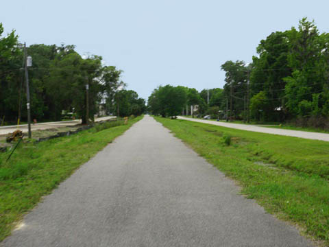
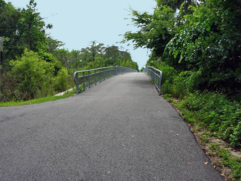
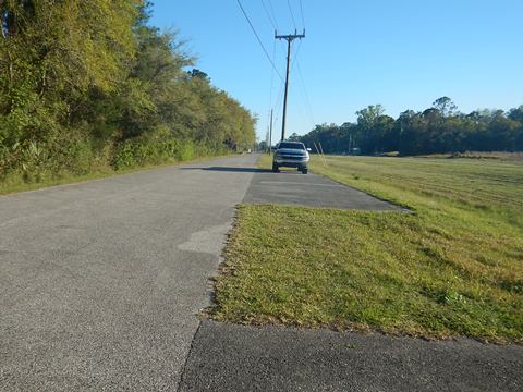
From the Hastings trailhead, the trail crosses Cracker Branch over a bridge, then rejoins SR 207. After crossing SR 207A (about 3 miles), the trail again leaves the roadway and continues along Stone Farm Rd., a quiet road past woodlands, fields and homes.
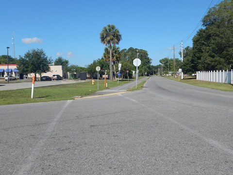
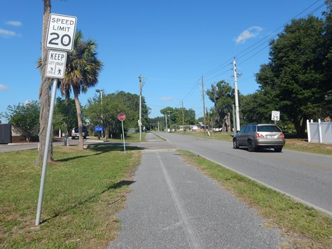
Entering East Palatka, the surroundings get busier. The trail turns southward and runs along Putnam County Blvd. to the trailhead at East River Road (parking only, 3 spaces). The trail ends at McCormick Rd. (kiosk) but continues seamlessly onto a connector trail that winds through East Palatka to the Palatka Urban Trail.
Connector to Palatka Urban Trail - 2 miles
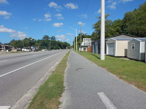
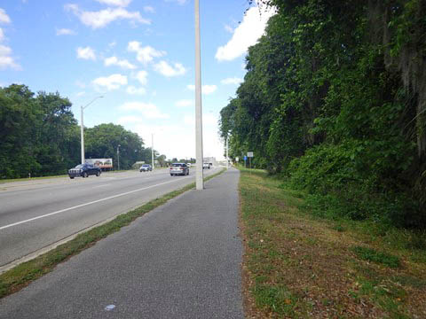
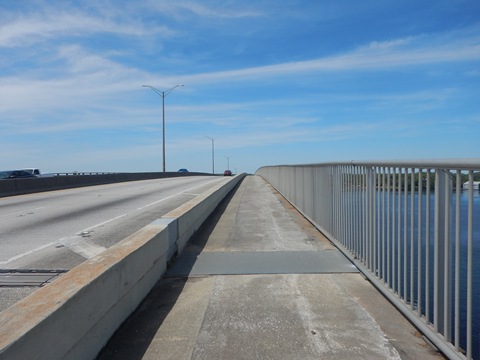
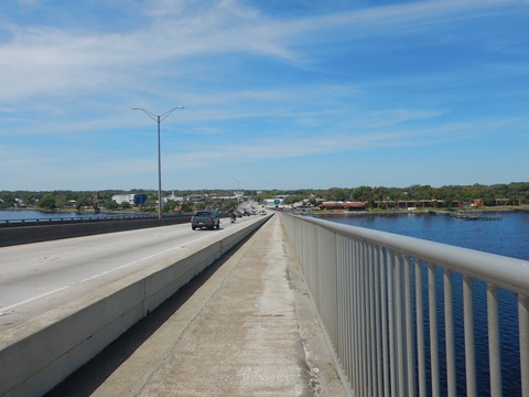
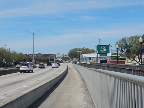
From McCormick Rd., The connector trail winds through East Palatka, emerging along US 17 and running west over the St. Johns River on Memorial Bridge to join the Palatka Urban Trail. The protected bike lane is a bonus, but the ride alongside the busy road is very noisy.
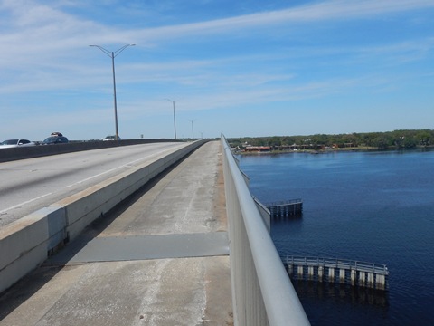
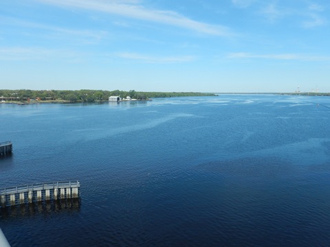
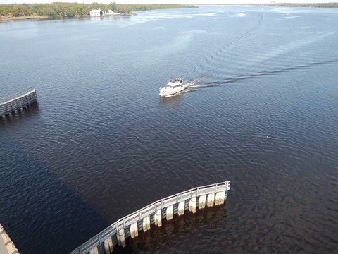
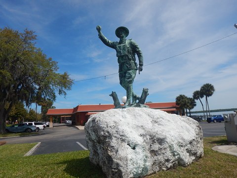
Memorial Bridge spans the St. Johns River between Palatka and East Palatka. The original bridge built in 1888 was for rail traffic, in 1927 the first concrete bridge included two lanes for vehicle traffic. The current 4-lane bridge was completed in 1976. Dedicated to Putnam County's military personnel, four Doughboy Statues stand guard, two at each end of the span.
McCormick Rd. to Memorial Bridge
Crossing the Bridge
More Information and Resources
Nearby Biking:
Palatka Area Overview
- Palatka to Lake Butler State Trail
- Palatka Urban Trail
- Ravine Gardens State Park
- Gold Head Branch State Park
North FL Region - More trails plus Regional Overview map
Related Resources:
Florida State Parks -
Palatka to St. Augustine State Trail
Florida State Parks - Cycling on the Palatka to St. Augustine State
Trail
Find Trails by FL Region or Listed A - Z

100FloridaTrails.com... 100+ Florida Multi-use Bike Trails, Best for Safe, Fun Recreation and Fitness
Other Websites:
BikeOrlando.net
PaddleFlorida.net
BikeTripper.net
Copyright © 100FloridaTrails.com. All Rights Reserved.
