100 Florida Trails®
Top FL Multi-use Bike Trails
Map Links & Photos Galore
Coast-to-Coast Updates
You are here > Home >
Trails >
East Florida >
New Smyrna Beach
Latest update: December 2019
New Smyrna Beach... East Florida
Popular for Beach Biking, Plus Surfing and More
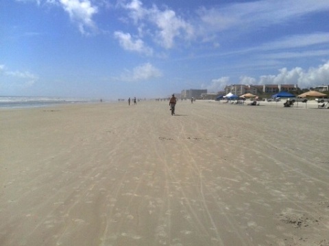
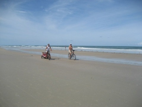
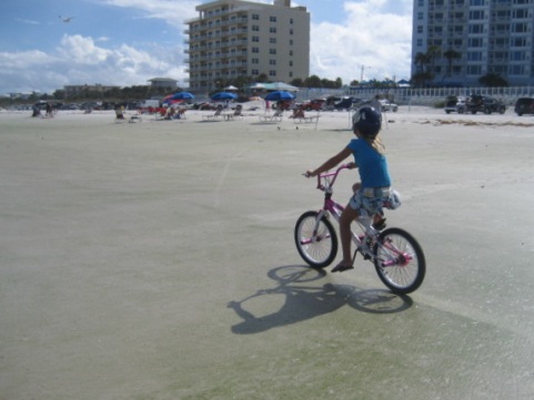
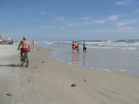
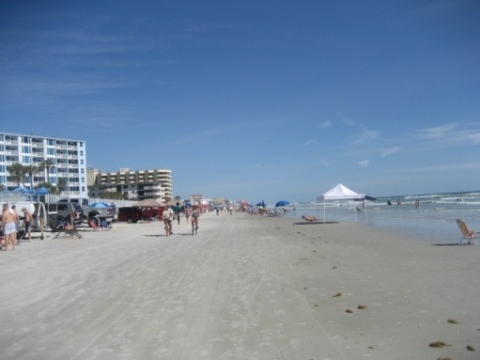
A favorite among many Orlando area residents - known for surfing, New Smyrna Beach is also a great town for biking and beach biking (best near low tide). While the beach is the draw, there's more biking at New Smyrna Beach on a few paved trails. "Old" New Smyrna Beach (around Flagler Ave.) is all bikeable, but watch out for cars especially on weekends. Both the (planned) St. Johns River to Sea Loop and (planned) East Coast Greenway will also run through New Smyrna Beach. (Map link and photos below.)
Location: Volusia County
End Points:
New Smyrna Beach, access via vehicle ramps and pedestrian walkways
Mileage: Various, about 4 miles on Saxon Dr.
Surface: Hard-packed sand at low tide; Saxon Dr. trail is paved;
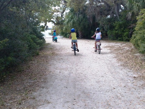
unpaved through the woods riverside
Nearby points of interest: Canaveral National Seashore,
Museum of Arts and Sciences, Embry-Riddle University, Ponce Inlet Lighthouse
Bike Shops/Rentals:
Beach
Bike & Kayak
Fox Firestone
Bicycle Shop
Nichols Surf Shop
Pedego Electric Bikes
Alan's
Mobile Bicycle Service and Repair
Page Summary:
- Biking at New Smyrna Beach
- On the Beach
- Saxon Drive and Indian River
- New Smyrna Beach Multi-use Trail
- Riverside Drive
- St. Johns River-to-Sea Loop - More Information and Resources
Biking at New Smyrna Beach... Comments and Photos
On the Beach (best at low tide)
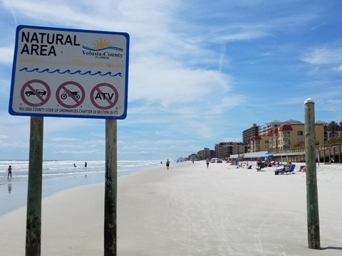
The beach is open to motor vehicle traffic so be careful of the cars, and also for pedestrians and children darting in and out. South of the 27th St. ramp the beach is closed to traffic, but the sand also gradually becomes softer. We like biking north to the inlet, where the beach is much wider, yet there tends to be fewer people - unless the surf is up.
Saxon Drive and Indian River
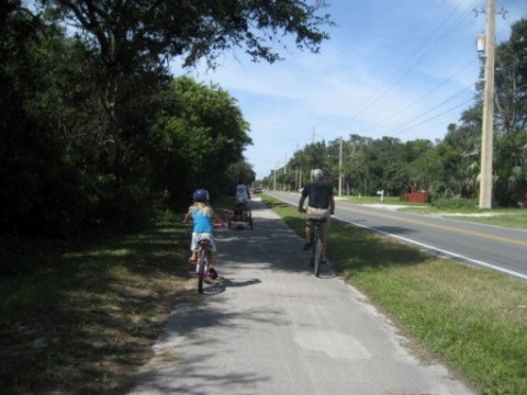
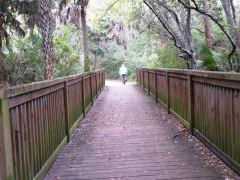
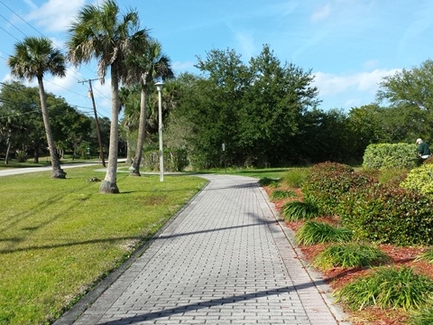
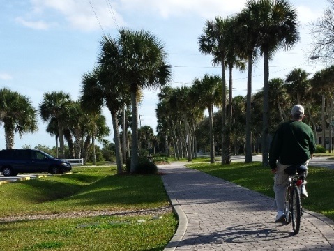
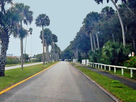
- A 4-mile paved bike path runs along Saxon Drive between A1A and 3rd St. (SR 44), on one side is a tidal marsh with a parallel unpaved trail with several side-trails out to the Indian River.
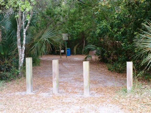
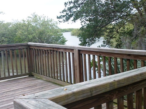
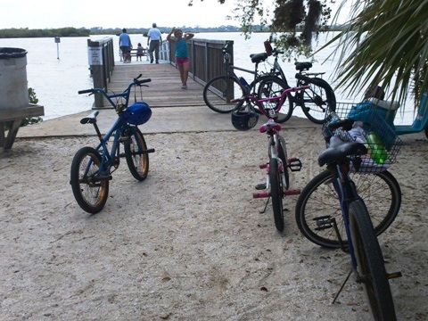
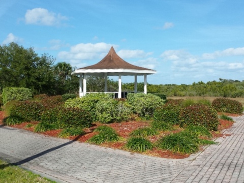
- At Indian River Lagoon Preserve Park off Sandpiper St. is a paved loop with an unpaved trail linking to a floating dock at Brown's Bay.
New Smyrna Beach Multi-use Trail
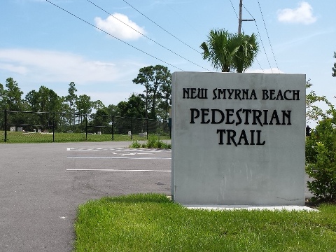
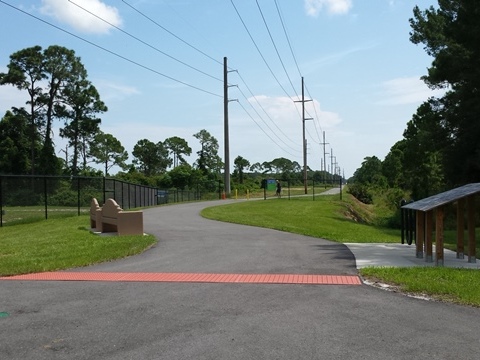
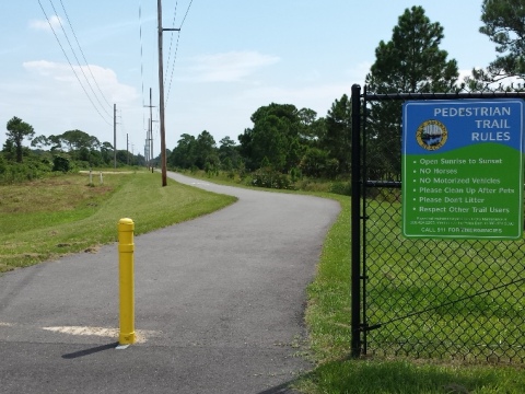
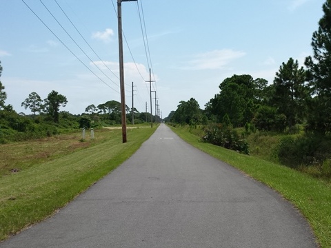
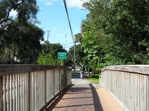
The New Smyrna Beach Multi-Use Trail runs along a power line 2 miles from Sugar Mill Drive to West Pine Street, near the downtown area. Eventually, plans call for extending the trail from I-95 to downtown, with a link to the planned Cross Volusia Trail.
Riverside Drive
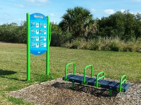
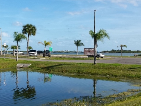
A bike path runs along the Indian River on Riverside Drive from New Smyrna Beach into Edgewater. Several parks are pleasant stops, with restrooms and parking. Fitness stations are another feature along the path.
St. Johns River-to-Sea Loop
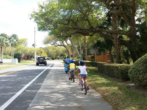
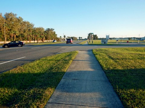
The St. Johns River-to-Sea Loop (SJR2C) when complete will run the length of New Smyrna Beach, north to south. Starting along A1A at Port Orange, it passes New Smyrna Beach Airport, branches off east to N. Riverside Drive, and then turns west on a route to S. Myrtle Ave. It follows S. Myrtle Ave. south to Edgewater and meets the East Central Regional Rail Trail at 10th St. near Daytona State College. The route also is part of the East Coast Greenway (Maine to Key West). Note: This is the planned route, partly bikeable on sidewalks or along the road (be very careful). Details may change as the SJR2C project progresses.
More Information and Resources
Nearby Biking:
East Central Regional
Rail Trail
Halifax River Trail
St. Johns River-to-Sea Loop
- an evolving trail network
East FL Region
- More trails plus Regional Overview map
Nearby Paddling:
Callalisa Creek
Shipyard Island
Related Resources:
New Smyrna Beach Visitor Bureau - Parks and Trails
New Smyrna Beach - Bike the Beach
Find Trails by FL Region or Listed A - Z

100FloridaTrails.com... 100+ Florida Multi-use Bike Trails, Best for Safe, Fun Recreation and Fitness
Other Websites:
BikeOrlando.net
PaddleFlorida.net
BikeTripper.net
Copyright © 100FloridaTrails.com. All Rights Reserved.
