100 Florida Trails®
Top FL Multi-use Bike Trails
Map Links & Photos Galore
Coast-to-Coast Updates
You are here > Home >
FL Eco-biking >
Riverbend Park
Latest update: March 2022
Riverbend Park Biking... Jupiter, Florida
Easy to Bike, Hard-Pack Trails at Historic Site by Loxahatchee River
This lovely 680-acre Palm Beach County Park along the Loxahatchee River (a National Wild and Scenic River) has a long history, from native Indian archaic, to Seminole, to pioneer Cracker Settlers, to the Seminole Wars (more below). Today, the park is popular for biking, hiking, paddling, horseback riding, and picnicking. Featured are 10 miles of hiking/biking trails, 7 miles of equestrian trails, and 5 miles of paddling trails. An outfitter at the park rents both bicycles and kayaks/canoes. The park includes historic exhibits and re-creations, and is adjacent to Loxahatchee River Battlefield Park. Wildlife include alligators, turtles, otters, deer, herons, turkeys and other bird species. No park entry fee. (Map link and photos below.)
Location: Palm Beach County (Jupiter)
Surface: Packed shell
Mileage: 10 miles
Nearby points of interest: Loxahatchee River,
Loxahatchee River Battlefield Park, Jonathan Dickinson State Park
Bike Shops/Rentals:
Jupiter Outdoor
Center
Page Summary:
- Eco-biking at Riverbend Park
- Riverbend Park Trailhead
- Biking on Riverbend Trail
- Riverbend Trail to Picnic Island
- Picnic Island
- Picnic Island to Cow Pen Picnic Area
- Cow Pen to Cracker Farmstead and Seminole Village - Ocean-to-Lake Trail and Return to
Trailhead
- Ocean-to-Lake Trail to Park Exit-South
- Ocean-to-Lake Trail to Reese Trail and Return to Trailhead - Jeaga Wildways
- Some History
- More Information and Resources
Eco-biking at Riverbend Park... Comments and Photos
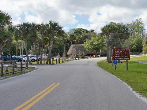
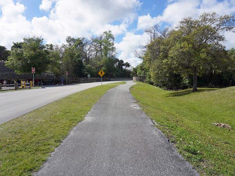
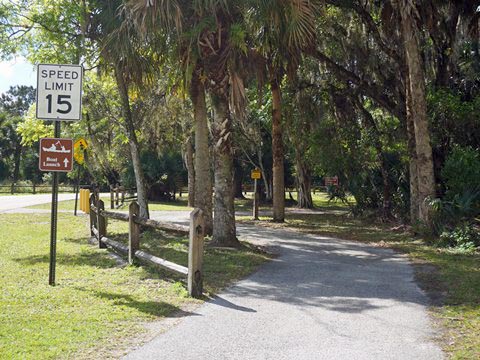
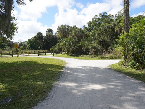
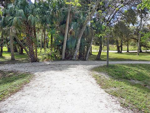
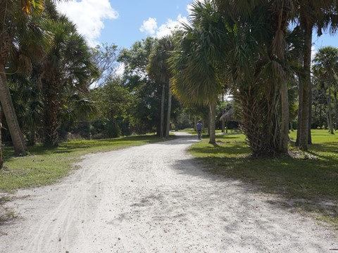
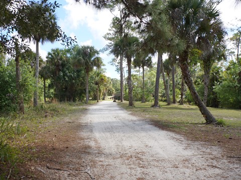
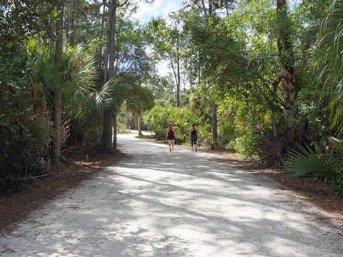
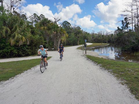
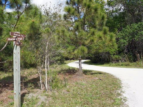
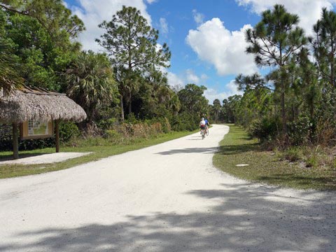
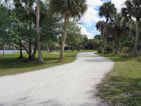
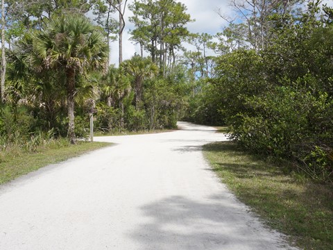
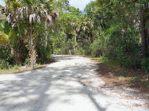
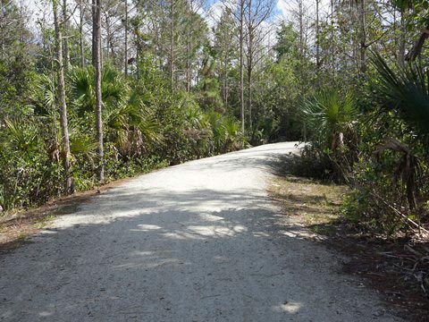
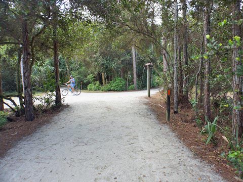
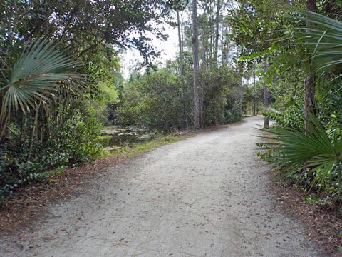
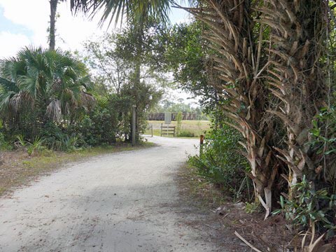
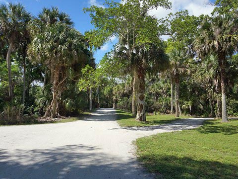
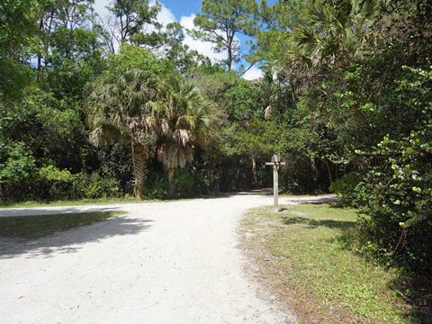
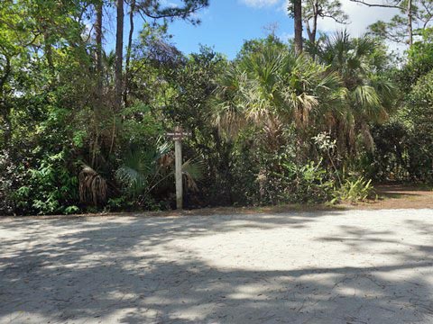
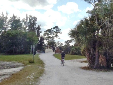
The trails intersect and loop, choose your route - our ride shown here is but one of numerous options. Both the Riverbend Trail (which loops the northern section of the park) and Reese Trail (which provides a link to the southern sections) start at the trailhead. "Road signs" at intersections help navigate the way, but we found the park's trail map and a GPS handy for staying oriented. The compacted shell trails are good even for skinny tires, making this one of the easiest "eco-biking" rides in Florida, good for family outings. Trailhead parking is at the park offices just off W. Indiantown Road (SR 706). Vehicles are allowed on Picnic Island, but other picnic areas (Cow Pen, Big Hammock, and East Grove) are only reachable by bike and foot.
Riverbend Park Trailhead
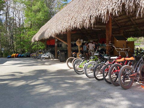
Trailhead - Bike Rentals
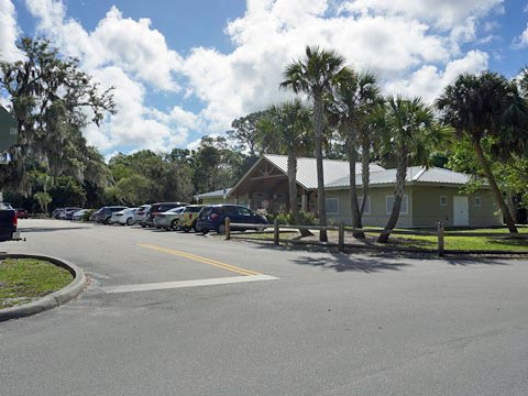
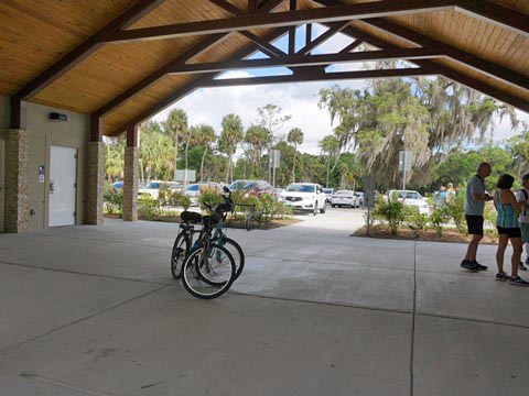
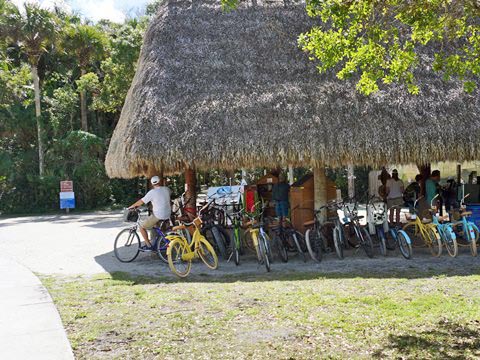
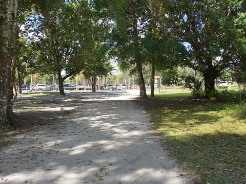
At the trailhead are parking, restrooms, picnicking, and park offices. The Jupiter Outdoor Center rentals are located near the main entrance, just off the park road.
Biking on Riverbend Trail
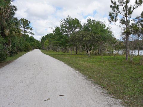
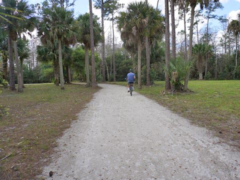
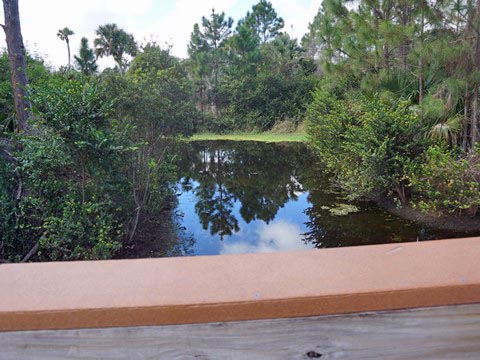
Riverbend Trail loops the northern section of the park, from here we visited Picnic Island, Cow Pen picnic area, the Cracker Farmstead with historical restorations, and Indian Village re-creation. There are many shady wooded sections, scenic views and occasional wildlife.
Riverbend Trail to Picnic Island (0.9 mile)
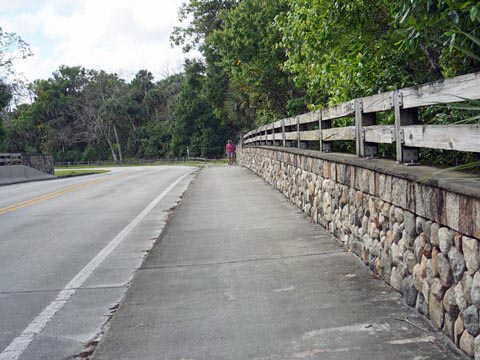
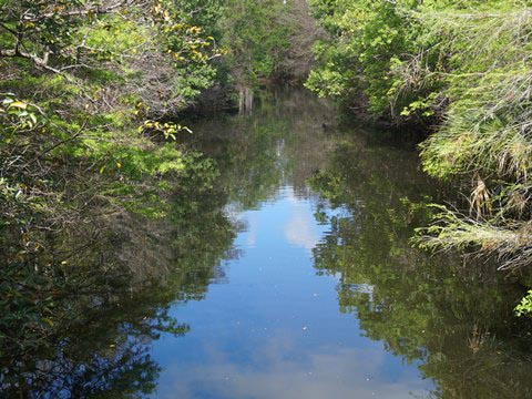
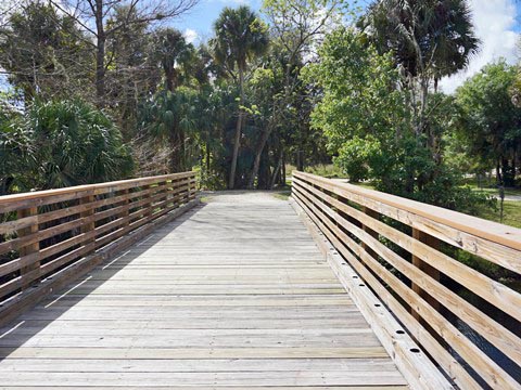
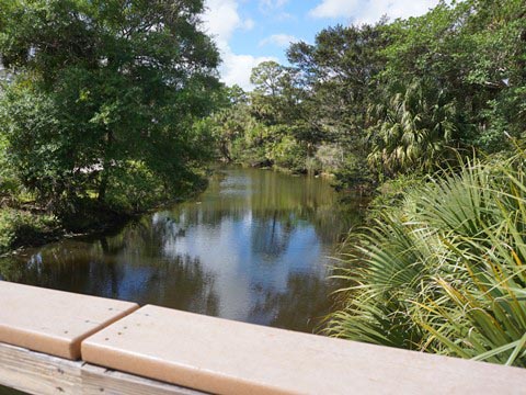
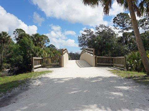
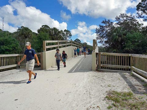
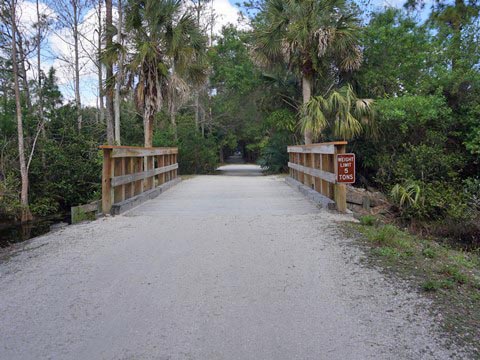
Leaving the trailhead, we crossed the park road to ride the section of trail running roadside, crossing the Loxahatchee River. The trail runs well off the road, Battlefield Park is to the right. The park road ends at the point it turns onto Picnic Island, while the trail continues along its loop. It crosses onto Picnic Island at a bridge over the Loxahatchee, about 4/10 mile past the vehicle entrance.
Picnic Island (1 mile)
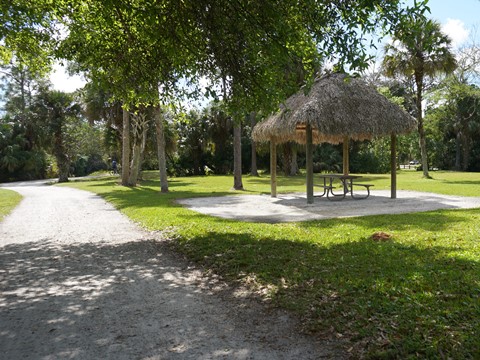
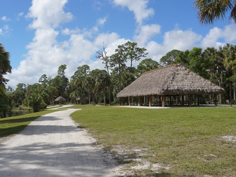
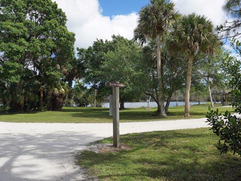
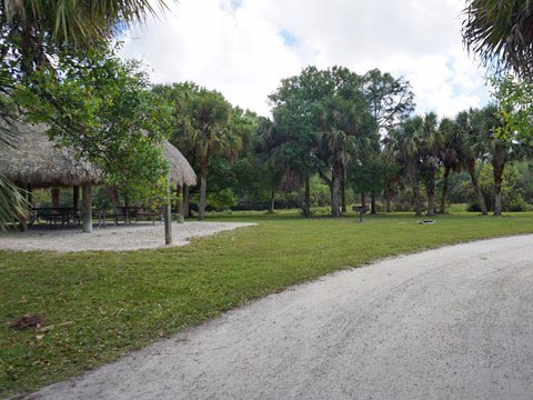
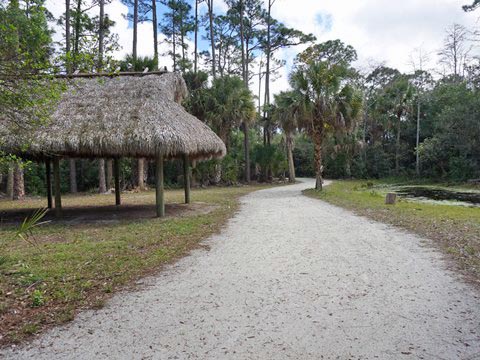
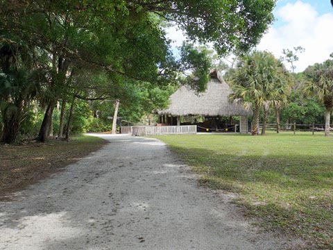
Picnic Island includes parking, restrooms, chickee picnic pavilions, and a kayak/canoe launch.
Picnic Island to Cow Pen Picnic Area (0.5 mile)
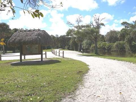
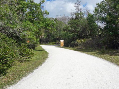
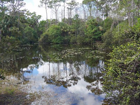
From Picnic Island we continued along Riverbend Trail, again crossing the Loxahatchee. After passing the intersections with Riverwalk Trail and Reese Trail (information kiosk) watch for the turn-off to Cow Pen Picnic Area. A trail loops the scenic picnic area around Cow Pen Lake (0.2 mile), a port-o-let is available.
Cow Pen to Cracker Homestead and Seminole Village (0.3 mile)
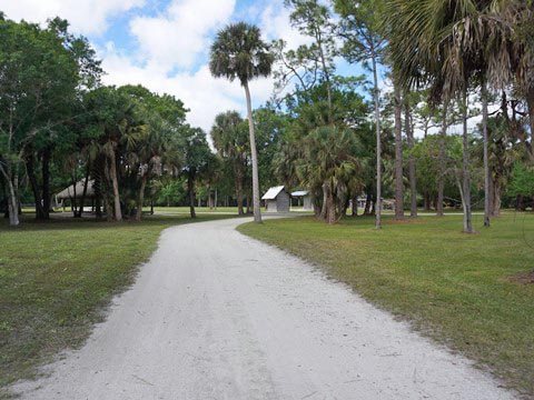
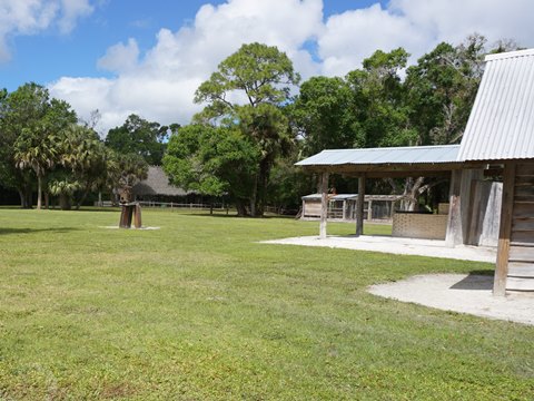
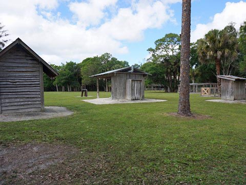
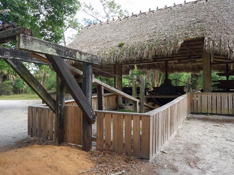
Exiting Cow Pen Loop and continuing along Riverbend Trail, we arrived at a crossroad at Indian Camp Trail. To the left, Indian Camp Trail connects to the Farmstead Loop Trail (0.5 mile) around the restored Cracker Farmstead, sawmill and cane press exhibits (port-o-let also available). To the right, it runs through the re-created Seminole Village site (0.2 mile). We visited both.
Cow Pen to Seminole Village
Cracker Farmstead
Ocean-to-Lake Trail and Return to Trailhead
Back at Indian Camp Road, we checked the trail map and decided to visit the Ocean-to-Lake Trail. This trail is a spur off the Florida National Scenic Trail that runs 61 miles from Hobe Sound to Lake Okeechobee, about 1.5 mile is within Riverbend Park. We rode to the southern end of the park, then biked Reese Trail to return to trailhead. (Note: Beyond the park as it continues to Lake Okeechobee, Ocean-to-Lake Trail becomes hiking only.)
Ocean-to-Lake Trail to Park Exit-South (1 mile)
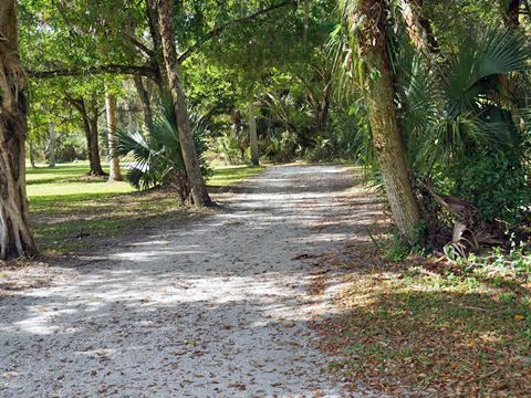
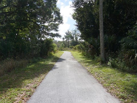
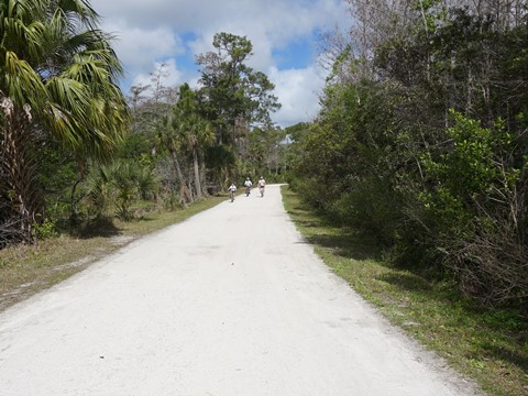
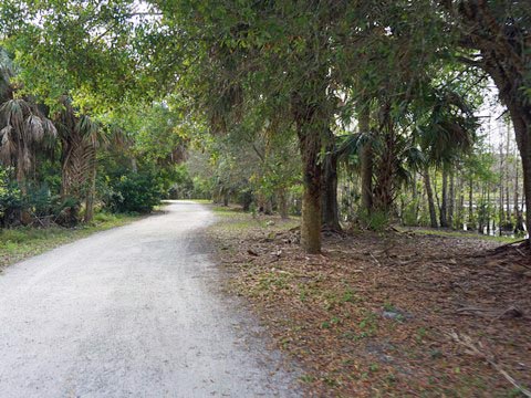
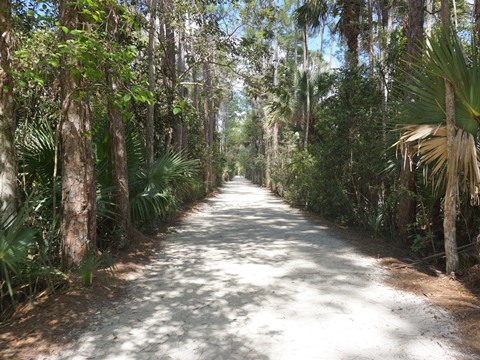
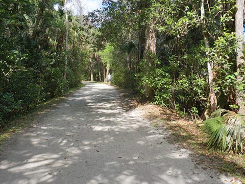
Ocean-to-Lake Trail is a scenic and serene forest ride with a lot of shade. We rode the trail south to where it exits Riverbend Park. Here it meets the C-18 Canal and continues its trip to Lake Okeechobee.
Ocean-to-Lake Trail to Reese Trail and Return to Trailhead (1.6 mile)
From the end of Ocean-to-Lake Trail we followed Grove Trail, to Hunters Loop Trail, to Reese Trail. We then biked Reese Trail back to the trailhead. A lot of shade on this route, very pleasant.
Jeaga Wildways
Riverbend Park serves as the hub for the Jeaga Wildways , an initiative in Palm Beach and Martin Counties to utilize conservation lands for outdoor recreation. Covering more than 160,000 acres from Lake Okeechobee to the Atlantic, it includes over 300 miles of biking, hiking, equestrian and paddling trails north, east, south and west of Riverbend Park.
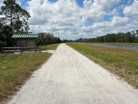
At the park's south end, go through the gate onto the C-18 Canal levee. The Bluegill Trail (link below) starts here and runs for 9 miles to Grassy Waters Preserve.
Some History
The Park's long history spans 5,000 years from the native Indian Archaic period to the Seminole and the influx of European settlers in the 1800's - visit the Cracker Farmstead and sawmill, and the Seminole Village and chickees. An adjacent area is Loxahatchee River Battlefield Park, site of Powell's Battle and Jesup's Battle, skirmishes between the Seminole Indians and the U.S. Military in 1838.
More Information and Resources
Nearby Biking:
Bluegill Trail
Jonathan Dickinson State Park
Palm Beach Lake Trail
Southeast FL Region -
More trails plus Regional Overview map
Nearby Paddling:
Loxahatchee River at Riverbend Park
Related Resources:
Town of Jupiter - Riverbend Park
Palm Beach County -
Riverbend Park
Palm Beach County -
Loxahatchee River Battlefield Park
Find Trails by FL Region or Listed A - Z

100FloridaTrails.com... 100+ Florida Multi-use Bike Trails, Best for Safe, Fun Recreation and Fitness
Other Websites:
BikeOrlando.net
PaddleFlorida.net
BikeTripper.net
Copyright © 100FloridaTrails.com. All Rights Reserved.
