100 Florida Trails®
Top FL Multi-use Bike Trails
Map Links & Photos Galore
Coast-to-Coast Updates
You are here > Home >
Trails >
North Florida >
Timucuan Trail
Latest update: November 2023
Timucuan Trail... Premier North FL Biking
Scenic, Paved Bike Trail, Featuring State Parks along Florida's Northeast Coast
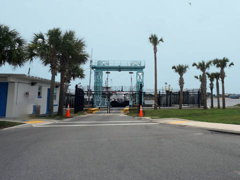
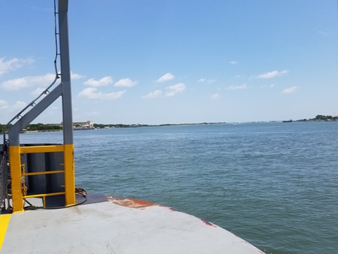
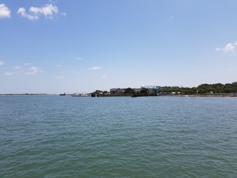
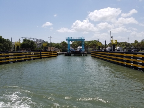
Located north of Jacksonville and the St. John's River, the Timucuan Trail runs mostly north-south, parallel to coastal Hwy A1A. Connected to the Amelia Island Trail at its northern end, the Timucuan Trail runs south through Big Talbot Island State Park and Little Talbot Island State Park, then onto Fort George Island, before officially ending (after a ride on the State Park's St. Johns River Ferry) in Mayport, FL. The Timucuan Trail is also part of the East Coast Greenway (Maine to Key West). (Map link, photos below)
Location: Nassau and Duval Counties
End Points: Amelia Island State
Park, Big Talbot Island State
Park, Little Talbot Island State Park, Timucuan Ecological and
Historical Preserve, Kingsley Plantation
Mileage: 10 miles (18 when complete)
Surface: 10-12 feet, paved
Nearby points of interest: Timucuan Ecological and Historical Preserve,
Kingsley Plantation, Fort Caroline, St. Johns River Ferry
Bike Shops/Rentals:
Kayak Amelia (Big Talbot Island
- check for availability)
Support/Advocacy:
Timucuan Parks Foundation
Page Summary:
- Biking on the Timucuan Trail
- Big Talbot Island
- Big Talbot Island State Park
- Spoonbill Pond Boardwalk to Big Pine Trailhead - Big Talbot Island to Little Talbot Island
- Big Pine Trailhead to Little Talbot Island State Park - Little Talbot Island
- Little Talbot Island State Park to Fort George Island - Fort George Island
- Huguenot Memorial Park
- St. Johns River Ferry - Nearby Places of Interest
- Timucuan Ecological and Historical Preserve
- Kingsley Plantation - More Information and Resources
Biking on the Timucuan Trail... Comments and Photos
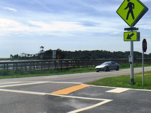
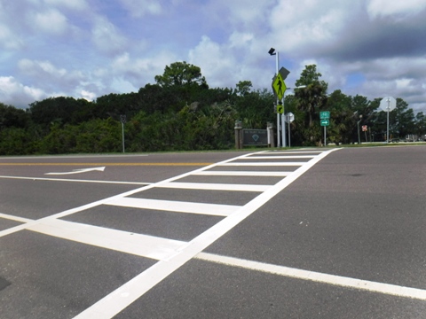
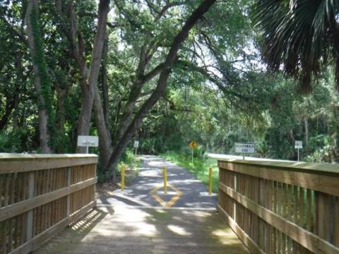
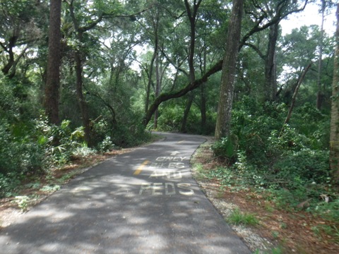
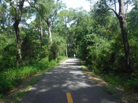
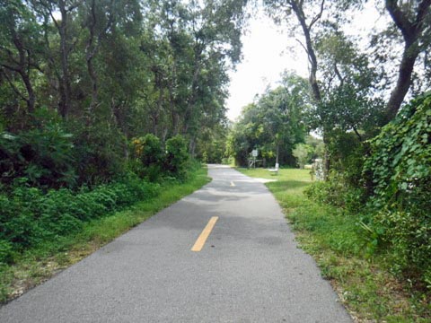
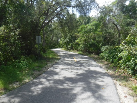
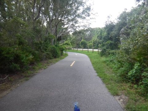
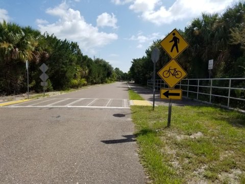
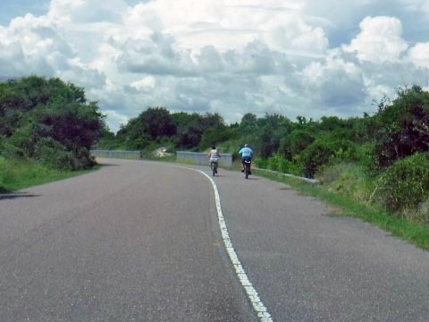
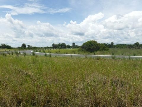
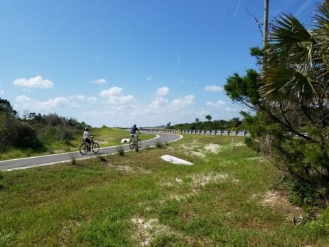
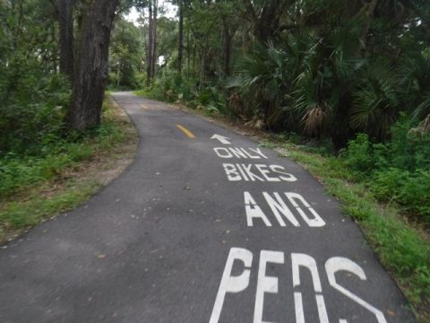
The Timucuan Trail is an easy ride with few road crossings, and access to some Florida State Parks with beaches and camping. Mixed shade and sun - bring hat, water, bug repellant. A few sections still run on the road shoulder pending future construction. The trail is a key link on the growing coastal trail system from the St. Mary's River to the St. Johns River in northeast Florida.
Big Talbot Island
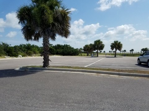
At the north end, parking is available just south of the A1A bridge over Nassau Sound at the Sawpit Creek Boat Ramp (parking, restroom), across the road from the trail - or park at Amelia Island State Park and ride on the A1A shoulder over the bridge, which is parallel to the George Crady Bridge Fishing Pier State Park (unfortunately the old bridge is shut off at the southern end and is not a not a through route, though it's a pleasant bike ride on the pier to the dead-end).
Spoonbill Pond Boardwalk to Big Pine Trailhead (3.5 mi.)
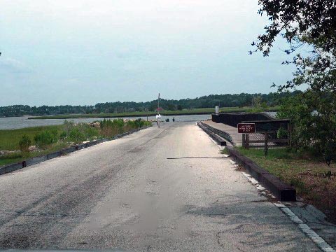
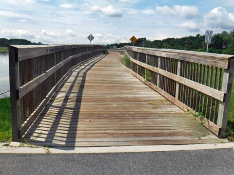
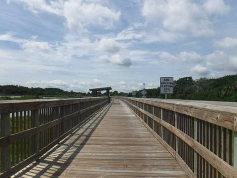
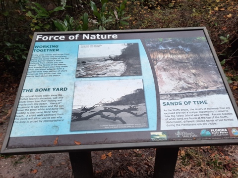
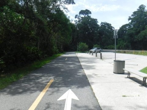
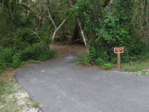
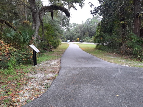
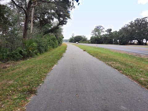
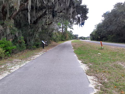
The trail starts out as a long boardwalk along Spoonbill Pond, a popular birdwatching area, then runs through Big Talbot Island State Park - scenic, paved, some sections alongside the roadway. Interpretative signs are located regularly along the trail. There are several trail parking areas along A1A with access to beaches and hiking trails.
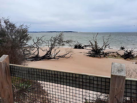
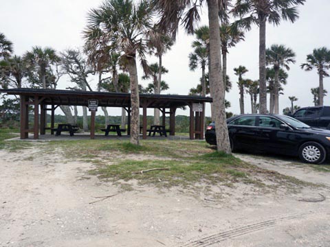
- Boneyard Beach and The Bluffs is a popular stopping point (parking, picnic, porta-potties). The 3-mile beach is littered with twisted driftwood trees deposited over the years, said to resemble old bones.
- Blackrock Trailhead (parking, benches) - trail to Driftwood Beach.
- Big Pine Trailhead (parking, benches) - trail to Simpson Creek marshes.
Big Talbot Island to Little Talbot Island
Big Pine Trailhead to Little Talbot Island State Park (1.5 mi.)
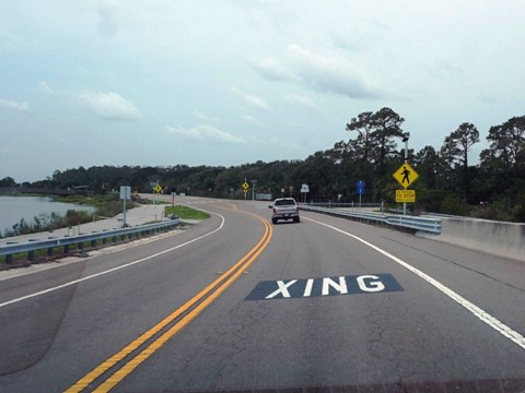
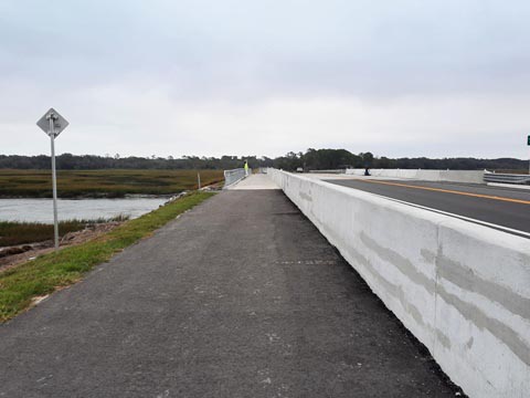
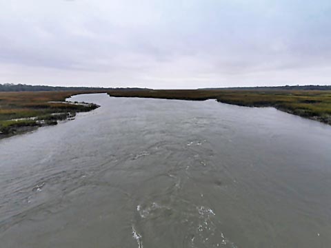
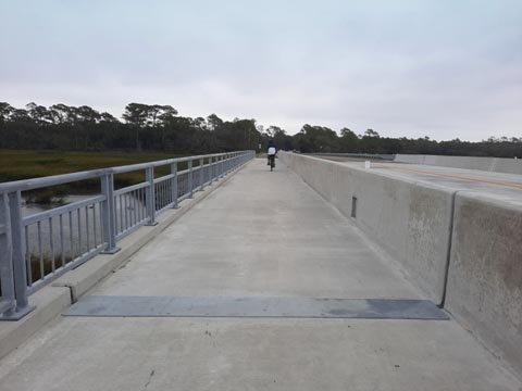
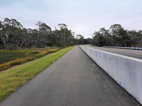
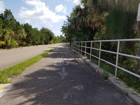
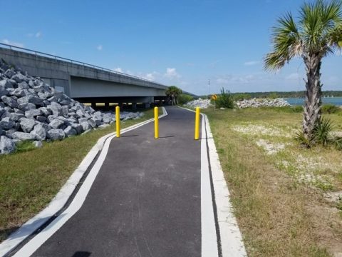
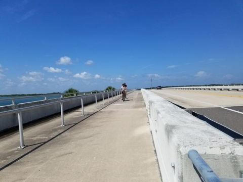
This is the newest portion of paved trail (2023) - previously, biking was on the A1A shoulder. From Big Pine Trailhead the trail crosses the bridge, separated from the road by a concrete barrier, over Simpson Creek, crossing Long Island then onto Little Talbot Island. Kayak Amelia (kayak and bike rentals) can be seen across the road. From there, the trail runs alongside A1A about 6/10 mile to the entrance to Little Talbot Island State Park.
Little Talbot Island
Little Talbot Island State Park to Fort George Island Bridge (3.2 mi.)
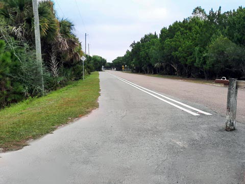
At Little Talbot Island State Park, the Timucuan Trail runs on a wide bike lane along the State Park road. Exiting the park road back onto A1A, the trail then runs about 1/2 mile to the bridge at Fort George Inlet (about 1/2 mile). A ramp leads down to a parking area along the river, or continue across the bridge to Fort George Island. Here again, the concrete divider on the Fort George River bridge is a benefit.
Fort George Island
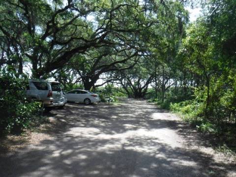
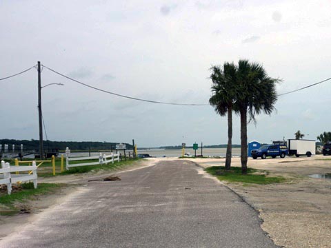
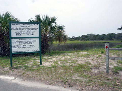
After crossing the Fort George River, a ramp leads down to Alimacani Park and Boat Ramp (parking, porta-pottie, picnic). A gap in the trail exists here (construction projected to begin in 2026). Ride on the A1A shoulder for 1/2 mile to Huguenot Memorial Park (parking, restrooms, picnic, camping; park fee applies).
Trail on Fort George Island
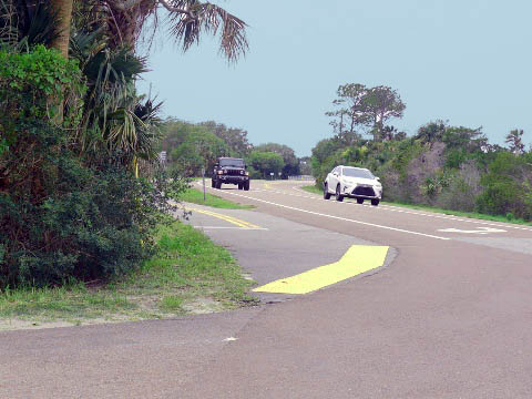
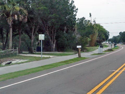
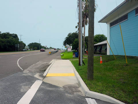
From Huguenot Memorial Park, the trail resumes alongside A1A, crossing Haulover Creek, to the St. John's River Ferry pier. Restaurants are available nearby. The trail extends across the St. Johns River via the ferry to Mayport. Eventually, it will continue to Kathryn Abbey Hanna Park (4 miles). Hanna Park includes 13 miles of mountain biking trails, parking, restrooms, kayaking, beach; camping. Park fee applies.
Huguenot Memorial Park to St. Johns River Ferry (1.5 mi.)
St. Johns River Ferry
Nearby Place of Interest
Timucuan Ecological and Historical Preserve
The National Park Service's Timucuan Ecological and Historical Preserve covers 46,000 acres including salt marshes, coastal dunes, and hardwood hammocks. Within the Preserve are biking and hiking trails, along with many historical sites. The Preserve covers 6,000 years of history dating from early Timucua Indian inhabitants. Fort Caroline National Memorial is a remnant of the short-lived French presence in the 16th century. This is a little-known place, well worth the visit. No fee.
Kingsley Plantation
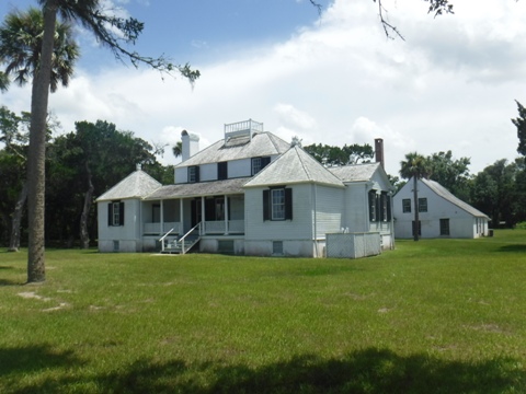
Kingsley Plantation on Fort George Island is part of the Timucuan Ecological and Historical Preserve. The plantation house built in 1798 is one of the oldest in Florida, and is the former estate of Zephaniah Kingsley who lived there 1814-37 with his multi-racial family - a slave owner, yet his wife Anna was a former slave whom he emancipated under Spanish rule at the time. It's an interesting story too long to tell here, here's an excellent article by Bonnie Gross at FloridaRambler.com with more details.
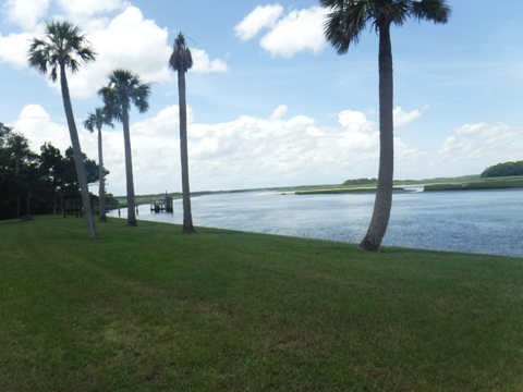
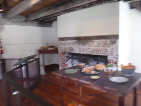
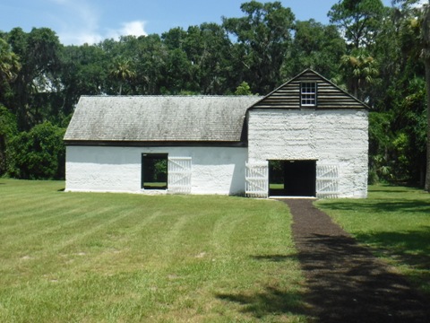
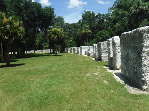
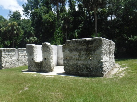
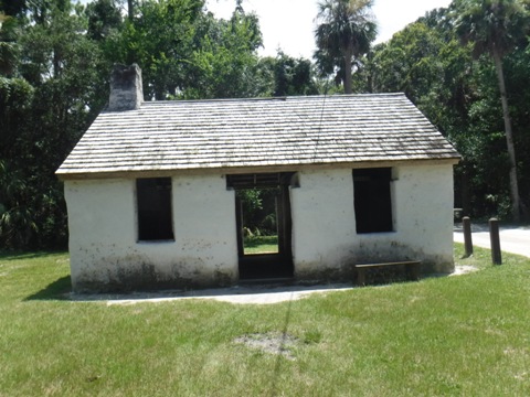
Today, visitors can learn about life on a plantation and the treatment of slaves while exploring the plantation house, remains of the slave quarters (25 slave cabins), barn, waterfront, kitchen house, gardens, and grounds. The house is located along the Fort George River, the main source of transportation and commerce at the time.
More Information and Resources
Nearby Biking:
Amelia Island Trail
North FL Region - More
trails plus Regional Overview map
Related Resources:
Florida State Parks -
Big Talbot Island State Park
Florida State Parks -
Little Talbot Island State Park
Florida State Parks -
Talbot Islands State Parks
Find Trails by FL Region or Listed A - Z

100FloridaTrails.com... 100+ Florida Multi-use Bike Trails, Best for Safe, Fun Recreation and Fitness
Other Websites:
BikeOrlando.net
PaddleFlorida.net
BikeTripper.net
Copyright © 100FloridaTrails.com. All Rights Reserved.
