100 Florida Trails®
Top FL Multi-use Bike Trails
Map Links & Photos Galore
Coast-to-Coast Updates
You are here > Home >
Trails >
North Florida >
Amelia River-to-Sea Trail
Reported: June 2023
Amelia River-to-Sea Trail... North Florida
Bike Trail Adds To Growing Amelia Island Trail Network
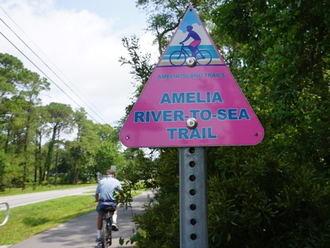
Amelia Island now has over 18 miles of multi-use trails, paths, and bike lanes, with several new trails in planning. The Amelia River-to-Sea Trail (“ARTS”) (aka Bailey-Simmons Multi-Use Trail) is a 3-mile paved trail that runs east - west along Simmons and Bailey Roads from Beach Access 30 at route A1A, to Crane Island Park along the Amelia River. It provides a safe route for non-motorized transportation, linking residential areas to parks and athletic facilities. Eventually it will connect to the longer Amelia Island Trail, when its extension is complete. (Map link and photos below.)
Location: Nassau County (Fernandina Beach)
End Points: Beach Access 30 (A1A) to Crane Island Park
Mileage: 3 miles
Trailheads/Parking: Beach Access 30, Simmons Park, Fernandina Beach Athletic Complex,
Crane Island Park
Surface: Asphalt, 10'
Nearby points of interest: Fernandina Beach Historic District, Fort Clinch
Bike Shops/Rentals:
Bike Amelia
(Fernandina Beach; rentals)
Beach Bikes
of Amelia
(Fernandina Beach; rentals)
Spokes Cycles
(Fernandina Beach; rentals, sales)
Support/Advocacy:
Friends of Amelia
Island Trail
Page Summary:
- Biking the Amelia River-to-Sea Trail
- Beach Access 30 to Fernandina Beach Athletic Complex
- Beach Access 30 to Simmons Park
- Simmons Park to Athletic Complex - Athletic Complex to Crane Island Park
- Along Crane Island Park Drive
- Crane Island Park - Nearby Places of Interest
- Historic Fernandina Beach, Fort Clinch - More Information and Resources
Biking the Amelia River-to-Sea Trail... Comments and Photos
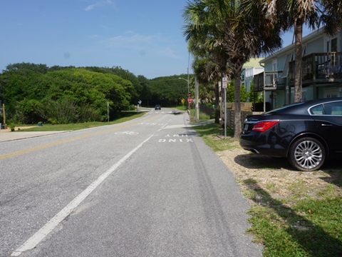
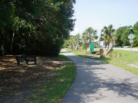
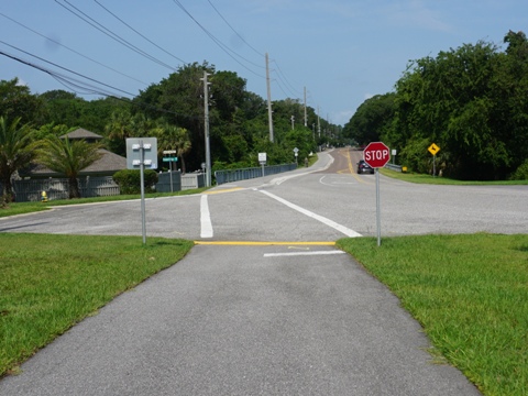
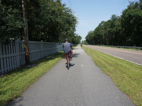
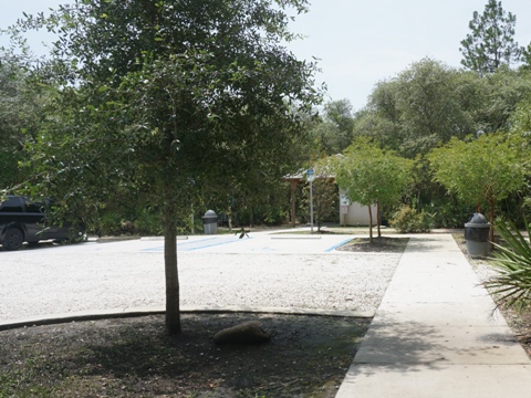
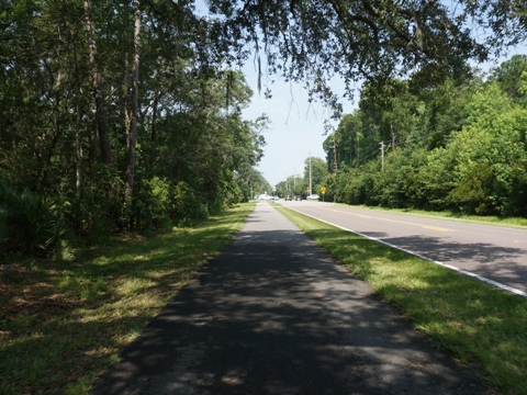
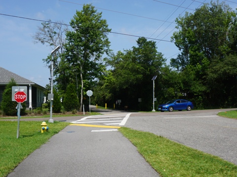
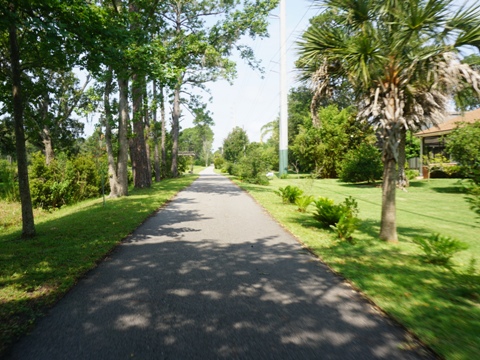
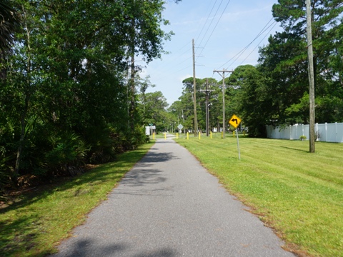
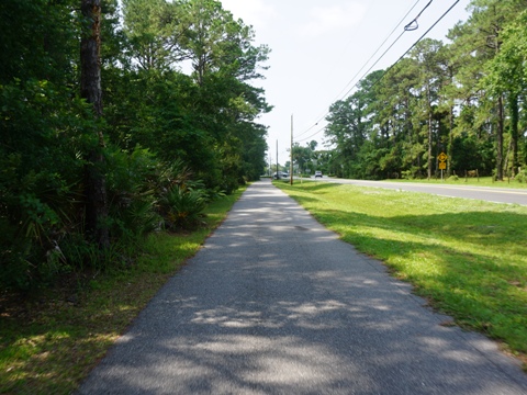
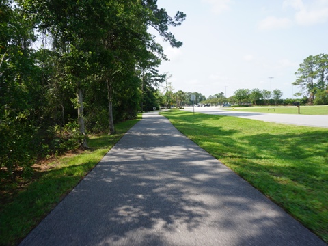
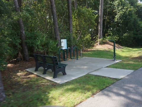
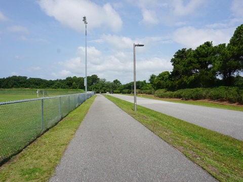
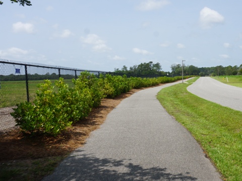
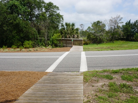
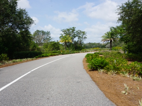
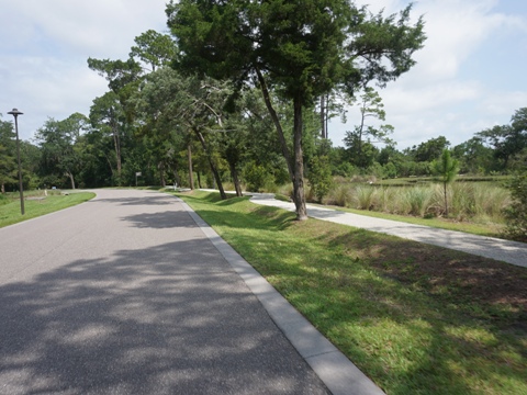
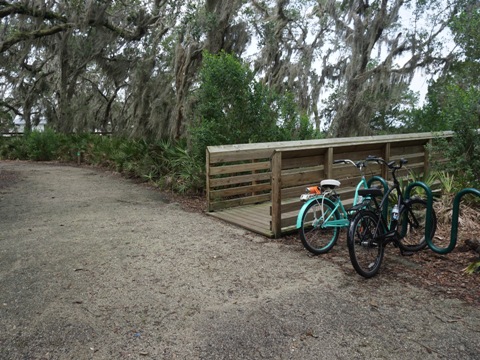
The trail runs alongside the road with a grassy median until reaching Crane Island Park where it goes off-road. There are several road crossings, mostly into residential neighborhoods, but do stay alert. Benches, bike racks, and bike fix-it stations are located along the way. Parking is available at the beach, at Simmons Park, at the Athletic Complex, and at Crane Island Park. For day visitors, we recommend Simmons Park which is a dedicated trailhead.
We visit the trail East to West
Beach Access 30 to Fernandina Beach Athletic Complex - 1.8 miles
Beach Access 30 to Simmons Park (0.6 mile)
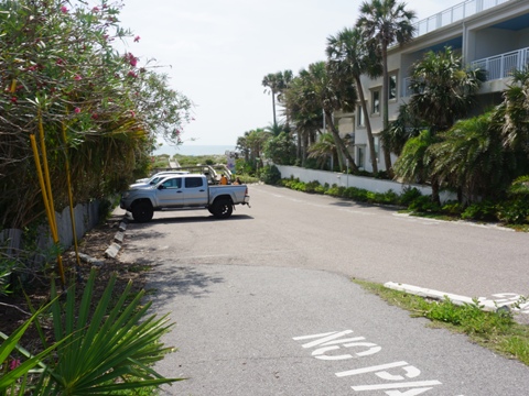
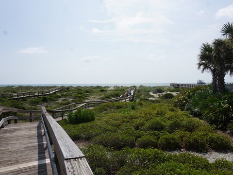
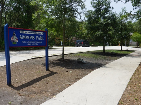
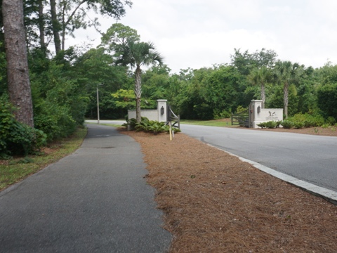
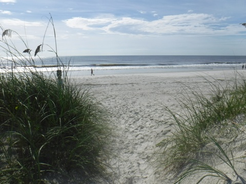
Beach Access 30 offers limited parking (mostly claimed early by beach-goers). A bike rack is provided, and several boardwalks cross over the dunes to the beach. The ARTS begins here at S. Fletcher Ave. (A1A). Ride one block on the shoulder to 1st Street, and cross Simmons Rd. to the paved trail. Proceed 0.7 mile west to Simmons Park (parking, restrooms, bike rack, fix-it station).
Simmons Park to Athletic Complex (1.2 miles)
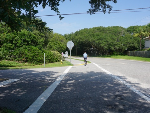
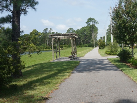
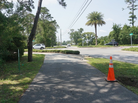
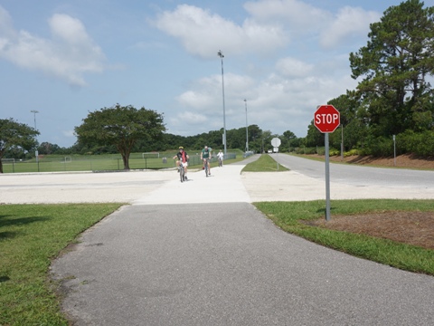
Continue on Simmons Rd. Crossing Amelia Rd., the trail runs through an easement spanning a break in Simmons Rd., past residential homes and a pond, then exiting at Bailey Rd. (0.9 mile). Follow the trail south along Bailey Rd., being careful at the roundabout at Amelia Island Pkwy. (future link to Amelia Island Trail), to the Fernandina Beach Athletic Complex (0.3 mile). The trail crosses several roads, bike riders take care.
Fernandina Beach Athletic Complex to Crane Island Park - 1.2 miles
Along Crane Island Park drive (0.8 mile)
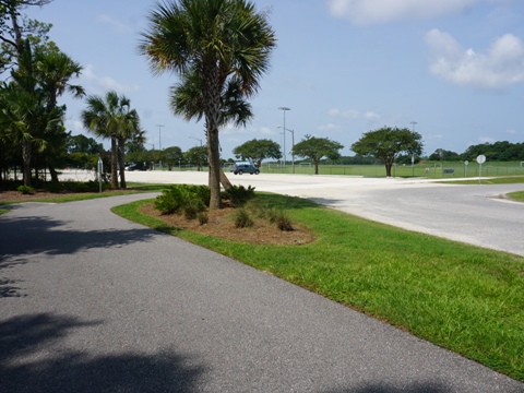
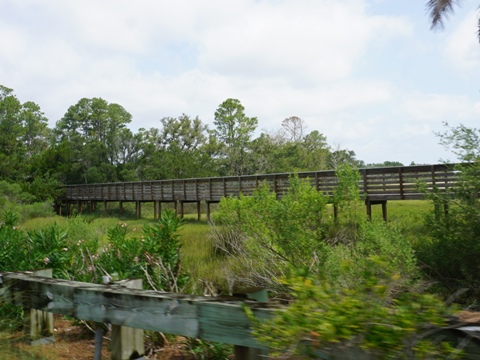
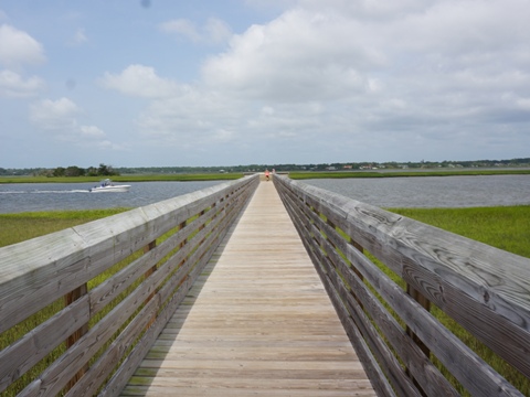
From the Athletic Complex, the trail passes playing fields and then Fernandina Beach Municipal Airport along the Craine Island Park drive. Past the airport and on Crane Island, the dedicated path ends with two options to continue to the park: ride on the road, or walk your bike across the scenic boardwalk. Shortly past the end of the boardwalk is the park entrance.
Crane Island Park (0.4 mile loop)
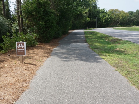
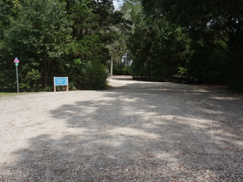
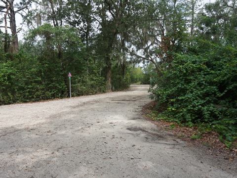
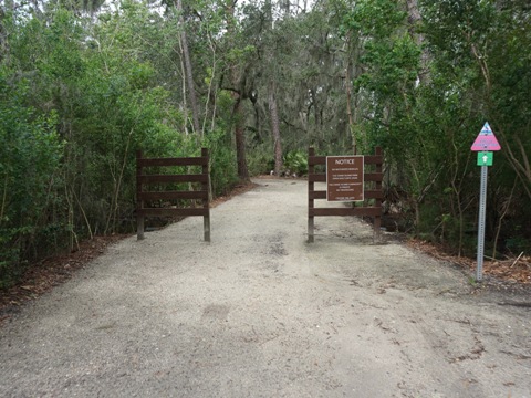
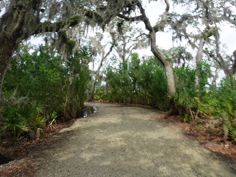
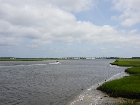
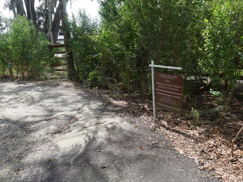
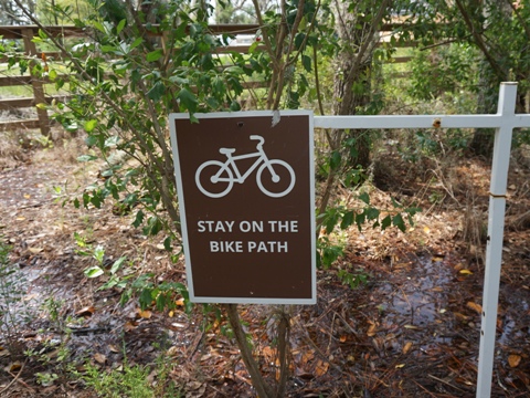
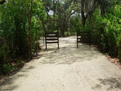
Starting from an unpaved parking area, the gravel trail is well maintained and easy to ride, looping around a portion of the island through Crane Island Park. Signs along the way mark the route, as well as reminders for bikers to remain on the bike path. At the western end, a boardwalk leads to a scenic viewing pier over the Amelia River. Crane Island is a private development, and signs ask that riders stay within the public park. The island was once the private enclave (1886-1952) of homesteader Sarah Alice Broadbent. Today, it's been developed with 112 homes. Of the 185 acres total, much remains under conservation, with Crane Island Park (open to the public) encompassing 15 acres.
Nearby Places of Interest
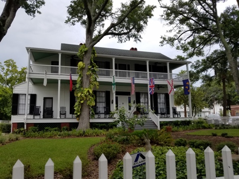
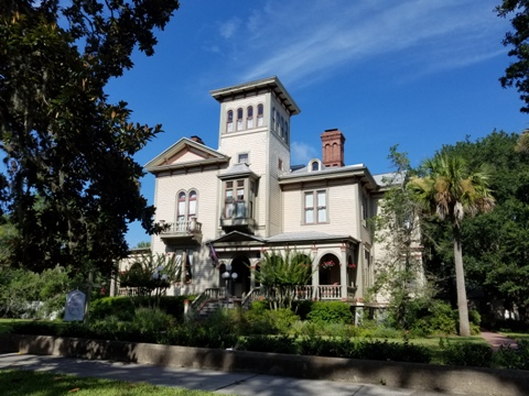
Historic Fernandina Beach
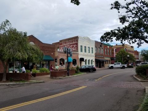
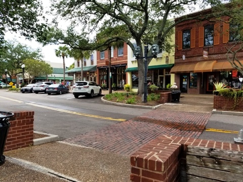
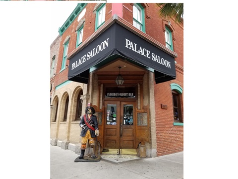
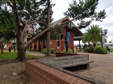
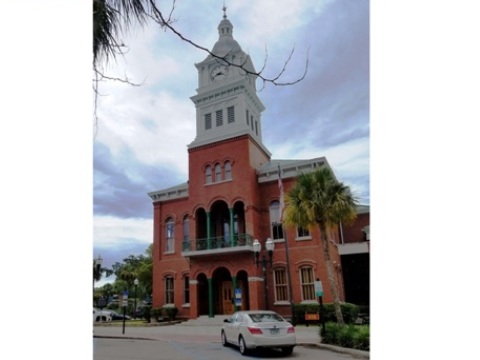
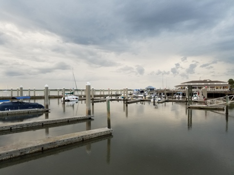
Fernandina Beach, the northernmost Florida city on the Atlantic coast, was designated as a Bronze Level Bike Friendly Community by the League of American Bicyclists. Easy to ride - the historic streets are bikeable and scenic. We particularly enjoyed the Historic Downtown District along the Amelia River with its restaurants, shops and interesting architecture. Dating from the 1800's, the 50-block district is listed on the National Register of Historic Places. Nearby, the Old Town Historic District is site of the last Spanish city platted in the western hemisphere - it retains the original 1811 plat and historic homes.
Fort Clinch
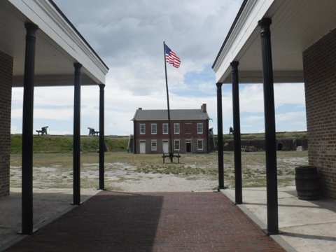
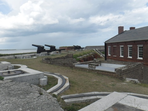
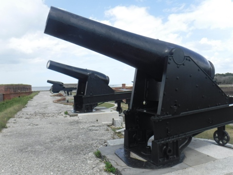
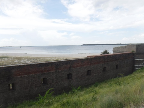
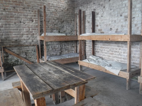
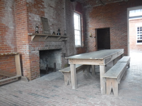
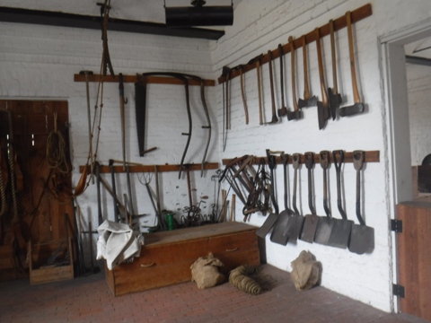
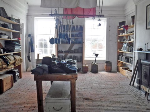
Fort Clinch, now a Florida State Park, is one of the best preserved 19th century forts. It lies along the St. Mary's River between Florida and Georgia, built to protect the entrance to the River and Cumberland Sound. First fortified by the Spanish in 1736, the U.S. built the fort after the Second Seminole War in 1847, then it was briefly seized by the Confederacy in 1861-62 before returning to Union control, where it was a base of operations throughout the Civil War. Now on the National Register of Historic Places, reenactments of life at the fort are staged by park volunteers. Biking is allowed on the Park road (3 miles), on an unpaved multi-use trail (6 miles), and on the beach (at low tide). The Park also offers parking, restrooms, a Visitor Center and Museum, picnicking, playground, beach, hiking, fishing.
Fort Clinch
More Information and Resources
Nearby Biking:
Amelia Island Trail
Timucuan Trail
North FL Region
- More trails plus Regional Overview map
Related Resources:
Amelia Island
Tourist Development Agency - Amelia Island Biking
City of Fernandina Beach -
Walking and Biking
Find Trails by FL Region or Listed A - Z

100FloridaTrails.com... 100+ Florida Multi-use Bike Trails, Best for Safe, Fun Recreation and Fitness
Other Websites:
BikeOrlando.net
PaddleFlorida.net
BikeTripper.net
Copyright © 100FloridaTrails.com. All Rights Reserved.
