100 Florida Trails®
Top FL Multi-use Bike Trails
Map Links & Photos Galore
Coast-to-Coast Updates
You are here > Home >
Trails >
Florida Panhandle >
Coastal Trail
Latest update: November 2024
Coastal Trail... Paved Biking, Florida Panhandle
Part of the "Capital City to the Sea" Regional Trail System
The Coastal Trail runs for 24.8 miles paralleling the Big Bend Scenic Byway (US 98) from the Ochlockonee Bay Trail at Spur Rd. in Panacea to the St. Marks National Wildlife Refuge at Lighthouse Rd. in Newport, connecting to the Tallahassee-St. Marks State Trail along the way. This is a mostly rural area with some business areas along the route, but the only town is Panacea. The Coastal Trail and its connecting trails are part of the Capital City to the Sea regional trail system. (Map link and photos below.)
Location: Wakulla County (Crawfordville)
End Points: Spur Rd. in Panacea to Lighthouse Rd.
in Newport
Mileage: 24.8 miles
Surface: Asphalt
Nearby points of interest: St. Marks National
Wildlife Refuge, St. Marks Lighthouse,
Wakulla Springs, Ochlockonee
River State Park, Bald Point State Park, Mashes Sands Park and Beach,
Gulf Specimen Marine Lab
Page Summary:
- Biking the Coastal Trail
- Tallahassee-St. Marks State Trail to Newport (Lighthouse Rd.)
- Tallahassee-St. Marks State Trail to SR 319 (Crawfordville Rd.)
- US 319 to Spur Rd. (Ochlockonee Bay Trail)
- Nearby Places of Interest
- Bald Point State Park
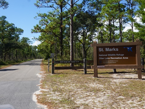
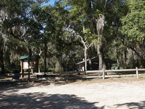
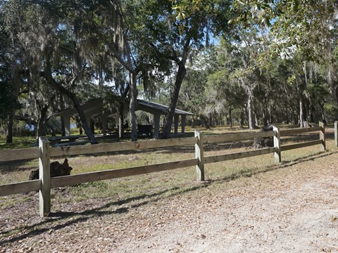
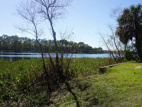
- Otter Lake Recreation Area (St Marks NWR)
- Ochlockonee Bay State Park - More Information and Resources
Biking the Coastal Trail... Comments and Photos
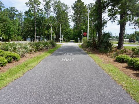
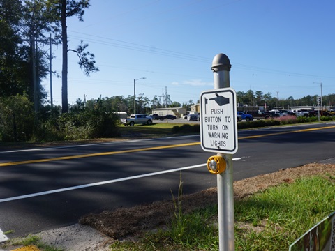
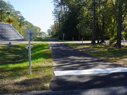
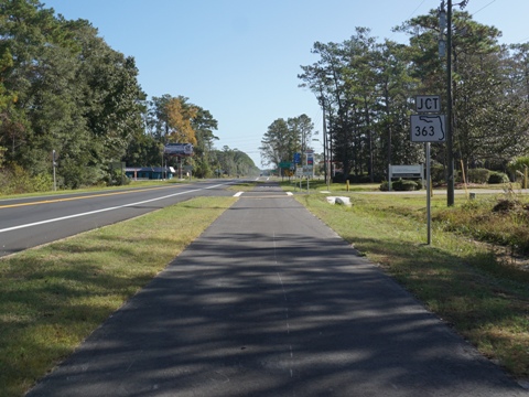
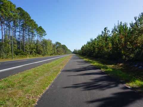
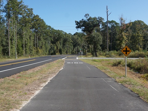
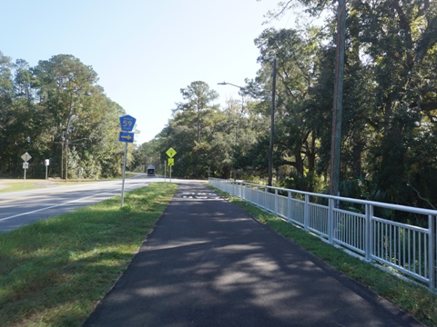
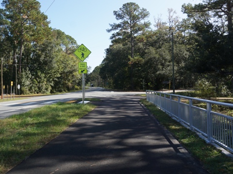
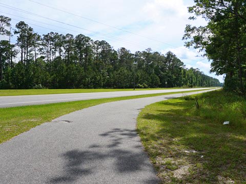
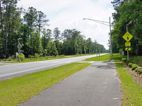
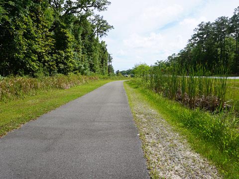
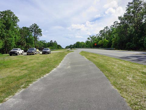
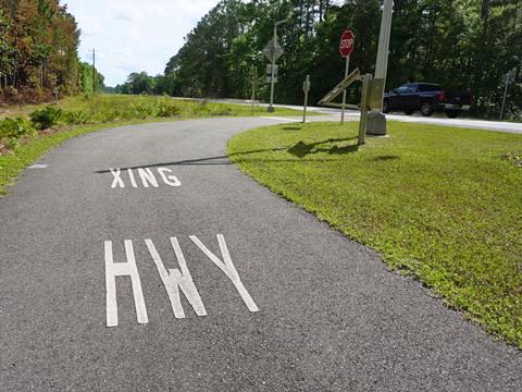
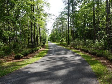
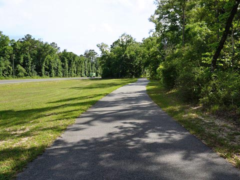
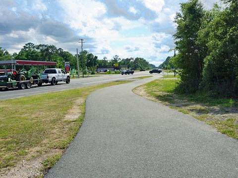
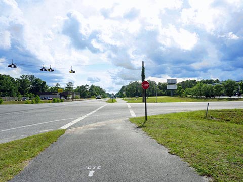
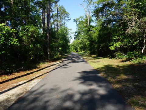
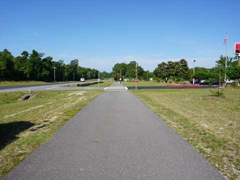
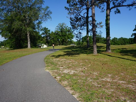
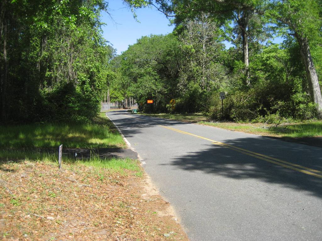
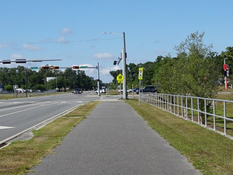
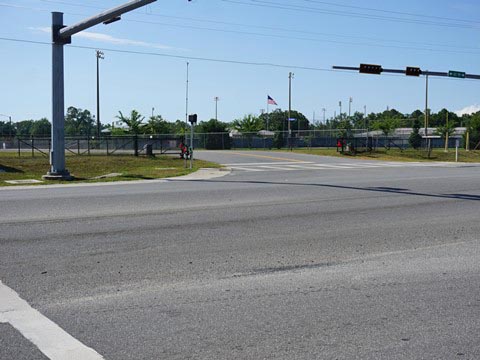
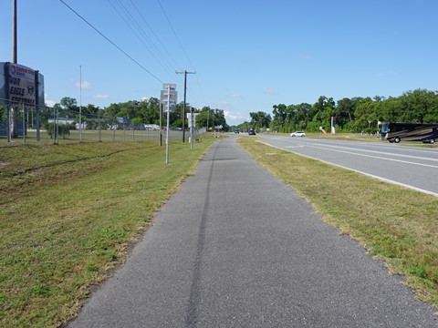
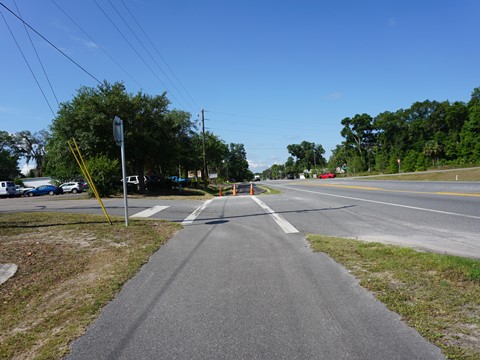
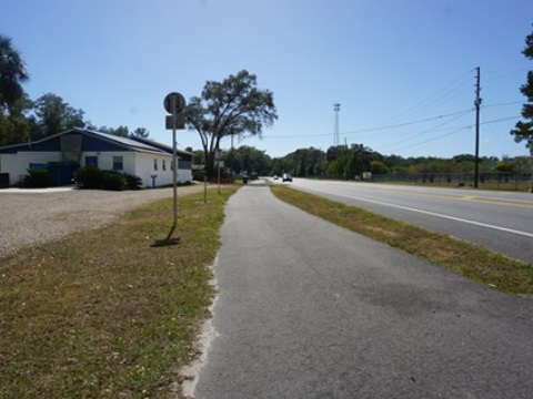
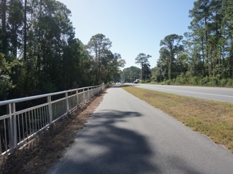
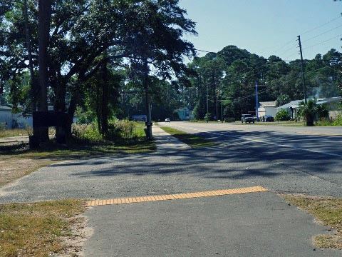
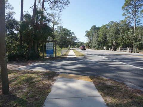
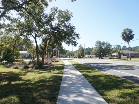
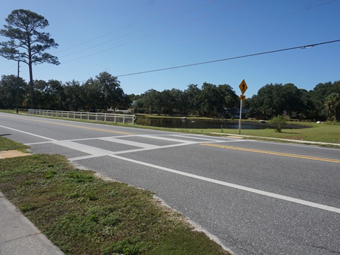
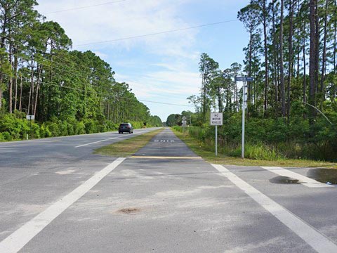
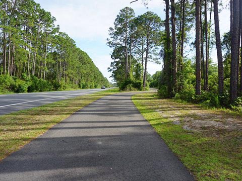
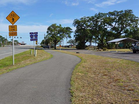
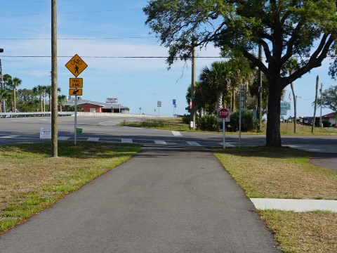
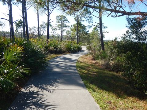
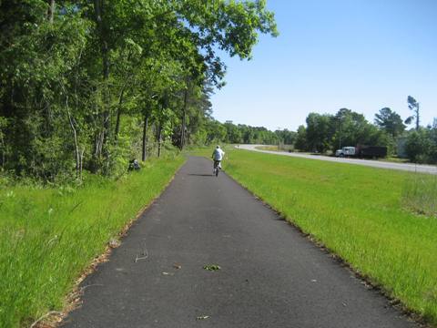
The paved bike trail is wide and flat, and the surface is in good condition. Road bikers will enjoy the long straightaways, wide fields of view, and typically few other bikers. It runs entirely parallel to US 98, road noise is a constant, but with a wide buffer that includes tree-lined sections further off the road. Landscaping has been added at crossings and along the trail. The trail crosses US 98 several times, some with flashing crossing lights. (It helps that in this area, US 98 is among the least-traveled coastal highways in Florida). There are quite a few driveways and business entrances along the way, but the only "busy" road crossing is the intersection at US 98 and US 319 in Crawfordville at Wakulla High School - use the crossing signal. Overall, we found this to be an easy and surprisingly pleasant ride in a rural area.
- Starting from the juncture with the Tallahassee-St. Marys State Trail, we first rode northeast to St. Marks National Wildlife Refuge at Lighthouse Rd. in Newport, and then southwest to the juncture with the Ochlockonee Bay Trail at Spur Rd. in Panacea.
Tallahassee-St. Marks State Trail to Newport - 2.75 miles
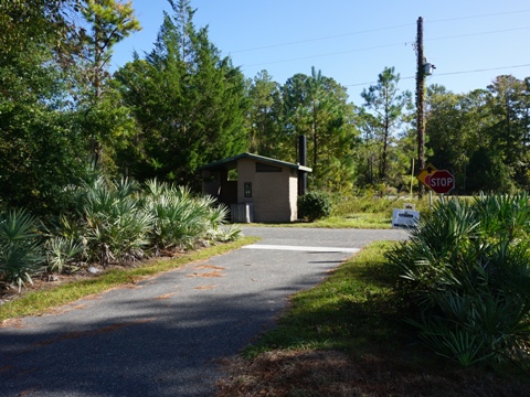
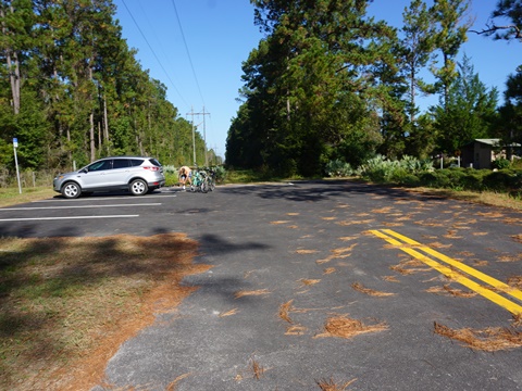
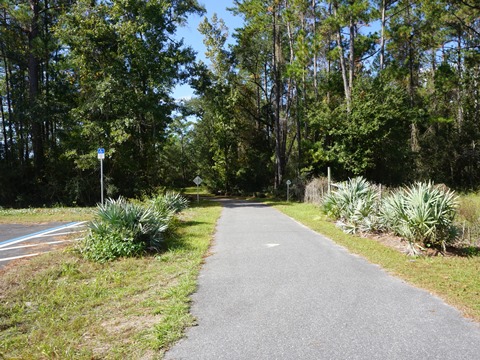
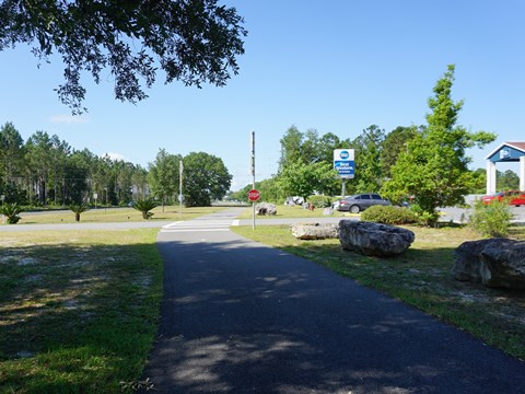
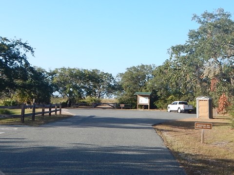
The juncture with the Tallahassee-St. Marks State Trail is just north of US 98, with a shared parking lot and restrooms. The trail is close to the roadway with a narrow buffer, crossing a couple of roads - the busiest at Port Leon Dr. (which parallels the State Trail to its end in St. Marks) - but overall this is a quiet area.
At the Trailhead
At the juncture, turn south onto the State Trail to cross US 98, then go left to proceed on the Coastal Trail alongside US 98.
Trail to Newport
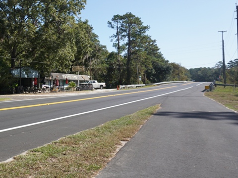
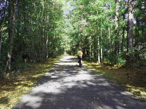
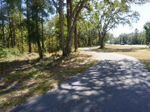
Most of the route is tree-lined. Just before crossing over the St. Marks River is a popular river-front oyster bar and grill.
End of Trail
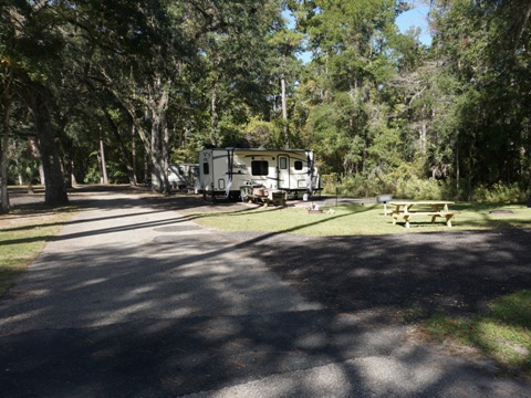
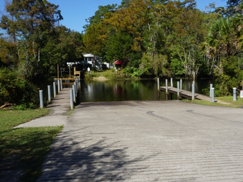
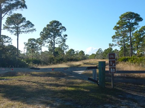
After crossing the river, the trail arrives at Lighthouse Rd. Across US 98 is a campground and boat ramp.
Note: Lighthouse Rd. is lightly traveled, bikeable to the St. Marks National Wildlife Refuge Visitor Center (3 miles) and Lighthouse (11 miles)
Tallahassee-St. Marks State Trail to US 319 - 12 miles
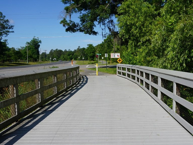
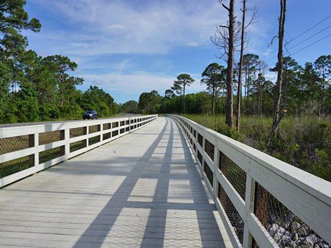
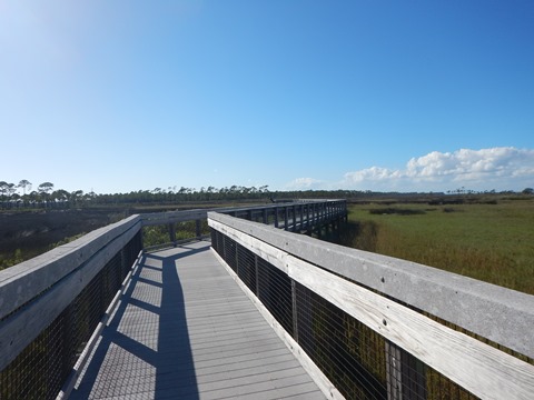
This section paralleling US 98 weaves back and forth between shady wooded sections and roadside, with boardwalks at wetlands, and some road and driveway crossings. Approaching US 319 (Crawfordville Rd.) is more commercial, including two hotels.
Trailhead to Wakulla River Bridge (2 miles)
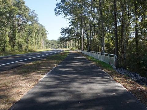
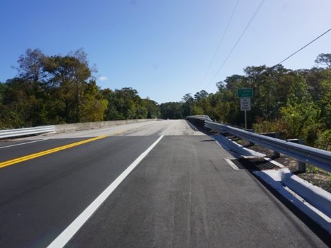
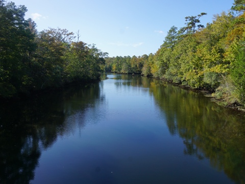
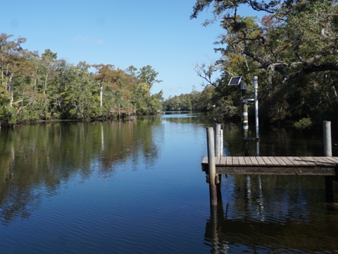
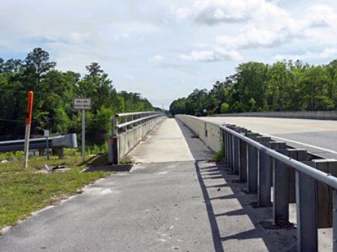
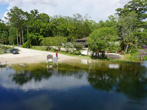
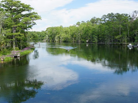
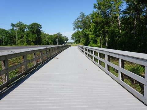
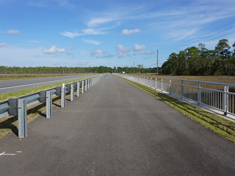
Southeast from the trailhead, cross to the south side of US 98 and continue roadside to the Wakulla River Bridge (parking, boat ramp, kayak/canoe outfitter). The trail across the bridge is separated from the road by a barrier, good for taking in the scenic view.
Note: This section also is part of the Florida National Scenic Trail.
Bridge to Spring Creek Hwy. ( 5 miles)
Past the bridge, the trail crosses back over to the north side of US 98. (The Florida National Scenic Trail angles away here.) The trail then runs a little further away from the roadway. At the Spring Creek Hwy. road crossing is a convenience store (restroom and snacks).
Spring Creek Hwy. to US 319 (5 miles)
The trail crosses a couple of short boardwalks over wetlands, and passes Wakulla Middle School . The recreational complex at Medart Park has parking and restrooms. At the intersection of US 98 and US 319, parking is available at Trinity Lutheran Church.
US 319 to Spur Rd. (trail end) - 10 miles
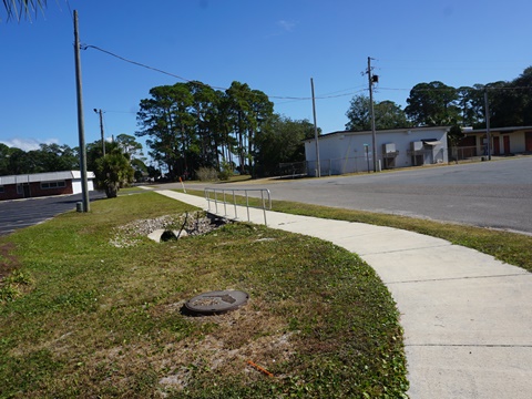
The trail continues paralleling US 98, mostly closer to the road with a narrow buffer, some areas further off the road. There are some road crossings, more as the trail runs through Panacea.
US 319 to Panacea (6 miles)
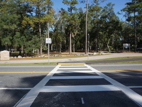
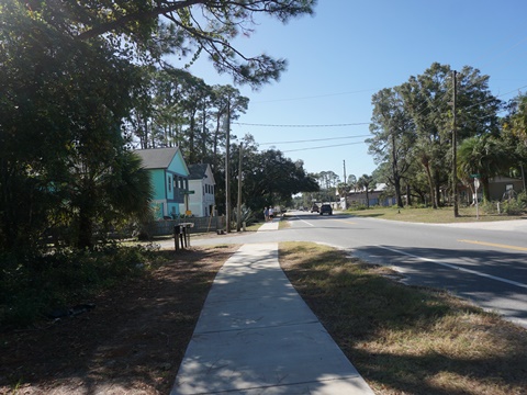
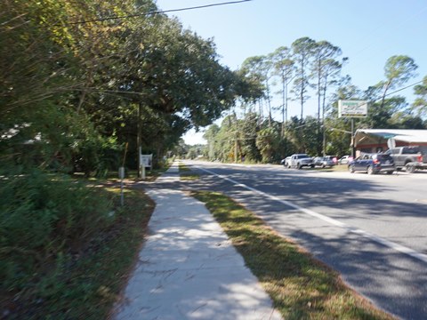
The trail crosses US 98 to Wakulla High School - it can get busy here, use the crossing signals. This section runs on the east side of US 98. There are some businesses along the way, but the route is mostly wooded or wetlands. It runs through the community of Medart, then at Panacea the trail narrows to a sidewalk.
Panacea and Woolley Park
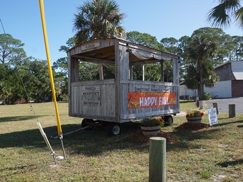
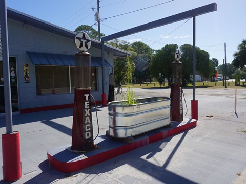
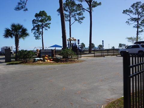
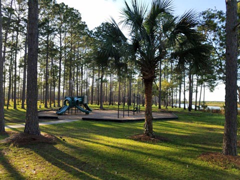
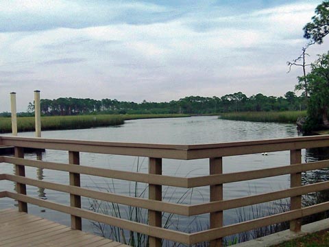
Panacea is a laid-back "old Florida" community with restaurants, shops, accommodations, and the Wakulla Welcome Center. To reach Woolley Park, continue along US 98 to Mound St. and go left about two blocks to the park (parking, restrooms, picnic, playground, walking path, and fishing pier).
From Woolley Park, go back to the shopping plaza and use the crosswalk to the west side of US 98.
Woolley Park to Surf Rd. (4 miles)
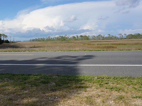
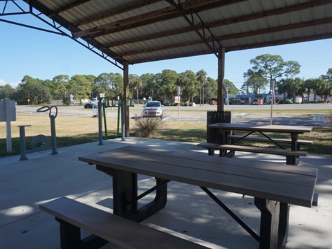
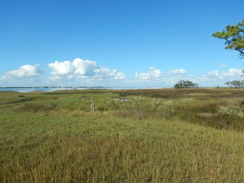
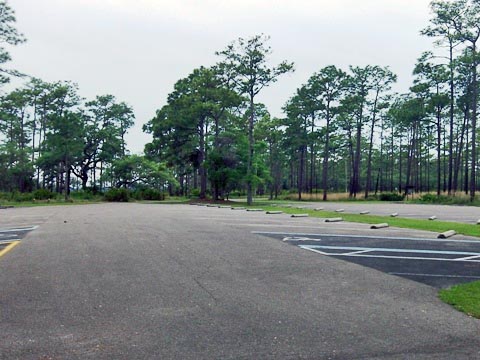
After crossing the road, continue on the west side of US 98 - the trail widens again past Mike's Marine. There's some shade to the north, giving way to unshaded wetlands as it approaches Ochlockonee Bay. Be careful at crossroads. The trailhead at Surf Rd. has parking, picnic, workout station, portalet. Convenience store and restaurant nearby.
At Surf Rd., the Coastal Trail meets the Ochlockonee Bay Trail (link below). Cross US 98 and go 2.5 miles east to Mashes Sands Park and Beach, or 10 miles west to the city of Sopchoppy.
Nearby Places of Interest
Here are some nearby parks and natural areas we enjoyed
Bald Point State Park
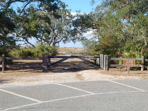
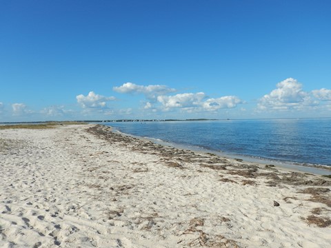
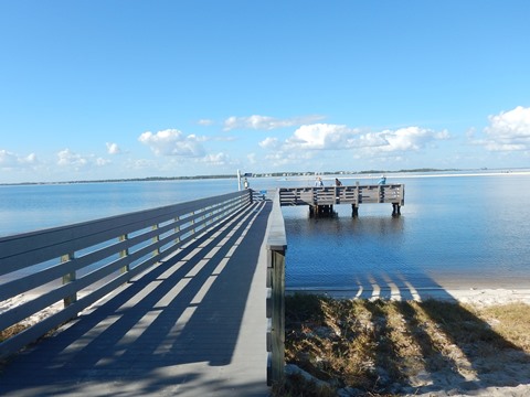
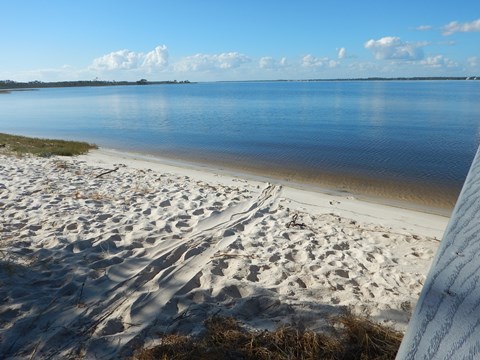
Bald Point State Park, along Ochlockonee and Apalachee Bays, has parking, restrooms, picnic facilities, beaches, camping, hiking trails, fishing dock, paddling, birding. Biking on park roads and multi-use trails. Park fee applies.
Otter Lake Recreation Area
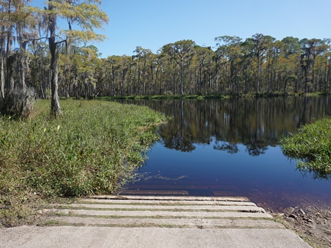
Otter Lake Recreation Area is part of the St. Marks NWR, offering parking, restrooms, picnic facilities, boat launch, hiking trails, camping, birding. Biking on park roads and Lake Loop. No fees.
Ochlockonee River State Park
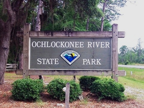
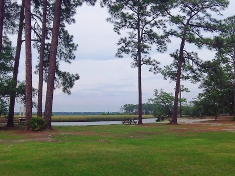
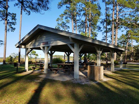
Ochlockonee River State Park has parking, restrooms, picnic, playground, hiking trails, boat ramp, swimming, fishing, camping. Biking (rentals available) allowed on park drives, and multi-use trails. Park fee applies.
More Information and Resources
Nearby Biking:
Ochlockonee Bay Trail
Tallahassee-St. Marks Historic Railroad State Trail
Capital City to the Sea Trails - an evolving Regional Trails System
FL Panhandle Region -
More trails plus Regional Overview map
Nearby Paddling:
Ochlockonee River
Related Resources:
Capital City to the Sea Trails - Coastal Trail (Facebook page)
Find Trails by FL Region or Listed A - Z

100FloridaTrails.com... 100+ Florida Multi-use Bike Trails, Best for Safe, Fun Recreation and Fitness
Other Websites:
BikeOrlando.net
PaddleFlorida.net
BikeTripper.net
Copyright © 100FloridaTrails.com. All Rights Reserved.
