100 Florida Trails®
Top FL Multi-use Bike Trails
Map Links & Photos Galore
Coast-to-Coast Updates
You are here > Home >
Trails >
Florida Panhandle >
Capital City to the Sea Trails
Latest update: November 2024
Capital City to the Sea Trails... Florida Panhandle
An Emerging System of Connected Bike Trails
The Capital City to the Sea Trails system will link Tallahassee to small towns along Florida's Gulf Coast, via a series of connected trails in Wakulla and Leon Counties - when complete, a 120 mile loop. We report on the individual trails that make up this vision to date: Capital Cascades Trail, Coastal Trail, GF&A Trail, Ochlockonee Bay Trail, and Tallahassee-St. Marks Historic Railroad State Trail. (Trail links & map below.)
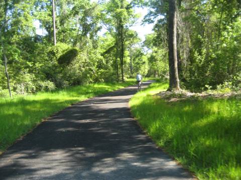
Capital City to the Sea Trails
Trails in System: 5 individual trails (links below,
each with its own report, map, photos).
Location: Leon County, Wakulla County, Florida
Mileage: 120 total when complete.
Surface: Mostly paved asphalt.
Nearby points of interest: St. Marks National Wildlife Refuge, St. Marks Lighthouse, Wakulla Springs, Mashes Sands Beach, and Tallahassee (State Capital, Florida State University, Florida A&M University, more)
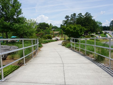
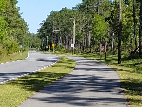
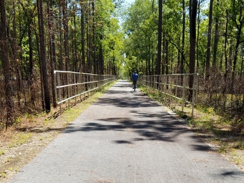 GF&A Trail - Affectionately referred to as the "Gopher,
Frog & Alligator Trail," the GF&A runs along the route of the former
Georgia, Florida & Alabama Railroad. Running through the Apalachicola
National Forest, only a 2.5 mile paved section has been completed - envisioned as part
of a 52-mile trail from Tallahassee to Sopchoppy.
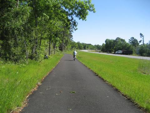
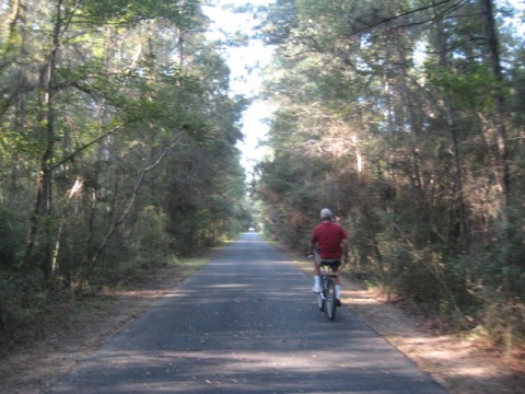
 Ochlockonee Bay Trail - There are two distinct
sections of this trail; (1) along side Surf Road from the tiny
town of Sopchoppy, southeast through a portion of the St. Marks National
Wildlife Refuge, to US 98 (about 10 miles), and (2) along side Mashes
Sands Road, Mash Island, east of US 98 to the Gulf (about 2.5 miles,
with a short on-road gap).
More Information and Resources
Nearby Biking:
FL Panhandle Region - More trails plus Regional Overview map
Nearby Paddling:
See Paddling in the Florida Panhandle at www.PaddleFlorida.net
Related Resources:
Find Trails by FL Region or Listed A - Z

100FloridaTrails.com... 100+ Florida Multi-use Bike Trails, Best for Safe, Fun Recreation and Fitness
Other Websites:
BikeOrlando.net
PaddleFlorida.net
BikeTripper.net
Copyright © 100FloridaTrails.com. All Rights Reserved.