100 Florida Trails®
Top FL Multi-use Bike Trails
Map Links & Photos Galore
Coast-to-Coast Updates
You are here > Home >
Trails >
Florida Panhandle >
Ochlockonee Bay Trail
Latest update: November 2024
Ochlockonee Bay Trail... FL Panhandle Biking
Part of the "Capital City to the Sea Trails" System
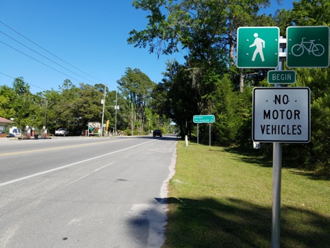
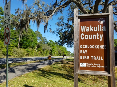
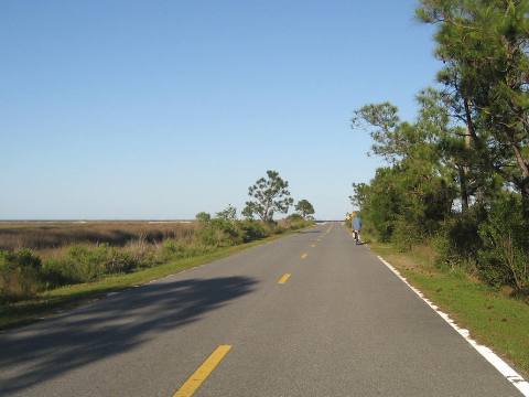
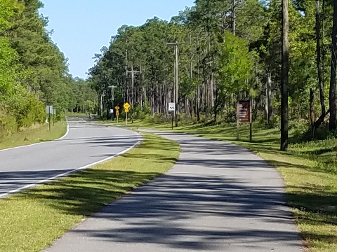
There are two distinct sections to the Ochlockonee Bay Trail: (1) From Sopchoppy FL, the trail is mostly alongside Surf Road running southeast through a forested section of the St. Marks National Wildlife Refuge to US Hwy 98 (about 10 miles). Then across US 98, (2) it becomes Mashes Sands Road, running a short distance on-road before the bridge onto Mashes Island. The trail resumes roadside to Mashes Sands Park and Boat Ramp, then ends at Mashes Sands Beach (about 2.5 miles). It's on-road for a short distance between the park and beach, but very little if any traffic at this point. (Map link and photos below.)
Location: Panacea (Wakulla County)
End Points: Sopchoppy to Mashes Sands Park
Mileage: 12.5 miles
Surface: Asphalt
Nearby points of interest: Sopchoppy Depot and
History Center, Bald Point State Park, Ochlockonee River State Park
Page Summary:
- Biking on the Ochlockonee Bay Trail
- Mash Island and Mashes Sands Park - 2.5 miles
- Sopchoppy to US Hwy 98 - 10 miles - Nearby Places of Interest
- More Information and Resources
Biking on the Ochlockonee Bay Trail... Comments and Photos
Sopchoppy to US Hwy 98 Trailhead - 10 miles
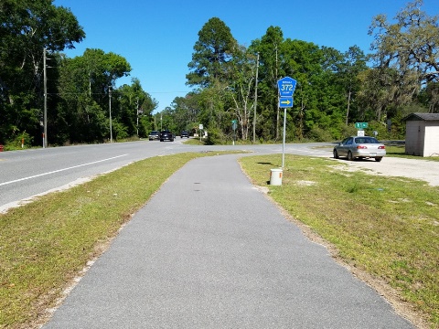
- Starting in "downtown" Sopchoppy along US 319 from Clermont Ave. near the historic Sopchoppy Depot (1891), the Ochlockonee Bay Trail runs roadside about 0.1 mile east to Surf Road (CR 372).
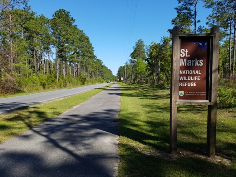
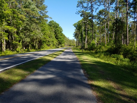
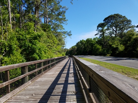
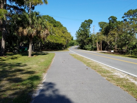
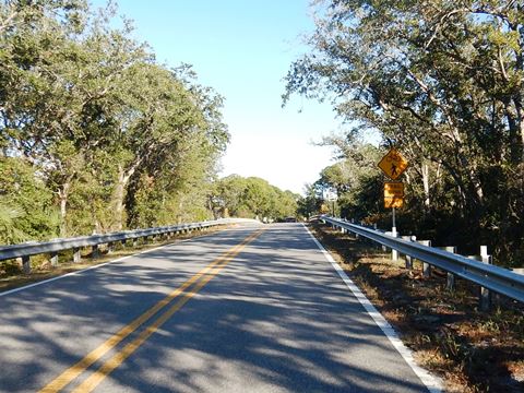
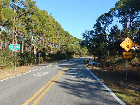
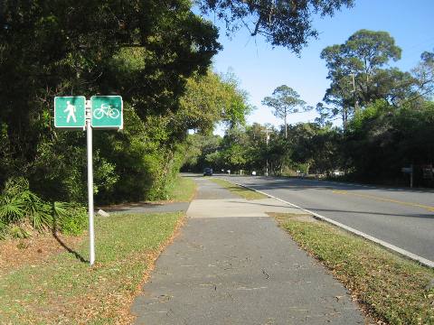
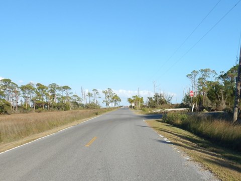
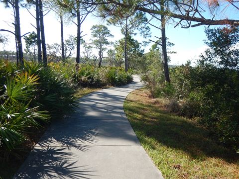
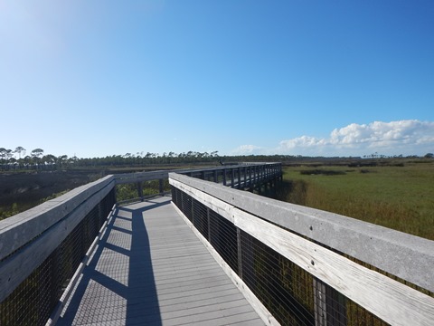
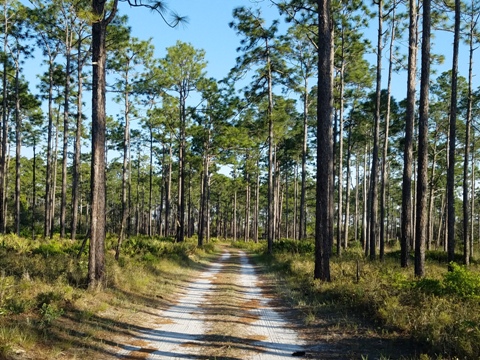
- Turning southeast on Surf Road, it soon enters a section of the St. Marks National Wildlife Refuge. Although closer to the roadway than we prefer, the traffic here is very light and the ride is mostly quiet and scenic, including some boardwalk.
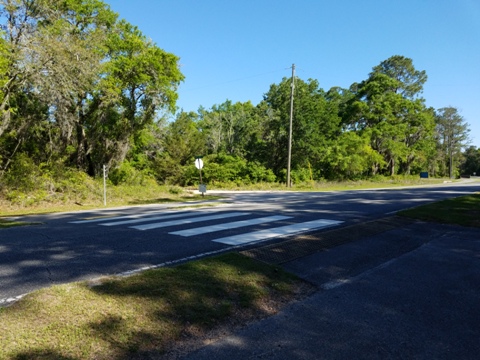
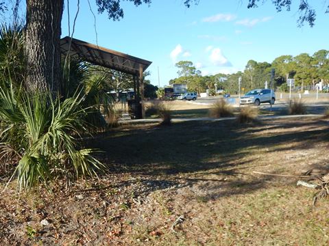
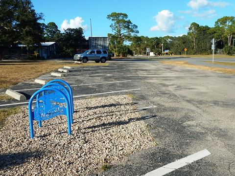
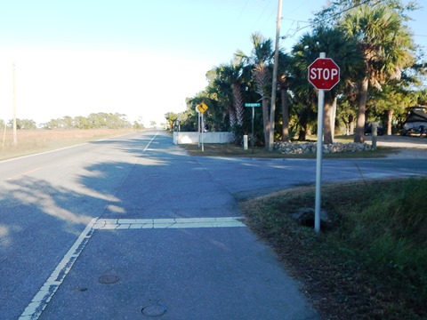
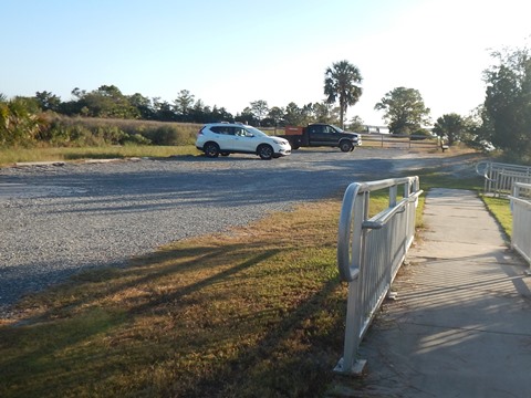
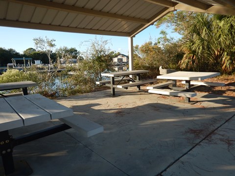
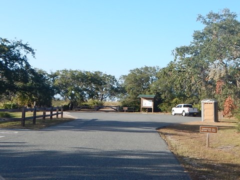
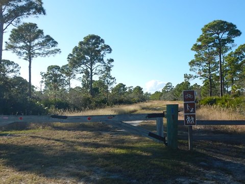
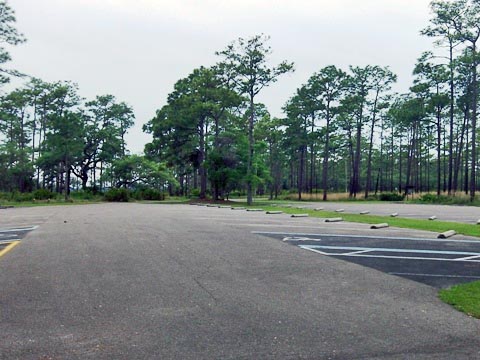
- At about 7 miles, the trail turns more eastward, parallel to Ochlockonee Bay, but with only an occasional glimpse of the water. The trail meets the Coastal Trail at the intersection of US 98, where a shared trailhead provides parking, picnic and portalet.
Mash Island and Mashes Sands Park and Beach - 2.5 miles
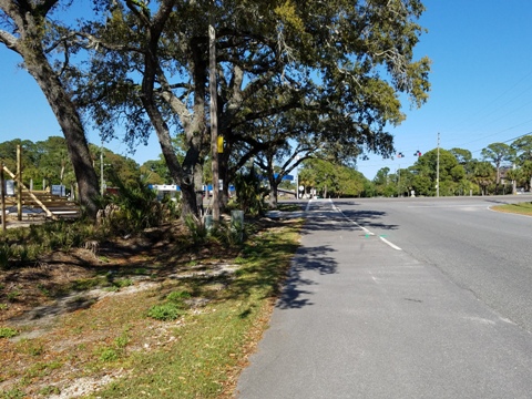
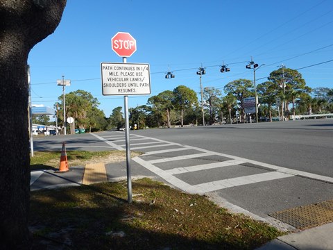
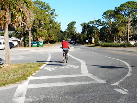
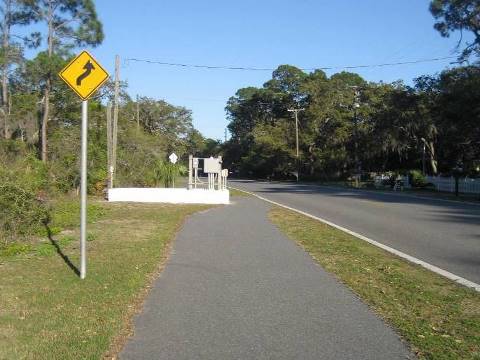
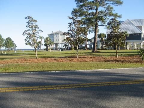
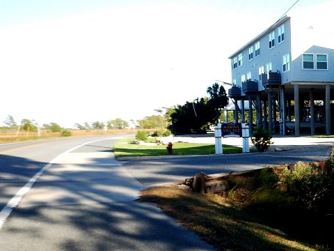
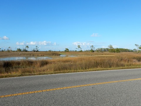
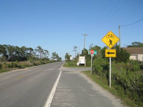
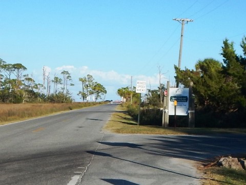
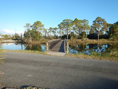
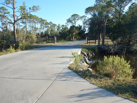
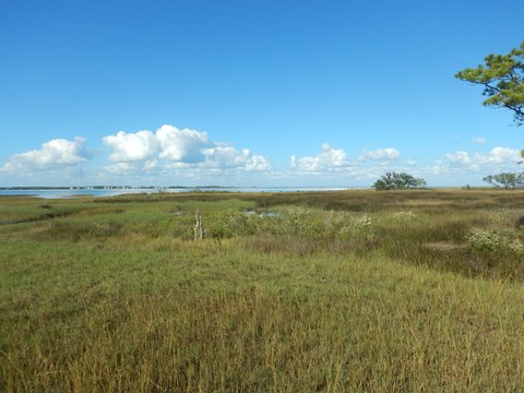
- After crossing US 98, the trail goes on-road a short distance to the Tide Creek bridge, becoming a roadside trail again over the bridge on Mash Island. The trail along Mashes Sands Road is scenic with marsh views on one side and homes with glimpses of the Bay on the other, a negative is that it's right along the roadway with little or no buffer.
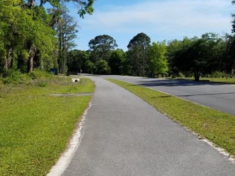
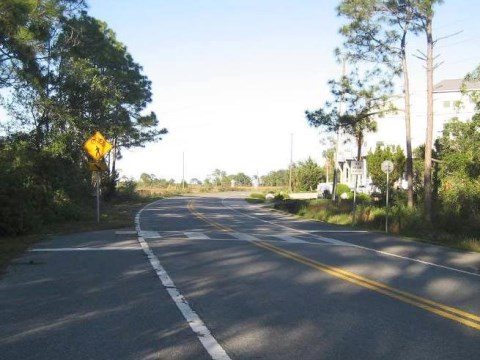
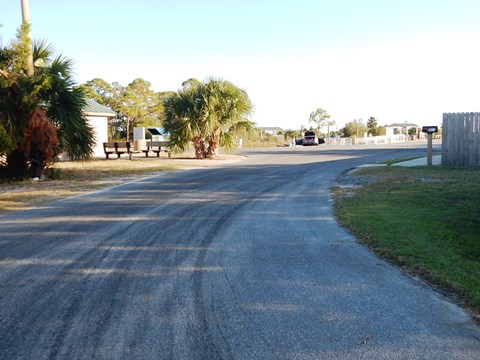
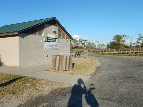
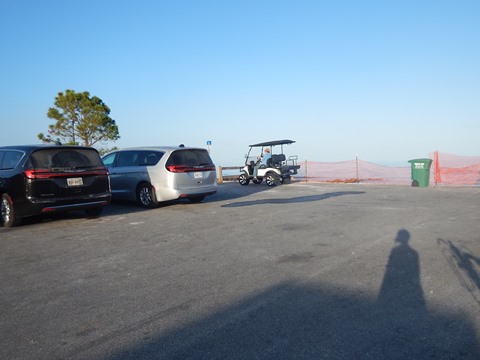
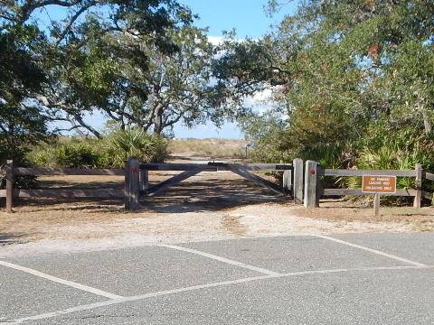
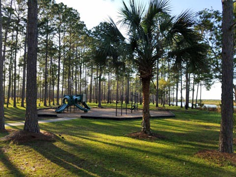
- Crossing the road, the trail runs as a wide bike lane, crossing several roads to housing along canals. The paved trail ends and shared road begins at the entrance to Mashes Sands Park where there's a large sandy lot with parking, restrooms and boat ramp (launch fee).
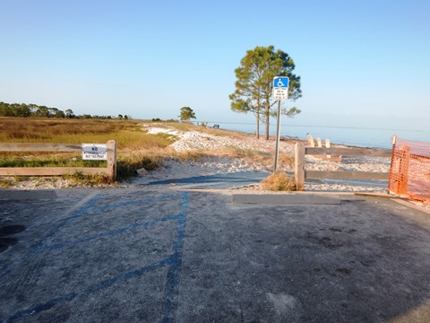
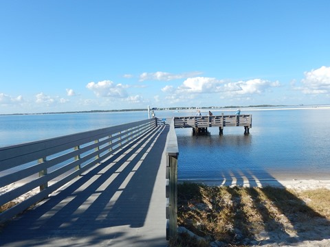
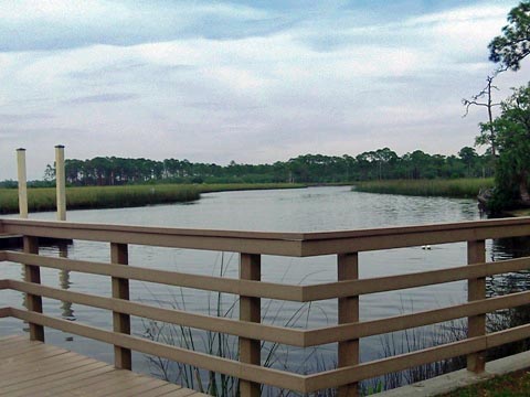
- A trailhead with parking, picnicking, and a fishing pier (currently closed for re-construction) can be accesssed via a boardwalk behind the restroom, or past the park along the road to another entrance.
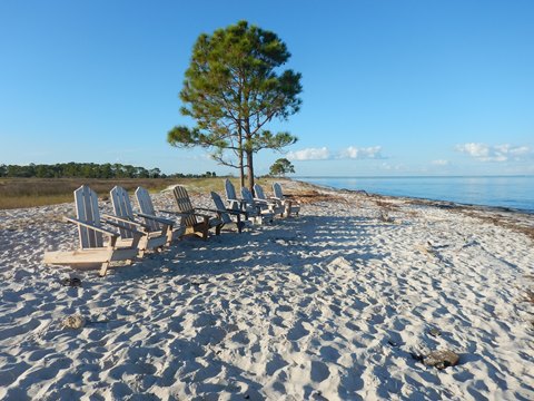
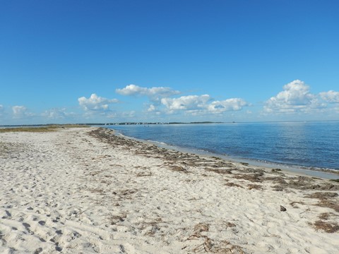
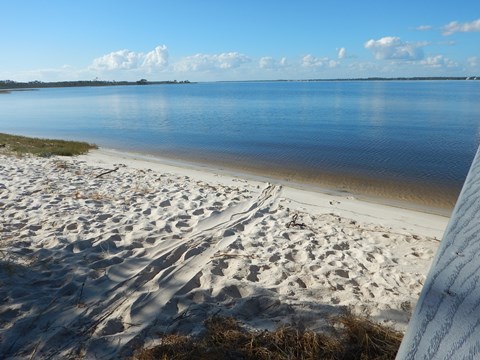
- Continue on the road to check out Mashes Sands Beach - a hidden gem we enjoyed with small parking area, portalet,
US 98 to Mashes Sands Park
Mashes Sands Park and Beach
Nearby Places of Interest
Bald Point State Park
Bald Point State Park, along Ochlockonee and Apalachee Bays, has parking, restrooms, picnic facilities, beaches, camping, hiking trails, fishing dock, paddling, birding. Biking on park roads and multi-use trails. Park fee applies.
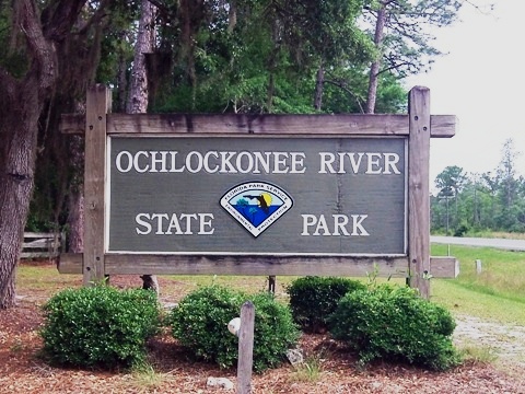
Ochlockonee River State Park
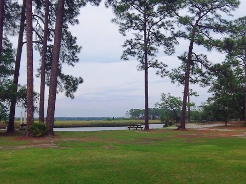
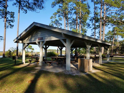
Ochlockonee River State Park has parking, restrooms, picnic, playground, hiking trails, boat ramp, swimming, fishing, camping. Biking (rentals available) allowed on park drives, and multi-use trails. Park fee applies.
More Information and Resources
Nearby Biking:
Coastal Trail
Capital City to the Sea Trails - an evolving Regional Trails System
FL Panhandle Region -
More trails plus Regional Overview map
Nearby Paddling:
Ochlockonee River
Related Resources:
Find Trails by FL Region or Listed A - Z

100FloridaTrails.com... 100+ Florida Multi-use Bike Trails, Best for Safe, Fun Recreation and Fitness
Other Websites:
BikeOrlando.net
PaddleFlorida.net
BikeTripper.net
Copyright © 100FloridaTrails.com. All Rights Reserved.
