100 Florida Trails®
Top FL Multi-use Bike Trails
Map Links & Photos Galore
Coast-to-Coast Updates
You are here > Home >
Trails >
West Florida >
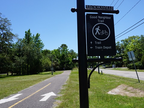
Good Neighbor Trail
Latest update: June 2024
Good Neighbor Trail... West Florida
Bike Trail is Part of the FL Coast-to-Coast Trail
The Good Neighbor Trail, part of the Florida Coast-to-Coast Trail, runs 13 miles at Brooksville. Starting from near the intersection of SR 50 and Cobb Rd. (where it meets the connector along Cortez Blvd. to the Suncoast Trail), the trail runs through Brooksville along a former Florida Southern Railroad narrow gauge railway line to the Withlacoochee State Forest and a link to the Withlacoochee State Trail. (Map link and photos below.)
Location: Hernando County (Brooksville)
End Points: SR 50 at Cobb Rd. to Withlacoochee
State Trail
Mileage: 13 miles
Surface: Asphalt
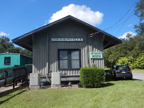
Nearby points of interest: Weeki Wachee, 1885
Brooksville Rail Depot Museum
Bike Shops/Rentals:
Brooksville Bicycle Center
(Brooksville; sales, service)
Crank Works
(Brooksville; sales. service)
Trek Spring Hill
(Brooksville; sales, service)
Page Summary:
- Biking the Good Neighbor Trail
- SR 50 to Russell St. (3 miles)
- Tom Varn Park - Russell St. to Withlacoochee State Forest (6 miles)
- Brooksville Trailhead, 1885 Brooksville Rail Depot Museum
- Brooksville Trailhead to Weatherly Rd.
- Weatherly Rd. to Withlacoochee State Forest - Through the Withlacoochee State Forest (4 miles)
- Connect to Withlacoochee State Trail - More Information and Resources
Biking the Good Neighbor Trail... Comments and Photos
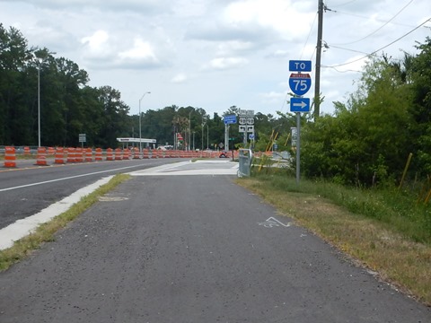
Brooksville, founded in 1856 and county seat of Hernando County, is one of six Trail Towns along the Florida Coast-to-Coast Trail (C2C). The Good Neighbor Trail runs through three city parks and Downtown Brooksville with welcome amenities for trail users, and the city is working to enhance these resources. The gap connecting to the Suncoast Trail was completed in May 2024 - a short but important link on the C2C.
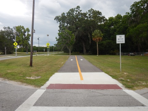
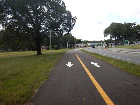
SR 50/Cobb Rd. to Russell St. (3 miles)
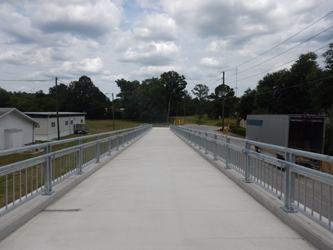
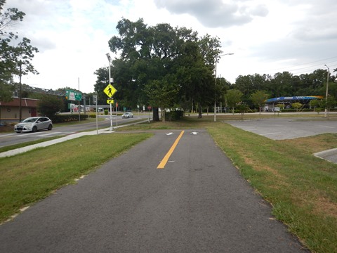
This is the newest section of the trail, filling the gap on the C2C to the Suncoast Trail.
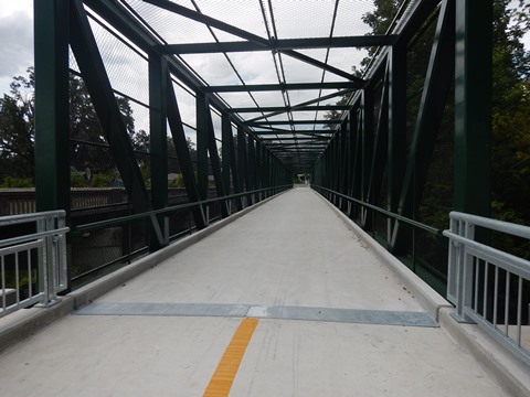
SR 50/Cobb Rd. to Tom Varn Park
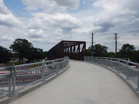
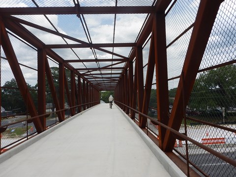
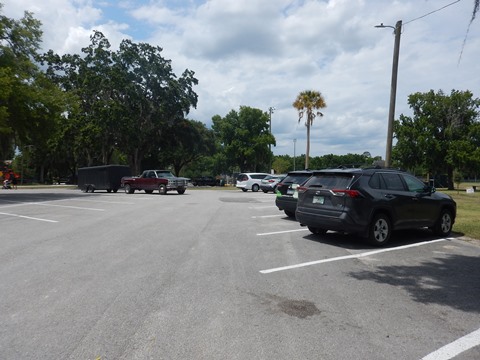
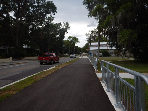
Continuing seamlessly from the Suncoast Trail connector along Cortez Blvd.(link below), the Good Neighbor Trail starts with a new bike/pedestrian bridge crossing Cortez Blvd., then loops over to W. Jefferson St. (SR 50A) and continues roadside to Darby Lane (about 1 mile). Here it turns off the road and runs through Tom Varn Park. Tom Varn Park has parking, restrooms, picnicking, playing fields, and playground.
Tom Varn Park to Russell St.
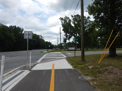
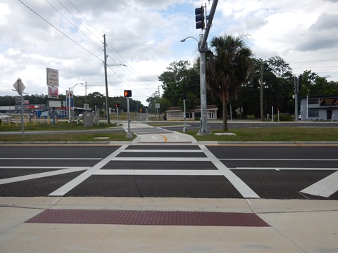
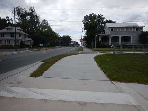
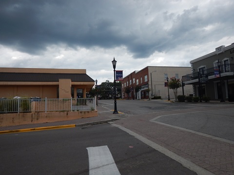
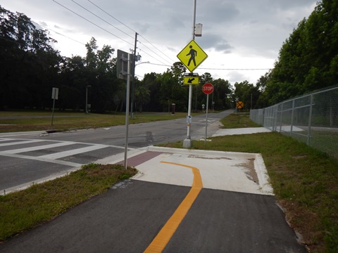
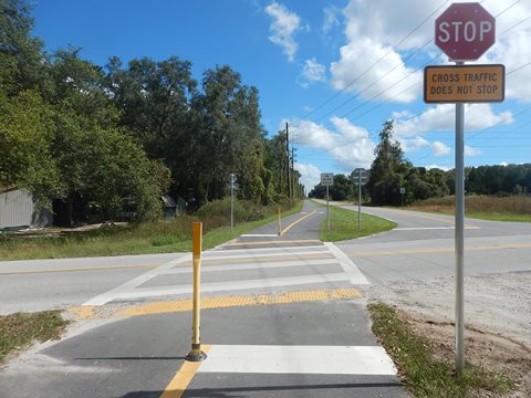
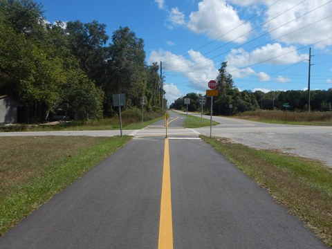
The trail passes the Quarry Disc Golf Course and arrives at Bud McKetchan Park (parking, restroom, picnicking, playground). Cross Veterans Rd. and proceed to Fridy Place, continuing on the trail to Ponce DeLeon Blvd. Cross Ponce de Leon very carefully, using the crossing signals, then the trail runs alongside S. Broad St. to S. Bailey Ave. In this section, the trail crosses S. Broad St. (be careful), and a bridge over a railroad track. Follow S. Bailey to W. Liberty St. to S. Main St., then follow Main St. to Russell St. Cross S. Main to enter Russell Street Park.
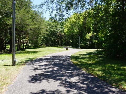
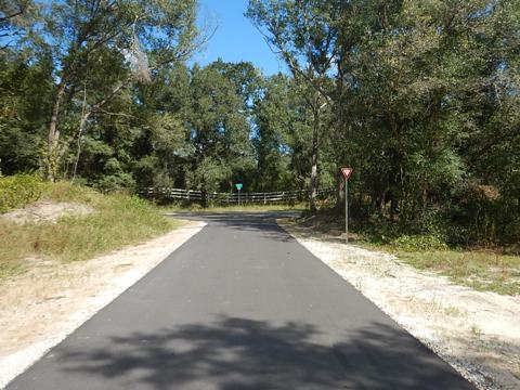
Russell St. to Withlacoochee State Forest (6 miles)
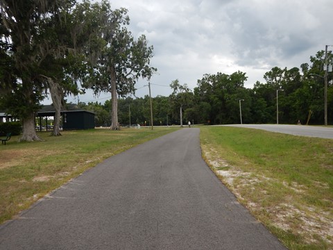
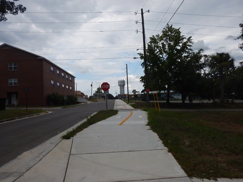
Russell St. to Brooksville Trailhead
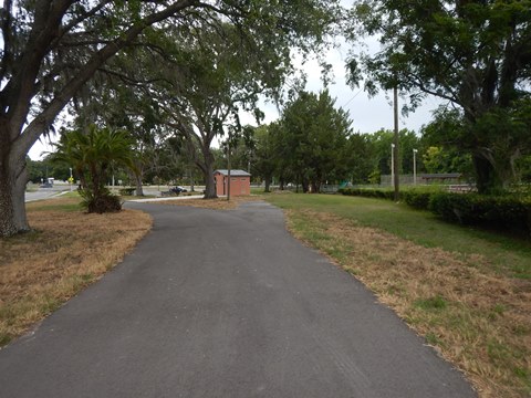
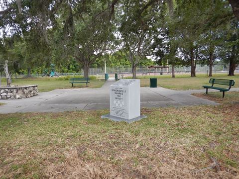
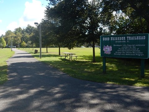
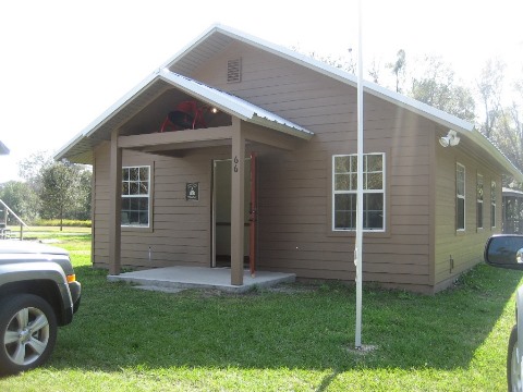
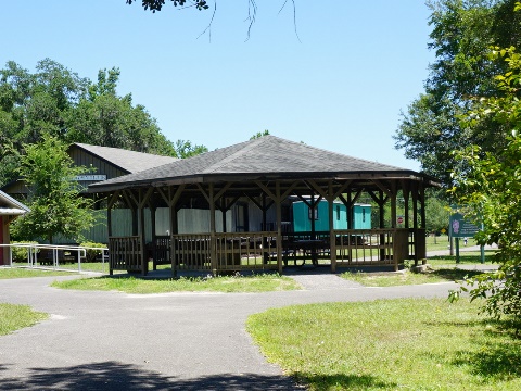
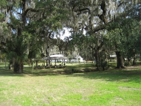
The original start of the trail is at the intersection of Russell and Main Sts. This section runs 2/10 mile west through Russell Street Park to the Brooksville Trailhead. The trailhead has parking, restrooms, picnic tables, a gazebo, and historic exhibits - the 1885 Train Station and the One Room School House. Plans are to relocate other buildings to the site, creating a historic village.
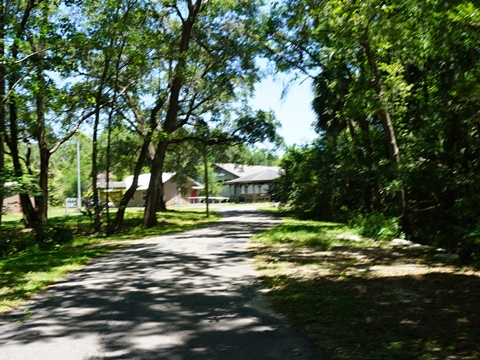

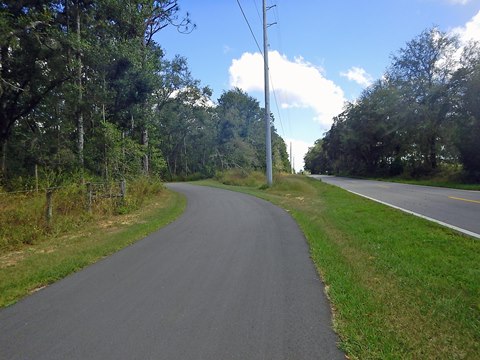
Brooksville Trailhead to Weatherly Road
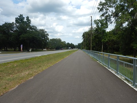
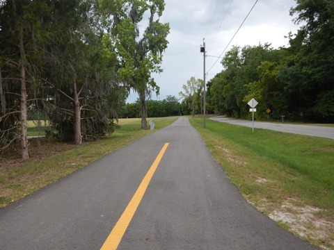
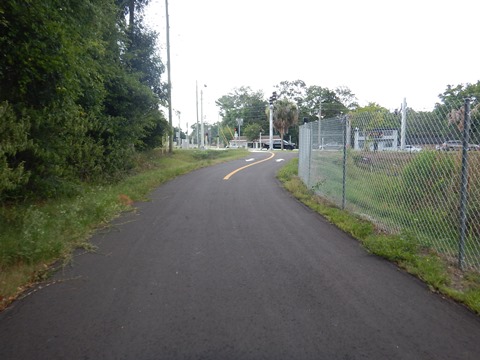
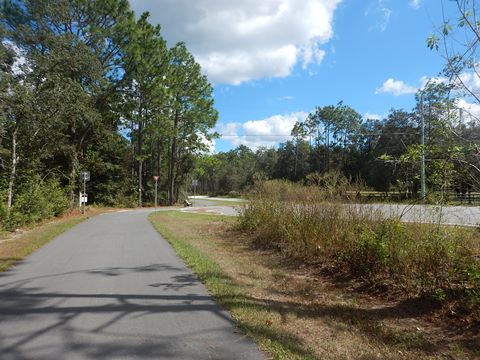
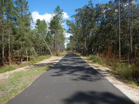
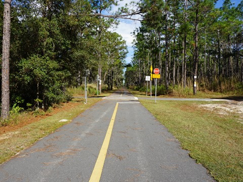
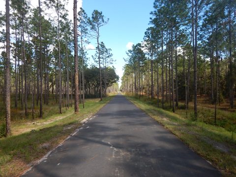
From the Trailhead, the trail continues eastbound from Brooksville, the road crossings at Jefferson St. and Mondon Hill Rd. being the busiest - be very careful. The trail is wooded and mostly away from roads with a few crossings. Past Mondon Hill Road is a power line corridor, and then a fenced-off area past a gun club. The trail emerges from the woods to run parallel to Richbarn Rd. to Weatherly Rd.
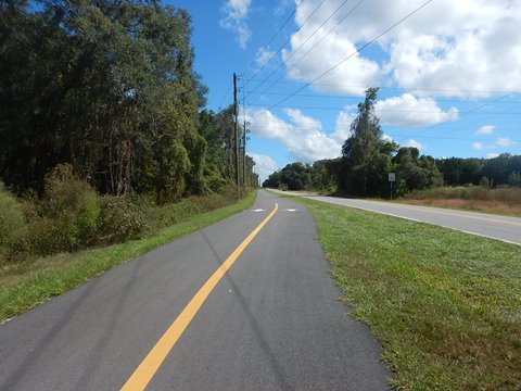
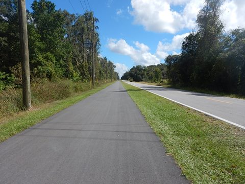
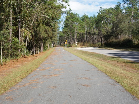

Weatherly Road to Withlacoochee State Forest
The trail runs east from Weatherly Road along Richbarn Road, roadside in sections and with a wooded buffer in others. This section is rural with some road crossings and driveways at private residences. It includes some moderate grades.
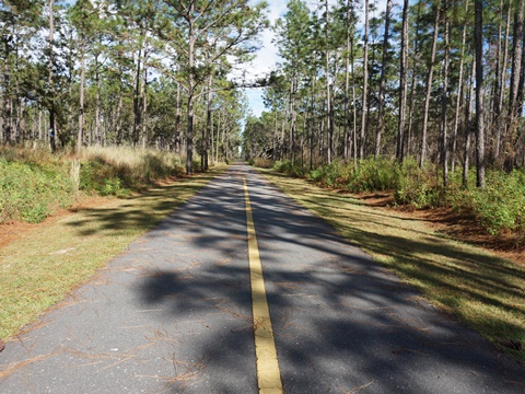


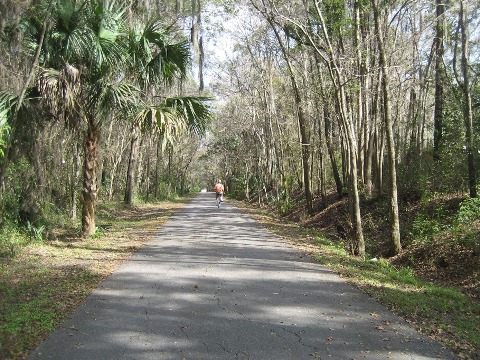
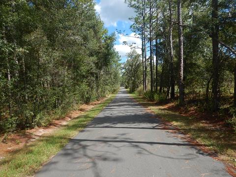
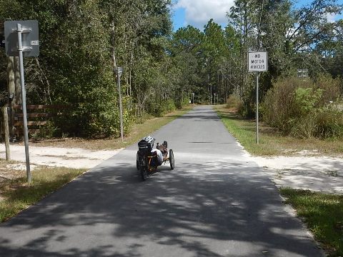
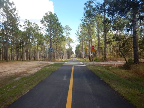
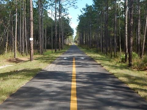
Through the Withlacoochee State Forest (4 miles)
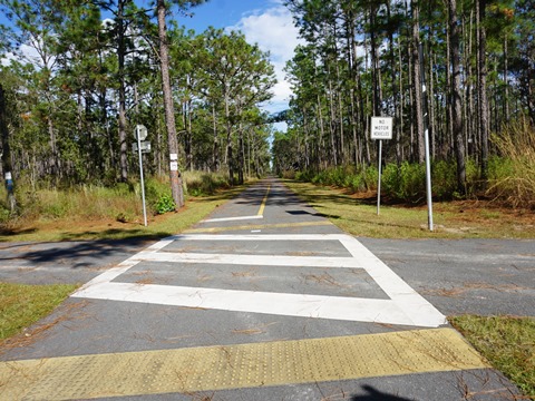
Through Withlacoochee State Forest (Croom Tract) the trail is very remote - straight and with only moderate grades, great for long-distance bikers. Bring water. A couple of forest roads cross in this area, as well as the Florida National Scenic Trail. The Good Neighbor Trail ends at a "T" where it meets the Withlacoochee State Trail.


More Information and Resources
Nearby Biking:
Suncoast Trail
Good Neighbor-Suncoast Connector
Withlacoochee State Trail
West FL Region - More trails
plus Regional Overview map
This trail is part of the Florida Coast-To-Coast Trail
Watch a Video:
Riding the Good Neighbor Trail and 5 Miles on the Withlacoochee Trail with our friend Dave at Phonamana
Related Resources:
City of Brooksville - Good Neighbor Trail
City of Brooksville - Good Neighbor Trail Brochure
Find Trails by FL Region or Listed A - Z

100FloridaTrails.com... 100+ Florida Multi-use Bike Trails, Best for Safe, Fun Recreation and Fitness
Other Websites:
BikeOrlando.net
PaddleFlorida.net
BikeTripper.net
Copyright © 100FloridaTrails.com. All Rights Reserved.