100 Florida Trails®
Top FL Multi-use Bike Trails
Map Links & Photos Galore
Coast-to-Coast Updates
You are here > Home >
Trails >
West Florida >
Suncoast Trail
Latest update: January 2024
Suncoast Trail... West Florida Biking
55 Miles and Growing, a Key Link in the FL Coast-to-Coast Trail
The Suncoast Trail parallels the Suncoast Parkway (FL 589) for about 55 miles from Lutz Farm Road in Hillsborough County, through Pasco and Hernando Counties, to its current end at FL 44 in Citrus County. An extension is under construction adding 3 miles to CR 486, to be followed by a planned 10 mile extension to US 19. The middle section of the Suncoast Trail also serves as part of the FL Coast-to-Coast Trail. (Map link and photos below.)
Location: Hillsborough, Pasco, Hernando, Citrus Counties
End Points: From Lutz Lake Fern Road in Hillsborough County
to SR 44 in Citrus County
Mileage: 55 miles, more planned
Surface: Asphalt
Trailheads: Lutz Lake Fern Road, SR54,
Crews Lake Park, Anderson Snow Park, SR 50, US 98, Cardinal Rd., SR
44
Nearby points of interest: Jay B. Starkey Wilderness Park,
Weeki Wachee Springs State Park, Chassahowitzka Wildlife Management
Area
Bike Shops/Rentals:
Trek Land O'Lakes (sales, service) (formerly Suncoast Trailside Bicycles)
Page Summary:
- Biking at Suncoast Trail
- South Section (7 miles)
- Lutz Lake Fern Trailhead, SR 54 Trailhead, Starkey Wilderness Trail link - Middle Section - FL Coast-to-Coast Trail (23 miles)
- Crews Lake Wilderness Park Trailhead, Anderson Snow Park Trailhead, SR 50 Trailhead - North Section (25 miles)
- US 98 Trailhead, Cardinal St. Trailhead, SR 44 Trailhead - More Information and Resources
Biking at Suncoast Trail... Comments and Photos
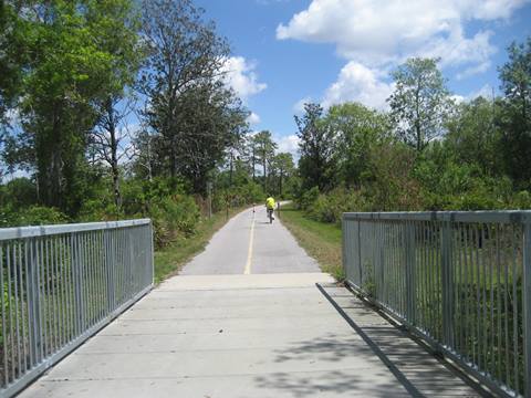
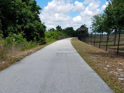
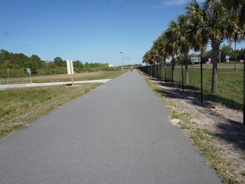
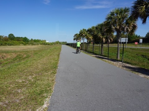
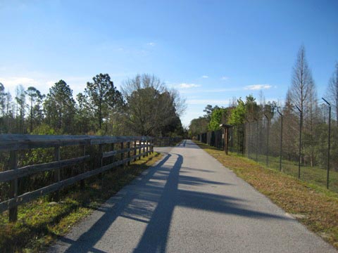
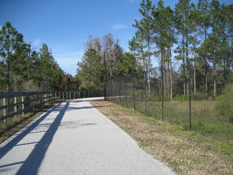
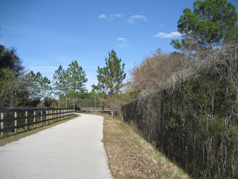
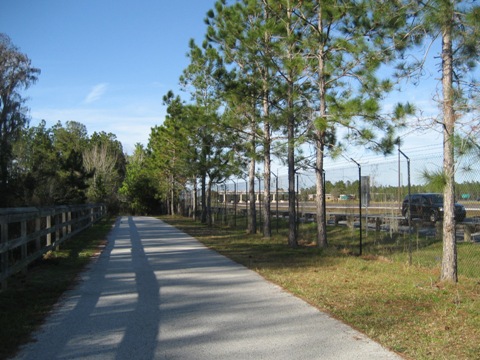
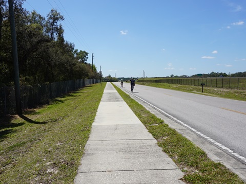
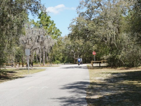
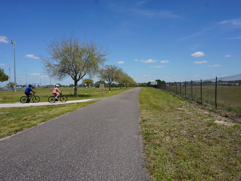
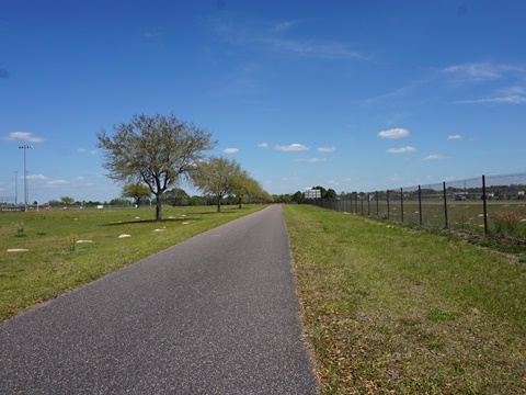
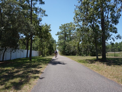
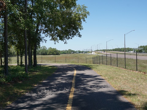
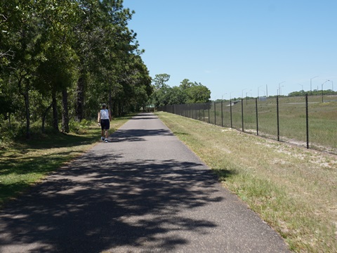
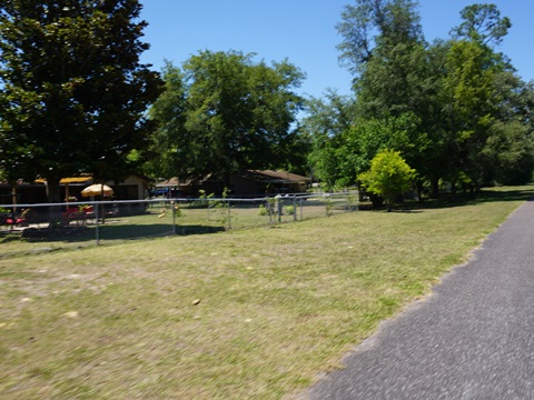
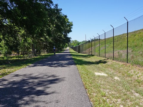
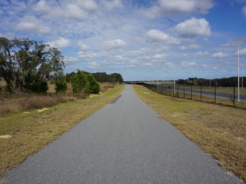
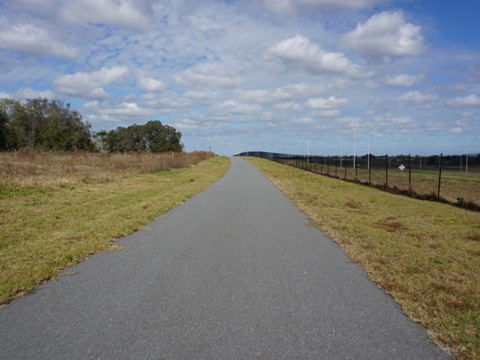
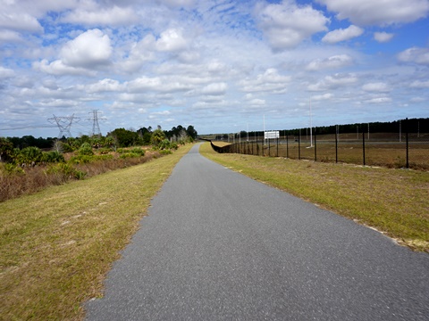
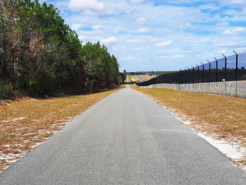
Most stretches are close to the Parkway with much road noise, but the trail's long, smooth straightaways are especially popular with road bikers looking for speed. Although paralleling the Parkway, it's fairly well buffered to the west with wooded sections and more shade (depending on time of day), especially through the Starkey Wilderness Area (south) and Chassahowitzka Wildlife Management Area (north). Benches are provided along the way, but few facilities are nearby (check at trailheads and intersections), bring sunscreen, water, snacks.
We visit the trail from South to North
South Section - Lutz Lake Fern Trailhead to Starkey Wilderness Trail (7 miles)
Lutz Lake Fern Trailhead to Suncoast Trail
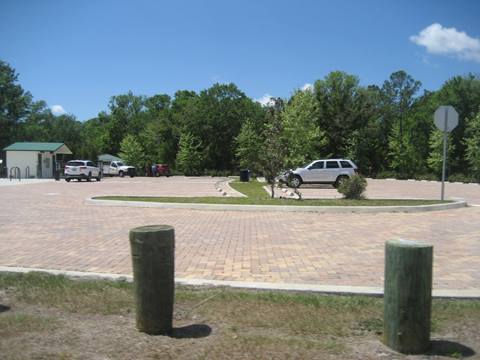
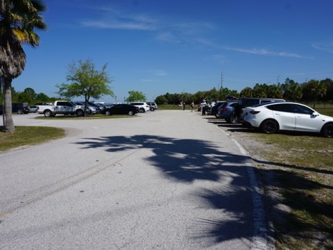
At the south, Lutz Lake Fern Trailhead (parking, restrooms, water, picnic, fix-it station; parking fee) is shared by the Upper Tampa Bay Trail and Suncoast Trail. From the trailhead, continue on the Upper Tampa Bay Trail about 1.25 miles to the juncture with the Suncoast Parkway.
SR 54 Trailhead
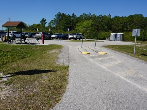
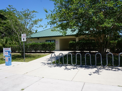
The SR 54 trailhead is about 2.5 miles from start of the Suncoast Trail. The trailhead has parking, picnic tables, fix-it station and porta-potties. Conveniently located across SR 54 is a shopping center with a Trek Bikes shop (formerly Suncoast Trailside Bicycles), food and beverage. Parking fee.
Trail at Starkey Wilderness Trail
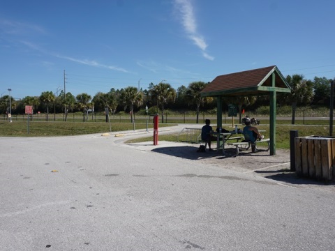
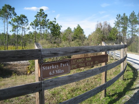
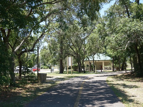
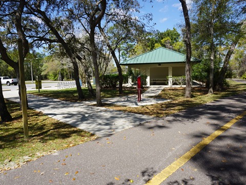
The Starkey Wilderness Trail meets the Suncoast Trail at about 7 miles - go about 400 feet along the Starkey Wilderness Trail to a welcome rest station with restrooms and covered picnic area. The Suncoast Trail here borders Starkey Wilderness Area to the west, but fairly close to the Suncoast Parkway to the east with a wider buffer in sections.
Middle Section - FL Coast-to-Coast Trail (23 miles)
From the juncture at Starkey Wilderness Trail, the trail is part of the Florida Coast-to-Coast Trail until it reaches SR 50, where it will eventually connect (under construction) to the Good Neighbor Trail in Brooksville.
Starkey Wilderness Trail to Crews Lake Wilderness Park
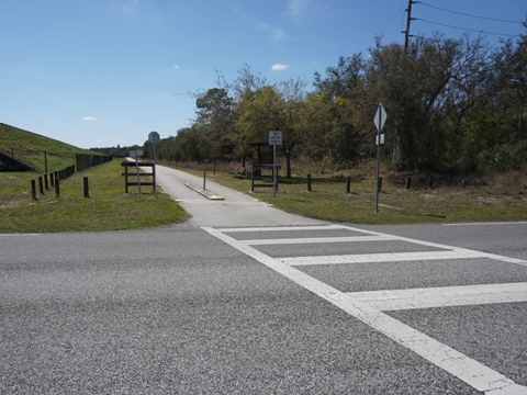
From the juncture with Starkey Wilderness Trail the trail continues alongside Suncoast Parkway to the east and Starkey Wilderness Area to the west. After crossing SR 52, it continues past commercial and residential areas, with a wide buffer, to Shady Hills Rd. at about mile 15.5. Here, a connector runs under the Suncoast Parkway along Shady Hill and Lenway Roads to Crews Lake Wilderness Park and trailhead (about 1 mile).
Crews Lake Wilderness Park Trailhead
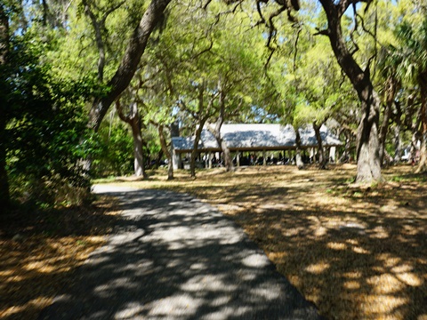
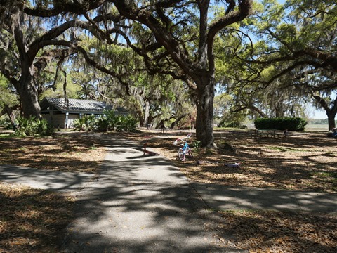
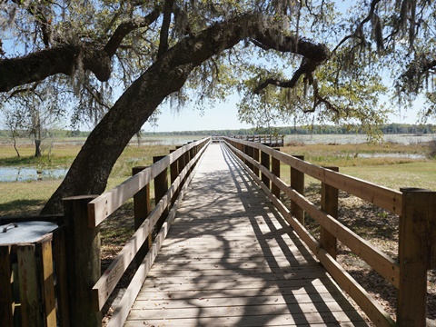
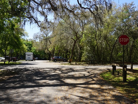
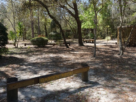
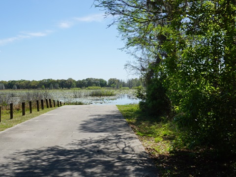
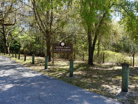
Crews Lake Wilderness Park in Spring Hill is a gem. The 113-acre park has parking, restrooms, picnicking, playground, multi-use and nature trails, boardwalk, botanical garden, amphitheater, camping, fishing, canoe/kayak launch, playing fields. A pleasant paved bike path loop winds off the main park road past picnic areas and along the lake to the boardwalk. A notable feature is the Central Pasco & Gulf Railroad, a mini-scaled train offering free rides (donation requested) on the second Saturday of each month. No parking fee, but some facilities may require reservations and payment for groups or events.
Anderson Snow Park Trailhead
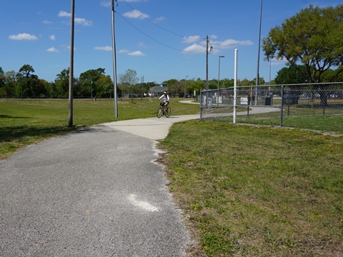
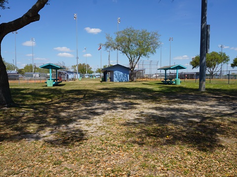
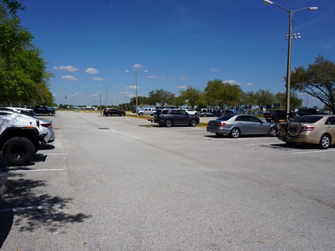
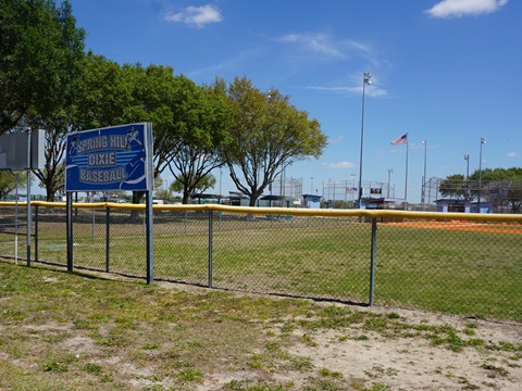
Anderson Snow Park is located at about mile 23 along the trail, a short path (2/10 mile) links to parking and facilities. The park is a major area sports complex for softball and soccer. It also has parking, restrooms, picnicking, playground, and concession. Parking fee.
Anderson Snow Park to SR 50 Trailhead
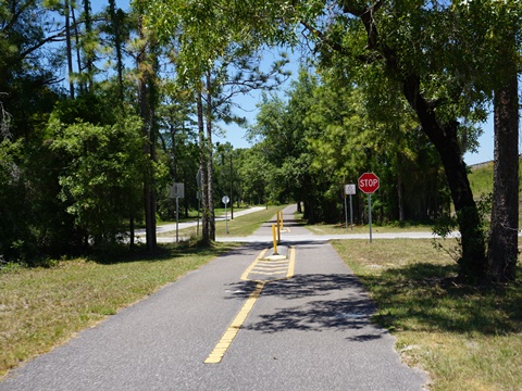
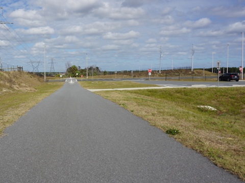
The trail leaving Anderson Snow Park runs past residential communities and business areas with several road crossings that provide access to food, drink and other amenities. As it approaches the SR 50 Trailhead, some hills start to appear and more wooded to the west.
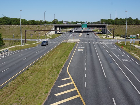
SR 50 Trailhead and Overpass
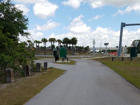
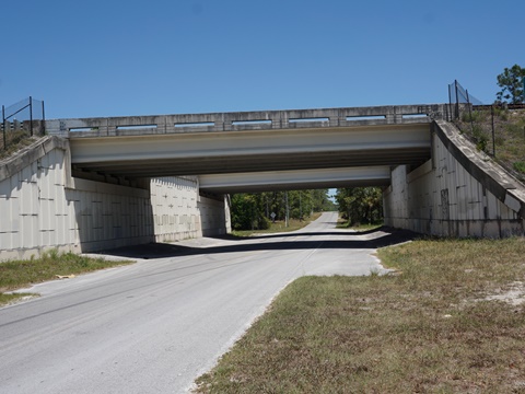
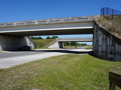
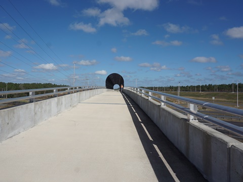
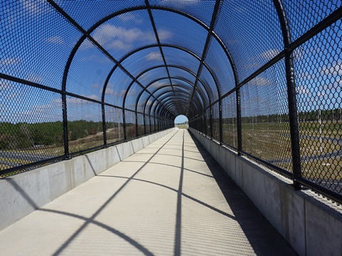
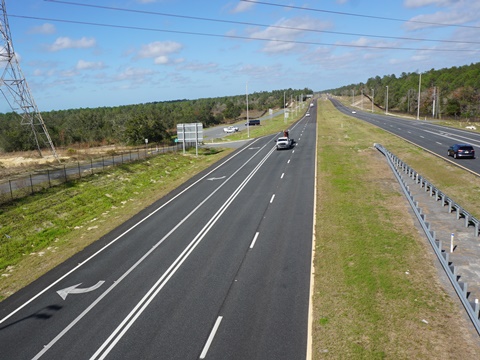
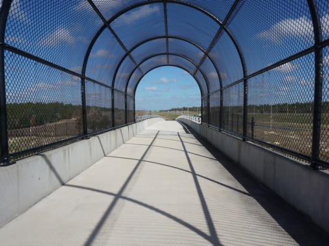
The SR 50 Trailhead at mile 29.5 has parking, restroom, picnic, fix-it station. Parking fee applies. An overpass goes over SR 50 just past the trailhead. Food and beverage are available along SR 50 to the west.
This ends the portion of the Florida Coast-to-Coast Trail running on the Suncoast Trail. Just before going over the bridge, a path splits off to the right leading to the Good Neighbor Connector along SR 50 - the Connector then runs 4.5 miles eastbound to Cobb Road in Brooksville, and eventually will link to the Good Neighbor Trail at Russell St. near the Brooksville Trailhead.
North Section - SR 50 to SR 44 (25 miles)
SR 50 Overpass to US 98 Trailhead
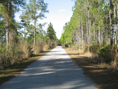
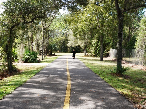
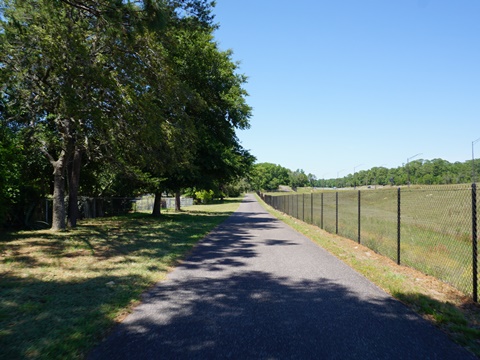
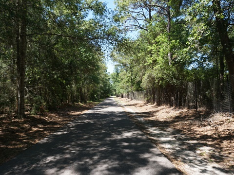
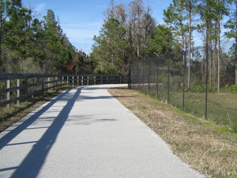
From SR 50 north is a pleasant ride. The trail is further away from the roadway in most sections, is quieter, and includes some rolling hills and shade. There's some residential development to the west, but well buffered from the trail. Few crossroads so little access to food, drink or other amenities.
US 98 Trailhead and Overpass
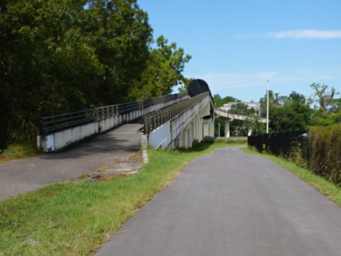
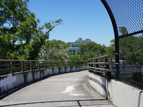
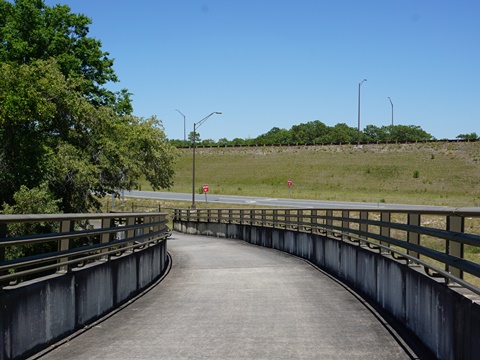
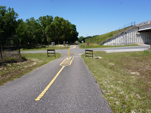
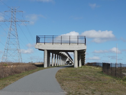
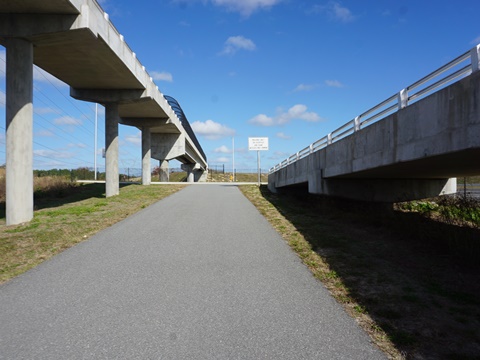
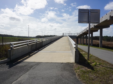
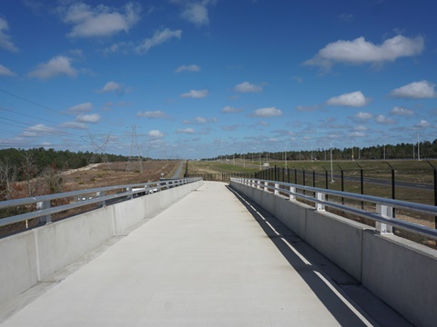
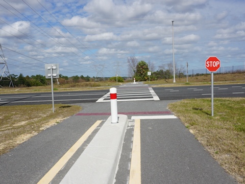
The trail approaching US 98 comes to the ramp to the overpass. A spur to the left goes to the trailhead, or go right up the ramp to the overpass.
To the Trailhead
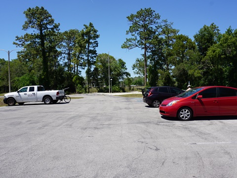
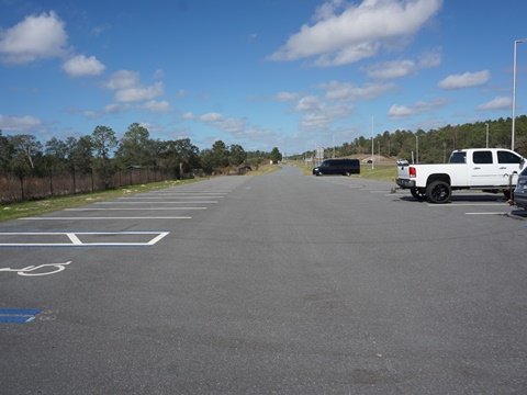
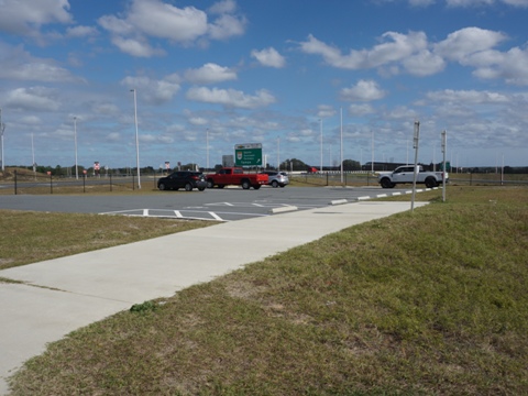
The spur to the trailhead is about 1/10 mile. The trailhead has parking only, but also an entrance to the Chassahowitzka Wildlife Management Area for hiking and hunting.
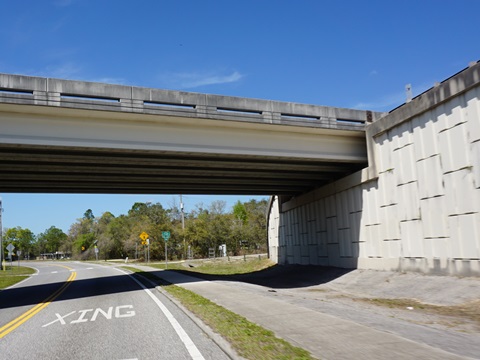
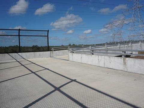
US 98 Overpass
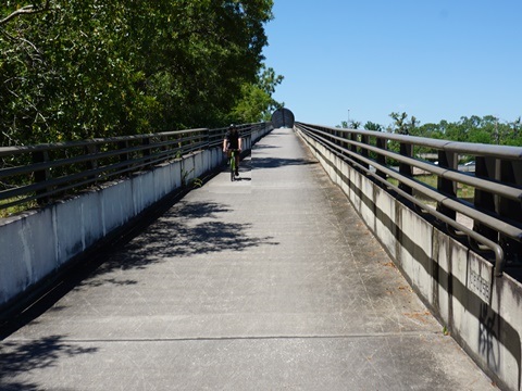
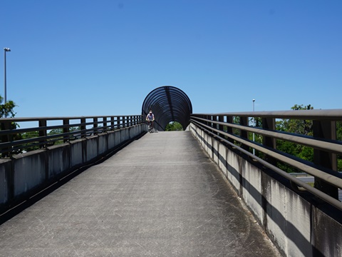
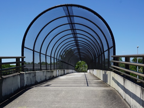
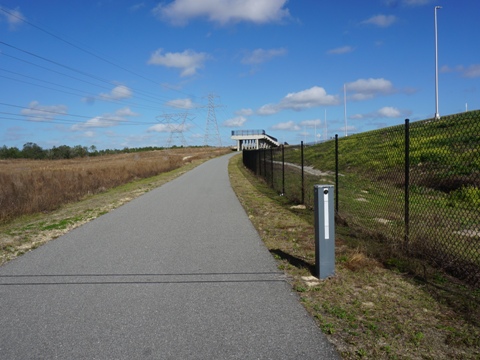
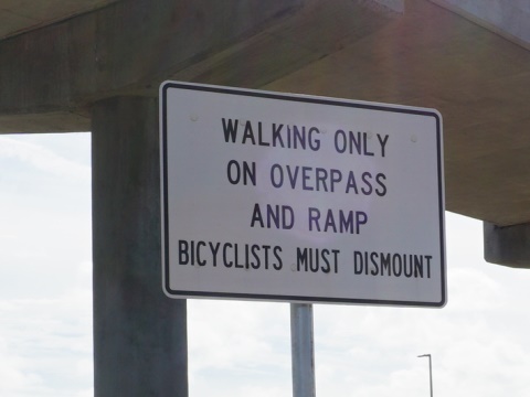
The ramp loops to the overpass. Signs ask that bikers dismount and walk - some walked up the ramp, but none that we saw walked across the overpass.
US 98 Trailhead to SR 44 Trailhead
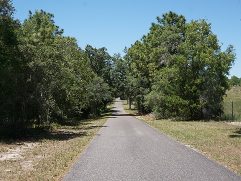
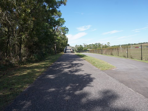
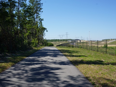
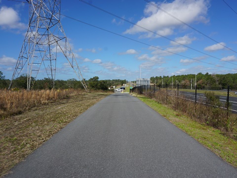
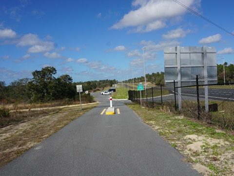
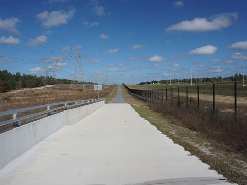
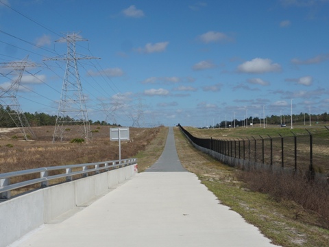
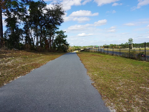
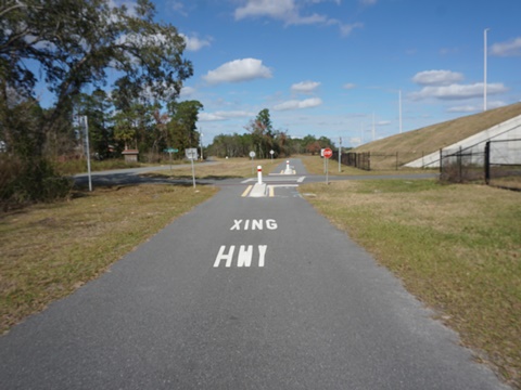
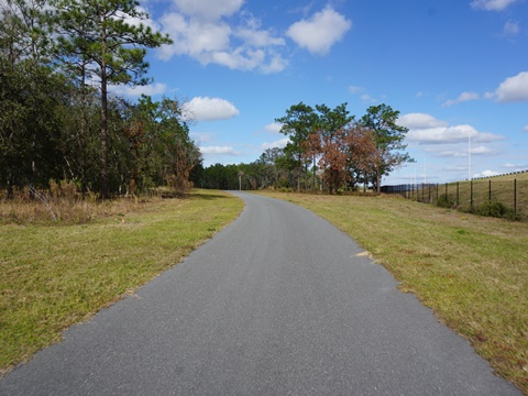
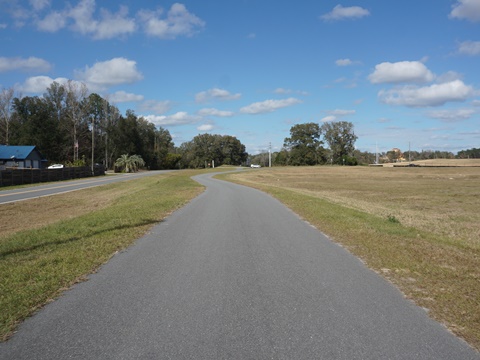
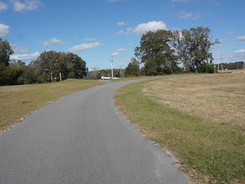
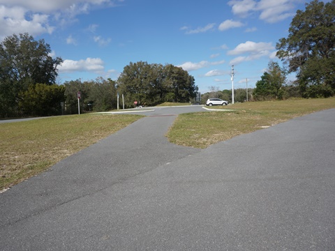
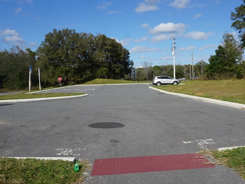
Past the US 98 trailhead the trail continues similar to the previous sections, with one difference - the hills are longer and steeper. With just a few road crossings, this is popular with road bikers. To Cardinal Rd., the trail runs between the Parkway and a powerline with wide buffers but no shade. The Cardinal Rd. Trailhead is parking only. At about 2.5 miles past Cardinal Rd., the trail turns more westerly and runs through an undeveloped (so far) area with a treeline providing some afternoon shade. Approaching the SR 44 Trailhead, the trail emerges roadside along Tipton Terrace.
US 98 Trailhead to Cardinal Rd. Trailhead
Cardinal Rd. to SR 44
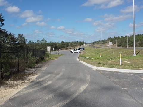
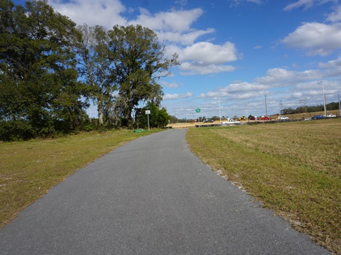
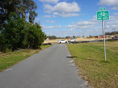
Trail at SR 44 - Temporary Trail End
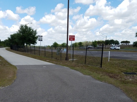
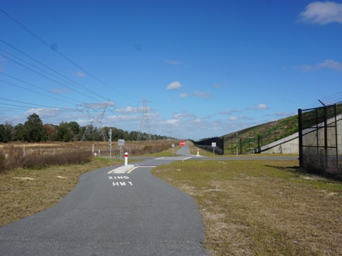
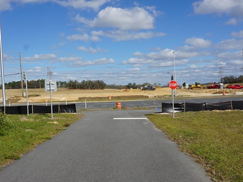
The SR 44 Trailhead has parking only at this time. Continuing past the spur to the trailhead, the trail ends at SR 44, where construction is underway on the northbound extension of the parkway and trail.
More Information and Resources
Nearby Biking:
Starkey Wilderness Trail
Good Neighbor Trail
Good
Neighbor Connector
West FL Region - More trails
plus Regional Overview map
The south section of the Suncoast Trail serves as part of the FL Coast-to-Coast Trail
Related Resources:
Find Trails by FL Region or Listed A - Z

100FloridaTrails.com... 100+ Florida Multi-use Bike Trails, Best for Safe, Fun Recreation and Fitness
Other Websites:
BikeOrlando.net
PaddleFlorida.net
BikeTripper.net
Copyright © 100FloridaTrails.com. All Rights Reserved.
