100 Florida Trails®
Top FL Multi-use Bike Trails
Map Links & Photos Galore
Coast-to-Coast Updates
You are here >
Home >
South FL-West >
North Port Connector
Latest update: March 2026
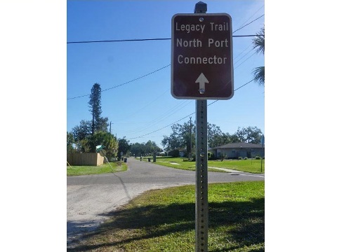
North Port Connector... Legacy Trail to North Port
Connector between Venice and North Port, FL
The North Port Connector provides a link between the Legacy Trail and North Port as part of an evolving regional trail system. Portions of the Connector run more as a bike route than a trail - a mixture of bike lanes, sidewalk, sharrow, and shared-use trail. Additional unpaved "connectors" at T. Mabry Carlton Jr. Memorial Reserve ("Carlton Reserve") and Deer Prairie Creek Preserve add to the ride and provide alternate links through natural areas. (Map link and photos below.)
Location: Sarasota County
End Points: Nokomis Riverview Park (Venice)
to Price Trailhead (North Port)
Mileage: 14 miles (shared-use trail, bike lane,
sharrow, sidewalk); unpaved at Carleton Reserve (about 9.5 miles) and Deer
Prairie Creek Preserve (about 3.75 miles). Connects to the Legacy Trail
(18.5 miles).
Surface: Asphalt and concrete, 8-14 feet; roadway, gravel
Trailheads: Deer Prairie Creek Preserve North,
Carlton Reserve, Deer Prairie Creek South, Price Trailhead
(See map)
Nearby points of interest: Historic Venice
Train Depot, Oscar Scherer State Park
Bike Shops/Rentals:
Louie's Bicycle Shop (North Port; sales, service)
Bicycles International
(Venice; rentals, sales, service)
Real Bikes
(Venice; rentals, sales, service)
Support and Advocacy:
Friends of
the Legacy Trail
Friends of
the Carlton Reserve
Friends of Sarasota County Parks
Page Summary:
- Biking the North Port Connector
- Nokomis Riverside Park to Deer Prairie Creek
Preserve (8.5 Miles)
- Nokomis Riverside Park, Carlton Reserve, Deer Prairie Creek Preserve - Deer Prairie Creek Preserve to Price Trailhead (5.5 miles)
- Unpaved Park Connectors
- Carlton Reserve, Deer Prairie Creek Preserve - More Information and Resources
Biking the North Port Connector... Comments and Photos
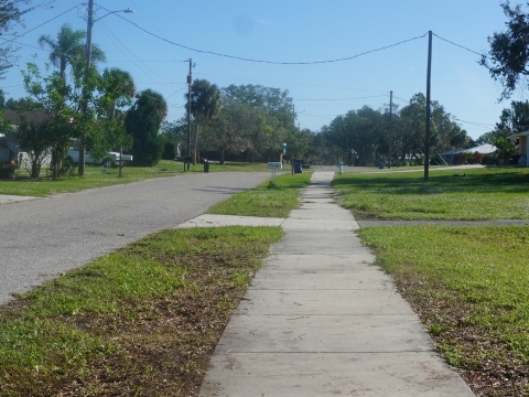
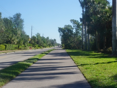
The route from Nokomis Riverview Park Trailhead at the Legacy Trail to Price Trailhead in North Port is next to or on the road for much of the way (8.5 miles). Stay alert and be careful at road crossings. At the eastern end, a totally off-the-road, paved shared-use trail runs east-west 5.5 miles through Deer Prairie Creek Preserve. Our website focus is on safe, off-the-road trail biking, and we avoid biking on roads whenever possible. To assist in planning your ride, view the map to see the types of riding available in each section along the route:
- RED: shared-use trail or sidewalk
- GRAY: bike lane or in the road
- GREEN: unpaved, natural surface
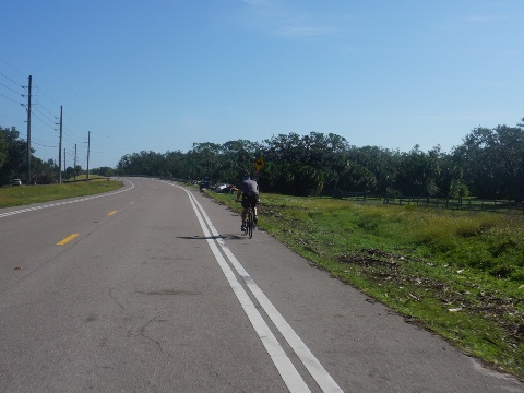
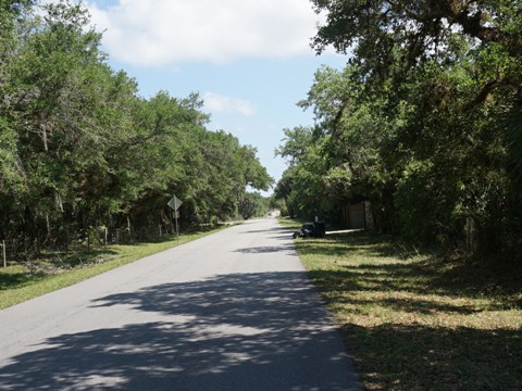
Nokomis Riverview Park to Deer Prairie Creek Preserve - 8.5 miles
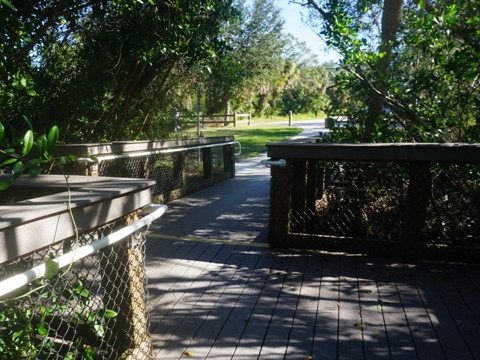
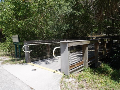
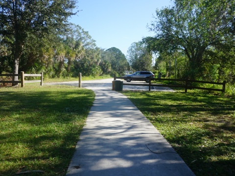
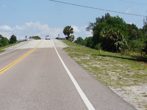
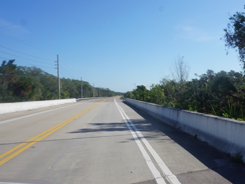
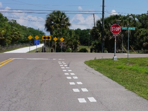
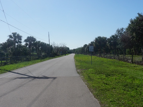
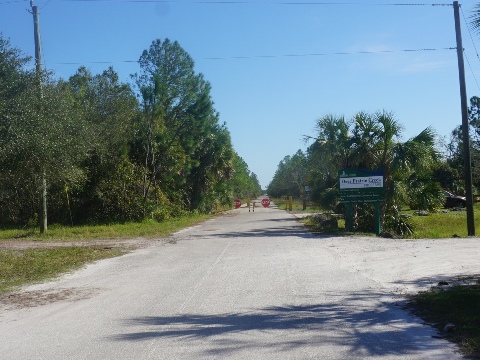
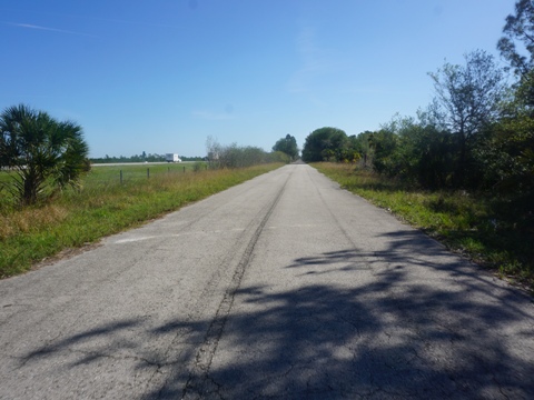
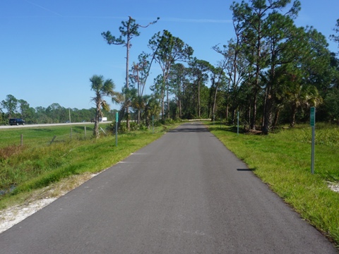
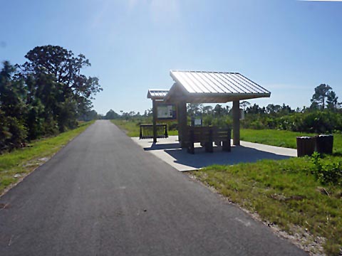
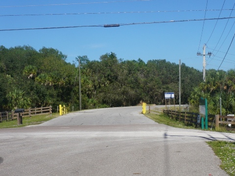
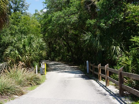
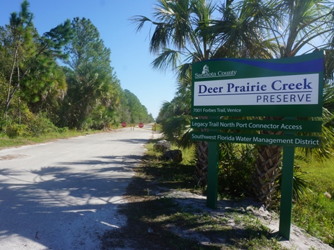
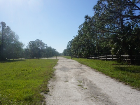
On the Legacy Trail about one-half mile north from the Nokomis Park Trailhead, watch for the Nokomis Riverview Park Trailhead sign and go over the boardwalk. The trailhead has parking only, but also a canoe/kayak launch. This section is a surface road route on bike lanes, sidewalk, sharrow, or shared-use trail. Follow Florence St., Edmonson Rd., and Border Rd. eastbound (the names change, but this is a continuous route), crossing I-75, to the entrance at Carlton Reserve. Turn left to enter the Reserve, or turn right and proceed southbound along S. Moon Dr. From here, the route runs in the lightly traveled roadway, again crossing I-75 (at the Myakka River). At Forbes Trail the road turns eastbound to Deer Prairie Creek Preserve north entrance.
Nokomis Riverview Park to Carlton Reserve
This section has bike lanes, sidewalk, sharrow, and shared-use trail (see map)
(left to Carlton Reserve)
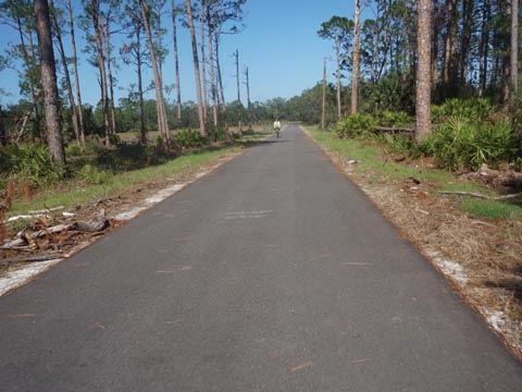
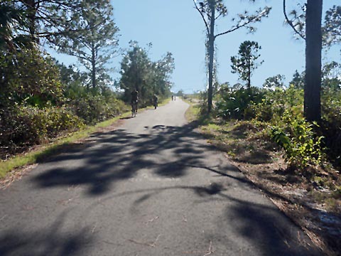
Deer Prairie Creek Preserve to Price Trailhead - 5.5 miles
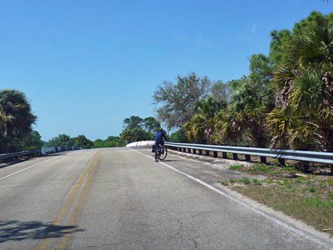
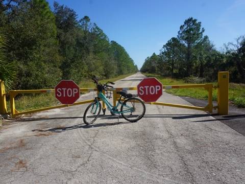
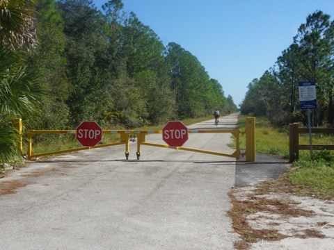
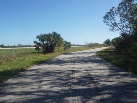
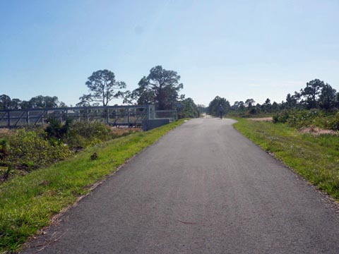
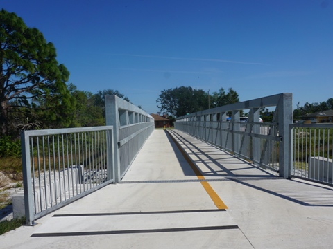
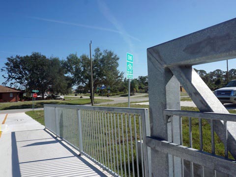
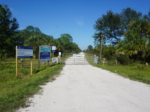
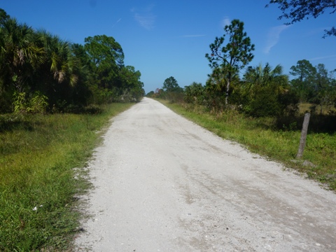
At the north entrance to Deer Prairie Creek Preserve, a gate shuts vehicles off Forbes Trail, which then continues on the road bed as a shared-use trail now extended to North Port. After about one-half mile, the trail emerges alongside I-75 and continues about 3.5 miles with constant road noise. Then, the trail turns south, away from the road. Leaving the road noise behind, we found this to be the most pleasant part of the trail, running about 1.5 mile along a canal between Deer Prairie Creek Preserve and a quiet neighborhood. The Connector ends at the Price Trailhead (parking only at this time), a bridge crosses the canal to the trailhead at Calera St. in North Port. A future extension will run south to Warm Mineral Springs Park.
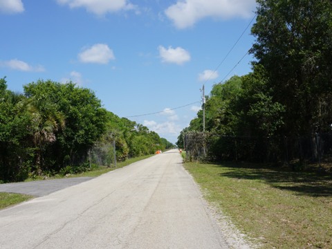
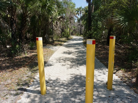
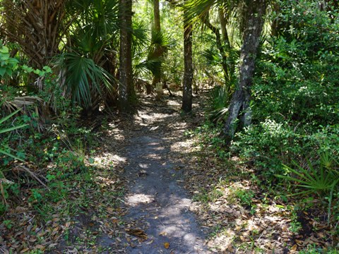
Unpaved Park Connectors
Note: These areas may be closed due to flooding from heavy rainfall or storm damage. Check for closures
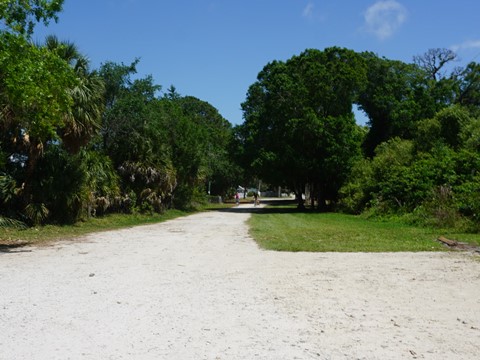
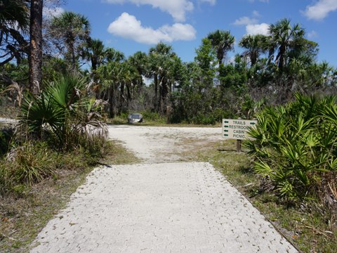
Carlton Reserve
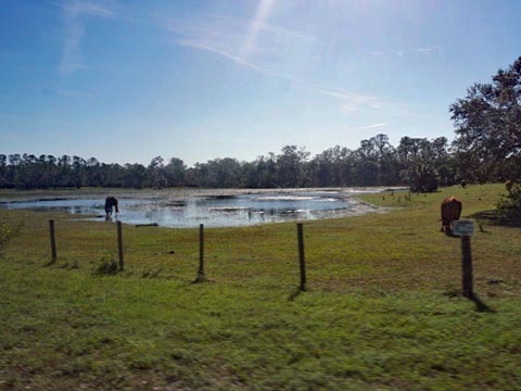
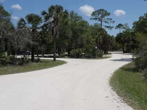
Carlton Reserve covers 24,000+ acres and borders the Myakka River to the west. Parking, restrooms, picnicking, camping, kayak/canoe launch. The Reserve has over 80 miles of hiking trails (some rideable on fat tires), the challenging 9-mile BoldlyGo single-track loop trail, and equestrian trails. The 12-mile Myakka Island Wilderness Trail connects the Carlton Reserve with Myakka River State Park to the north.
Another "connector" runs through the Reserve on the South Powerline Trail, 9.5 miles hard-packed, improved trail to Myakkahatchee Creek Environmental Park. These photos were from an earlier visit, more recently the park was closed for storm repairs, we'll visit the powerline trail on a future trip and update.
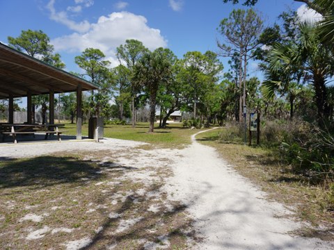
Deer Prairie Creek Preserve
The 6,400+acre Deer Prairie Creek Preserve has 70 miles of hiking trails (some bikeable on fat tires), equestrian trails, and contains a portion of the Myakka River. The north entrance off Forbes Trail has vehicle and equestrian parking, and picnic tables. To the south, parking, restrooms, and picnicking are available at the launch area onto Deer Prairie Creek.
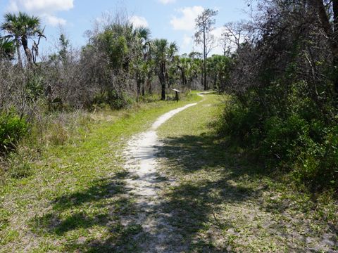
The Alphabet Trail at the Preserve is another "connector" in the system. The natural surface trail runs about 3.75 miles from Forbes Trail at the north to US 41 at the south. This trip, the park was closed for repair and construction, we'll visit the biking trails at a future time.
More Information and Resources
Nearby Biking:
Legacy Trail - FL Top 10
Venetian Waterway Park
Myakka River State Park (eco-biking)
West FL Region - More trails
plus Regional Overview map
Nearby Paddling:
South Creek at Oscar Scherer State Park
Myakka River State Park
Related Resources:
Sarasota
County - Legacy Trail
Sarasota County - Deer Prairie Creek Preserve
Sarasota County - Carlton Reserve
Find Trails by FL Region or Listed A - Z

100FloridaTrails.com... 100+ Florida Multi-use Bike Trails, Best for Safe, Fun Recreation and Fitness
Other Websites:
BikeOrlando.net
PaddleFlorida.net
BikeTripper.net
Copyright © 100FloridaTrails.com. All Rights Reserved.