100 Florida Trails®
Top FL Multi-use Bike Trails
Map Links & Photos Galore
Coast-to-Coast Updates
You are here >
Home >
Trails >
West Florida >
Venetian Waterway Park
Latest update: December 2022
Venetian Waterway Park Trail... Venice, FL
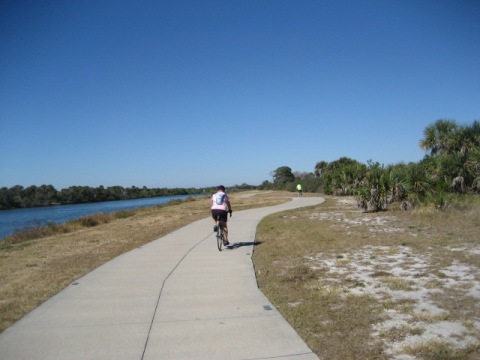
Bike Trail on Both Sides of Intracoastal Waterway
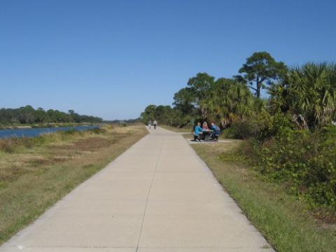
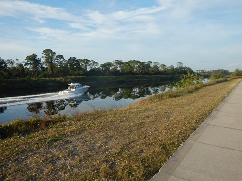
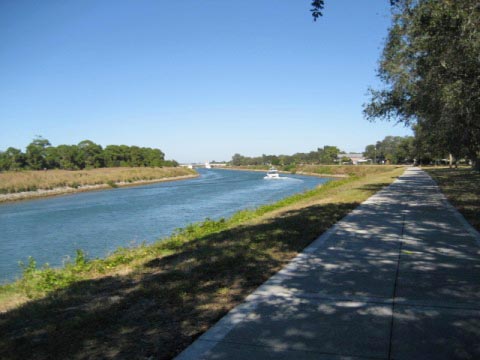
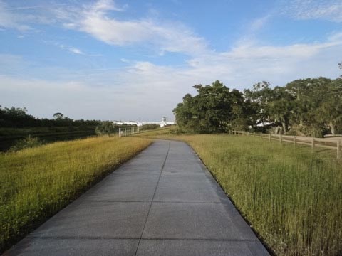
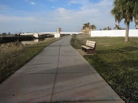
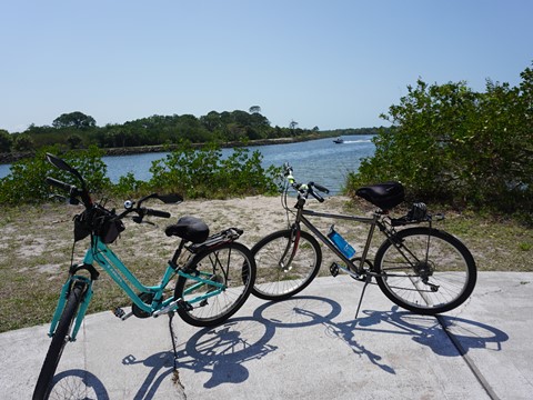
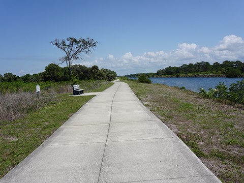
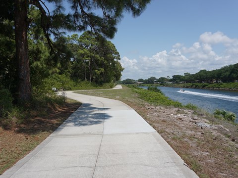
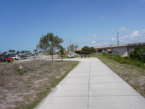
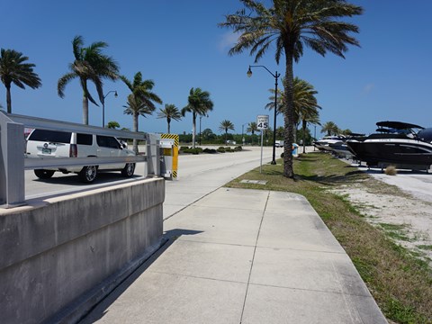
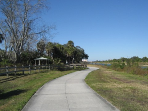
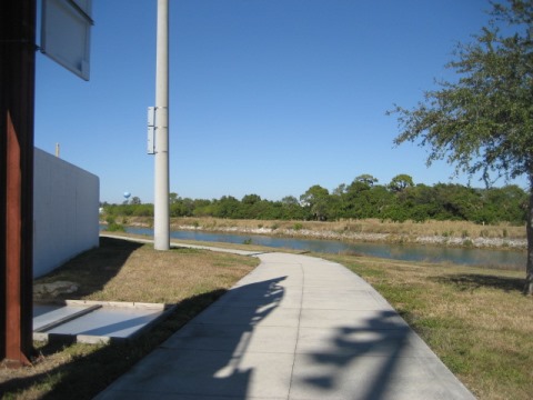
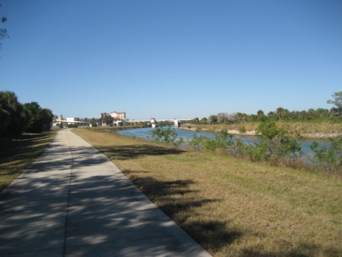
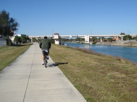
Venetian Waterway Park, Venice, FL is a linear park featuring an 8-10' wide multi-use trail running north/south on both sides of the Intracoastal Waterway. On the east (mainland side), the Waterway trail runs for about 4 miles between Shamrock Park and Nature Center and the Venice Avenue Bridge (where it meets the Legacy Trail). The trail west (island side) runs for about 5 miles between Caspersen Beach and the northern terminus (near the US 41/Hatchett Creek Bridge). There are no road crossings on the trail. To cross between sides, use the Circus Bridge or the Venice Avenue Bridge. (Map link and photos below.)
Location: Sarasota County
End Points: East/Mainland - Shamrock Park to
Venice Train Depot/Legacy Park. West/Island - Caspersen Beach
to US41/Hatchett Creek Bridge
Mileage: 9 miles in two sections,
connects to the Legacy Trail
Surface: Concrete, 8-10 feet
Trailheads/Parking: East/Mainland: Shamrock
Park, Skip Stasko Park, Legacy Park; West/Island: Caspersen
Beach, Airport Festival Grounds, Volunteer Park, Centennial Park
Nearby points of interest: Historic Venice Train Depot,
former Ringling Winter Headquarters, Oscar Scherer State Park, Circus
Museums at Ringling Museum (Sarasota)
Bike Shops/Rentals:
Bicycles
International
(Venice; rentals, sales, service)
Real
Bikes
(Venice; rentals, sales, service)
Venice
Bikes and Trikes
(Venice; mobile rentals, repair)
Support and Advocacy:
Venice Area Beautification
(VABI)
Venice Circus
Arts Foundation
Saving the memory of the Venice Circus Arena
Page Summary:
- Biking at Venetian Waterway Park
- Venetian Waterway Park - East Side (4 miles)
- Shamrock Park to Historic Venice Train Depot/Legacy Park - Venetian Waterway Park - West Side (5 miles)
- Caspersen Beach, Venice Municipal Airport, Circus Bridge, Venice High School, VABI Trailhead, Jetty Park - More Information and Resources
Biking at Venetian Waterway Park... Comments and Photos
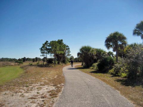
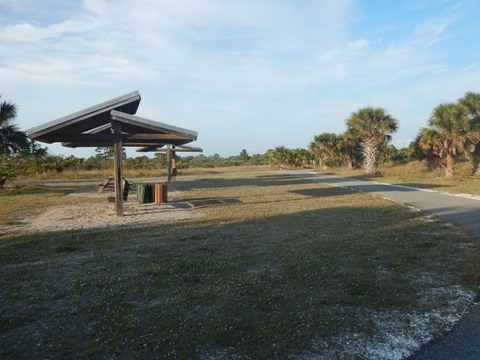
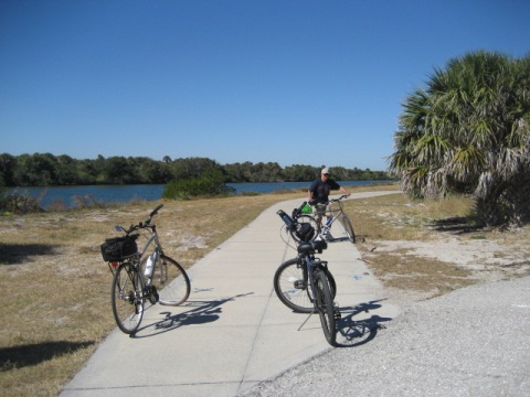
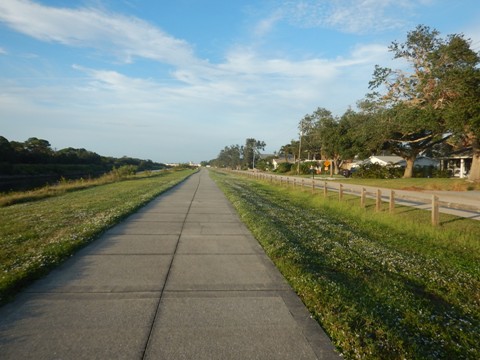
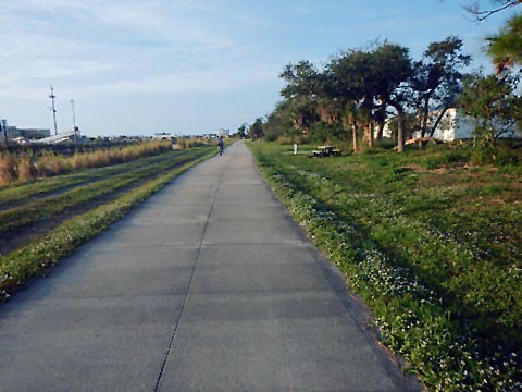
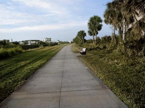
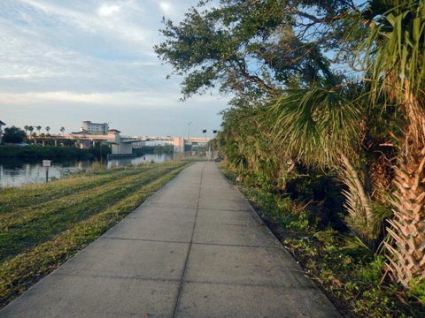
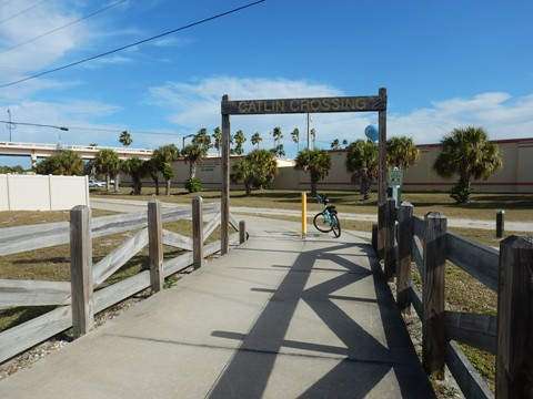
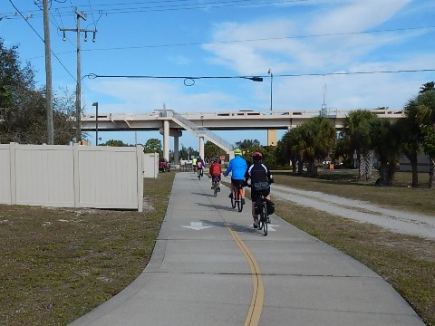
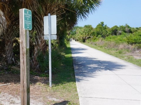
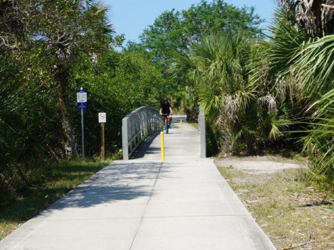
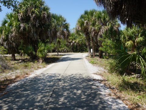
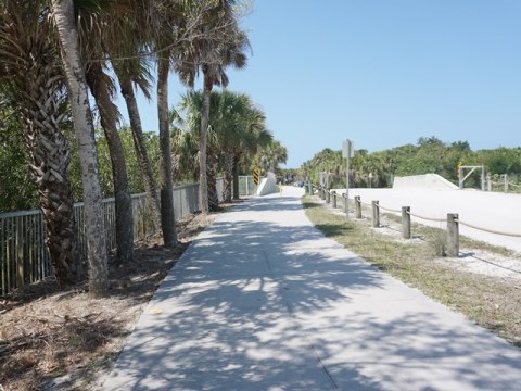
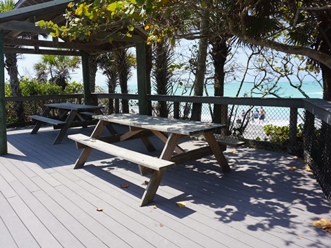
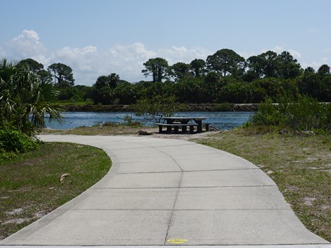
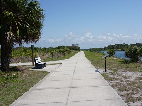
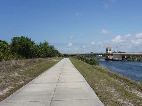
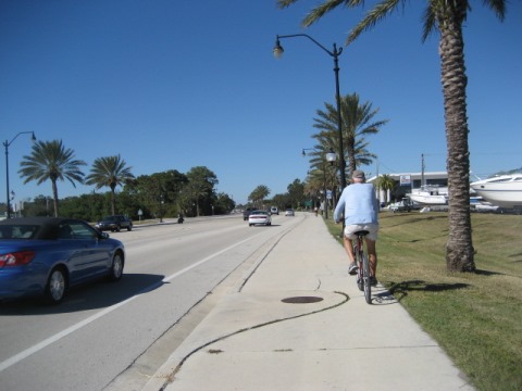
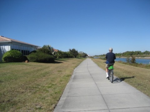
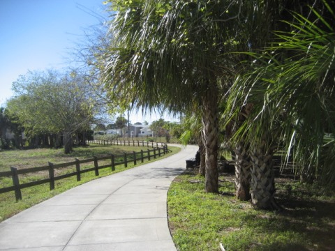
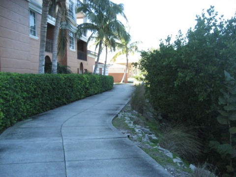
The Venetian Waterway Park Trail is used by bikers, runners, walkers, and skaters. Almost always a water view. No road crossings. The only downside is little to no shade. The trail links several parks, and goes past Venice Municipal Airport and Venice High School. North of the Circus Bridge is more commercial with access to restaurants, museums, shops. Almost totally straight with minimal shade. Benches, picnic tables and interpretative markers are located at intervals along the way. This is a popular trail - bikers are reminded that courtesy counts, and of course pedestrians have the right of way at all times. Yellow emergency markers are embedded in the trail surface every 0.05 mile giving your location. Also watch for the "Island Loop" decals marking a 13-mile ride around the Island of Venice.
Venetian Waterway Park - East Side (about 4 miles)
Shamrock Park to Venice Ave. Bridge
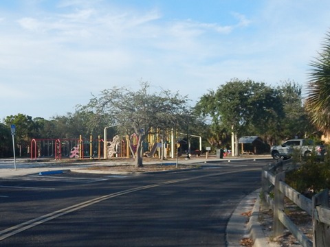
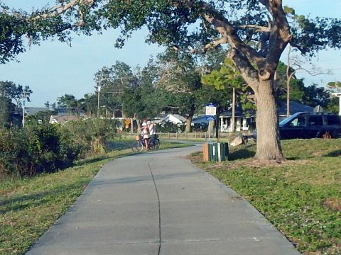
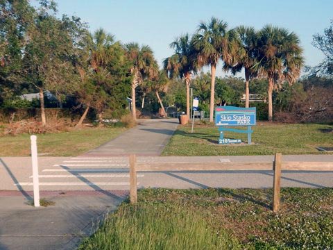
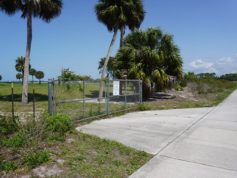
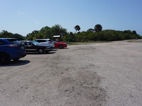
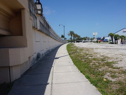
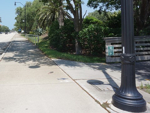
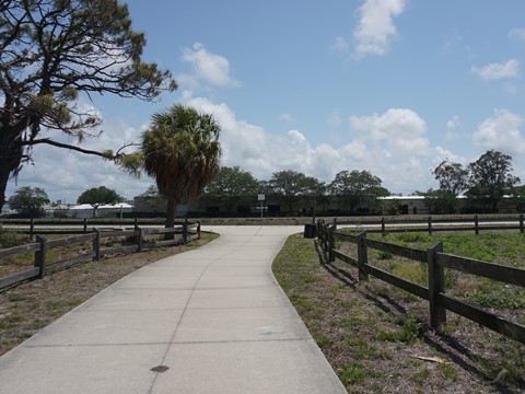
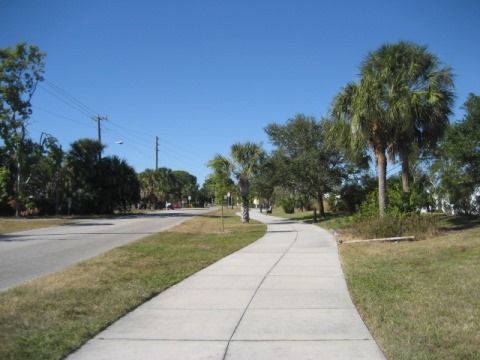
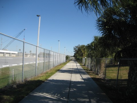
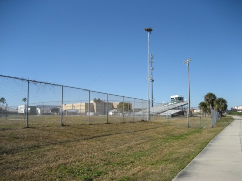
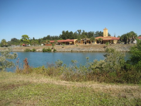
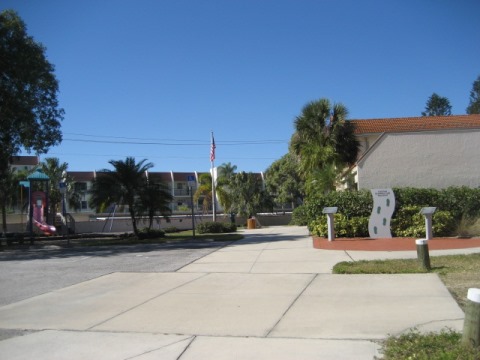
Shamrock Park and Nature Center, at the south end of the east trail, has parking, water, restrooms, playground, picnic pavilions, playing fields, walking and biking trails, butterfly garden, and Environmental Center. Trails run through the park, with two access points to the Waterway Trail. The first 1.5 mile of the trail running north is between the waterway and park, a more natural area. The trail emerges roadside along Scenic Drive, with a fence separator. This section is mostly residential, with Skip Stasko Park providing parking and picnic tables. The airport is directly across the waterway to the west. Scenic Drive ends just before Circus Bridge and the area becomes more business and industrial for the remaining 1.6 miles to Venice Ave. and the Legacy Trail. The trail is widely separated from the buildings, partly including a wooded buffer.
Shamrock Park to Scenic Drive
Scenic Drive to Venice Ave. Bridge
Venice Ave. Bridge / Train Depot / Legacy Park
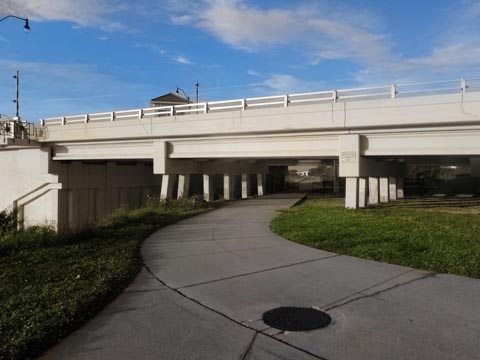
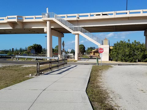
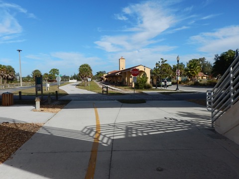
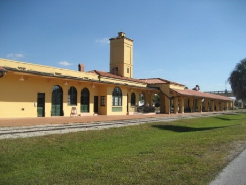
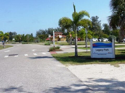
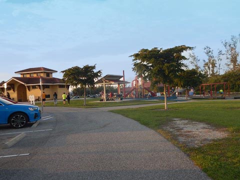
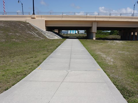
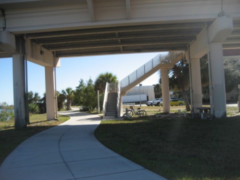
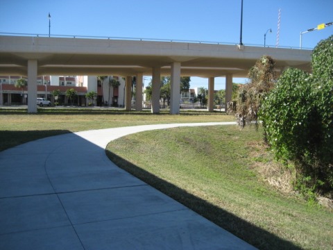
The east trail ends at the Venice Avenue bridge, at the juncture with the Legacy Trail (link below). Go under the bridge and cross E. Venice Ave. Trailhead parking is at Legacy Park (parking, restrooms, picnic, playground, kayak/canoe launch) adjacent to the Historic Venice Train Depot.
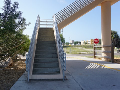
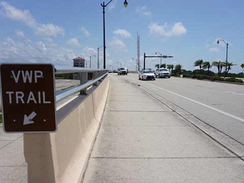
Note: To cross the Venice Ave. Bridge to the west trail, either carry your bike up the stairs or bike around to the road there are no ramps up to the bridge.
Venetian Waterway Park - West Side (about 5 miles)
Caspersen Beach to North Trailhead
South Lookout Point and Caspersen Beach to Circus Bridge
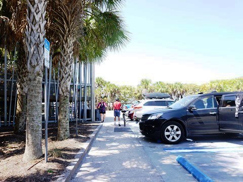
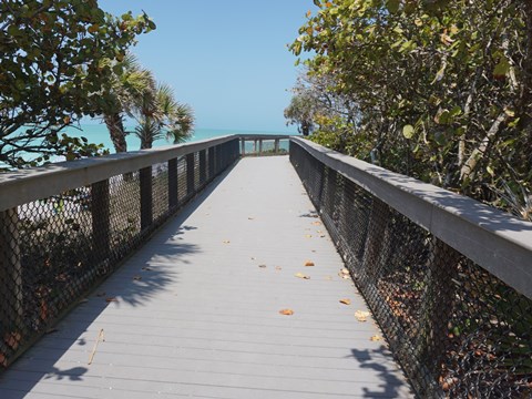
The southernmost point of the west trail is at South Lookout Point (picnic table, bench, water views, fishing), 300 feet south of the spur to Caspersen Beach Park (parking, boardwalk, dune walkovers, picnicking, playground, nature trails, canoe/kayak launch, fishing).
Spur to Caspersen Beach
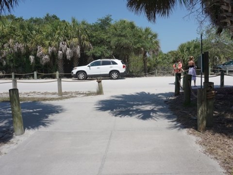
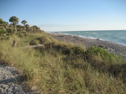
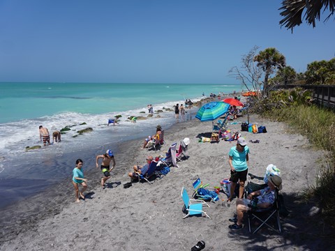
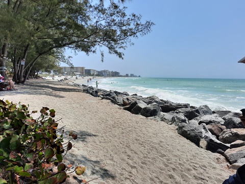
The spur to Caspersen Beach Park runs about 2/10 mile. Located between the Gulf of Mexico and the Intracoastal Waterway, Caspersen Beach is popular for shelling and finding prehistoric shark teeth. The section of beach at Beach Park can get crowded with beachgoers. Still, this is one of the most pristine beaches in Florida, the southern 2/3 being left in its natural state.
Lookout Point to Circus Bridge
From the spur, the Venetian Waterway Park trail follows the waterway, passing Venice Municipal Airport. Past the airport just south of the Circus Bridge is the Airport Festival Grounds Trailhead. Note: Due to Caspersen Beach Park's popularity, its parking lots can fill up. This trailhead is a good parking option, about 2 miles to the beach.
Circus Bridge to North Trailhead
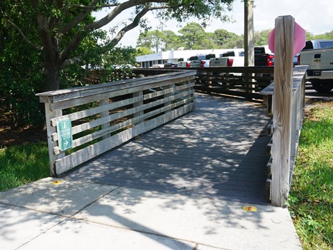
At the Circus Bridge, ramps and access roads at each end lead from the trail to the bridge, linking the two sides of the Waterway Park. A nice wide, elevated sidewalk is on both sides of the bridge. Downtown Venice and Venice Beach lie to the west along this section. In a couple of places, the Waterway Park trail leaves the waterway to go around private properties. The trail ends past the US41/Hatchett Creek Bridge at the Venice Area Beautification VABI) headquarters - a civic organization sponsoring the trail.
Circus Bridge to Tamiami Trail
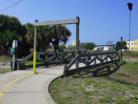
From the trailhead, go under the bridge and up the ramp. From here you can cross over to the east trail, or continue on the west trail. The west trail runs along Tamiami Trail for 1/4 mile, then turns off across a boardwalk through a pleasant wooded area.
Tamiami Trail to Venice High School
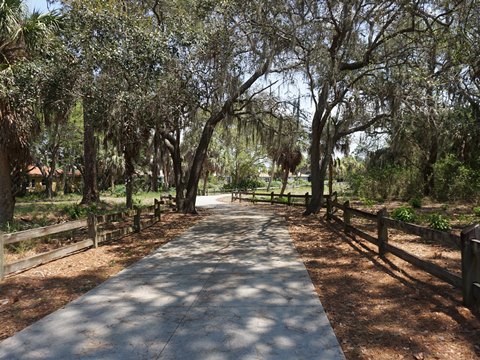
This section from the boardwalk includes welcome shade before the trail returns to the waterway. A short 1/10 mile segment runs south to a dead end. The trail continues north along the waterway for another 4/10 mile where it turns off again and loops around the Country Club Estates Development, running alongside Golf Drive for 1/2 mile until returning to the waterway at Venice High School.
Venice High School to North Trailhead
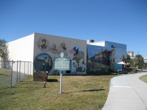
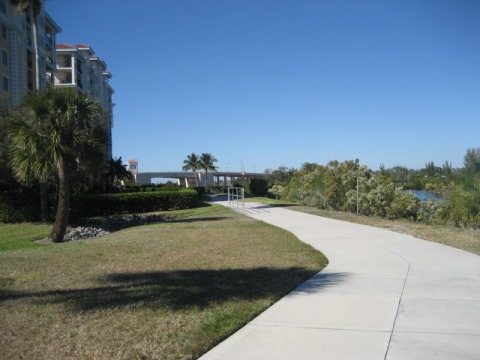
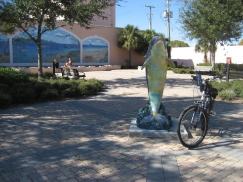
Just past the high school an historical marker describes the Fred Albee Municipal Airport (1935-1950's) once occupying the land on which the school was built. A mural on buildings and pavers on the trail provide a Venice historical timeline. Continuing on the trail, go under the Venice Ave. Bridge - see the Historic Venice Train Depot across the waterway. Along the next 3/10 mile, the trail passes a condominium complex and goes under the US41/Hatchett Creek Bridge. Just beyond here is the North Trailhead at VABI Headquarters. Finally, the pathway runs south along US 41 ending at Michael Biehl Park and the Venice Theater. Parking is available at Centennial Park, one block west along Tampa Ave. at Nokomis Ave. near Historic Downtown Venice and just a mile to Venice Beach.
South Jetty Park
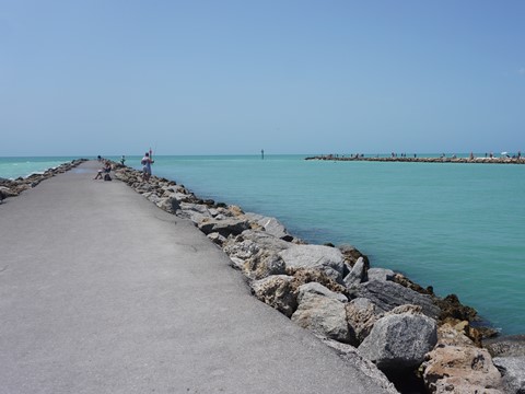
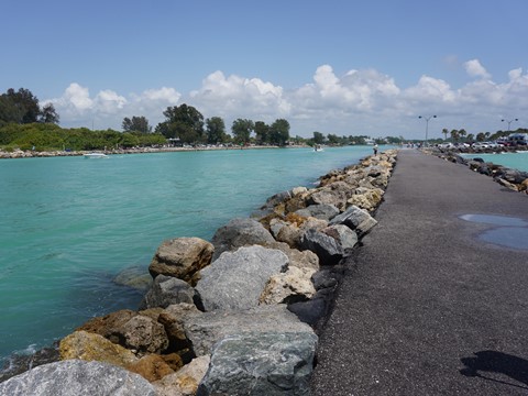
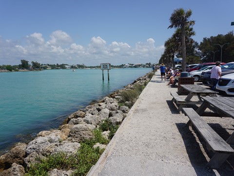
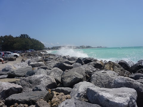
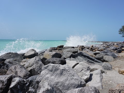
From the North Trailhead, following a road route through Historic Downtown Venice and north along the Gulf, is Humphris Park at the entrance to the South Jetty at the Venice Inlet. While not part of Venetian Waterway Park, it marks the end of the Intracoastal Waterway in Venice. We found it a pleasant stop, with parking, restrooms, picnic tables, fishing, food concession. We enjoyed the Gulf views from the park and the 1/10 mile paved south jetty (the north jetty across the channel is in Nakomis).
More Information and Resources
Nearby Biking:
Legacy Trail - FL Top 10
North Port Connector
West FL Region - More trails
plus Regional Overview map
Nearby Paddling:
South Creek at Oscar Scherer State Park
Myakka River State Park
Related Resources:
City of Venice -
Venetian Waterway Park
Sarasota County Government - Venetian Waterway Park
Find Trails by FL Region or Listed A - Z

100FloridaTrails.com... 100+ Florida Multi-use Bike Trails, Best for Safe, Fun Recreation and Fitness
Other Websites:
BikeOrlando.net
PaddleFlorida.net
BikeTripper.net
Copyright © 100FloridaTrails.com. All Rights Reserved.
