100 Florida Trails®
Top FL Multi-use Bike Trails
Map Links & Photos Galore
Coast-to-Coast Updates
You are here >
Home >
Trails >
West Florida >
Pinellas Trail Loop
Latest update: December 2025
Pinellas Trail Loop... Regional Trail System, West Florida
65 miles (and growing) in Pinellas County
The Pinellas Trail Loop is a regional trail network providing safe recreational and transportation alternatives in Pinellas County. The loop incorporates the Fred Marquis Pinellas Trail (St. Petersburg to Tarpon Springs) on its western leg (now 46 miles), and on its eastern leg the Duke Energy Trail (13 miles, 22.5 miles when complete) and the North Bay Trail (6.5 miles). The Pinellas Trail on the west leg is a rail-trail, while to the east the route includes roadside sections and runs through powerline corridors. (Map and biking photos below.)

Location: Pinellas County
End Points: St. Petersburg to Tarpon Springs and return
Mileage: Western Leg (46 miles); Eastern Leg (19
miles); eventually, 75
miles total
Surface: Paved asphalt, 15' (some narrower sections)
Nearby points of interest: North Anclote Nature
Park, John Chestnut Sr. Park, BayCare Ballpark (formerly
Spectrum Field), Weedon Island Preserve, Courtney Campbell Causeway
Bike Shops/Rentals:
Many, see links to individual trail pages for details
Page Summary:
Biking on the Pinellas Trail Loop
- Fred Marquis Pinellas Trail (36 miles)
- St. Petersburg to Tarpon Springs - East Lake Extension (9 miles)
- Tarpon Springs to John Chestnut Sr. Park - Duke Energy Trail (13 miles)
- Trail Gap (12 miles)
- North Bay Trail (6.5 miles)
- More Information and Resources
Biking on the Pinellas Trail Loop... Comments and Photos
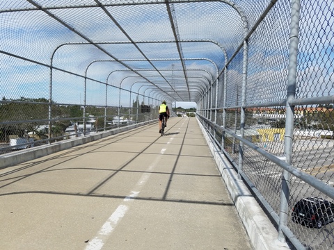
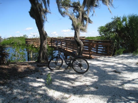
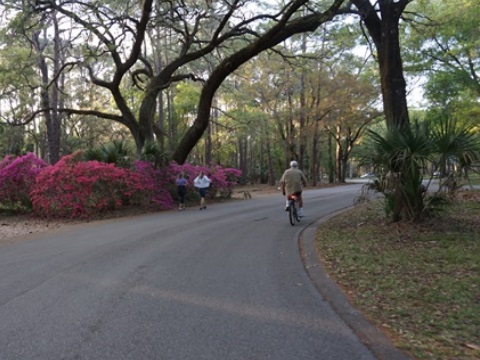
Fred Marquis Pinellas Trail (36 miles)
St.
Petersburg to Tarpon Springs
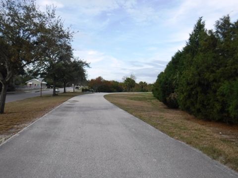
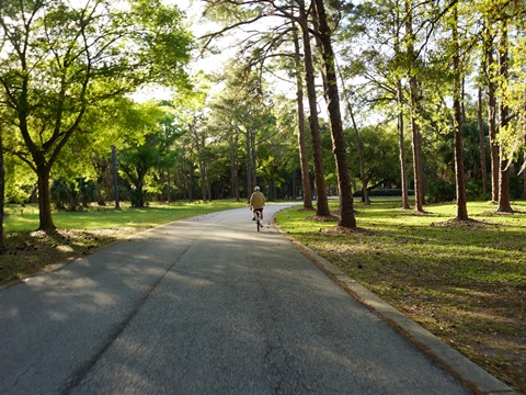
The "original" Fred Marquis Pinellas Trail from St. Petersburg to Tarpon Springs follows the railbed, with the northern section from Dunedin to Tarpon Springs being the most scenic. The multi-use, urban rail trail has hundreds of thousands of monthly users, including bike riders, skateboarders, joggers and hikers. The trail spans multiple towns, linking parks, coastal areas, and residential neighborhoods.
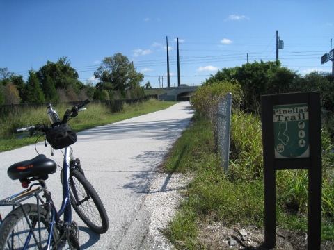
East Lake Extension (9 miles)
Tarpon Springs to John Chestnut Sr. Park
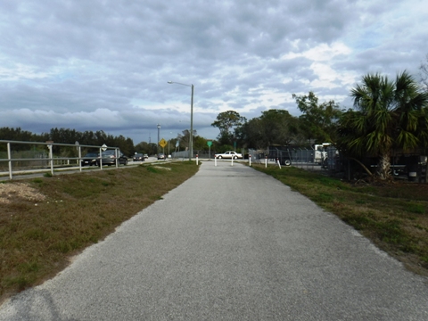
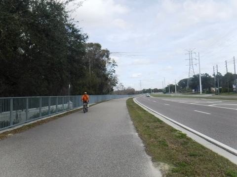
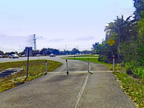
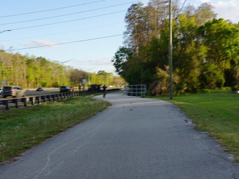
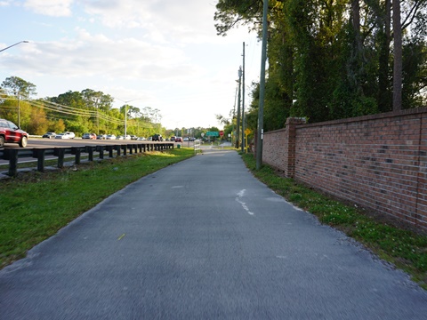
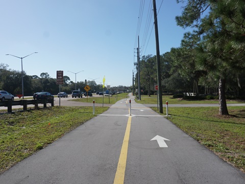
Past Tarpon Springs starting along Live Oak St., the Pinellas Trail heads east, leaving the original rail line and running mostly alongside roads with almost no shade.
- The trail runs alongside Live Oak St. for about 2/10 mile before leaving the roadside. After crossing Disston Ave., the juncture with the Elfers Spur Trail is about 1/4 mile. On our latest trip that trail was blocked due to construction at the section over the Anclote River. When open, it will connect to North Anclote Nature Park and to the Coastal Anclote Trail. More information on the Elfers Spur Trail
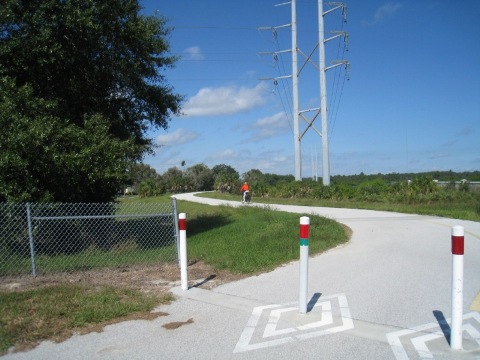
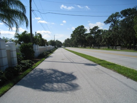
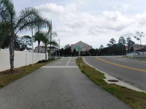
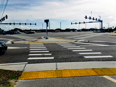
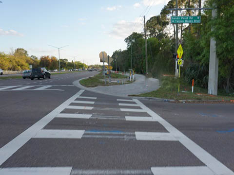
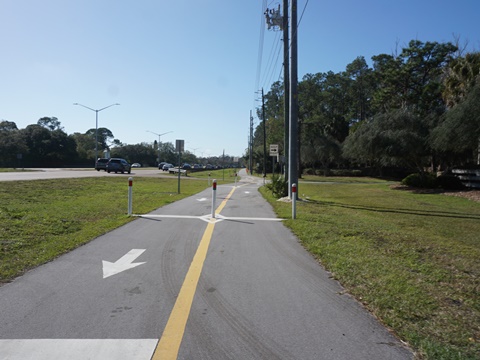
- Past the spur, the trail goes under U.S. Hwy 19, around a subdivision, along N. Jasmine Ave. and Melon St. before emerging onto Keystone Road (5 miles). It continues along Keystone Road to East Lake Road where it splits - south on East Lake Rd. as part of the Pinellas Trail Loop, and east on the Tri-County Trail as part of the Florida Coast-to-Coast Trail.
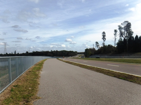
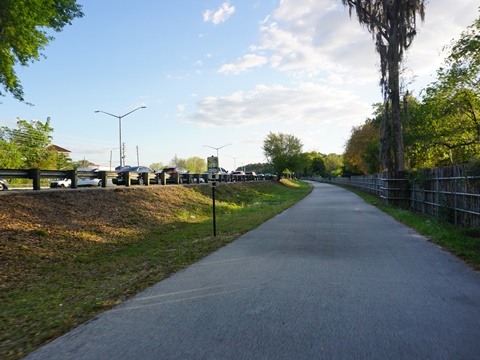
- The trail continues south along East Lake Road about 4 miles to John Chestnut Sr. Park, where it meets the Duke Energy Trail. The trail is separated from the road by a wide median, but there are some road crossings, so keep alert.
Live Oak St. to East Lake Road
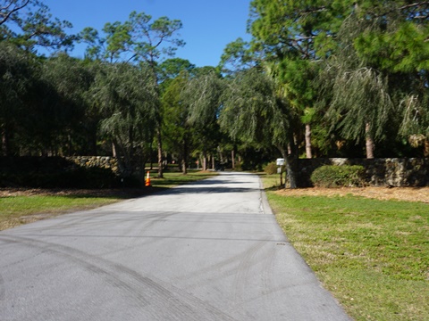
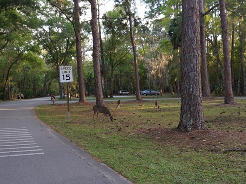
John Chestnut Sr. Park
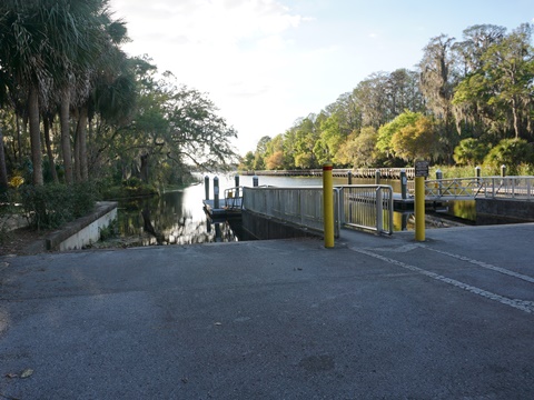
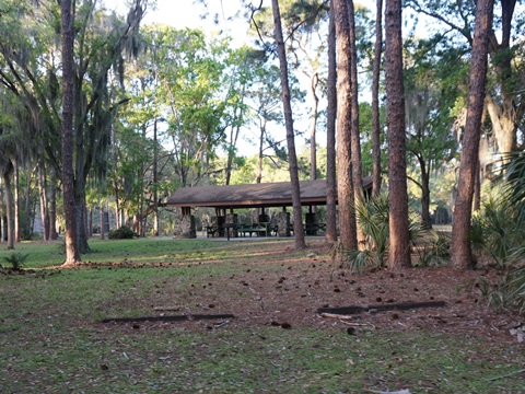
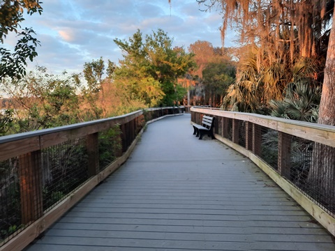
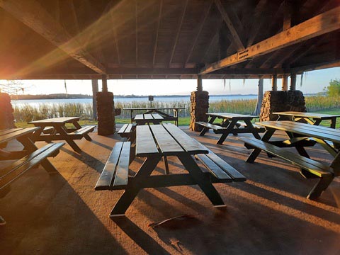
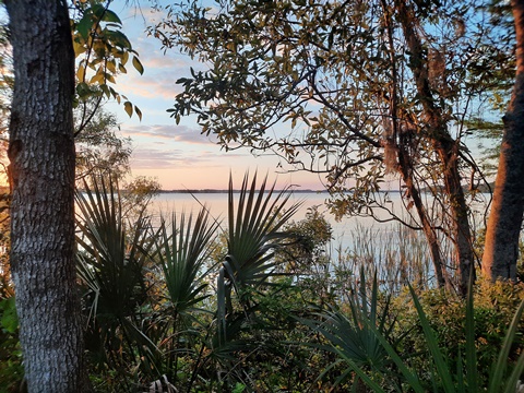
John Chestnut Sr. Park at 255 acres is a real gem in Palm Harbor - parking, restrooms, picnic, playgrounds, playing fields, dog park, observation tower, boat ramp onto Lake Tarpon, and paddling trail. The park roads are bikeable and there are 2.7 miles of walking/hiking trails - we enjoyed the boardwalk along the lake and sunset view. An assortment of wildlife can be seen, including alligators, deer, assorted birds and more. More about John Chestnut Sr. Park
Duke Energy Trail (13 miles)
The Duke Energy Trail forms most of the eastern segment of the Loop, eventually running from John Chestnut Sr. Park in Palm Harbor to the North Bay Trail in St. Petersburg. About 13 miles are now complete, with a total of 22.5 miles projected after completion of the "South Gap."
Trail Gap (12 miles)
This section runs from the Duke Energy Trail at Haines Bayshore Rd. south to the North Bay Trail, about 12 miles.
Update: An underpass has been completed at Ulmerton Rd., and a short portion is complete in St. Petersburg utilizing the existing Roosevelt Blvd. Trail, about 2 miles. We'll provide more details when we've visited this section.
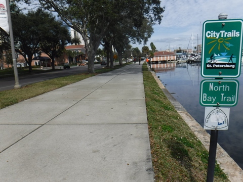
North Bay Trail (6.5 miles)
This existing trail forms the end of the Pinellas Trail Loop east leg, returning to Demens Landing in St. Petersburg and the start of the Pinellas Trail.
More Information and Resources
More Biking:
West FL Region - More trails plus Regional Overview map
Watch a Video:
Riding the Pinellas Trail Loop In Timewarp Speed with our friend Dave at Phonamana
Related Resources:
Pinellas County - Guide to the Pinellas Trail
Support and Advocacy:
Friends
of the Pinellas Trail
Find Trails by FL Region or Listed A - Z

100FloridaTrails.com... 100+ Florida Multi-use Bike Trails, Best for Safe, Fun Recreation and Fitness
Other Websites:
BikeOrlando.net
PaddleFlorida.net
BikeTripper.net
Copyright © 100FloridaTrails.com. All Rights Reserved.