100 Florida Trails®
Top FL Multi-use Bike Trails
Map Links & Photos Galore
Coast-to-Coast Updates
You are here >
Home >
FL Eco-biking >
Everglades Eco-biking>
Canal / Levee Trails
Latest update: January 2025
Everglades, Miami Area Eco-biking Trails...
Unpaved Biking, Hiking on Area Canal Levee Trails
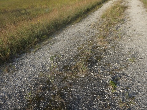
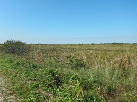
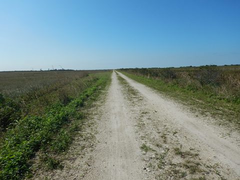
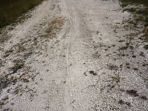
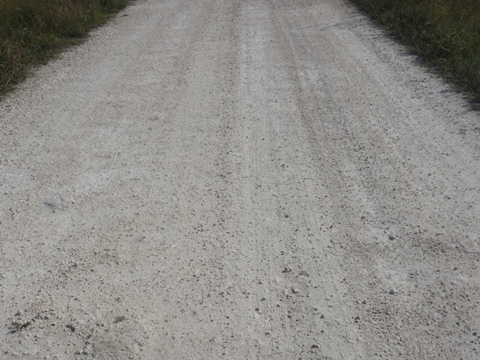
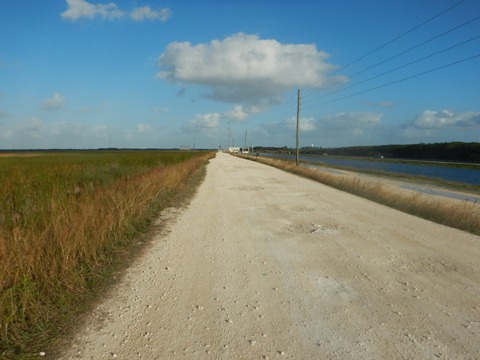
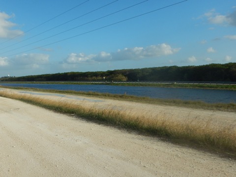
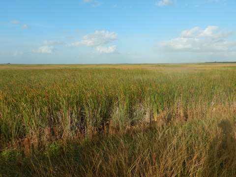
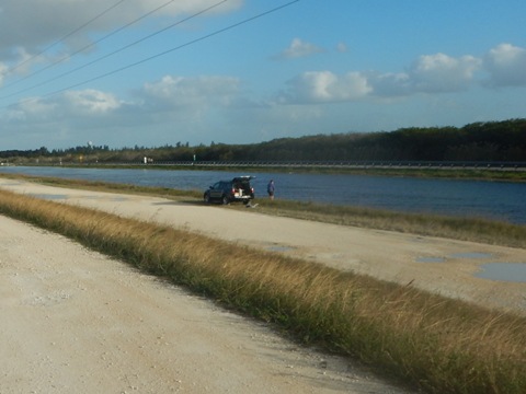
Throughout surrounding Preserve and Wildlife Management Areas, and now into major metropolitan areas - the levees along most canals can now be biked - mostly on dirt and gravel - fat tires are recommended. The canals intersect and cross, so rides can seem limitless. With long distances, no shade, and no facilities, be prepared with water, sunscreen, and eats. A spare tube and repair kit is a good idea. Bug spray is recommended, particularly in the warmer months. Fishing, hiking and airboating are also popular along the levees.
Scroll down or use the links below for canal/levee eco-biking trails outside Everglades National Park...
Overview Map... Everglades Eco-biking
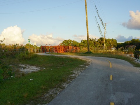
Biscayne-Everglades Greenway
Biscayne-Everglades Greenway is a 45-mile bike route (mostly along canals) from Biscayne National Park to Everglades National Park at Coe Visitor Center. Partially complete, much is still in development. The sections at both east and west ends are on existing canal trails. A section through Homestead will incorporate an on-road (paved) section.
Please see full page trail report -- Biscayne-Everglades Greenway, Map, Photos
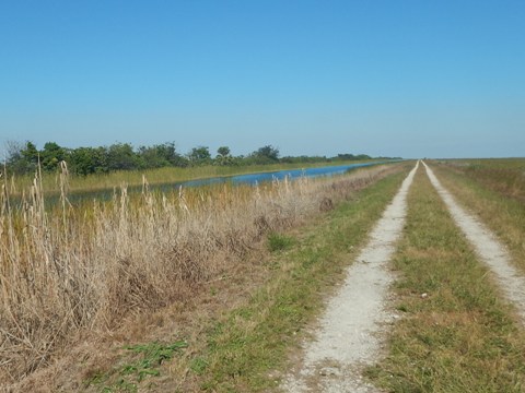
Conservation Levee Greenway
Within the Everglades and Francis S. Taylor Wildlife Management Area, and part of Broward County's Greenways system, Conservation Levee Greenway is a 27-mile loop on gravel and stone, popular for biking, hiking, fishing, and sunset viewing. Circling Water Conservation Area 2A, there are three access points: the Sawgrass Trailhead at Atlantic Blvd. in Coral Springs (east, the main trailhead), at Markham Park off the New River Greenway in Sunrise (south), and Sawgrass Recreation Park off US 27 in Weston (west).
Please see full page trail report -- Conservation Levee Greenway, Map, Photos
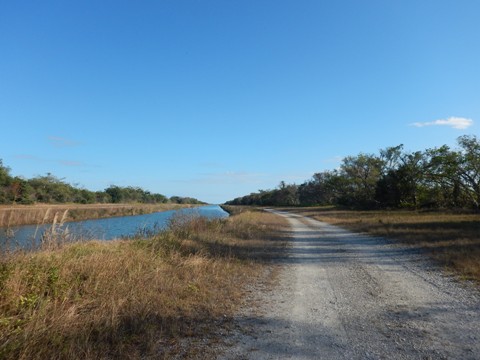
Southern Glades Trail
Southern Glades Trail starts along SR 9336, outside Everglades National Park (south entrance), about 1.5 miles east of the Coe Visitor Center. From the small parking area, it runs south and east 13 miles along C111 canal through the Southern Glades Wildlife and Environmental Area to Manatee Bay.
Please see full page trail report -- Southern Glades Trail, Map, Photos
More Canal/Levee Trails
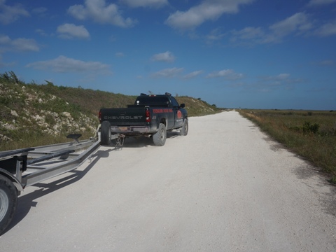
L-30 Canal Trail along SR 997
The L30 Canal Trail starts off US 41 (Tamiami Trail) just west of SR 997 (Krome Avenue), near the Miccosukee Resort and Casino. Parking, airboating, fishing. A truck stop where the roads intersect provides food and facilities. The trail runs about 14 miles north to the Miami Canal. At that point, exit to SR 997 at Danell Ln., or continue north along C-33, now paralleling US 27, 8 miles to Everglades Holiday Park, or go northwest along the Miami Canal (C-6) trail, about 6 miles to intersect with L-67A (see below).
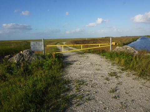
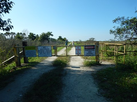
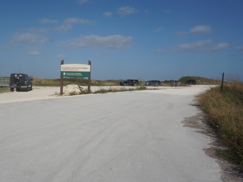
L-67A Canal Trail
From Everglades Holiday Park, the trail runs south along the canal through the Everglades and Francis S. Taylor Wildlife Management Area to US 41 at the S-333 Spillway, about 25 miles. At that point, are three options. To the east, The L-29 Tamiami Canal Trail runs along the north side of US 41 about 11 miles to the L30 canal trail (see below). To the northeast, the L-67C canal trail runs about 6 miles before it dead-ends. Across US 41, an extension runs south into Everglades National Park, about 5.5 miles through the Shark River Slough before dead-ending.
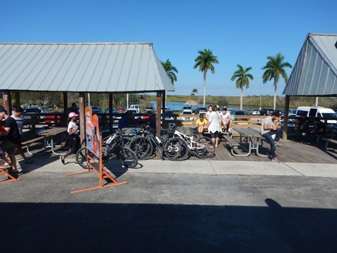
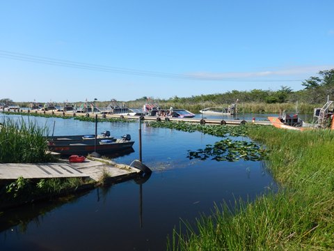
L-67A at Everglades Holiday Park
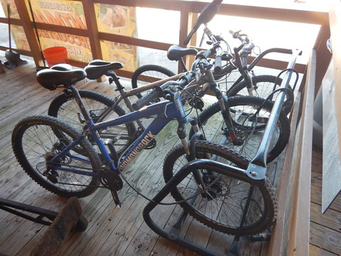
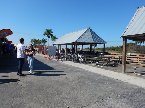
The section near popular Everglades Holiday Park is not exactly tranquil, with the airboats coming and going. Bicycle rentals offered. Parking, food, and restrooms are a bonus. In addition to airboat rides are animal shows and the gator pit (this is home of the Gator Boys Alligator Rescue).
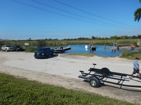
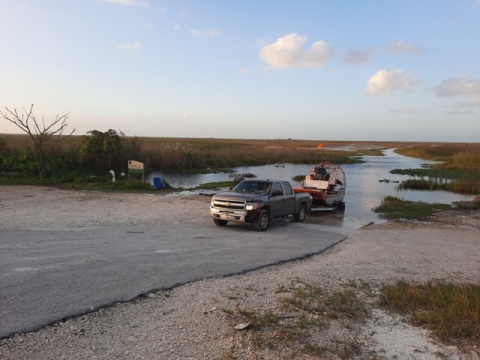
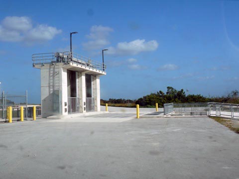
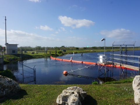
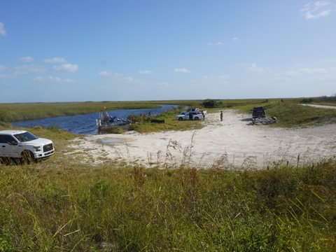
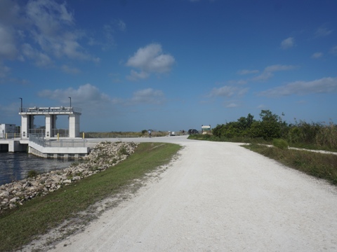
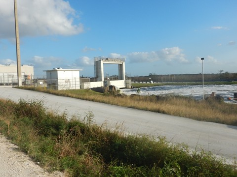
L-67A at US 41
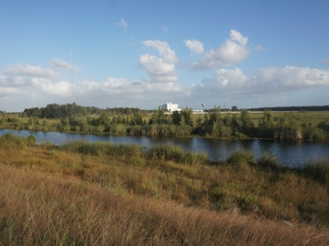
At US 41, the L-67A canal trail comes to the S-333 spillway (a water control structure to facilitate the flow of water through The Everglades). This is a popular spot - the 67A canal is known for great fishing - with parking, public boat ramp, and airboating.
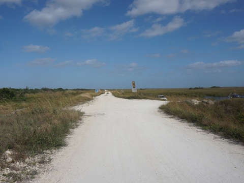
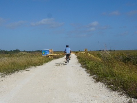
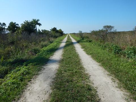
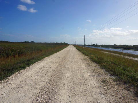
Tamiami Canal Trail (L-29)
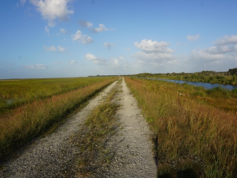
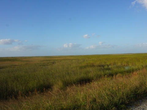
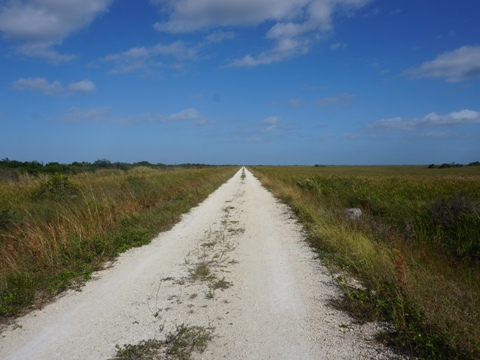
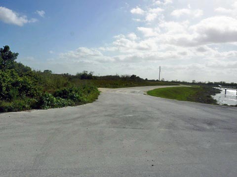
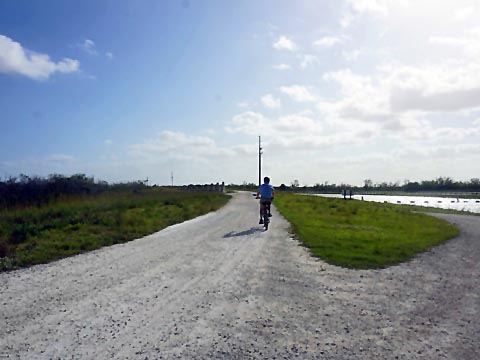
The Tamiami Canal Trail (L-29) runs along the north side of US 41 from L-67A and the S-333 Spillway, about 11 miles to the S-334 spillway and L-30 canal trail access at SR 997 - these are the only two access points, bridges cross the canal from US 41 to the levee. The trail is not quite as rough as some of the other canal trails. Sections may be shared with vehicles. The scenery is pretty much the same the entire way - views of US 41 and of the wildlife management area. Along the way, you'll see the bridges that have been constructed along US 41 to improve water flow into Everglades National Park. Bridges and culverts are being built as part of The Everglades restoration project, US 41 has long been a barrier to water flow within this ecosystem.
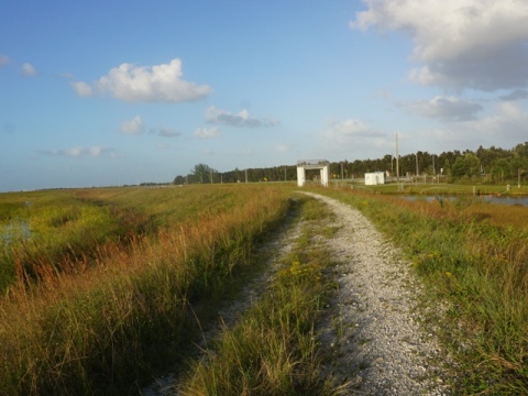
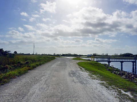
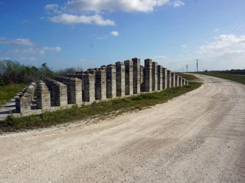
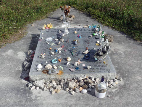
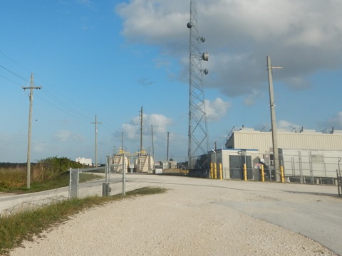
L-29 from the S-333 Spillway, eastbound
Leaving the S-333 spillway, the trail runs past a fishing pier, then the ValuJet Flight 592 Memorial - 110 passengers and crew died in the crash, May 1996.
More Information and Resources
Nearby Biking:
Everglades Area
Eco-biking
- Inside the National Park
- Historic Roads
- Canal/Levee trails
Paved biking at Everglades National Park
South FL Overview - all 3 South Florida Regions, with Regional Overview map
Find Trails by FL Region or Listed A - Z

100FloridaTrails.com... 100+ Florida Multi-use Bike Trails, Best for Safe, Fun Recreation and Fitness
Other Websites:
BikeOrlando.net
PaddleFlorida.net
BikeTripper.net
Copyright © 100FloridaTrails.com. All Rights Reserved.