100 Florida Trails®
Top FL Multi-use Bike Trails
Map Links & Photos Galore
Coast-to-Coast Updates
You are here >
Home >
FL Eco-biking >
Everglades Eco-biking>
Historic Roads
Latest update: January 2025
Everglades, Miami Area Eco-biking Trails...
Unpaved Biking, Hiking on Historic Roads
These old roads provide some (limited) biking but a lot of history: Loop Road was mapped during a dispute over the route of the original Tamiami Trail, and Old Ingraham Highway was the original road to Flamingo.
Scroll down or use the links below for eco-biking on Historic Roads in or near Everglades National Park...
Overview Map... Everglades Eco-biking
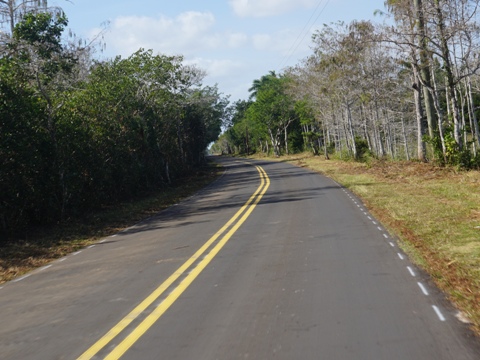
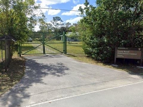
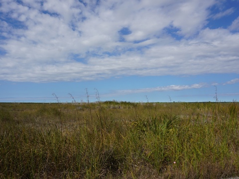
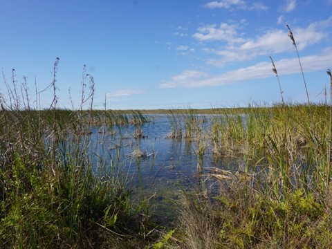
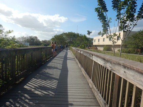
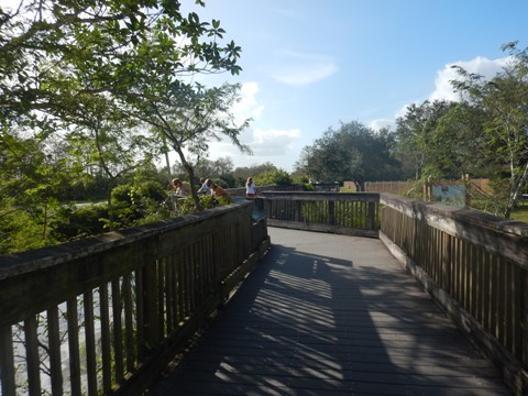
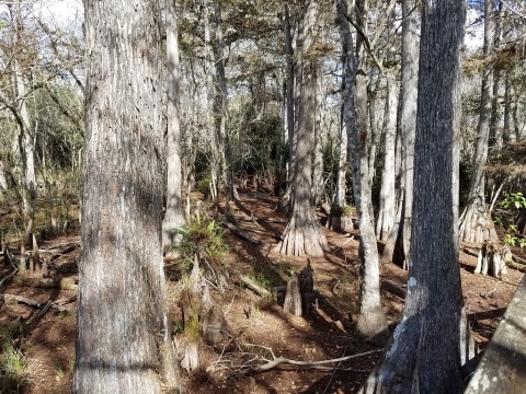
Loop Road Scenic Drive
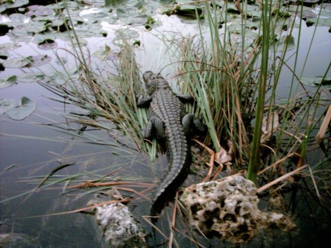
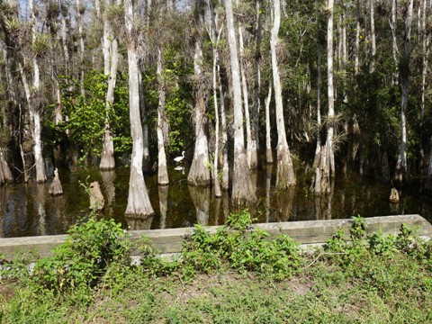
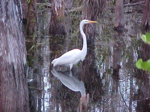
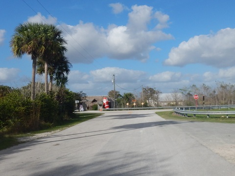
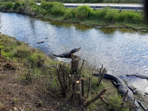
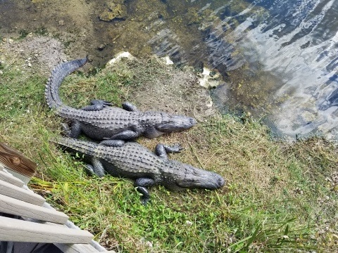
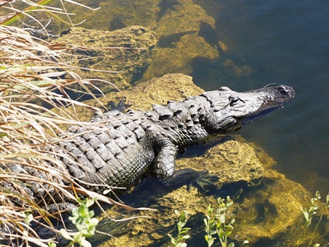
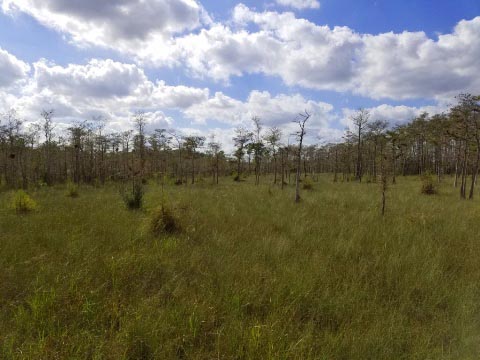
Loop Road (CR 94) is a 24-mile road, 4 miles west of Shark Valley, paralleling the Tamiami Trail (US 41) in the Big Cypress National Preserve. The road starts and ends along US 41, to the east at 40 Mile Bend (because it's 40 miles from Miami), and to the west at Monroe Station (4 miles west of the Oasis Visitor Center). This is a top eco-route - the scenery is unmatched! Watch the birds in the brush and the otters cavorting in the ponds - and the alligators!
Loop Road Scenic Drive
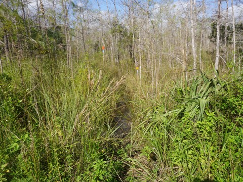
- Loop Road is paved for 7 miles at the eastern end, and for a short distance at the west. The rest is unpaved and bumpy, bikeable (fat tires recommended), but it's a long, often rough ride. Shared with motor vehicles, you may want to drive - generally, 1.5 to 3 hours depending on how many stops you make to take in the views.
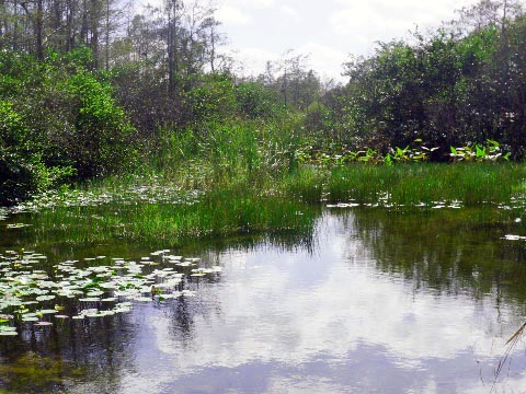
- Several hiking paths, including the very end of the Florida National Scenic Trail, are along the road. Be prepared to wade on most, especially during rainy season.
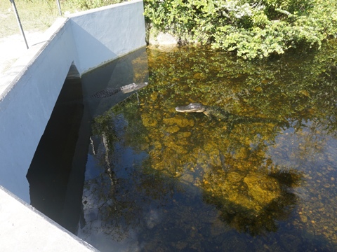
- The best wildlife viewing is generally at the culverts, also good for fishing.
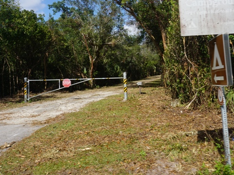
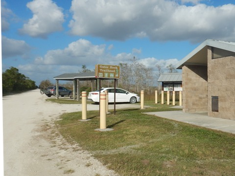
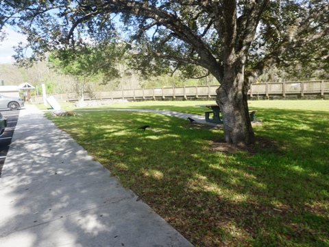
- The Gator Hook Trailhead near the western end has a welcomed restroom and picnic tables.
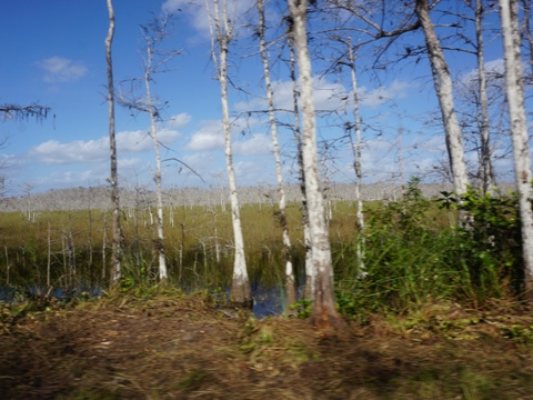

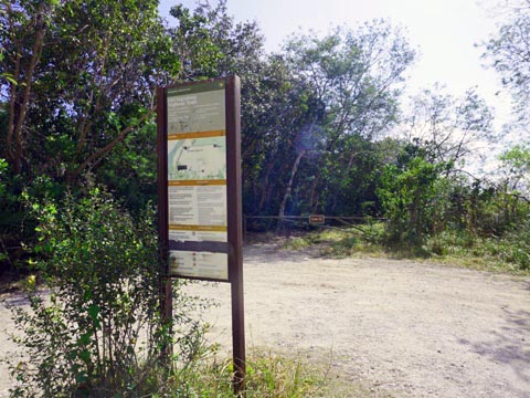
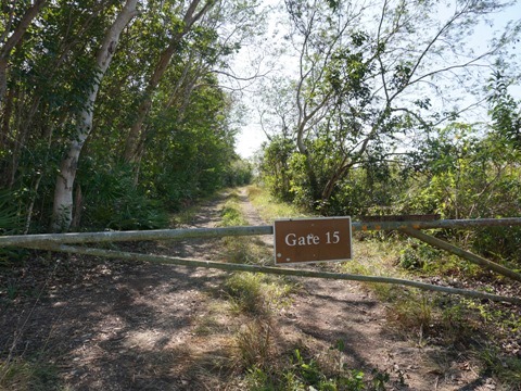
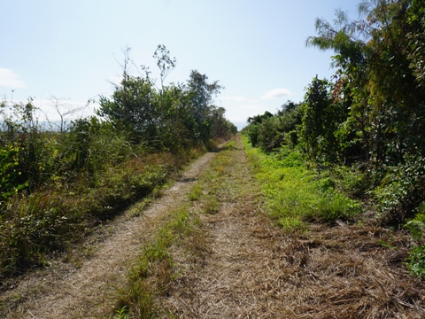
Old Ingraham Highway
Old Ingraham Highway, the original road to Flamingo in the 1920's, runs within Everglades National Park, off the road to the Royal Palm Visitor Center. Follow the access road about 1.5 to the trail start at Gate #15. Parking is along the side of the road. From here, the trail continues on the old highway roadbed.
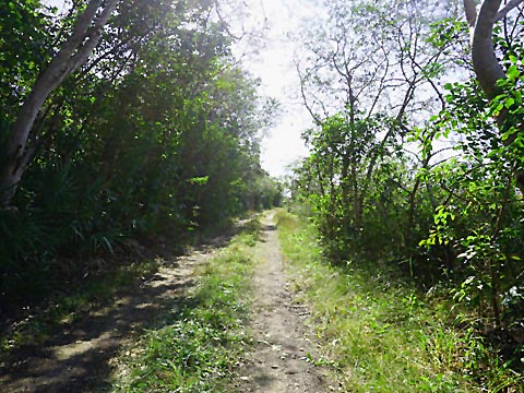
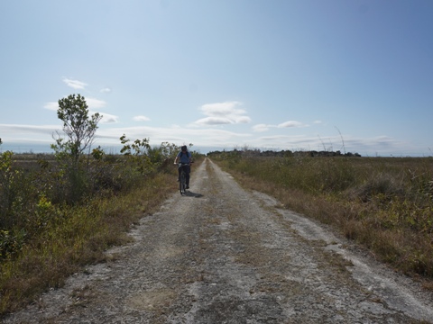
Old Ingraham Highway Trail
- The first section past the gate is shaded and rough, then the trail opens onto the sawgrass prairie - no shade here. The old roadbed has some smoother spots, but still rocky with overgrown sections. The trail is bikeable on mountain bikes, but not enjoyable eco-biking for recreational bikers like us - hiking is a better option.
- There are no facilities along the trail, bring water, snacks, sunscreen, and insect repellent - due to the mosquitoes, visiting in the cooler months is recommended.
- The trail may be flooded in rainy season.
Touring Along Tamiami Trail
The Tamiami Trail (US 41), completed in 1928, runs 284 miles from Tampa to Miami. The section here forms the northeastern border of Everglades National Park, then continuing through Big Cypress National Preserve. This is a scenic route, but we do not recommend biking on this busy 2-lane road, with cars traveling at high speeds.
Several stops along the way provide information, showcase natural areas, and tell history. See full history
Here we tour along Tamiami Trail, making stops from east to west:
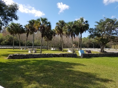
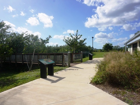
Oasis Visitor Center
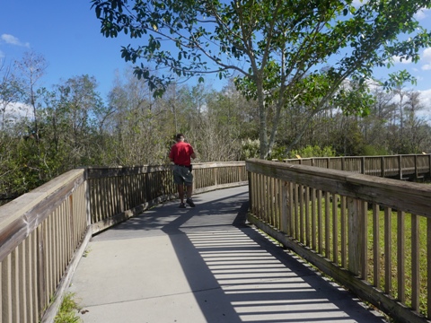
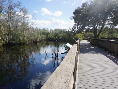
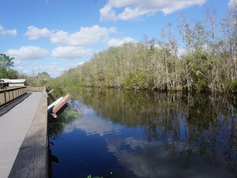
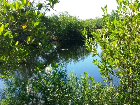
4.5 miles east of Monroe Station. Parking, restrooms, information, exhibits, shop, bookstore, boardwalk along a waterway filled with alligators. Florida Trail ends here.
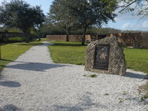
Originally a private airport in the 1960's, an airplane sat on the roof. Later a service station, the building was acquired by the Park Service in the 1980's and converted to the Visitor Center.
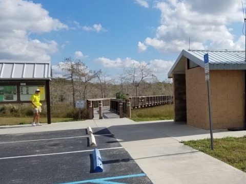
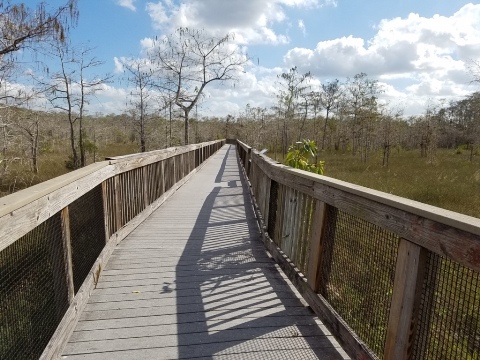
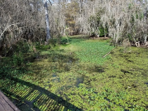
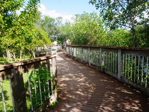
Kirby Storter Roadside Park
At about the midpoint of US 41 through Big Cypress, 3.5 miles west of Monroe Station. Parking, restroom, picnicking and one-mile round-trip scenic boardwalk.
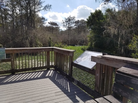
Kirby Storter oversaw construction of the Tamiami Trail and other south Florida roads for the State Roads Department.
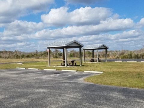
H.P. Williams Roadside Park
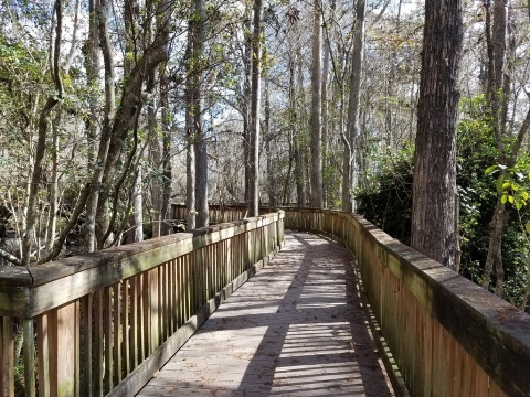
Parking, restroom, picnic tables, 650-foot boardwalk along a waterway with views of cypress swamp. 7 miles west of Kirby Storter Roadside Park.

Homer P. Williams was an engineer in charge of the construction of the Tamiami Trail in the 1920s.
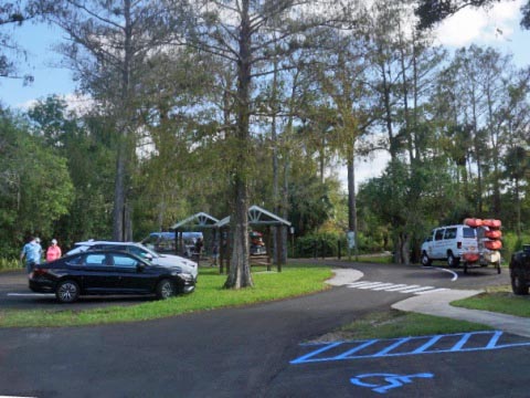
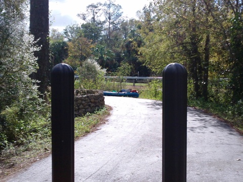
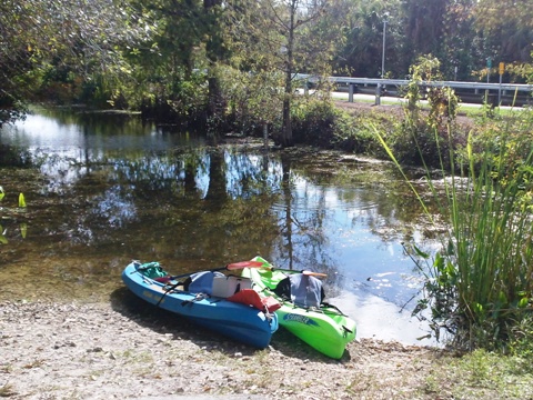
Turner River Paddling Launch
Turner River paddling launch, 0.5 mile west of H.P. Williams Roadside Park. Parking, restrooms, picnic. Paddling drop-off, 8.5 miles south to Chocoloskee Bay (link below).
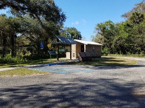
Ochopee Post Office
The Ochopee Post Office, 2 miles west of the Turner River bridge, is the smallest post office in the U.S. at 61 square feet. Tourists stop for photos and to get their letters postmarked.
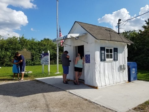
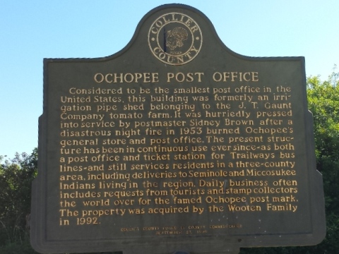
Originally a storage shed on a tomato farm, the building was converted to a post office in 1953 when the original burned down.
Nathaniel P. Reed Visitor Center
Parking, restrooms, information and exhibits, store, boardwalk, auditorium. Located 2 miles west of Ochopee Post Office, and 2.5 miles east of SR 29 (the road to Everglades City).
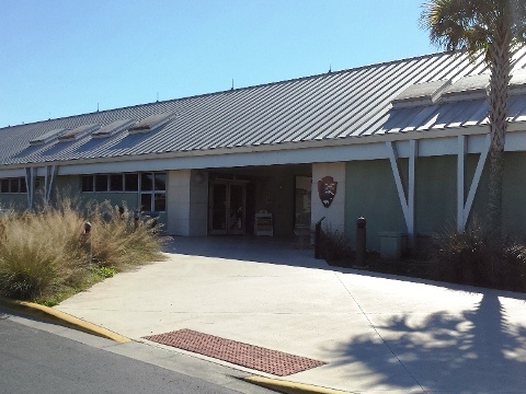


Nathanial P. Reed was a leading environmentalist at the Federal and State levels, and a champion of Everglades restoration. His accomplishments are too lengthy to list here, read more.
Note: Not shown here but a worthwhile stop is the Clyde Butcher Big Cypress Gallery. Butcher is world renowned for his large-scale black-and-white landscape photography, with his Everglades work best known. The gallery offers a variety of items for sale, and conducts swamp walking eco-tours to educate the public on the beauty of the swamp.
More Information and Resources
Nearby Biking:
Everglades Area
Eco-biking
- Inside the National Park
- Historic Roads
- Canal/Levee trails
Paved biking at Everglades National Park
South FL Overview - all 3 South Florida Regions, with Regional Overview map
Find Trails by FL Region or Listed A - Z

100FloridaTrails.com... 100+ Florida Multi-use Bike Trails, Best for Safe, Fun Recreation and Fitness
Other Websites:
BikeOrlando.net
PaddleFlorida.net
BikeTripper.net
Copyright © 100FloridaTrails.com. All Rights Reserved.